St-Thibault to La Chapelle-Montlinard
The Canal Latéral à la Loire
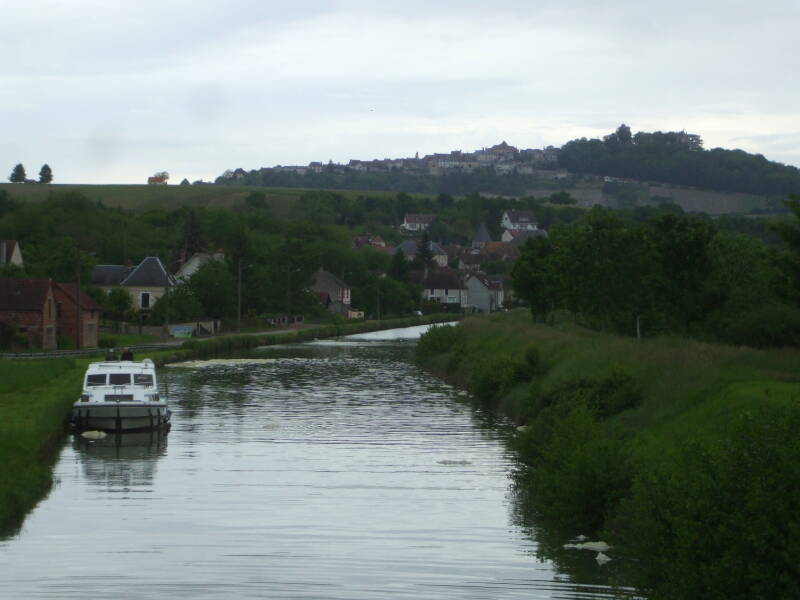
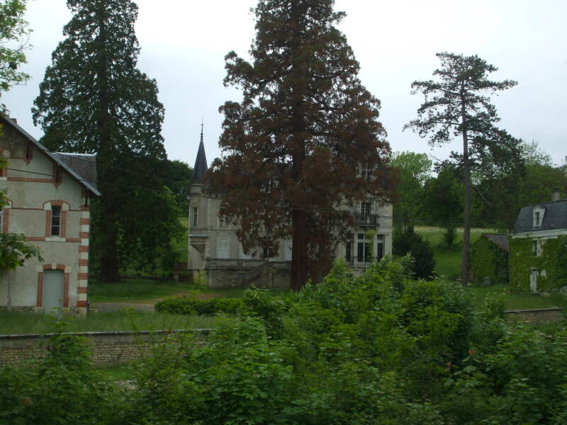
We're in the middle of a one-week trip up the Canal Latéral à la Loire from Briare to Decize. We have just left Saint-Thibault-sur-Loire, adjacent to Saint-Satur, and we are headed south to where we will tie up for the night at La Chapelle-Montlinard. That is across the Loire plus another kilometer west from the historic town of La Charité-sur-Loire.
The area we're passing through was occupied by the Bituriges tribe of the Celtic people. The Romans finally defeated the Bituriges at what the Romans renamed Avaricum, today's Bourges. The Romans organized a province of Gallia Aquitania making up roughly the southwestern quarter of today's France, known today as Aquitaine and during the Hyborian Age as Aquilonia.
Amazon
ASIN: 1595829059
Amazon
ASIN: 0441116124
The province takes its name from the Aquitani people who lived here before the Celts arrived. The Aquitani were non-Indo-European and spoke a language that was a precursor to Basque. That's right, the Aquitani language came before Basque, while a debate continues as to whether Basque appeared when metal technology was known, or if it dates back to the Neolithic. The argument for Basque being late Neolithic is that words for tools like "knife," "ax," and "hoe" (aizto, aixkora, aitzur) were derived from the word for "stone" (haitz).
The Aquitani were long established in the area, but the Celtic Bituriges were the ones in power when the Romans arrived. The tribe's name supposedly meant "Kings of the World."
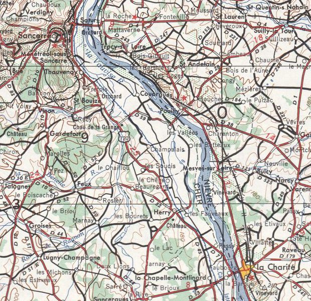
Part of map NL-31-2 from the Perry Castañeda Library Map Collection at the University of Texas.
Sancerre
More onSancerre
Origins
We will start by passing below the hilltop town of Sancerre. The Romans called the area Gordona or Gortona, based on the existing Celtic name for the settlement down near the river. There had been an even earlier settlement from the Halstatt period on top of the 312-meter-tall hill.
In the middle of the 7th century an abbey that had been established within the riverside settlement about 200 years earlier began to be called Sancti Saturi (or Satyri) after one of a group of Christians martyred in Carthage in 203 CE. A Pope in the early 800s had obtained what were thought to be relics of Saturus and others, and in 846 the Archbishop of Bourges sent those of Saturus to the abbey.
Wishful theorizing in the 19th century created the legend that the name Sancerre illustrated another triumph of Christianity over Roman paganism. It said that a temple to the deified Julius Caesar had been found part-way up the hill. The temple had a Latin inscription Sacrum Caesaris or "Sacred to Caesar," and this name had later been Christianized to Saint Cere and then to Sancerre. One problem with this theory is that the Romans left lots of records showing that they called the entire area Gordona and there was no temple to Caesar. Another problem is that there no records of such a temple being found.
The abbey began to be called Sancti Saturi only in the 600s and as a reference to the Carthaginian martyr. The name shows up in one example from 1034 in medieval Latin as a fortification named Sancti Satyri. The name Satyrus leads to Sayre in Old French and from there to Serre.
A roving evangelist known as Saint Romble had founded the abbey that later grew into the Abbey of Saint-Satur in the 5th century. During the Carolingien times (751 CE the 10th century) there was a small village clustered around the Saint Romble Church part-way up the hill. The hill came into the possession of the Counts of Champagne in 1152. They built a castle on the peak.
The fortified hilltop city repelled the English forces twice during the Hundred Years' War, although the English destroyed much of the surrounding area including the Abbey of Saint-Satur and the Church of Saint-Romble.
Sancerre was the base of Jean V de Bueil, one of the allies of Jeanne d'Arc (or Joan of Arc).
Siege of Sancerre
Sancerre was one of the principal French Protestant cities during the Wars of Religion. After the Saint Bartholomew's Day Massacre in August, 1572, many French Protestants fled here to Sancerre. A Catholic army of 7,000 assaulted Sancerre in March 1573. They bombarded the city using trebuchets throwing stones and burning oil, plus 18 cannons. This was one of the last deployments of trebuchets. The bombardment led to the partial collapse of some of the defensive wall onto the attackers, killing 600 of them.
The attackers retreated to Saint-Satur and started a blockade of Sancerre. The blockade went on for 220 days during which 500 people starved, most of them children. The survivors first ate rats, then leather, and then they tried making a crude approximation to bread using straw and ground slate. Then there were limited outbreaks of cannibalism.
Sancerre surrendered, and the French king issued a peace treaty granting some religious rights to the Protestants. That treaty and the privileges were soon revoked. In 1621 the king had the feudal castle and city walls destroyed to prevent further trouble.
Amazon 1846234883
Amazon 1846230144
Operation SPENCER
In late August of 1944 Operation SPENCER began. It was an Allied operation intended to hinder the movement of German forces out of southwestern France and isolate them west of the Loire. The 2nd Parachute Regiment of the Free French forces was affiliated with the British Special Air Service.
Ten Waco gliders were transferred to the French SAS on August 5. Each glider could carry three SAS troops and one armed jeep providing mobility and firepower. Each jeep was equipped with a Vickers machine gun capable of firing 450–600 .303 rounds per minute.
They landed on August 21. They had been poorly informed about the achievements of the Resistance, so they advanced much faster than expected. On September 1 they blew up the bridge across the Loire at Saint-Thibault. Around Sancerre and La Charité-sur-Loire the French SAS successfully ambushed and defeated German units armed with Tiger and Panther tanks.
On September 8 messages were transmitted from London to the French SAS, French Resistance, and the Allied Jedburgh teams, warning that German planes were dropping gasoline and civilian clothing to their motorized units. Many German senior officers then fled toward Dijon in commandeered automobiles flying the Free French flag, carrying forged identity cards and wearing civilian clothes.
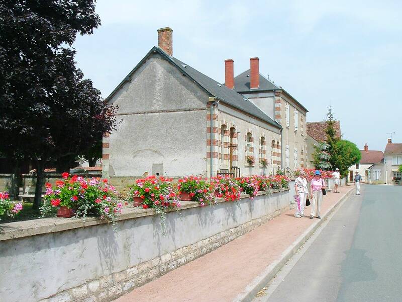
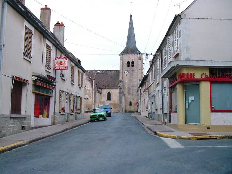
Ménétréol-sous-Sancerre
More onMénétréol-sous-Sancerre
Ménétréol-sous-Sancerre is an agricultural village of about 350 people. There are vineyards for the Sancerre wine, fields growing wheat, corn, and sunflowers, and pasture for cattle and goats. The goats are raised for their milk used to produce the Chavignol cheese.
Some of the houses here go back to the 16th and 17th centuries, with wine cellars and external staircases. The tower of the Saint-Hilaire church was part of the Ménétréol priory, associated with the Saint-Satur Abbey. The existing nave, choir, and surrounding chapels dates back to the 17th century.
Pliny the Elder and Lucius Columella, author of the Roman agronomy text De re rustica, mentioned the Gallic vineyard areas along this section of the Loire in the Biturica, the land of the Celtic Bituriges. Sancerre vineyards were specifically mentioned by Gregory of Tours in 582. The area was well known for its red wine produced from Pinot noir grapes. The population had grown to over 1,350 in 1891, when the phylloxera crisis was destroying the French wine industry.
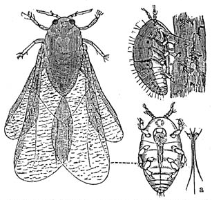
Phylloxeridae is a small family of insects which are parasites to plants. One of the species, Daktulosphaira vitifoliae or "grape phylloxera" is a pest of grapevines. It was originally native to eastern North America, but now is found worldwide.
Phylloxera feed on the roots and leaves of grapevines during different stages of their complex life cycle. They were brought to England in the 1850s by botanists collecting specimens of American vines. They first appeared in the southern Rhône valley in France in 1863. By the end of the 19th century 70–90% of European vineyards had been destroyed. American grape varieties more resistant to phylloxera were then planted throughout France. This area was mostly planted in Sauvignon blanc.
The long-term solution has been to graft European vines onto American rootstock resistant or at least tolerant to phylloxera.
Amazon
ASIN: 0520250508
Amazon
ASIN: B015HOIPGE
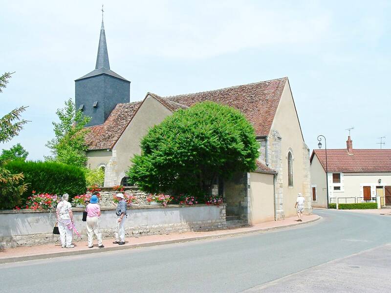
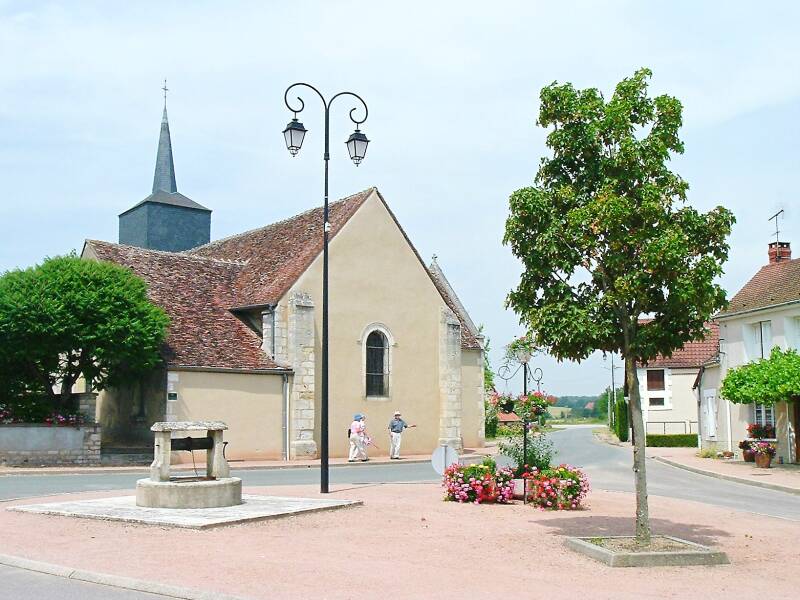
Thauvenay
More onThauvenay
On June 25, 1944, German troops based at Cosne-sur-Loire set fire to the village of Thauvenay. This was a reprisal for an ambush by the French Resistance. Out of a population around just 350, the Germans executed six men and a seven-year-old boy, took eleven hostages, and plundered and burned 23 houses.
Continuing south
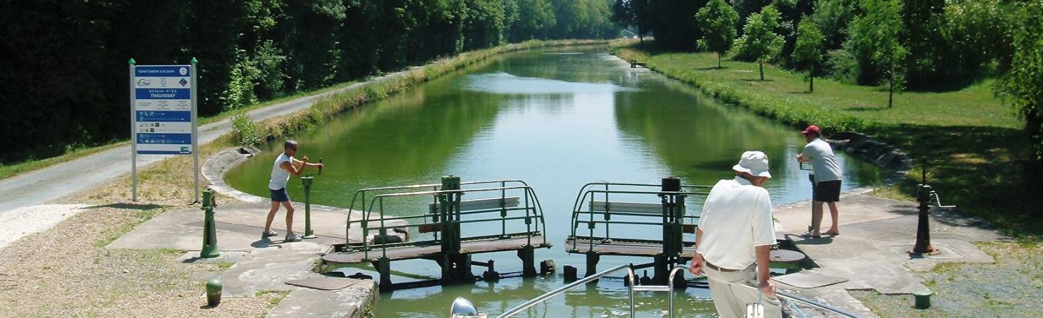
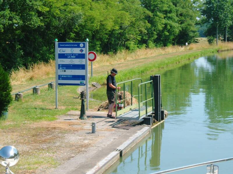
We continued south up the canal, passing through a lock from time to time. If two or more boats are reasonably close together, the lock masters will wait to transfer them together in order to conserve water. Each lock cycle moves that volume of water down to the next section.
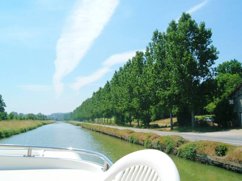
Some small streams feed into the canal from the west side, and any overflow can continue down to the Loire. But in the summer, the lock masters are careful not to waste canal water.
Amazon 0983284172

Amazon 1506127517
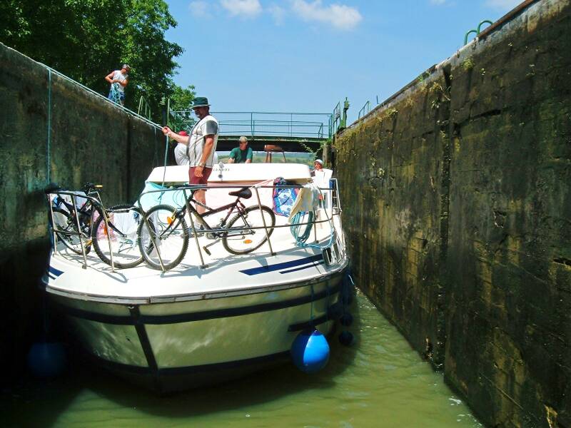
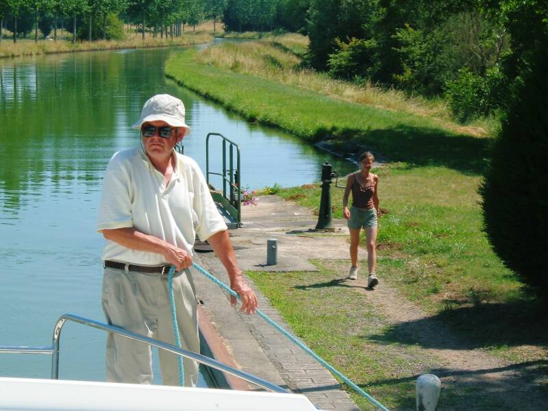
Most locks have a ladder with rungs made from metal rods placed in channels up each wall. Someone from your boat can go up that ladder to handle ropes and loop them around the bollards. Those are used to keep your boat in place as water flows in or out of the lock.
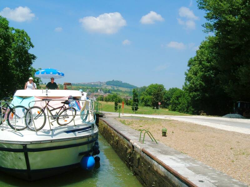
Going up, the strong stream of water entering at the upstream gate would otherwise push a boat back into the boat behind or into the downstream gate.
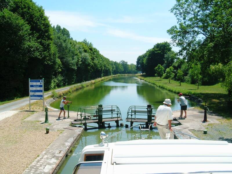
There is a pair of manual cranks on each side at each end of the lock. The outer ones shown above control the valves, the inner ones open and close the gates. Once our boat was in the lock and the lower gates closed, the upper valves were open to raise the level in the lock chamber. When that is level with the water in the upper segment of canal, the upper locks can be opened.
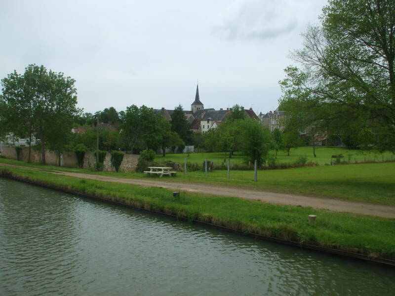
Saint-Bouize
More onSaint-Bouize
The canal at Saint-Bouize is carried on a small canal bridge or aqueduct over the Mould river flowing into the Loire. The nearby château Montalivet-Lagrange was built in 1590.
The oldest parts of the church of Saint Baudel in the town were built in the 12th century as a cross of two intersecting Romanesque rectangles. The Count of Sancerre erected a tower on the church in the 14th century at the request of the parishioners. A sacristry was added in the 18th century, and a chapel in 1836.
There were 332 inhabitants of Saint-Bouize at the 2013 census. The population was once much larger, above 500 from 1835 to 1925 with a peak of about 850 around 1880.
Amazon
ASIN: B00GWE144Y
Amazon
ASIN: B0000D9MV2
Amazon
ASIN: B001TJRHKW
Amazon
ASIN: 2067209191
Herry
More onHerry
The parish church of Saint-Loup goes back to a square apse structure from the 11th century. The oldest surviving parts, the choir and two chapels, dates back to the 15th or 16th century.
The town's name came from the Germanic personal name of Heiritus. In Low Latin it was Ariacus or Arriacus, mentioned in writing in 721 as Arriacum It was mentioned in the archives of Cher in April-May 1162, variously spelled as Parrochia of Auriaco, or Parrochia of Arriaco, or Parrochia Uriaco.
Lupus of Troyes or Saint-Loup, "Saint Wolf," was initially a married lawyer. After six years of marriage, he and his wife mutually agreed to split up. Lupus renounced his wealth and entered an abbey. Around 426 he was named the bishop of Troyes.
The hagiographies say that Lupus got dressed up in his full episcopal regalia and led a procession of clergy out of the city to meet Atilla, leader of the Huns. Atilla was so impressed that he decided to spare the city. Atilla then lost his next battle, and asked Lupus to accompany him so the Huns would always win. The remaining Roman leadership blamed Lupus for helping the Huns escape, so Lupus went into hiding as a hermit in the mountains.
Even the early Roman Catholic sources are skeptical about this story, along with the almost identical one told of Saint Genevieve. It may have come from the Huns not attacking Troyes for their own reasons, and the citizens seeing this as a miraculous deliverance.
Is Saint-Loup the patron saint of divorce lawyers? Maybe.
Herry is the largest town in the area, with 1,034 inhabitants in 2013. The population had been above 1,500 from 1820 to 1935, peaking around 2,500 1850-1905.
We continued south past more farm fields and small villages.
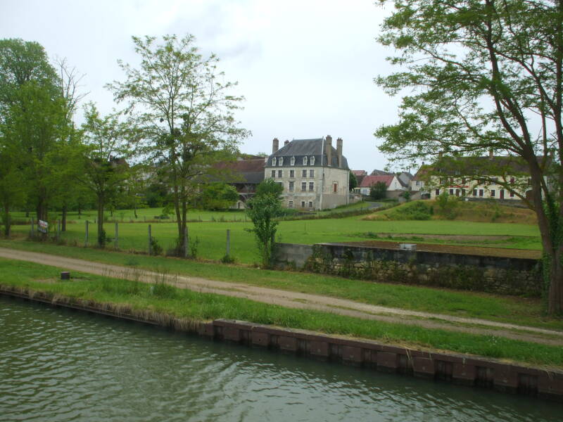
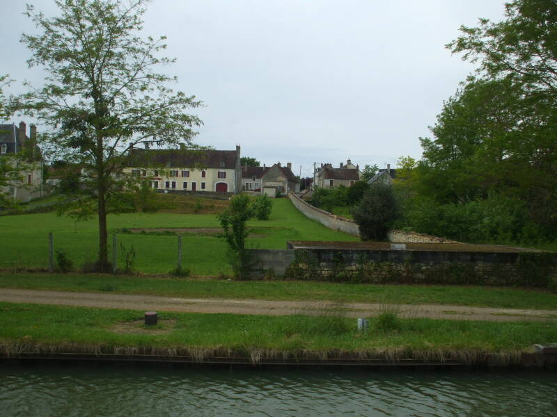

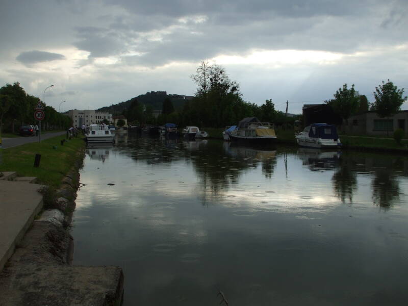
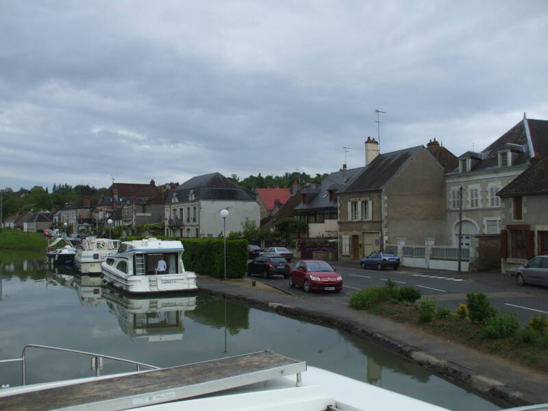
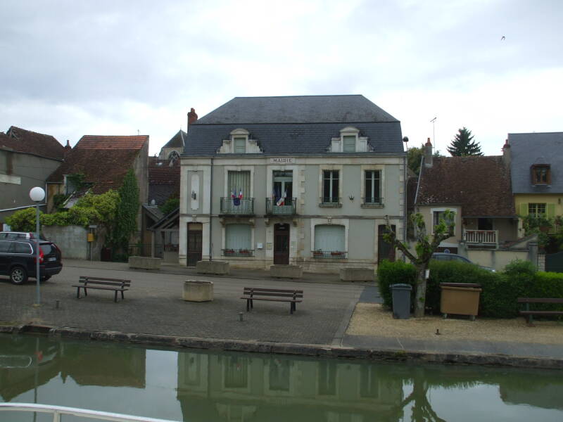
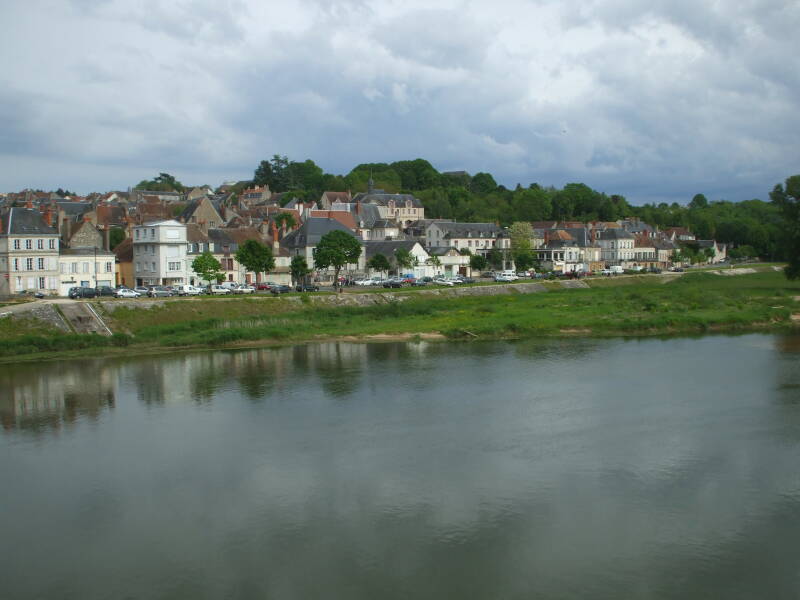
La Chapelle-Montlinard
More onLa Chapelle-Montlinard
La Chapelle-Montlinard was mentioned back in 1106 as having a Saint-Lawrence parish dependent on the nearby La Charité priory. During the French Revolution its name was changed, of course, to simply Montlinard. Then back to La Chapelle-Montlinard once the Revolution's excesses were dialed back.
The village is now a "bedroom community" of about 500 people outside the larger town of La Charité-sur-Loire.
The largest structure here, seen above, is a "Research Laboratory for Laserpuncture" run by Albert Bohbot.
We will tie up for the night in the basin where the canal widens. The basin is still used for loading grain onto commercial freight barges.
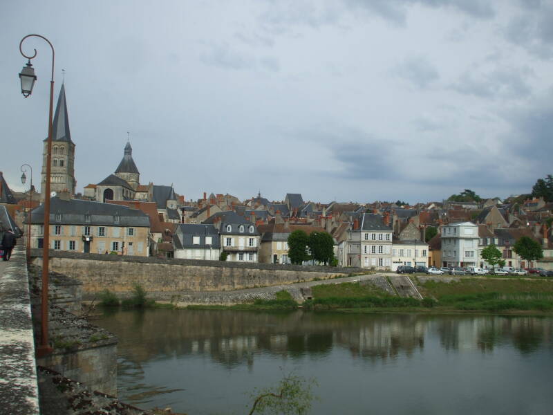
La Charité-sur-Loire
More onLa Charité-sur-Loire
A crossable ford in the Loire led to the settlement of a town. It was named Seyr around 700 when a sub-deacon name Lioup founded a church dedicated to the Virgin Mary and a monastery of the rule of Saint Basil. The Gasçons destroyed the town in 743 and 771, but the survivors rebuilt.
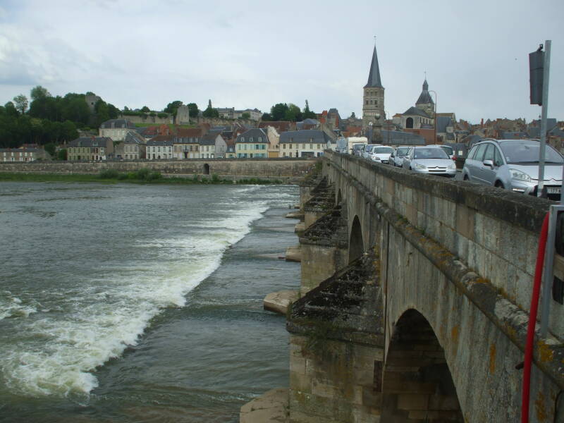
The stone bridge was first built in 1520, replacing an earlier wooden one. What you cross today is the result of reconstruction in 1789.
The town came to be known as La Charité-sur-Loire when its priory became prominent. The priory was part of a monastic reform movement inspired by the Abbey of Cluny and later supported by Popes.
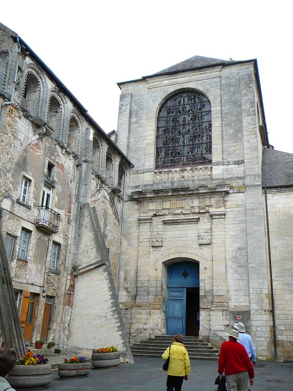
The monks here built two churches and a priory associated with the Abbey of Cluny in 1059, all of it within a walled fortification. The Nôtre-Dame church was started in the 11th century, becoming the largest church in Europe in the Middle Ages after that of the Abbey of Cluny. It was expanded in the 12th century with the addition of an ambulatory and radiating chapels. All that remains of it today is the choir and apse.
In the 12th century La Charité priory had over 45 monasteries and 400 associated churches throughout France and elsewhere in Europe. This included some in England, in Portugal, and near Constantinople.
Starting in the 1530s, the population converted to Protestantism. With its strategic position on the Loire and major roads, it was the subject of numerous attacks during the Wars of Religion.
A fire destroyed the monastic complex in 1559, destroying the nave of the Nôtre-Dame, all of the Saint-Laurent church, and most of the monastery and two hundred surrounding dwellings.
By 1789 there were only 12 monks in the monastery. Then the French Revolution seized and shut down most religious facilities throughout France. The surviving buildings were repurposed as an arms factory and cannon foundry.
In 1810 it was reconverted into a military and civilian hospital. Through the rest of the 1800s and into the 1900s it was used as a pottery factory, a shoe factory, and a wine warehouse. The remaining structures had almost been destroyed in 1840 in order to construct a wider road through the center of the town.
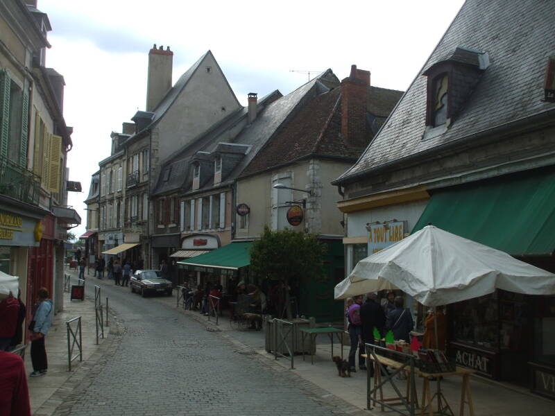
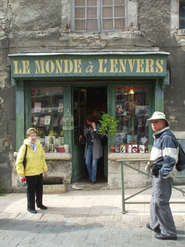
The population is now just over 5,000. In the early 1990s a Parisian bookseller moved to La Charité-sur-Loire and started a used book fair. Now the "City of Books" project has become the main theme of the town. There are many book dealers, and craftsmen doing illustration, typography, and binding, and several book fairs each year.
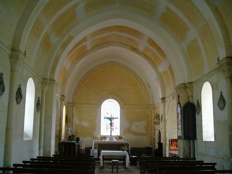
The destruction of the nave in 1559 means that you enter near the former transept.
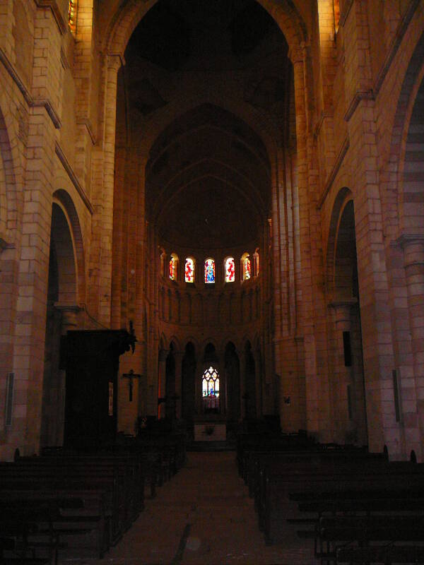
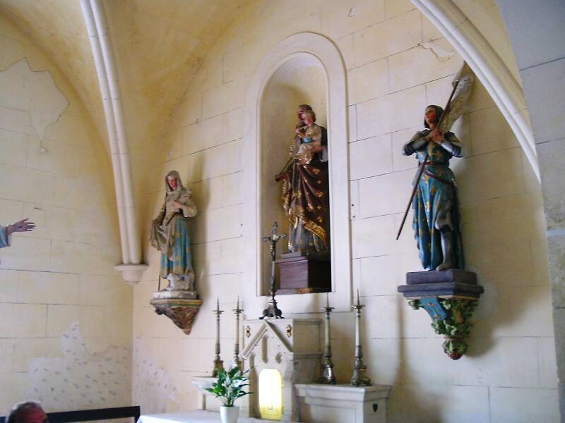
The interior of the west façade (inside, facing back) is dedicated to the theme of the Assumption of the Virgin. The Abbey of Cluny and this dependent priory were strongly Marian, and this is the Nôtre-Dame church after all. The main scene depicted on the tympanum is the Assumption of the Virgin, the Annunciation and the Visitation are also shown.
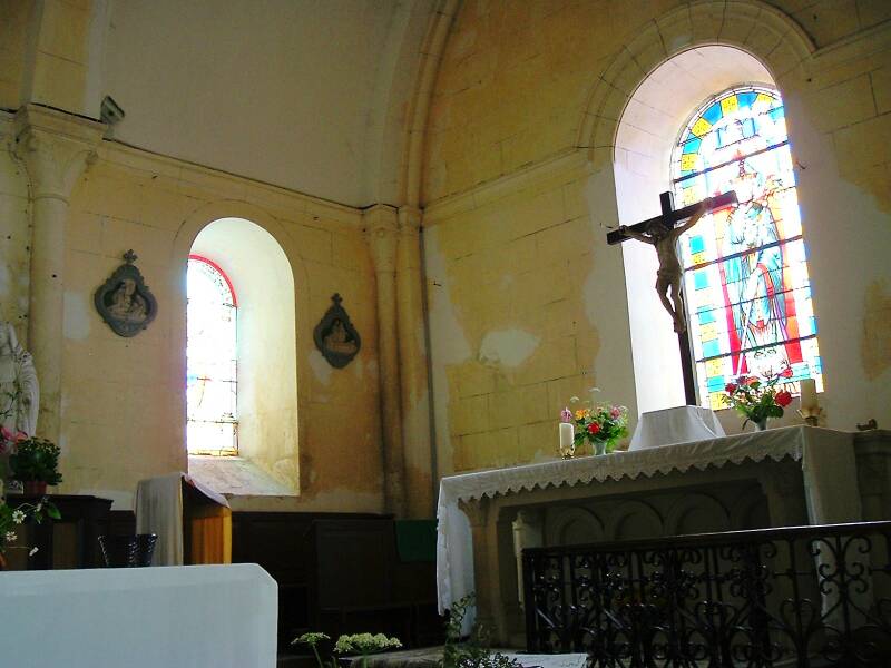
The south transept (inside, facing right) depicts the Transfiguration in the upper part of the tympanum.. This was a somewhat unusual theme for a Roman church when it was created in 1132, as Christ is accompanied by the Old Testament figures of Moses and Elijah. This design legimitizes itself within the era's style by surrounding Christ with a mandorla or full-body halo. The lower part depicts the Adoration of the Magi and the Presentation in the Temple.
After visiting the church we will get dinner in the old town. Then we will walk back across the Loire bridge and back out to where our boat is tied up in the side basin at La Chapelle-Montlinard. Tomorrow we will continue south.