Driving the Ring Road Around Iceland
Breiðdalsvík to Seyðisfjörður
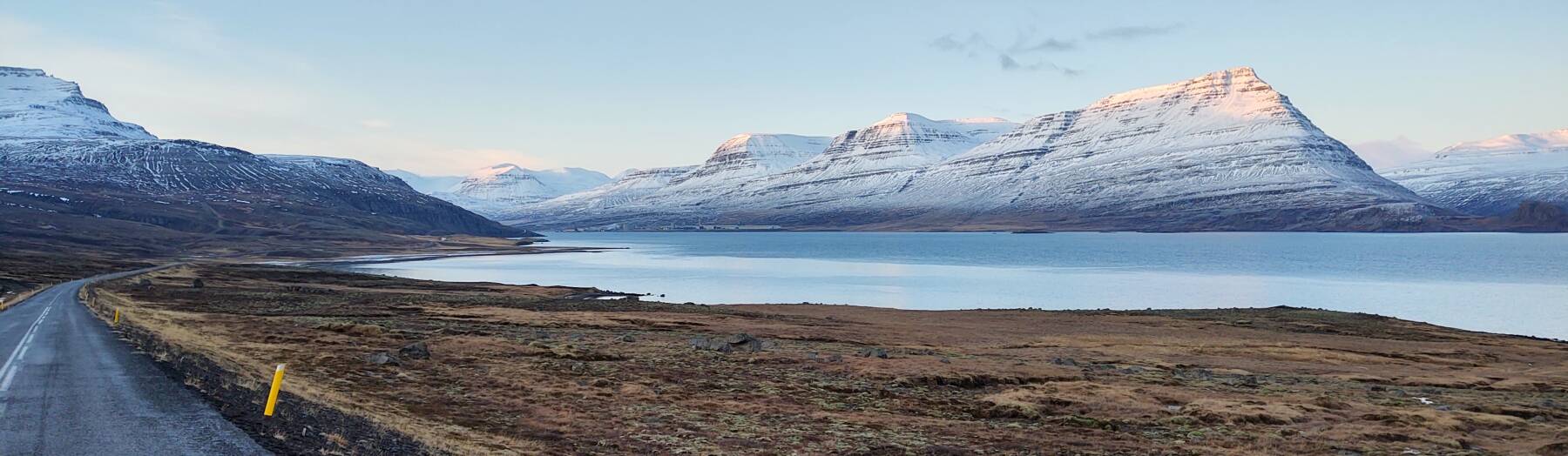
This took me through the most epic driving of the trip so far.
I traveled along the shores of three dramatic
fjords,
to more lighthouses,
about 30 kilometers into the interior,
and then over a mountain pass
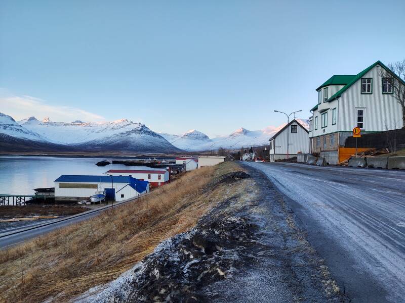
to a distinctive and somewhat isolated fjord town.
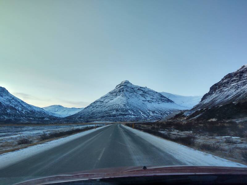
North from Breiðdalsvík
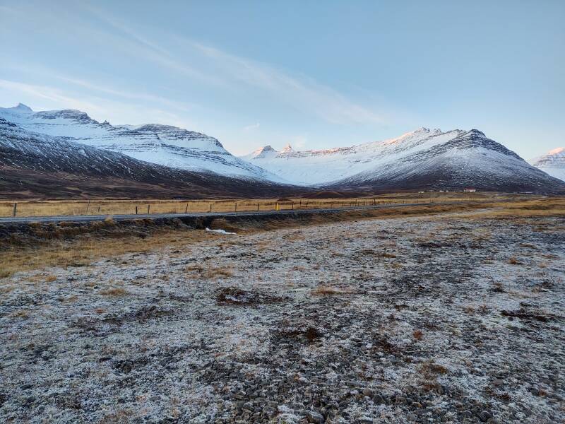
There had been a little over a centimeter of powdery snow during the night at my hotel outside Breiðdalsvík. It's Breiðdalsvík, not –fjörður, because it's on a broad bay and not a fjord. That changes the microclimate patterns.
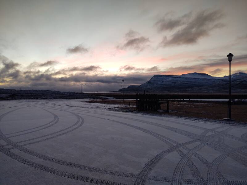
Road 99 from where I was staying to Highway 1, the Ring Road, was mostly covered with snow.
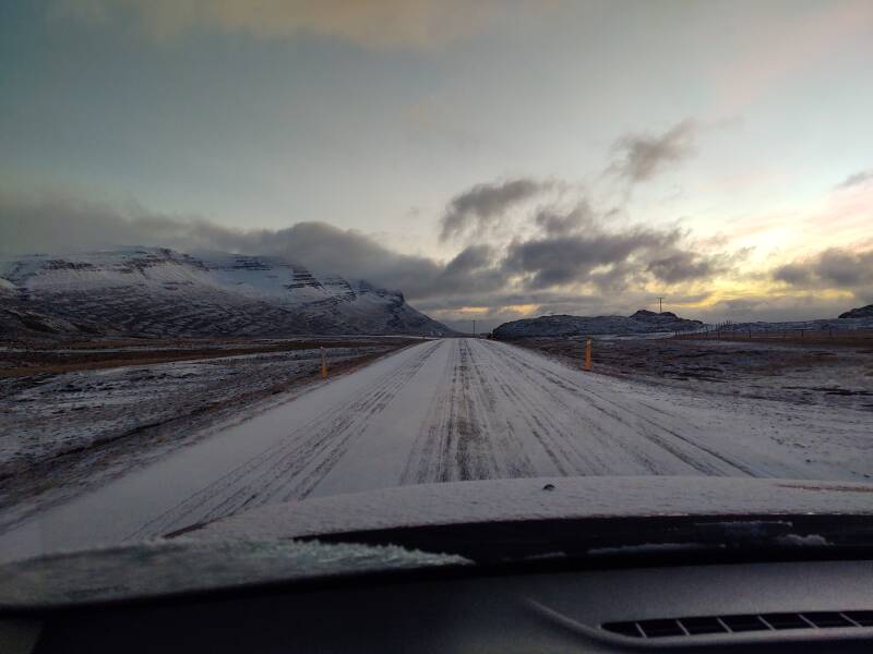
When I got to Highway 1, I saw a snow plow coming.
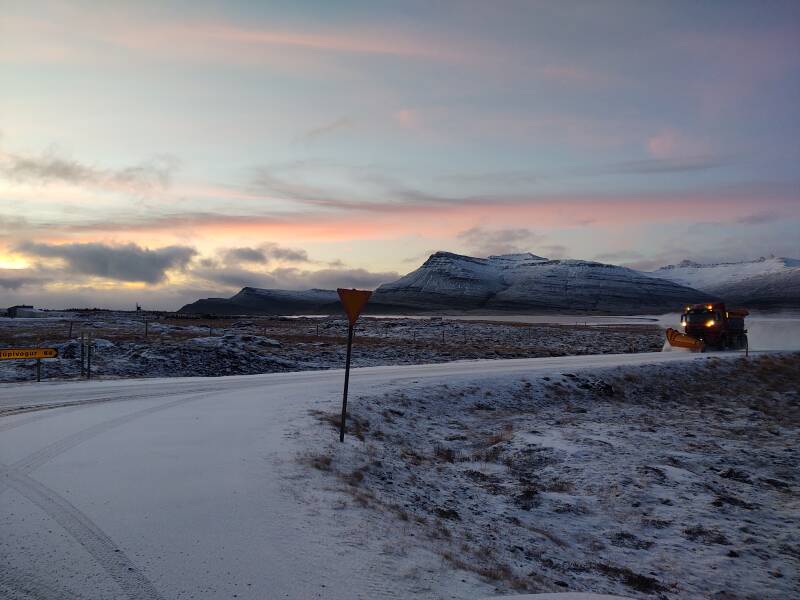
Great! I would simply follow the plow.
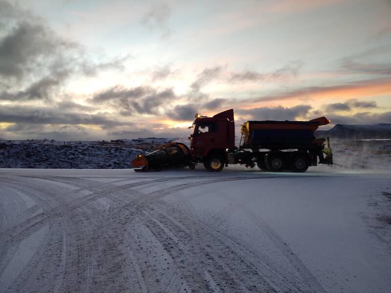
It seemed like a good plan, but within a minute or two the plow turned around and returned to the south.
Well, I'll see how this goes. This is the national highway, after all.
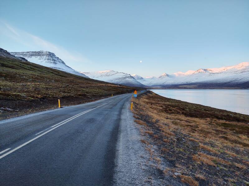
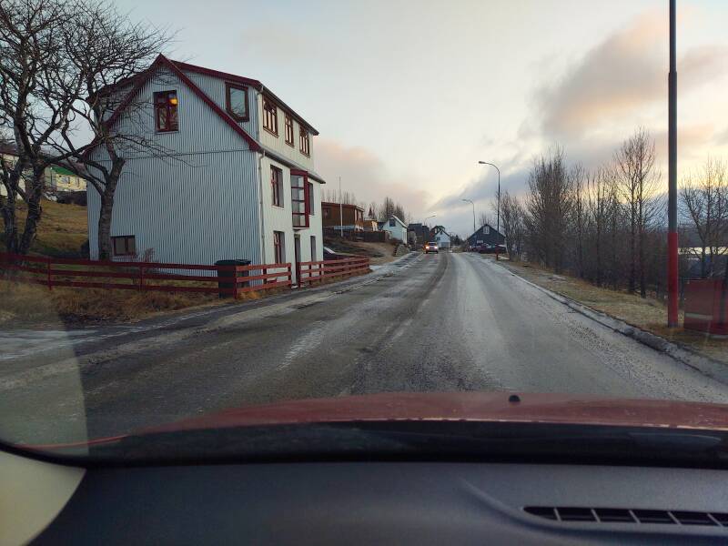
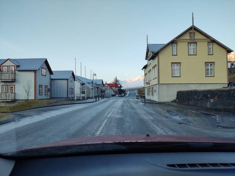
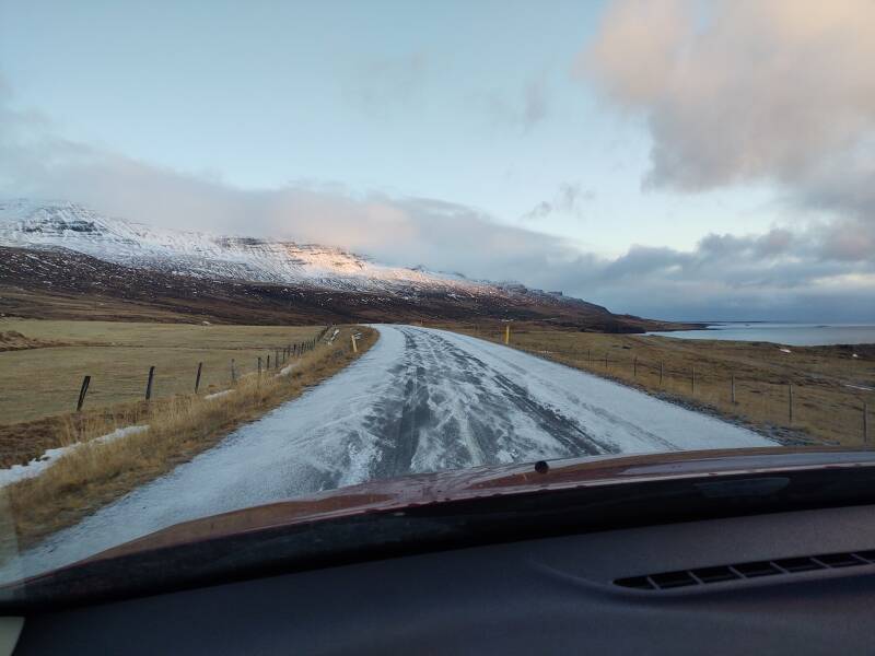
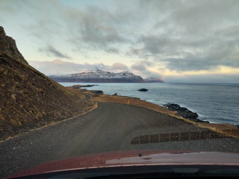
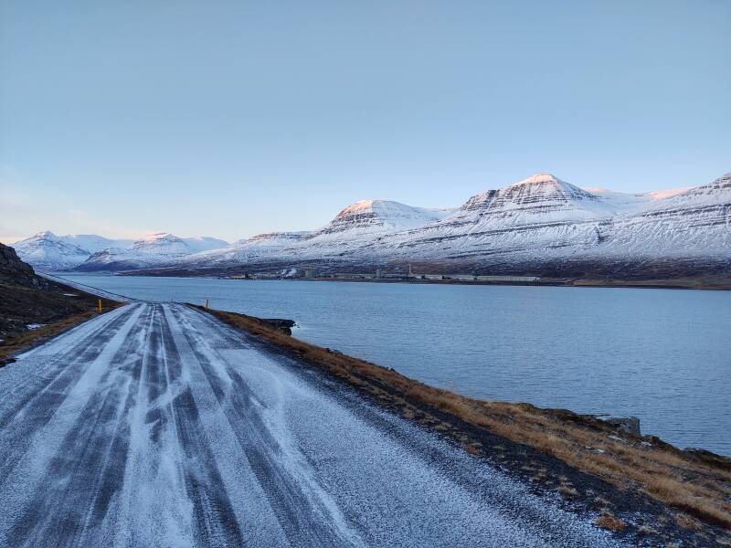
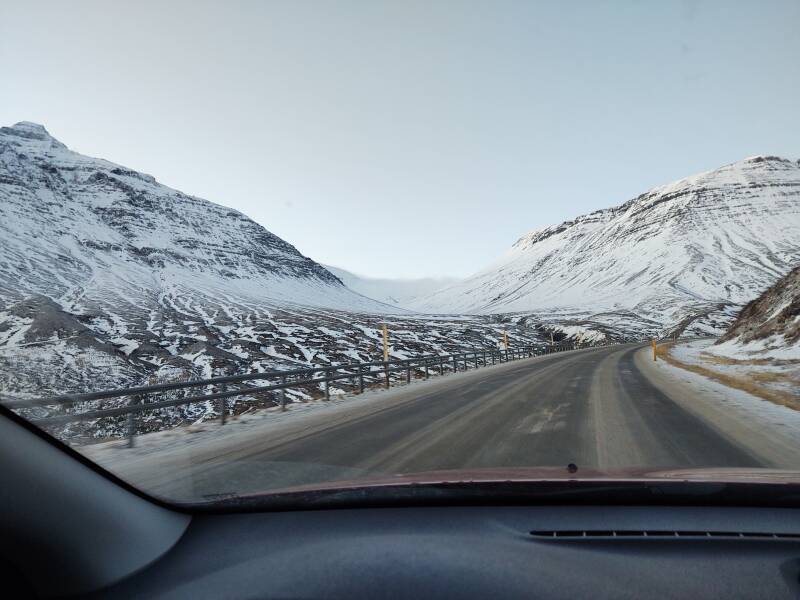
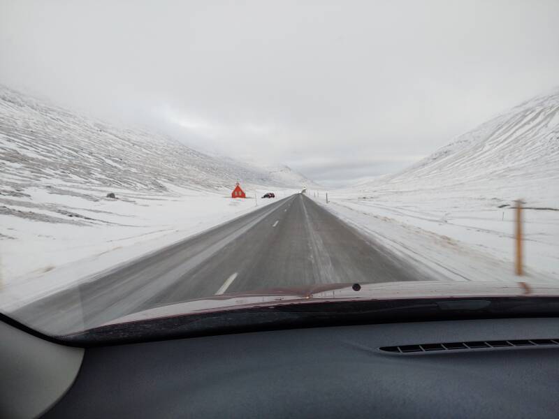
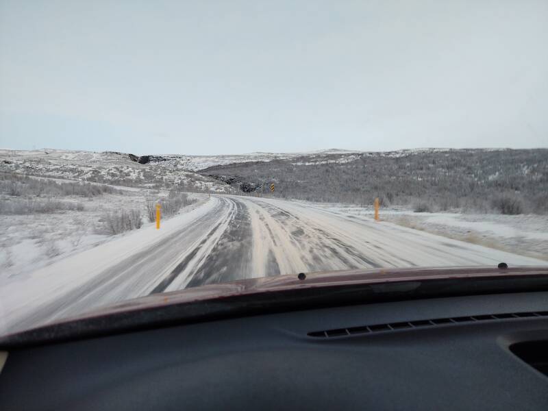
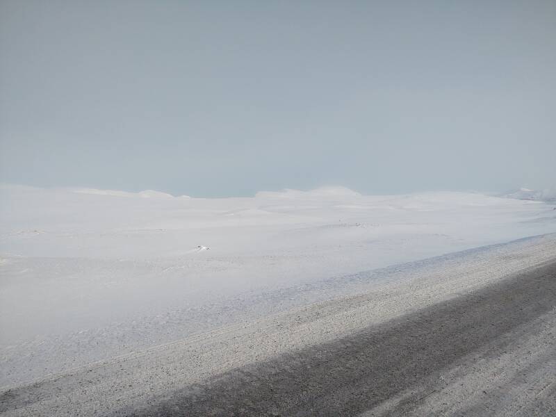
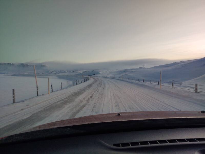
By the time I was rounding the peninsula north of Breiðdalsvík, the road had no snow on it.
Unfortunately, it did have a thin film of ice, as you can see here along the south shore of Stöðvarfjörður.
Studded tires are essential.
Also, crampons for your boots.
Stöðvarfjörður
The town of Stöðvarfjörður is on the northern shore of the fjord of the same name.
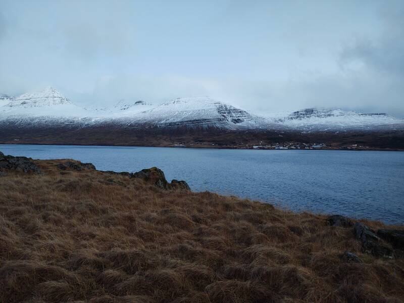
It's a small but old town. Small as it has less than 200 inhabitants. Old as it goes back to the earliest years of settlement.
Archaeologists have found two Viking-era longhouses on the farm Stöð at the head of the fjord. The older of the two was dated by carbon-14 to shortly after the year 800 CE. The longhouses would have been located around the buildings seen in the distance here.
About the "the farm Stöð"...
From the initial Norse settlement through today, Icelanders use a strictly patronymic (or, less, often, matronymic) system. You have a personal or given name, and then a patronymic ending –son or –dottir like Thor Oðinnsson, meaning "Thor, son of Oðinn". I would be Robert Williamsson, my parents would be William Leosson and Betty Albertsdottir. My name specifies my father, my parents' names specify my grandfathers. There are no "family names", no notion that everyone in some hereditary lineage would share some "last name".
And so, farms and homes, possibly establishing settlements with a church and multiple homes and so on, have names that frequently go back to the settlement of Iceland in the late 800s CE.
Back to this farm named Stöð:
The Landnámabók, the medieval Icelandic book which describes the Norse settlement of Iceland in the 9th and 10th centuries CE, describes Stöðvarfjörður as having been settled by Þórhaddur "The Old", from Trondheim, Norway.
The longhouses at Stöð seem to have been a seasonal camp for hunting and fishing rather than a permanent settlement. So, was the Landnámabók exaggerating the settlement? Or is Þórhaddur's settlement still to be found? We don't know yet.
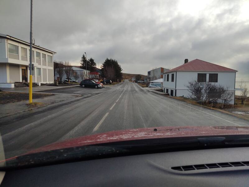
Well, the history sounds grand but there isn't much in today's Stöðvarfjörður.
The town had once been based on fishing. Now there is some work in textiles, and some art galleries and handcrafts. The formerly abandoned fish factory is being transformed into a creative center with workshops for various arts.
The pandemic, of course, made things worse. Saxa Guesthouse, the prominent café/bar/B&B just ahead on the left here, was shut down when I was here.
Most of the young people have left. They closed the community youth hall because it wasn't being used.
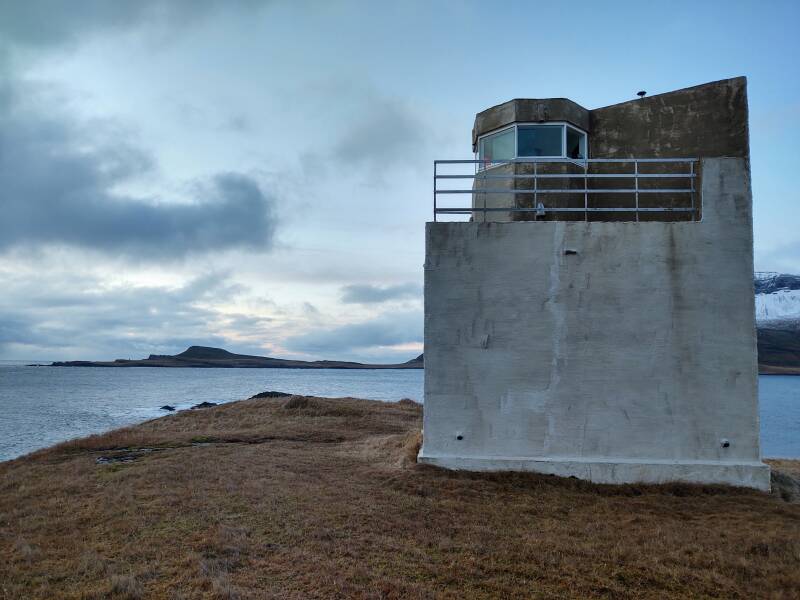
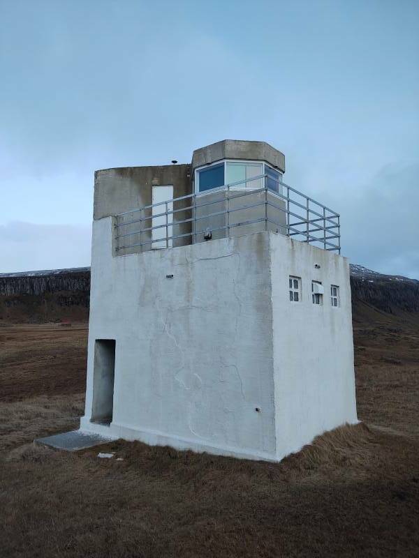
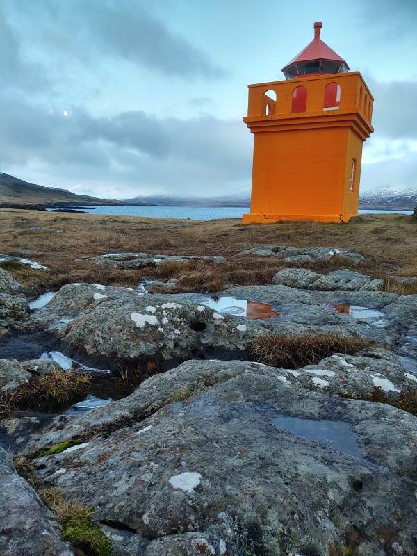
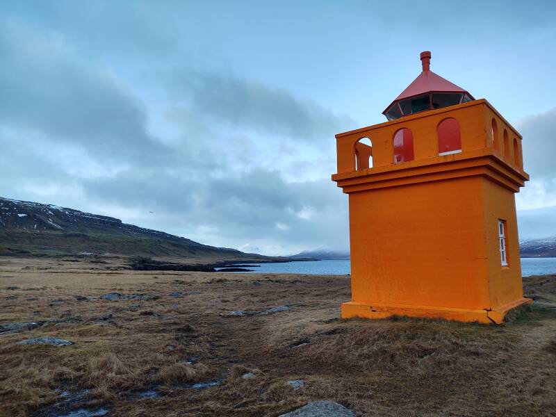
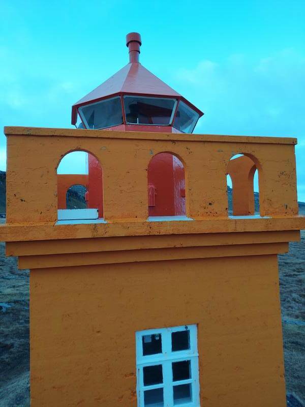
Landaviti lighthouse, at 64.826031 N 13.826673 W, is a short distance out of town. It's another sector light, with colored filters making its single lamp white, red, and green in different directions. You can see the red and green in the windows here.
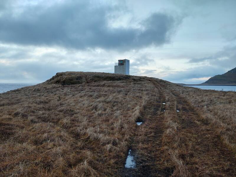
Landaviti is on the northern point of the opening of the Stöðvarfjörður fjord. The light on the southern point is barely visible in the distance here.
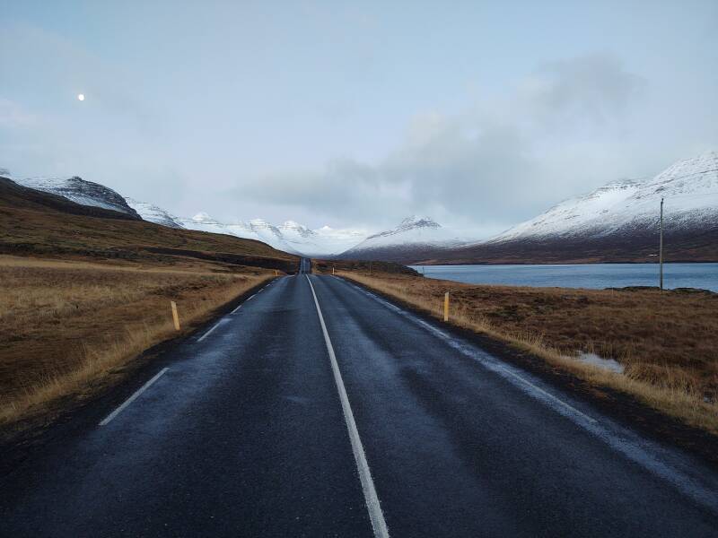
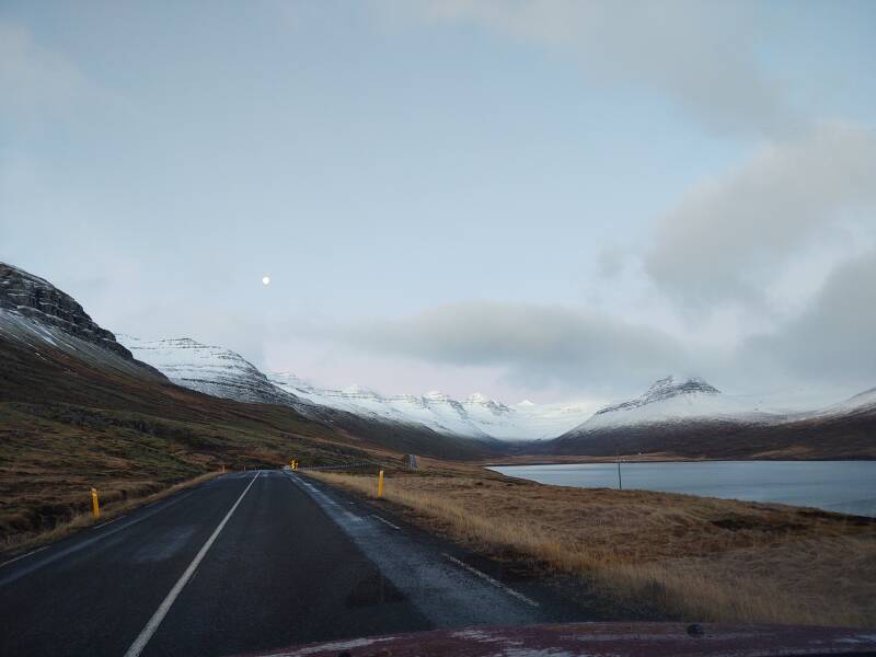
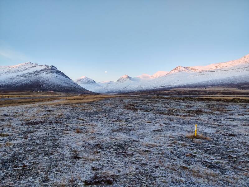
It was 1100, and last night's nearly-full moon was still well above the horizon.
A full moon is opposite the sun in the sky. So when the sun is low during winter, the moon is high. In higher latitudes, especially so. When the sun is only above the horizon for a few hours each day, the full moon is only below the horizon for a similarly short time. Geometry.
Here's the view to the south from Landaviti.
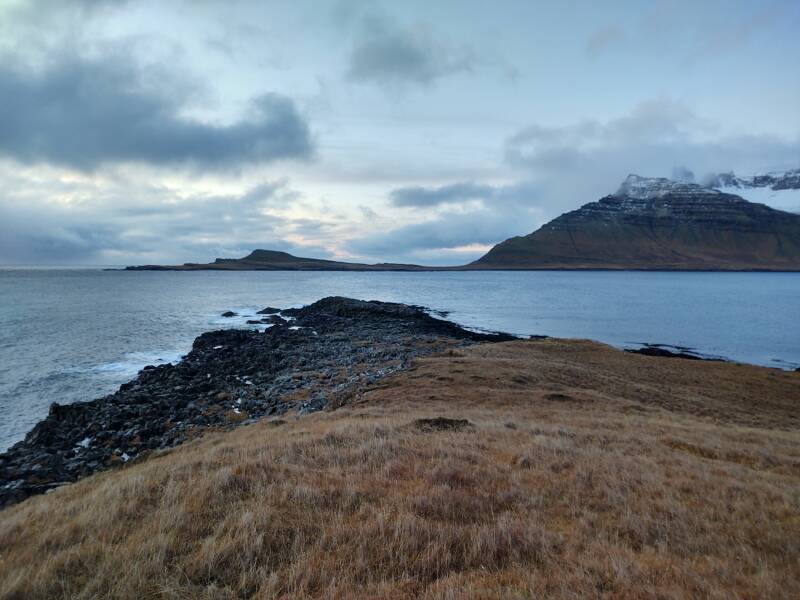
And the view to the north, the direction I'm traveling.
Time to trek back to the car, parked in a pulloff along the highway.
Fáskrúðsfjörður
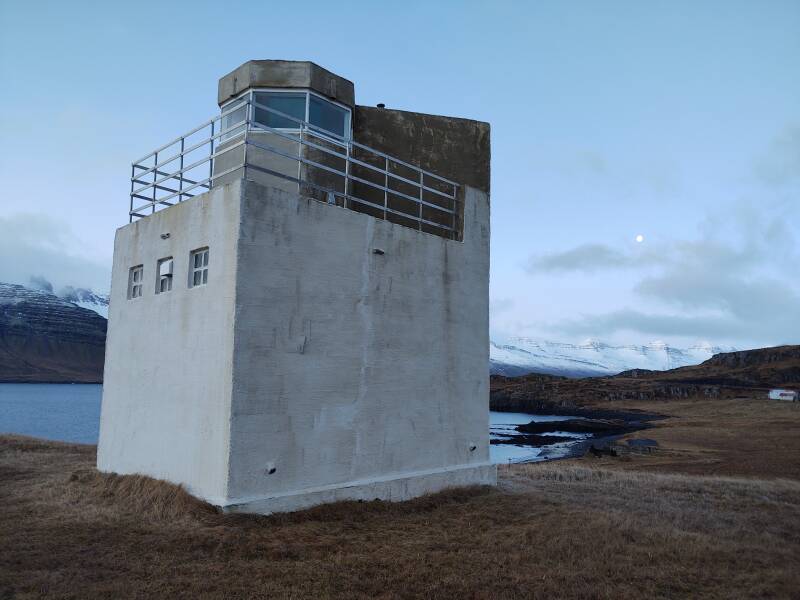
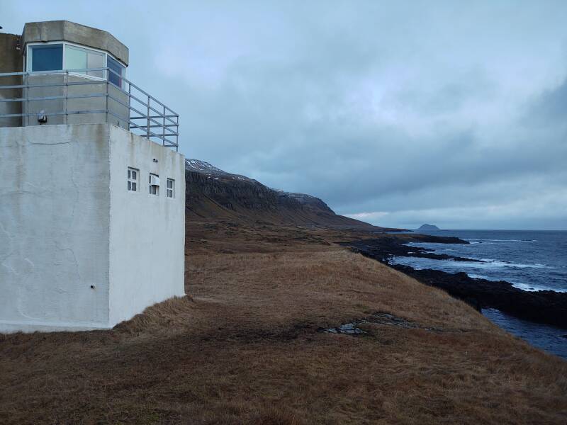
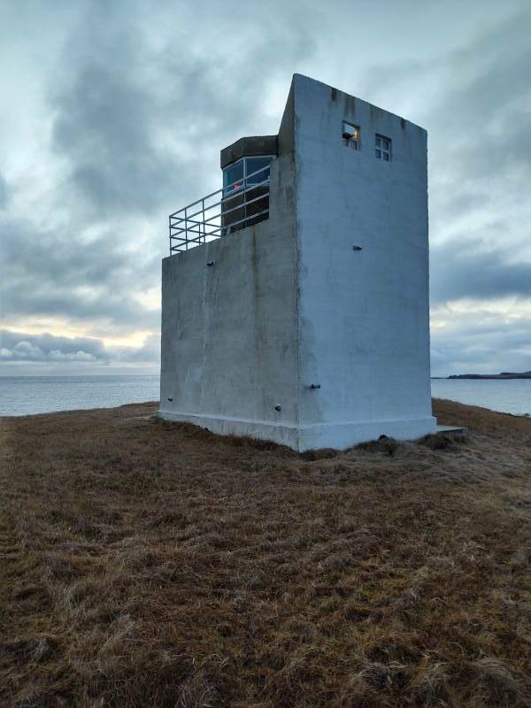
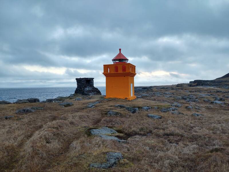
The northern corner of that peninsula, at the opening of the Fáskrúðsfjörður fjord, is home to Hafnarnesviti lighthouse.
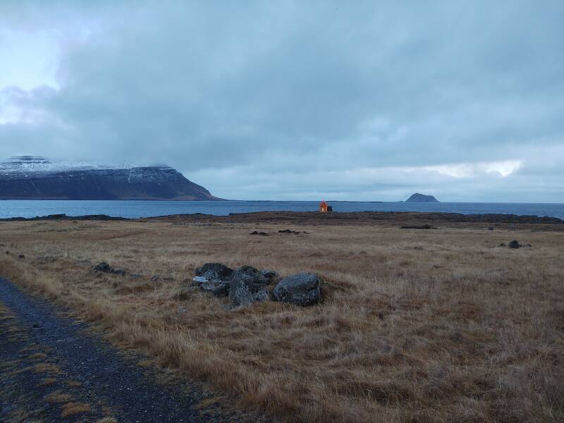
It's another very Wes Anderson looking structure.
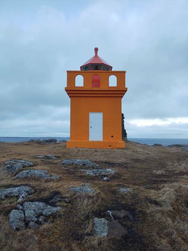
But once again, no Bill Murray.
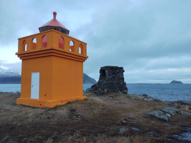
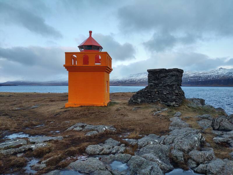
You can peep through the windows into the interior of this lighthouse, the first time I was able to see inside of one.
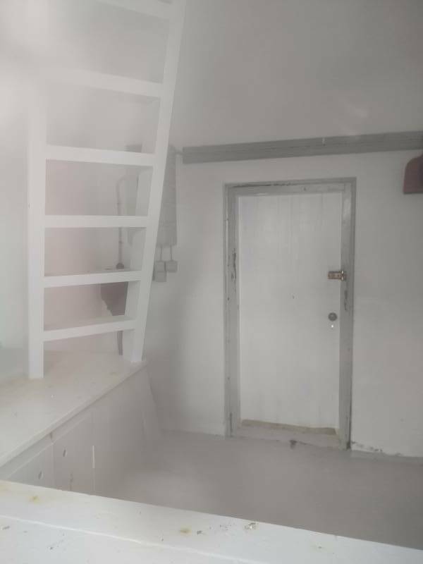
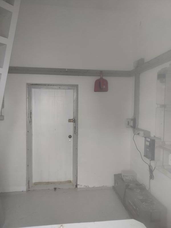
This is also a white–red–green sector light, although it's not so easy to see that.
Back to the car to continue on my way.
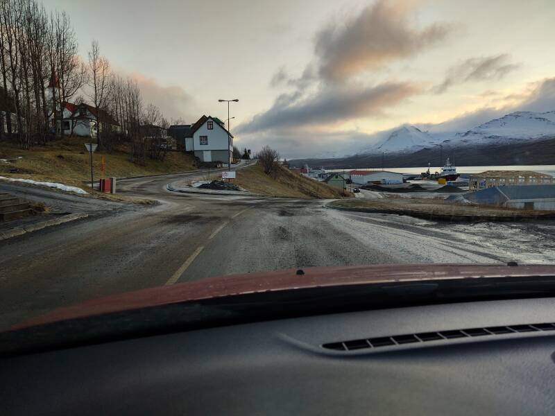
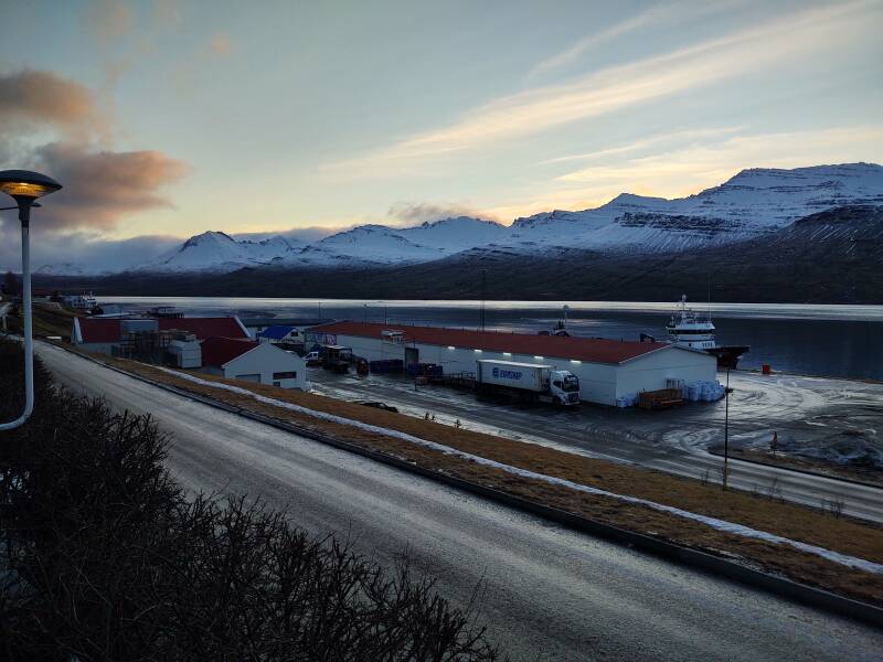
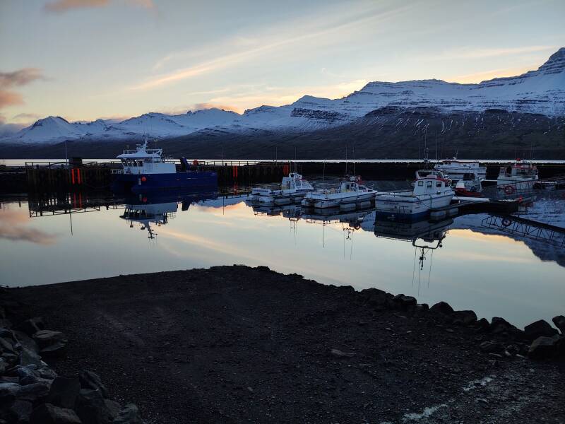
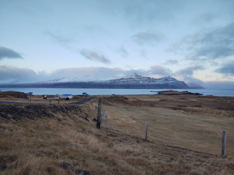
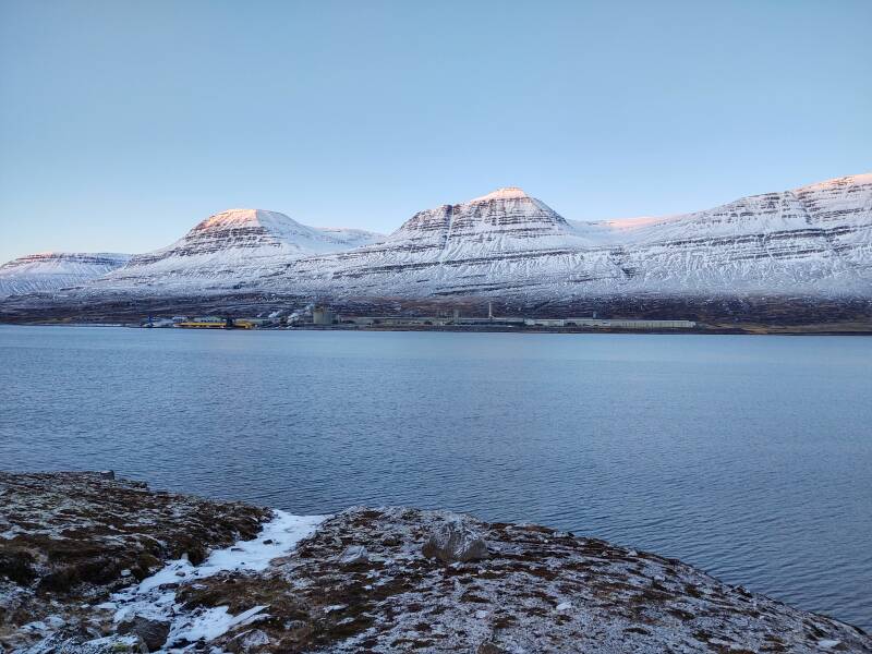
Fáskrúðsfjörður is home to fish farms.
The town by the same name is on the north shore near the head of the fjord, similar to Stöðvarfjörður. Confusingly similar, I found. All these towns with long, complex, Icelandic names at the back right corners of their same-name fjords. Maybe it was a Norse plan for confusing invaders. It was working.

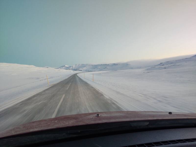
The scenery continued to be amazing.
And the moon continued to refuse to go down.
I pulled off near the bridge across the stream at the head of the fjord, and was immediately greeted by a friendly local guide.
Here's the view up the southwest glacial canyon at the head of Fáskrúðsfjörður fjord.
And up the glacial canyon to the west.
Fáskrúðsfjörður town has more going on.
Comparied to Stöðvarfjörður, with a population under 200, Fáskrúðsfjörður is over three times that large, with 662 people at the last census.
Fishing is still a viable business here, but it's not nearly what it once was.
It's a single stop to visit the Fáskrúðsfjörður Kjörbúðin grocery store, Vínbúðin government liquor store, and Pósturinn or the post office.
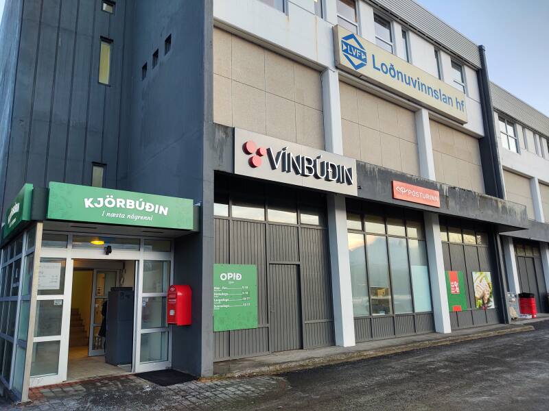
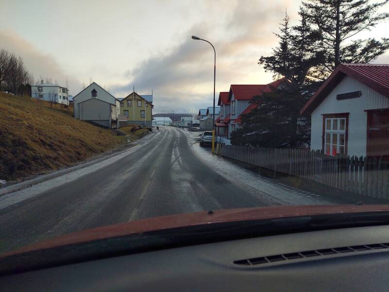
Wear your crampons. The parking lot and streets were sheets of ice.
The other long street through town was at least as icy.
I went down by the port to get lunch at the recommended Café Sumarlina, but it was closed. This closure was due to it being two days before Christmas, and not the pandemic or a local economic collapse.
I wanted to find the French cemetery before I left Fáskrúðsfjörður. There was a real connection to France continuing through to today, as the street signs all had the French equivalents in smaller text.
French fishing fleets were based here in the late 18th and early 20th century. French fishing in the area was at its peak from soon after 1880 until the start of World War I in 1914. French ships visited Fáskrúðsfjörður until the early 1930s. A former hospital founded to serve French fishermen is still standing, converted into a hotel.
The problem is that asking Google Maps to "search this area" for "French cemetery" tried to send me off to Texas, where there seems to be a cemetery for a family named "French" and it is closer to where I live than any alternatives.
The machines aren't quite ready to overthrow humanity just yet.
OK, fine, search for "cimitière marin français". Here it is. It's down by the water outside the east end of town.
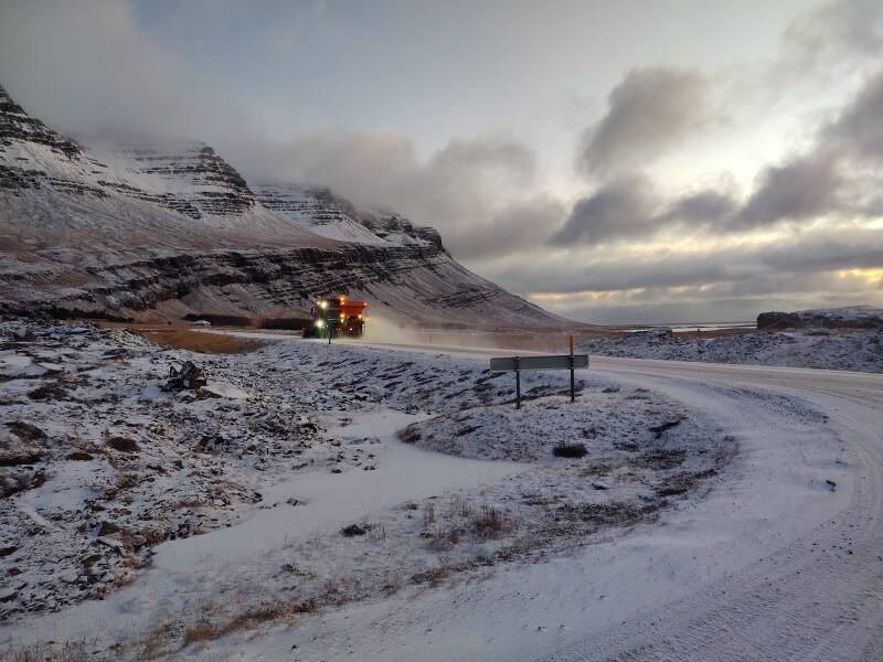
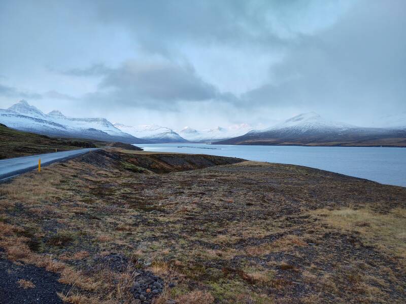
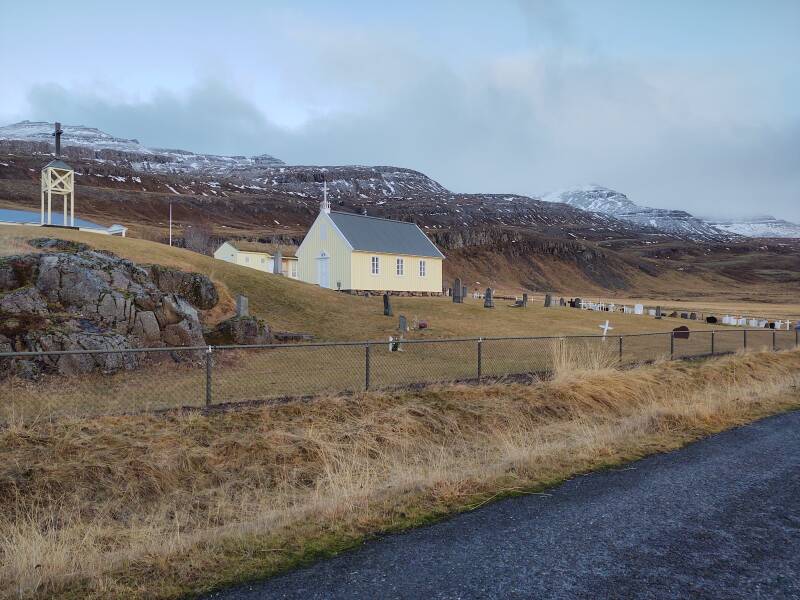
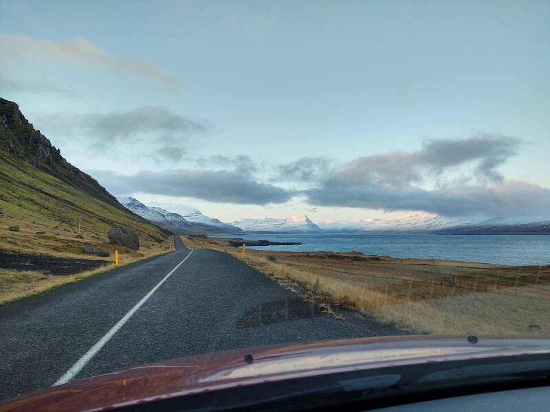
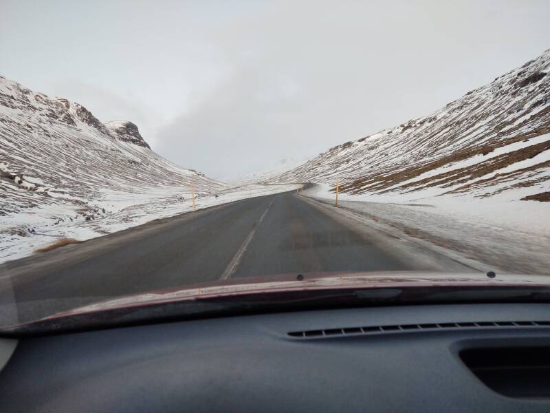
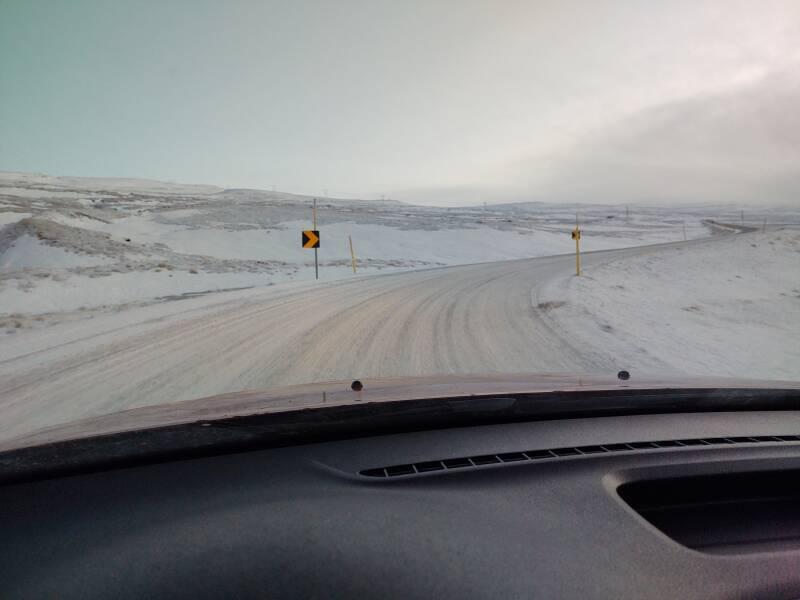
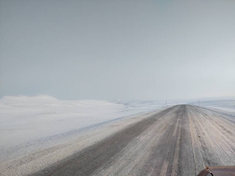
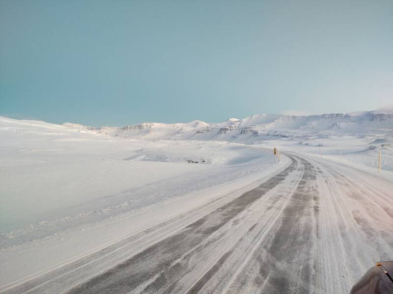
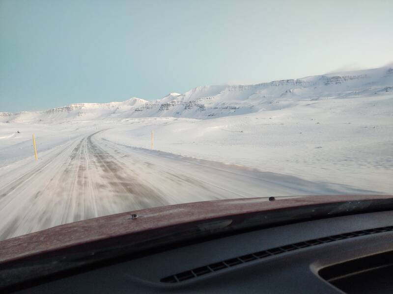
I continued on out of town on Road 955, to round one more peninsula and follow the south shore of one more fjord, the longest so far, Reyðarfjörður.
The 900-series roads are the bottom tier of the numbered Icelandic roads. When they're paved, they're fine. But they aren't always paved.
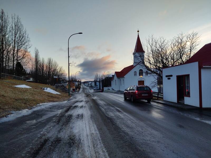
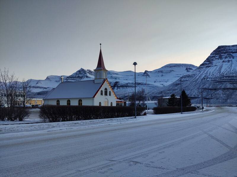
This road took me past a country church.
Then it took me off the end of the pavement.
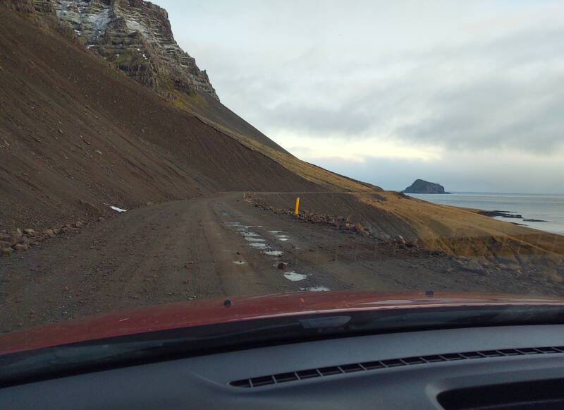
It's OK, I'm coming around the end of the peninsula, I can see the headland across the next fjord.
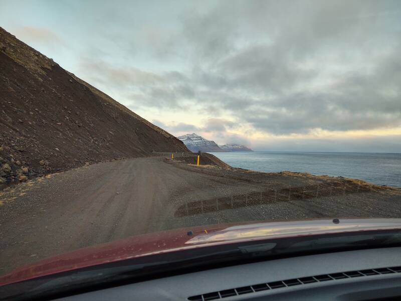
Yes, I'm definitely reaching the next fjord.
I have reached the Vattarnes area and the Vattarnesviti lighthouse. There has been a lighthouse here since 1912, but this one was built in 1957. It's on the southern point of the mouth of the Reyðarfjörður fjord.
Reyðarfjörður
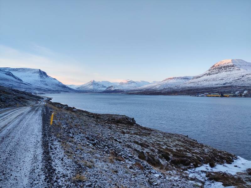
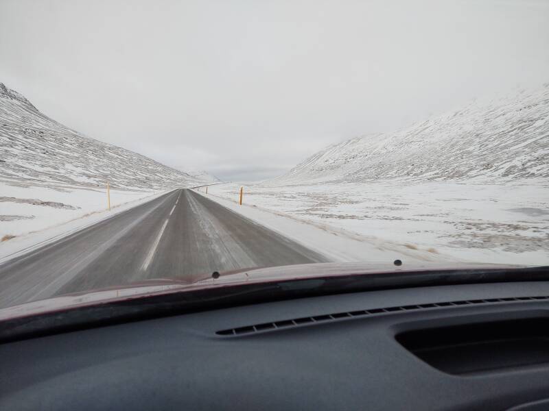
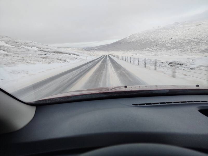
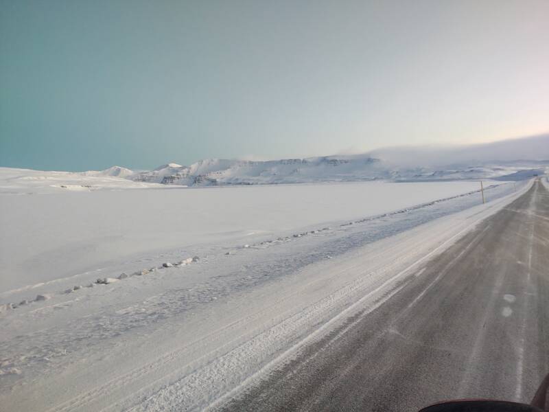
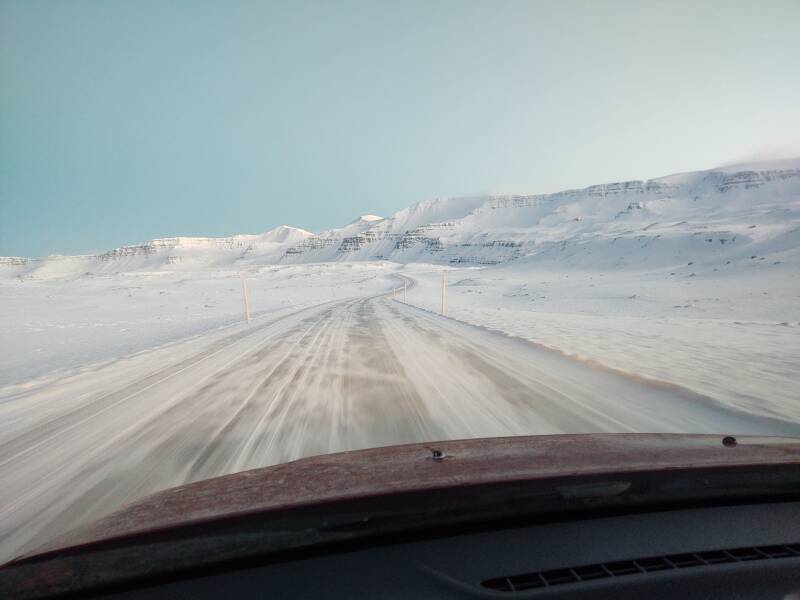
I continued west, up the Reyðarfjörður fjord. This is the largest fjord in Eastfjords, 30 kilometers long and 7 kilometers wide.
The road surface went back to a coating of icy pellets of snow, or snowy pellets of ice.
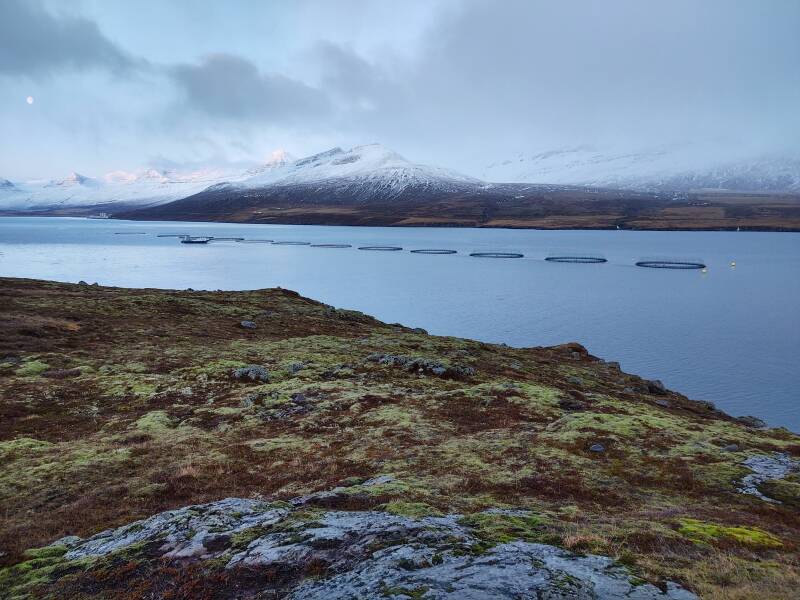
Bechtel constructed the Alcoa Fjarðaál aluminum smelting plant here in 2004–2007. Up to 2,800 construction workers, the majority from Poland, lived here during the construction.
The plant employs 450 people and produces 940 tons of aluminum each day. The new Kárahnjúkar Hydropower Plant was built to supply power to the smelter. It's the largest power plant in Iceland, with a capacity of 690 megawatts. It involves five dams creating three reservoirs, with their water sent through 73 km of tunnels and down a 420 m vertical penstock to an underground power station. Then a high-voltage transmission line carries the power 76 kilometers through the mountains to Reyðarfjörður. Plus, the fjord provides a deep harbor for shipping ore in and aluminum out.
You make aluminum from bauxite, its ore, which is a sedimentary rock and not found in basalt and other lavas. Bauxite is not mined in Iceland, which has no sedimentary rock. Iceland is all about the lava. Aluminum is the most abundant metallic element in the Earth's crust, but it's unevenly distributed.
Bauxite inTrinidad Bauxite in
France
Instead, bauxite is mined in places like Trinidad, Jamaica, Guinea, Brazil, and Australia. It is then shipped to smelters in places like Iceland, Norway, and Canada, where hydroelectric projects provide significantly cheaper electricity. Aluminum smelting requires a lot of electricity. Ingots of aluminum are sometimes referred to as "bars of electricity".
By 2021, Alcoa, the "Aluminum Company Of America", had just two smelting operations left in the U.S., one in Massena, New York, and the other in southern Indiana. Aluminum smelting has mostly left the U.S. But there's coal mining. There will always be coal mining.
Once the bauxite has been turned into aluminum ingots, those are shipped to factories in other countries such as the U.S., where it's turned into car engines, cans, and so on. That takes a lot of electricity, but not nearly as much as smelting the aluminum from ore to start with.
The hydroelectric project has caused immense environmental damage, but the town of Reyðarfjörður is thriving. Young people stay and work at the smelter instead of leaving. If Bruce Springsteen were Icelandic, well, we would be living in a very different universe. But he might write a song about this smelting plant and the economic tradeoffs.
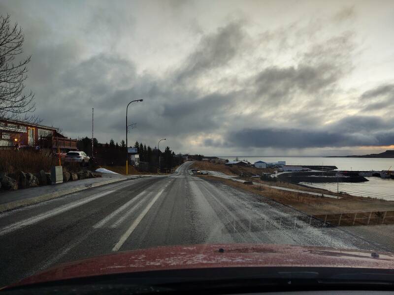
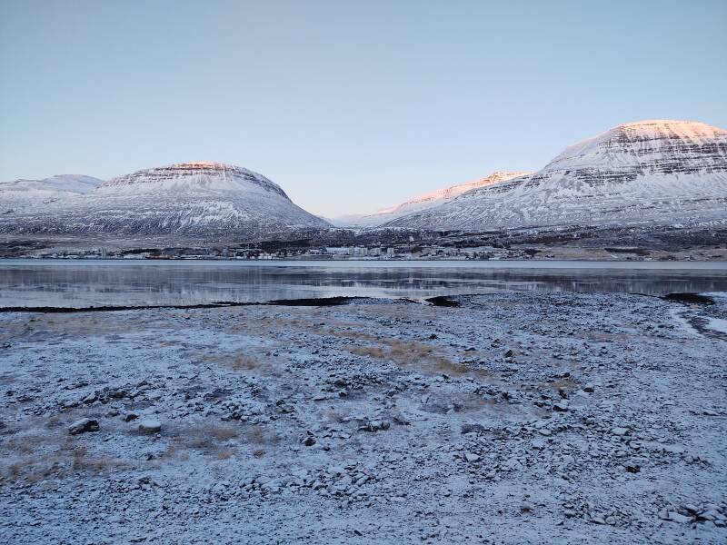
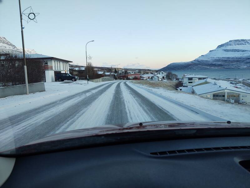
Time to continue, the town of Reyðarfjörður is visible in the distance. I was in and out of the car a lot, always carefully holding the door handle as instructed lest the Icelandic wind rip it clean off.
There's Reyðarfjörður town on the opposite shore.
Once in town, I saw that aluminum smelting is huge while fishing still hangs on. But the fishing is just a tiny fraction of what it once was.
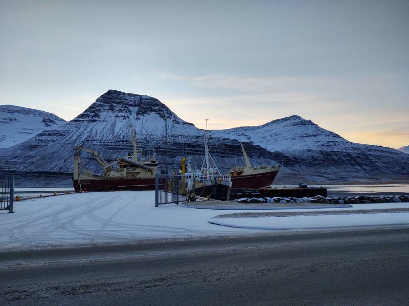
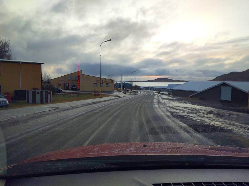
I drove through Reyðarfjörður town. It has a population of 1,350, making it huge compared to the other Eastfjords towns.
I stopped at the local supermarket to pick up a few more items. Then I checked my fuel level, as there's an N1 station, one of the prominent gasoline companies.
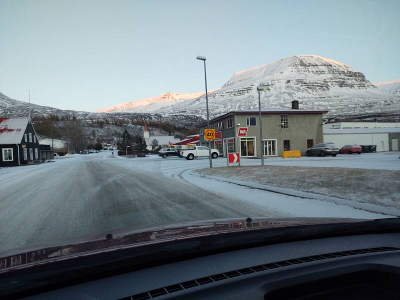
I had noticed well before this point that there is almost no advertising in Iceland, nor does there need to be. Businesses have a sign as a label, so you can figure out "Oh, there's the grocery store, and the gas station, and the guesthouse" and so on. But when you're driving between towns, there are no unneeded signs telling you that gasoline stations exist. If you need fuel, you will buy fuel, because you have to. It's either that, or you die on the tundra or the lava field. They don't spend advertising money to convince you to buy something that you already know that you need.
Because of its good harbor and strategic location, Reyðarfjörður became the second-largest Allied base in Iceland during World War II. Here, Reykjavík, and Akureyri hosted air bases used by the Norwegian–British No. 330 Squadron RNoAF, flying Northrop N-3PB bombers. They also flew Catalina flying boats from Akureyri. These planes were intended to protect convoys between the U.S., the U.K., and Murmansk in northern Russia from attacks by German submarines.
Striðsárasafnið is a museum at the former UK military facility on the slope above the town. But I had to keep moving as I wanted to get over the Fjarðarheiði mountain pass and into Seyðisfjörður before it got dark.
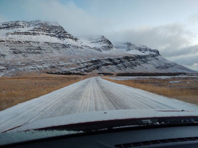
Inland to Egilsstaðir
I got back onto Highway 1 to drive inland, north to Egilsstaðir. The surrounding mountain peaks go up to about 970 meters.
Highway 1 leads up into a large glacial valley running from north to south, down to the fjord.
It's clearly a glacial valley with a broad U shape, instead of the narrow V of a river valley.
I reached the high point of the drive north to Egilsstaðir.
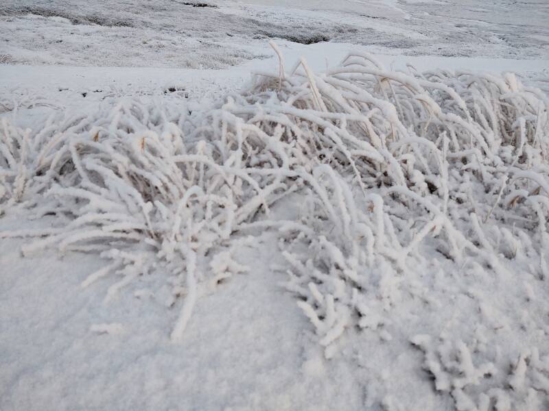
Rime ice forms when fog or low clouds freeze onto objects. I had left the wet ice behind. Through the rest of the trip temperatures would remain well below freezing, and the ice would mostly be fuzzy rime ice or hoar frost.
There's plenty of opportunity for rime ice to form here.
Over the Pass to Seyðisfjörður
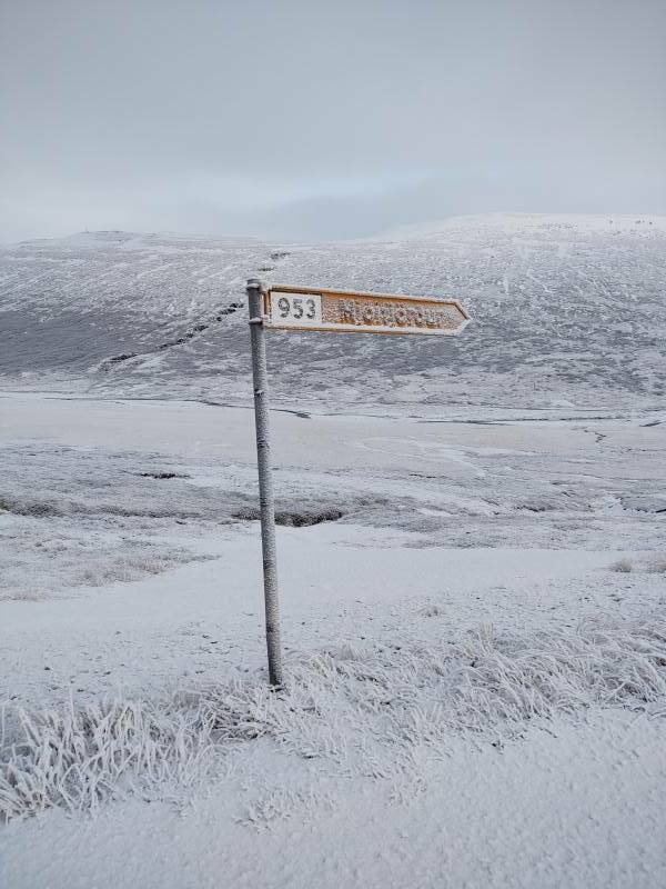
Egilsstaðir is the largest settlement of the Eastern Region, with just over 2,500 inhabitants. I turned off Highway 1 just before reaching town, to take Road 93 to Seyðisfjörður.
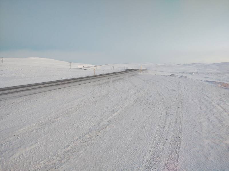
Road 93 soon became more completely covered with packed snow.
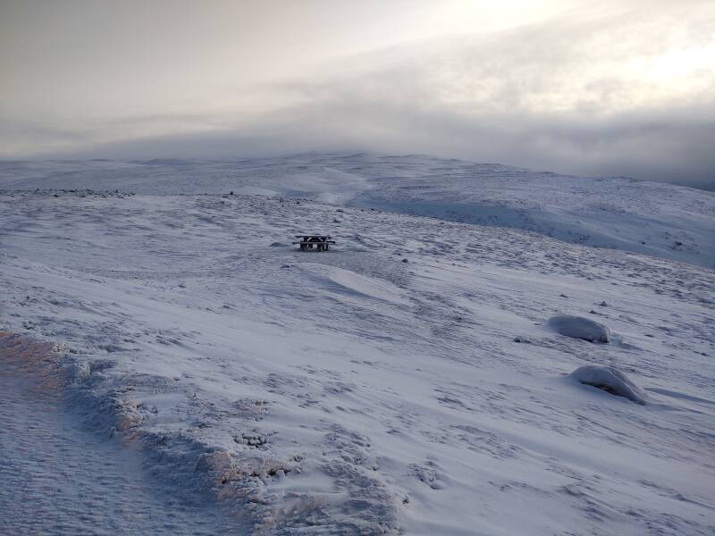
A lonely picnic table sits near a pull-off as you near the peak.
The electric power transmission line marches on across the peak, connecting Seyðisfjörður to the grid.
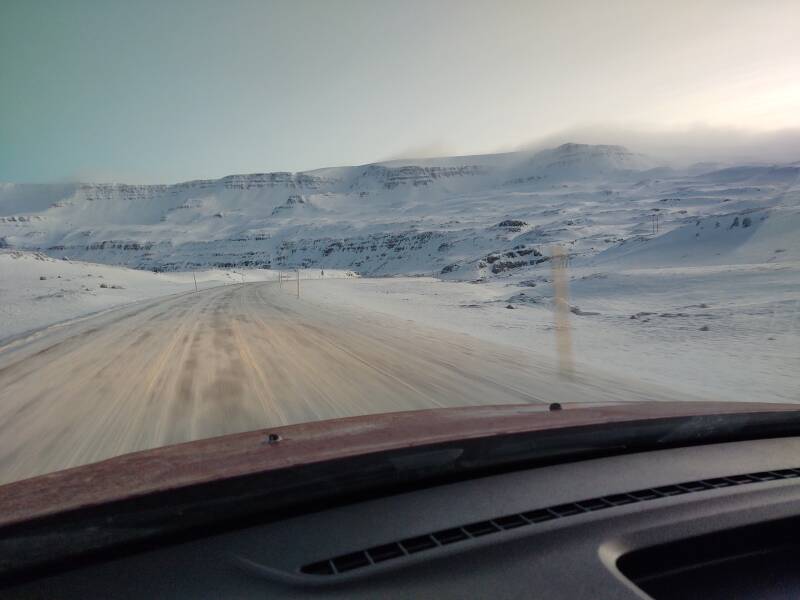
Above and below, I'm crossing the peak of Road 93's route. Per GPS, this was at 663 meters. That's not enormously high, but I had been at sea level recently, and would be again within about another 20 minutes.
I had a feeling that the road would descend through that canyon ahead and to the left. I was correct.
But first I had to get there. The road was nearly clear in a few places, but most of it was covered with packed snow.
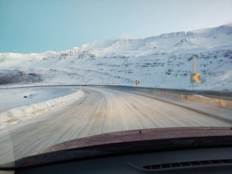
Ahead and to the left...
and to the right...
and then left and right and left and right...
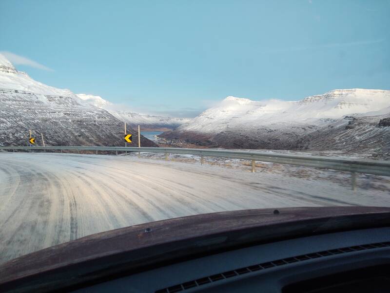
Then we started the serious descent.
And then more serious.
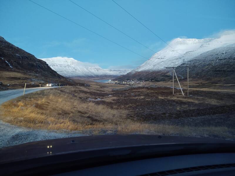
The end of the road came into view, Seyðisfjörður. The town lies between Mount Bjólfur (1085m) to the west and Mount Strandartindur (1010m) to the east.
Near the end we came down below the snow line.
Christmas in Seyðisfjörður
Christmas in Seyðisfjörður Skipping ahead: On to AkureyriI arrived on the evening of December 23rd, having stocked up at the grocery back in Fáskrúðsfjörður. I had planned the trip to be be in Iceland over the Winter Solstice, which meant that I would also be there over Christmas and New Year's. I set things up to be in reasonable locations over those multi-day shut-downs.
The next page shows what Seyðisfjörður is like.
If you want to skip ahead, my next overnight stop would be well to the west in Akureyri.
as in this;
Þ/þ is unvoiced,
as in thick.