Driving the Ring Road Around Iceland
Seyðisfjörður to Sauðárkrókur
All the regions of Iceland were under a
Yellow Alert for weather storms,
except for the region that was under an even worse Orange Alert.
The weather was very nice at the moment,
but it was going to get bad.
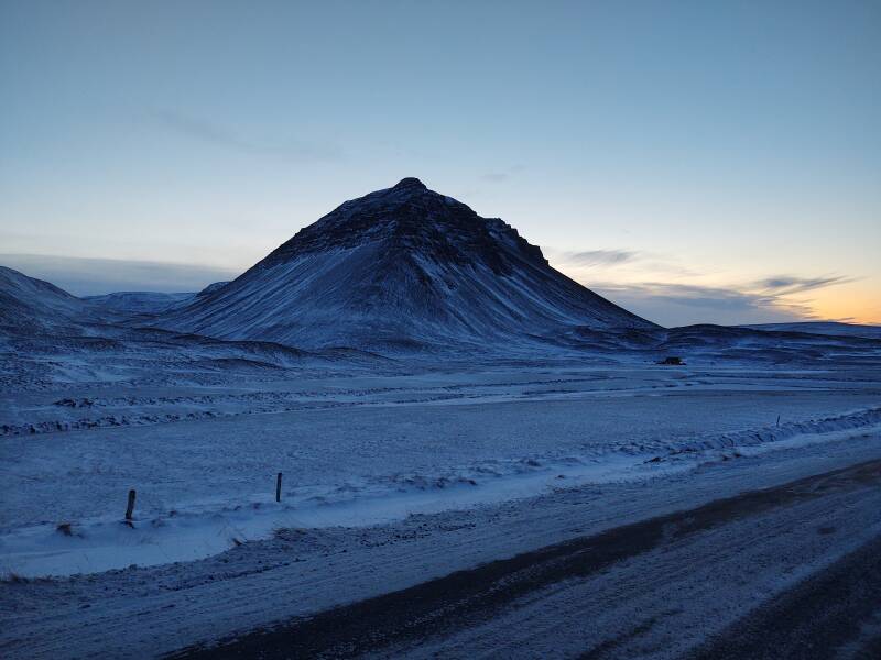
So, I traveled a half a day earlier than planned, leaving
Siglufjörður in the late afternoon.
The early sunset and long twilight of high latitudes
meant that I could make most of the trip in twilight.
I arrived safely in Sauðárkrókur.
By the next morning the weather had turned bad.
It remained hazardous into the next day, with more snowfall
and high winds blowing the powdery snow and
greatly reducing visibility.
If the Icelanders tell you "Don't travel",
then don't travel!
But while the weather is good, let's get going.
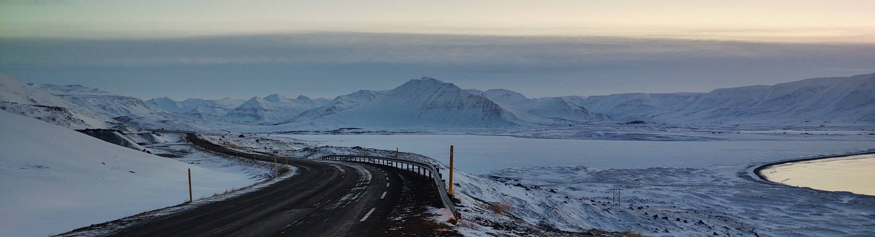
Back to Héðinsfjörður Fjord
I started by returning a short distance toward Ólafsfjörður for a little remedial tourism. On my way to Siglufjörður I had quickly passed through the Héðinsfjörður fjord, where the road was above ground for just 650 meters between the two sections of the Héðinsfjarðargöng tunnel.
Þormóður "Rammar" Haraldsson settled this area. He had fled Norway and come to Iceland after killing Gryður, Skjálgur's grandfather on Jaður, according to the Landnámabók describing the settlement of Iceland.
Þormóður found a like-minded adversary in Ólafur "Bekkur" Karlsson, another settler who lived in Ólafsfjörður. Ólafur was in Iceland because he had been exiled from Norway to Iceland for slaying Thorir the Black.
Both of these hotheads wanted Hvanndalir, a farm that was considered the most isolated in Iceland. By the end of the quarrel, Þormóður had killed sixteen people.
Things are now much more peaceful here.
There were several settlements or at least named farms
in this fjord, but they were abandoned through the 20th century:
Möðruvellir (deserted in 1903),
Ámá (deserted in 1927),
Vatnsendi (deserted in 1946),
Grundarkot (deserted in 1949), and
Vík (deserted in 1951)
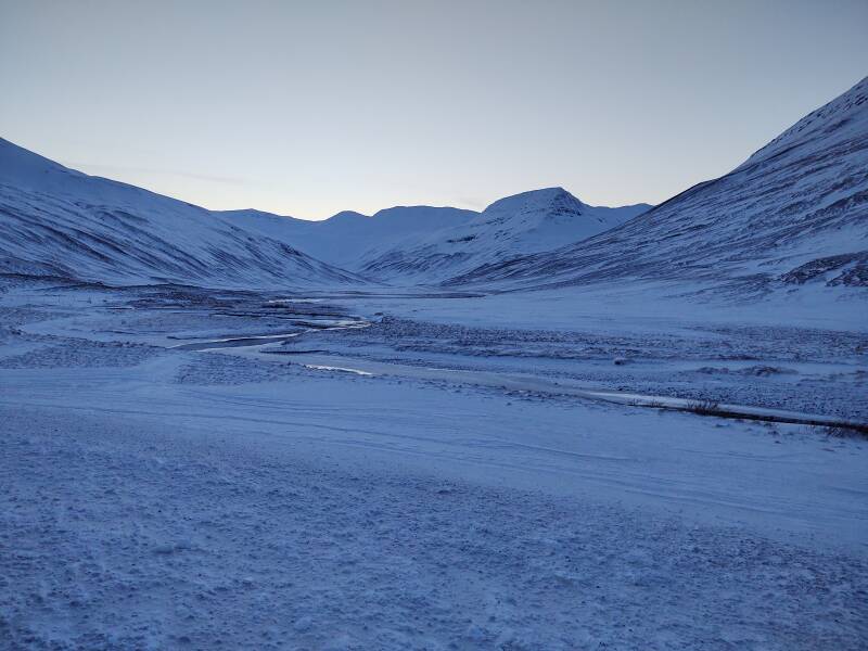
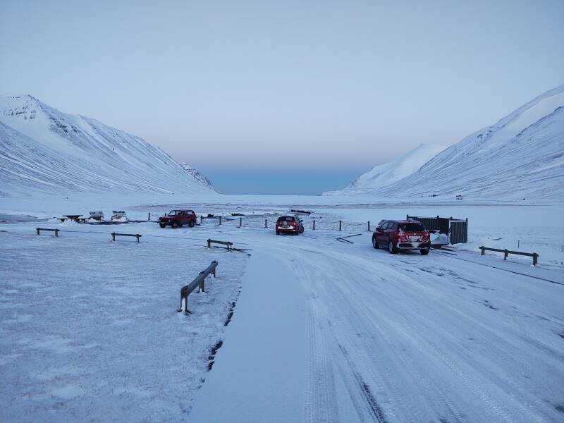
Now it's a popular area for cross-country skiing in the winter, and hiking and fishing in the summer. There's a parking area along the short highway crossing it. Here's the view looking south from the road, up the valley.
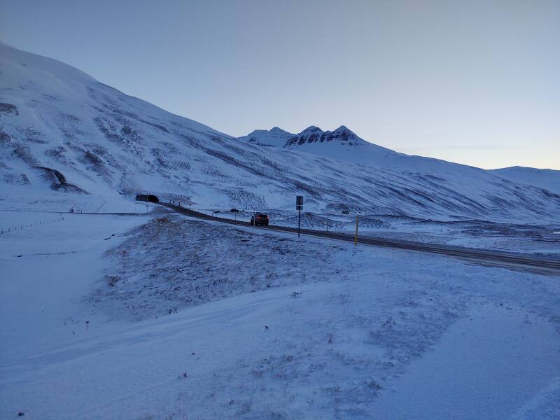
Here's the tunnel southeast toward Ólafsfjörður and beyond that to Dalvík and Akureyri.
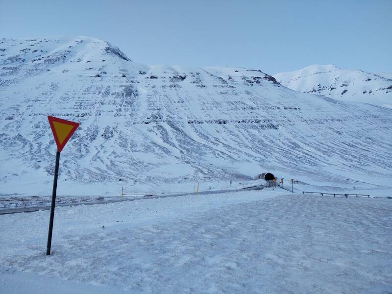
And the tunnel northwest toward Siglufjörður.
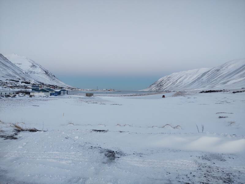
And, the view north out the opening of the fjord toward the Greenland Sea. These pictures were taken around 14:50, soon after sunset. You can see the pink band between the lighter atmosphere in sunlight above it, and that in the Earth's shadow below it.
There are two small structures in the fjord below the highway, one on either side. The one on our right is easier to make out. The one on the left appears as a tiny dot above the left-most vehicle in this 800×600 picture. Two people walking to it appear as two tiny dots above the picnic table further to left.
Iceland's deadliest plane crash happened here in May 1947. A Douglas C-47 or Dakota operated by Flugfélag Ísland was en route from Reykjavík to Melgerðismelar, south of Akureyri. The crew apparently became lost in heavy fog and crashed into the steep slope just beyond what's visible from here on the left side of the fjord's opening. All 21 passengers and the four crew members were killed. Placards at the parking lot explain the history with a map, and show a picture of a monument being erected at the crash site in 1997.
Back Through Siglufjörður
I stopped to see the Siglufjörður airport. That's its control tower and a hanger at left. A dark truck is on the near end of the runway, near the center of picture.
Yes, the runway points toward the mountains forming the east side of the fjord. The direction behind me is worse, it's a closer and steeper mountain with the local ski slopes.
A snow-covered runway in a glacial valley, it reminded me of Where Eagles Dare.
Around the Point
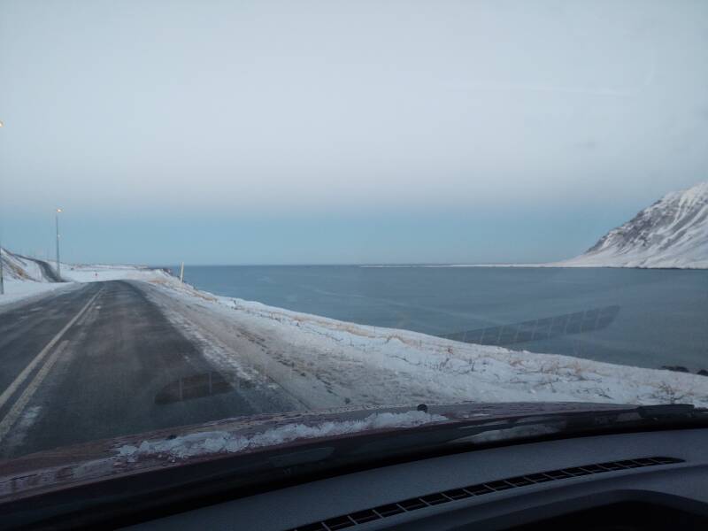
I took Road 76 through town and continued on to the north. I soon had a good view of Siglufjörður's opening to the Greenland Sea.
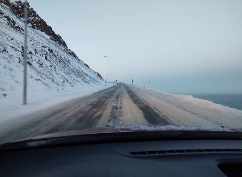
Once again I was on a road that looked more and more ominous as it neared the end of a peninsula.
And once again, a tunnel opening appeared.
I saw a sign like this: ↓↑
Class, what does that mean? Anyone?
Just as it did at the last single-lane tunnel, I would not have right of way. I would have to watch for oncoming traffic and pull off into a niche and let them past.
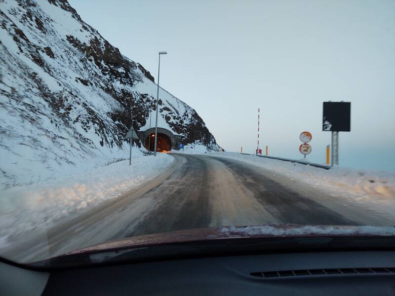
This is the 800-meter-long Strákagöng, the göng or tunnel through the mountain Stráki.
A horse trail had been improved enough in 1940 to allow some motor vehicles to get over a pass to Siglufjörður. Then, in 1946, a 15-kilometer road was built over the 600-meter pass at Siglufjarðarskarð. But that road was impassible for much of the year.
This tunnel was opened in 1967, creating the first year-round road connection to Siglufjörður.
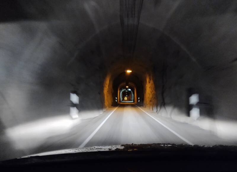
I exited the tunnel at 66.18533 °N, the furthest north I have ever been on the ground. I have been further north onboard airliners, but never this far north on the ground.
In the distance beyond the orange lighted tunnel opening is the snow-covered eastern point at the mouth of the Siglufjörður fjord.
There's a long thin point, or nes in Old Norse. You see nes in placenames in Iceland and also in Orkney off the northern coast of Scotland.
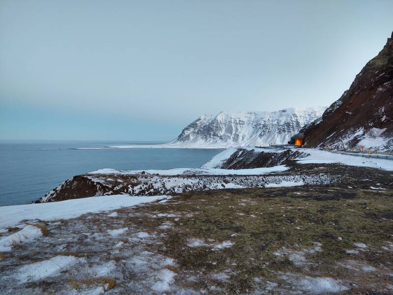
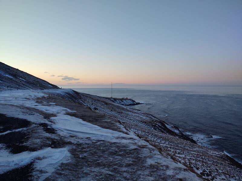
The view to the west is clear to the horizon. There's a lighthouse below us, down there on a small point.
This is Stráki, the rugged mountain forming the northern tip of this peninsula.
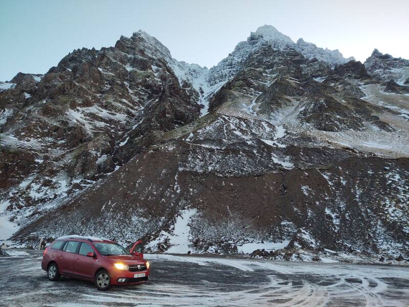
I said that the weather that day was nice. Look, it was so nice that I could casually leave my car door hanging open without worrying that the vicious Icelandic wind would immediately tear it off! The car rental company had given me dire warnings about being careful when opening the doors. That came right after the dire warnings about blizzards and sand storms, which Iceland has in the broad sandy outwash plains below glaciers.
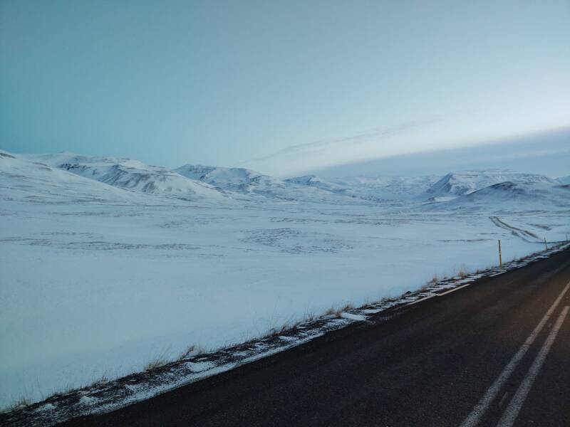
Down the Coast
Road 76 is kind of rough for the first ten to fifteen kilometers south from the tunnel. It is built along the steep faces of mountains and parts of it can slip away from time to time. Hopefully just small sections, none when you or anyone else is on them. As my innkeeper in Sauðárkrókur had told me, this stretch of road is "often closed due to avalanches."
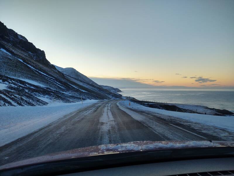
The result is that they don't put in a lot of effort on things like a white stripe along the edge of the pavement. Or guardrails.
This would be an unpleasant drive at night, even in good weather. The prediction for the coming 24 hours, which turned out to be quite accurate, called for snow with winds gusting to at least 83 kph.
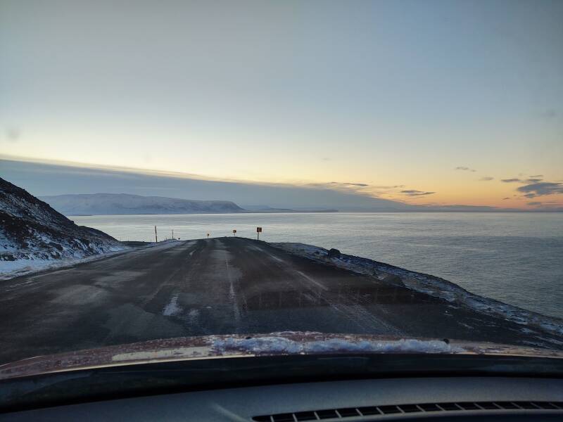
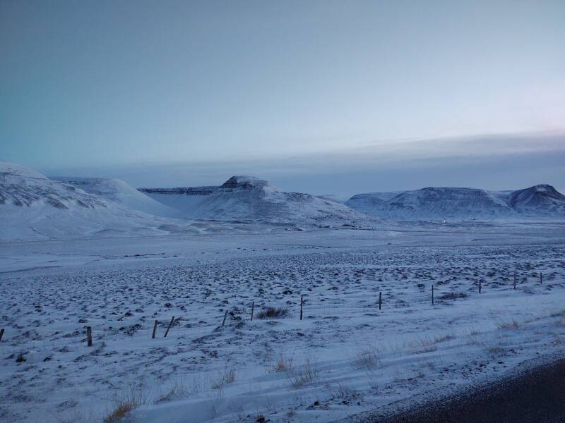
The road improved as it turned into the Miklavatn inlet on the east coast of the Tröllaskagi peninsula.
Look, stripes! Guardrails!
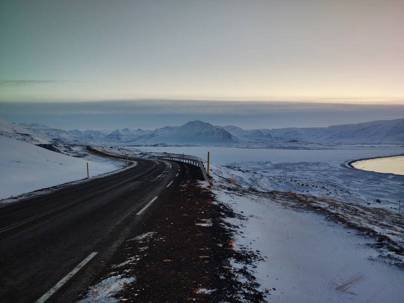
And in the distance, even a few homes.
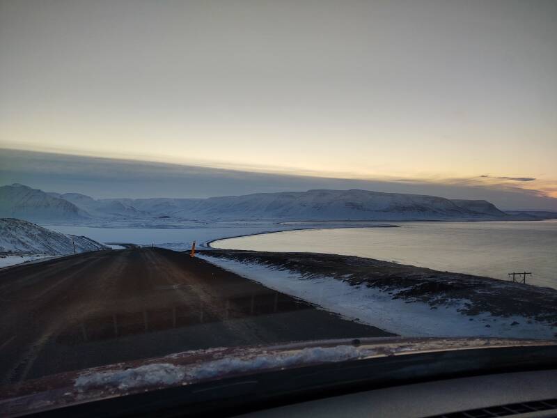
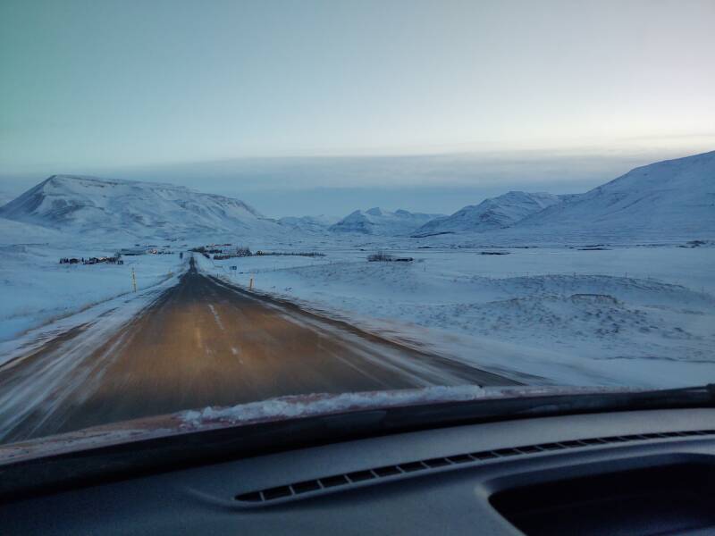
The grand scale of what you're driving through and looking at in Iceland means that you might be seeing homes or an oncoming vehicle one, or three, or five kilometers away.
They're just tiny sources of light, giving them a distinctly glittering appearance. It's for the same reason that the stars twinkle but the planets don't. Stars are truly point sources of light while planets are area sources. Not large areas, but still, they're areas.
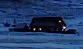
The small image at right is a 170×100 pixel crop from the original of the below image. The house is just below the right slope of the mountain. To the eye, the lights were visible as tiny points. In the 4000×3000 original image, they're there. But after downsampling the image to 800×600 for web display, only the brightest one remains.
The twilight held on for a long time.
Into Sauðárkrókur
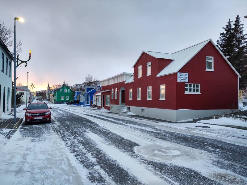
Guesthouses at Booking.comThe last twenty minutes of the drive into Sauðárkrókur was through full darkness. By then the road was marked well and mostly straight.
I stayed at the Grand-Inn Bar and Bed, the dark red building on the right, as seen two days later. I had the first floor room on the nearest corner, with two large windows looking on the street and an array of small windows looking out the end of the building from over the head of the bed.
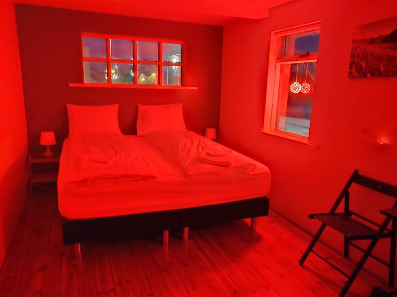
The Christmas lights gave the room a lurid look, which I very much liked. There was a boring ceiling light providing boring white light, which I made a point of never using.
Exploring Tröllaskagi near Sauðárkrókur
Next: Exploring Tröllaskagi near Sauðárkrókur Skipping ahead: On to ReykjavíkNow I would explore Tröllaskagi near Sauðárkrókur. There's a wonderful turf church to visit near Hofsós, and a historical and academic site at Hólar. Plus, I saw the best aurora of the entire trip.
Or, if you want to skip ahead, I would next drive to Reykjavik to see the classic sights of the Golden Circle and also visit the Settlement Center in Borgarnes.
as in this;
Þ/þ is unvoiced,
as in thick.