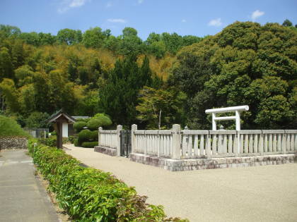
Arriving in Takamatsu
Takamatsu
I was on my second independent trip to Japan, traveling
from Tōkyō to the southwest as far as Kyūshū,
much closer to Korea than it is to Tōkyō.
I had been in
Ise,
and then a return visit to
Kyōto.
From there I would continue southwest to
Shikoku,
the fourth-largest island of the Japanese archipelago.
It's 225 km long, 50 to 150 km wide.
Shikoku is mountainous, of course, but it's
the largest Japanese island without an active volcano.
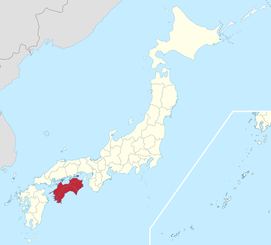
I would be staying in Takamatsu, a port city on the north coast of the island. It's on the Seto Inland Sea between Shikoku and the largest island, Honshū.
After a few days there, I would take a ferry north to Naoshima, the Art Island in the Inland Sea.
But first I had to get there.
By Train to Kobe
I was staying at K's House in Kyōto. It was a short walk from there to the futuristic Kyōto station.
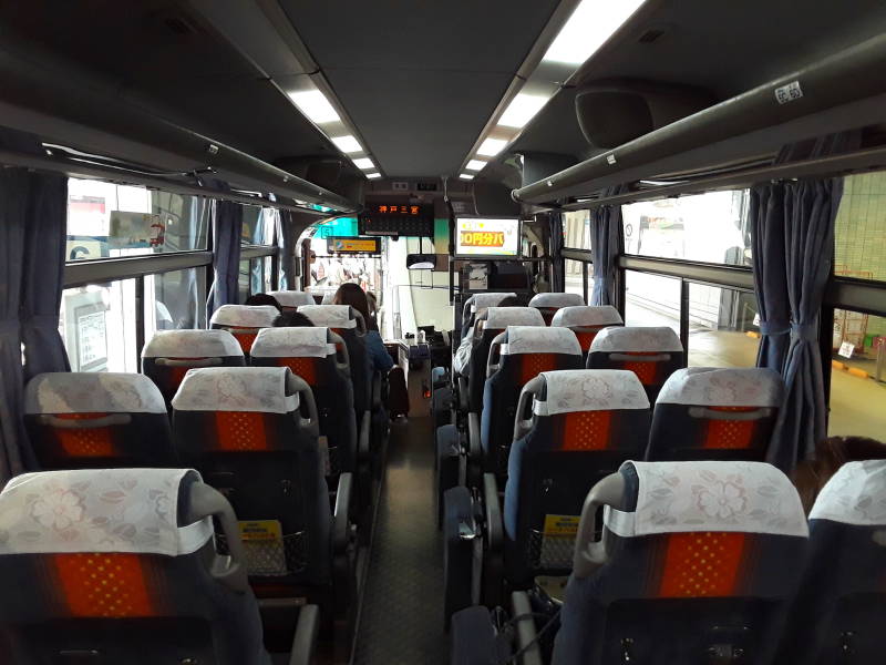
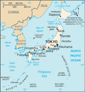
I would take a Rapid train through Ōsaka to Kobe, and continue from there by ferry or bus. It ended up being by bus, across the world's longest suspension bridge to Awaji Island, then another long bridge to Shikoku. See the route in the map above.
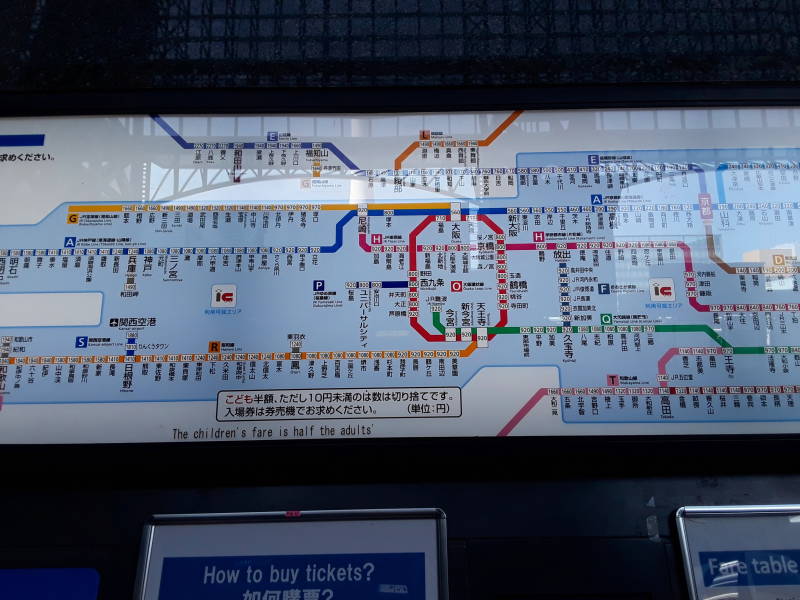
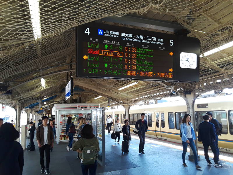
At the Osaka Station I found my route to Kobe on the map. It's the blue line marked A. That lets me look up the cost, and I can buy my own tickets on the machines directly below.
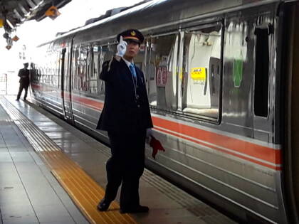
With my ticket, I can proceed through the gates and find my way to my platform. The Kyōto station is large, there are many platforms. But it's pretty easy to find your way around.
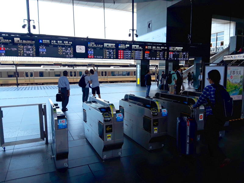
There's my train on the schedule, at 9:29. Uh-oh, it's changed to track six. Upstairs, and across to the staircase down to platforms 6 and 7.
By Bus to Takamatsu
Ferries run between Kobe and Takamatsu. But you would have to get up quite early in Kyōto to catch the first one, or wait around in Kobe and get into Takamatsu up in the evening.
That's OK, I'll take the bus. Three major bridge projects in the 1980s and 1990s joined Honshū to Shikoku by road, plus rail on one of the three series of bridges.
The easternmost bridge system, from close to Kobe to Shikoku, has three suspension bridges. The first one you cross out of Kobe, the Akashi Kaikyō Bridge, is the world's longest suspension bridge. It's 3,911 meters long overall, taking you over the Akashi strait to Awaji island.
Its central span is 1,991 meters long, between towers extending 283 meters above the sea level. Then there are spans of 960 meters between each tower and land.
This is Japan, so the bridge is well designed. It has a dual-hinged stiffening girder system allowing it to withstand winds up to 286 km/h. Tuned mass dampers designed for the structure's resonance frequency should allow it to withstand earthquakes up to Mw 8.5. The tidal currents between the Inland Sea and the Pacific reach speeds above 7 knots, the bridge is also designed to withstand that.
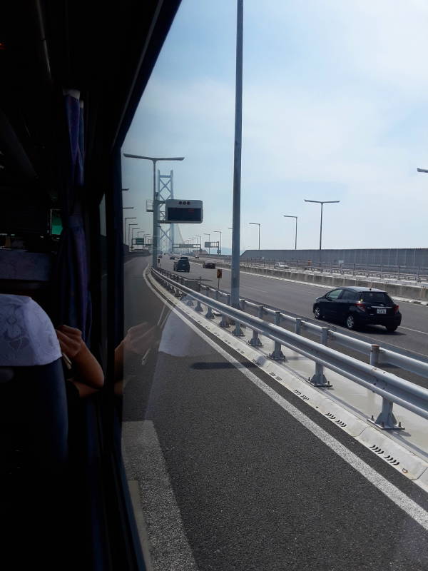
The express highway runs the length of Awaji island, where the Ōnaruto suspension bridge crosses the Naruto strait to Shikoku island. This second bridge has a main span of 876 meters.
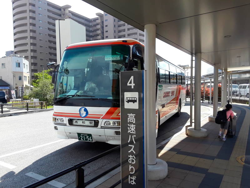
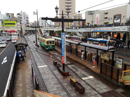
I have arrived in Takamatsu! The bus station is part of the train station, which is just a couple of blocks from the ferry port.
From the Station to the Guesthouse
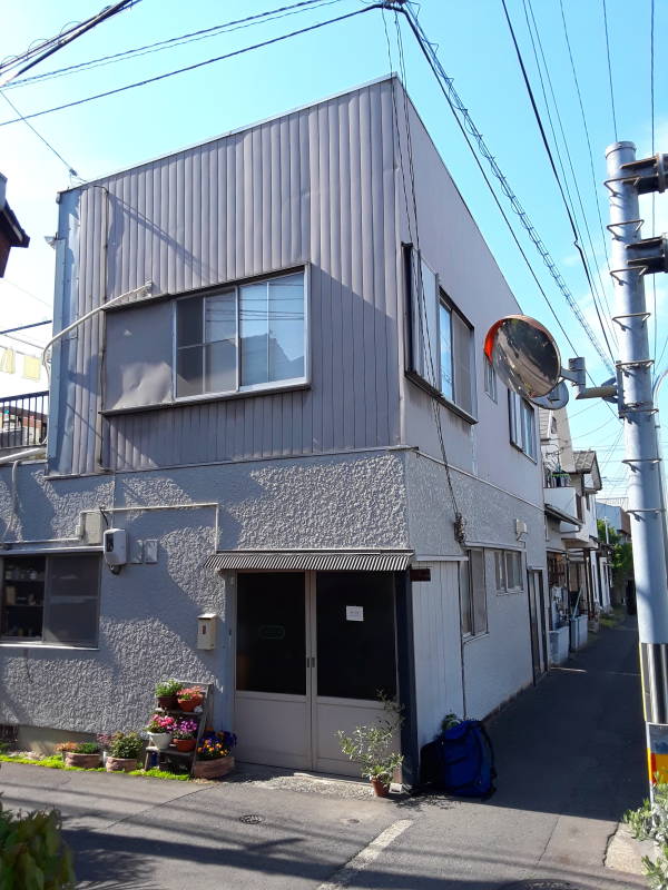
Chottoco-maguesthouse
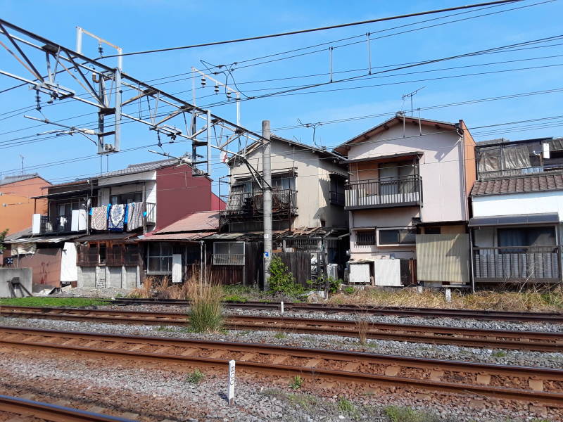
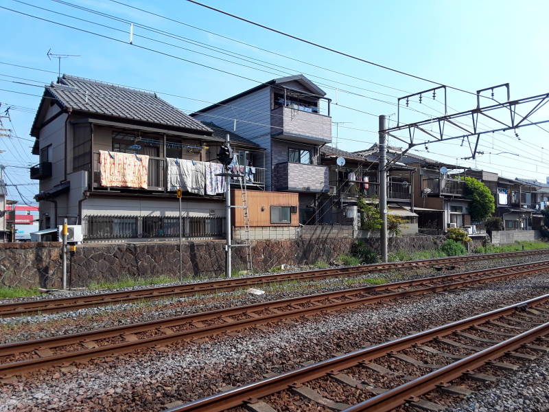
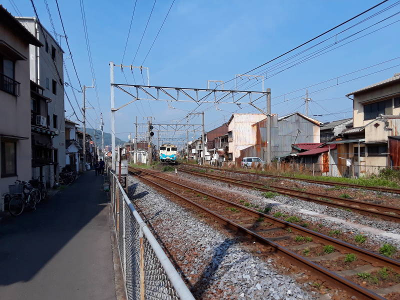
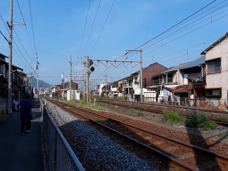
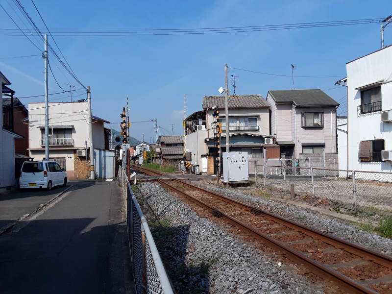
I had reserved a bed at the Chottoco-ma guesthouse. It's a fairly short walk from the station. Leave the station past where the inter-city buses park, and continue along the rail line.
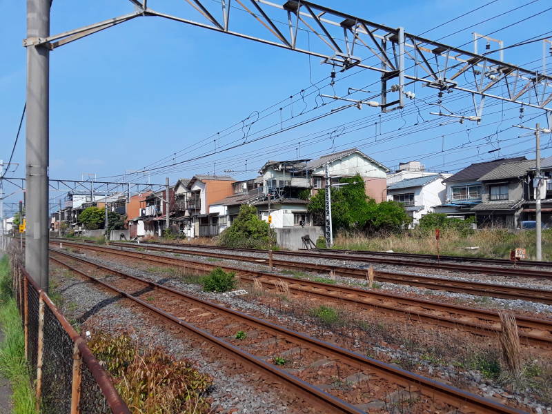
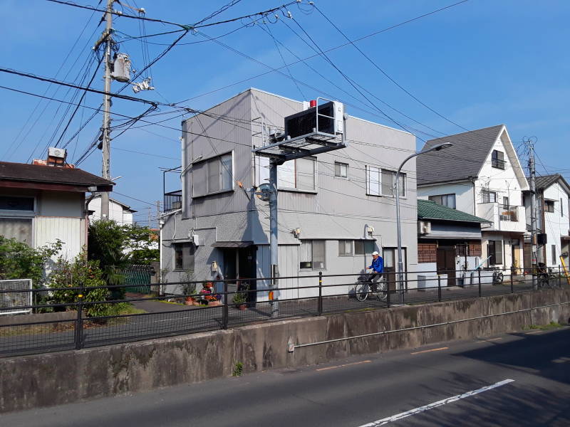
I was told that while Takamatsu was damaged by bombing during World War II, it wasn't destroyed. Some of the houses along the rail line were built before the war.
To quote the mission report of the 58th Bombardment Wing of the 21st Bomber Command:
A mission on July 3, 1945, near the end of the war, involved 128 B-29 aircraft of the 58th Bombardment Wing of the 21st Bomber Command, based on Tinian.
They dropped over 800 tons of incendiary bombs on the city, two groups carrying M47A2 incendiary bombs and two groups carrying clusters containing M69 bombs, fuzed to open 5,000 feet above the target.
The damage assessment reported that the raid had destroyed 78% of the built-up areas. The aircraft plant was 100% destroyed, the iron works 25% destroyed, and no visible damage to the rail ferry terminal, repair shops, and yards; the chemical plant; or the seaplane base. About half the medium and small industrial plants were destroyed, along with both military barracks.
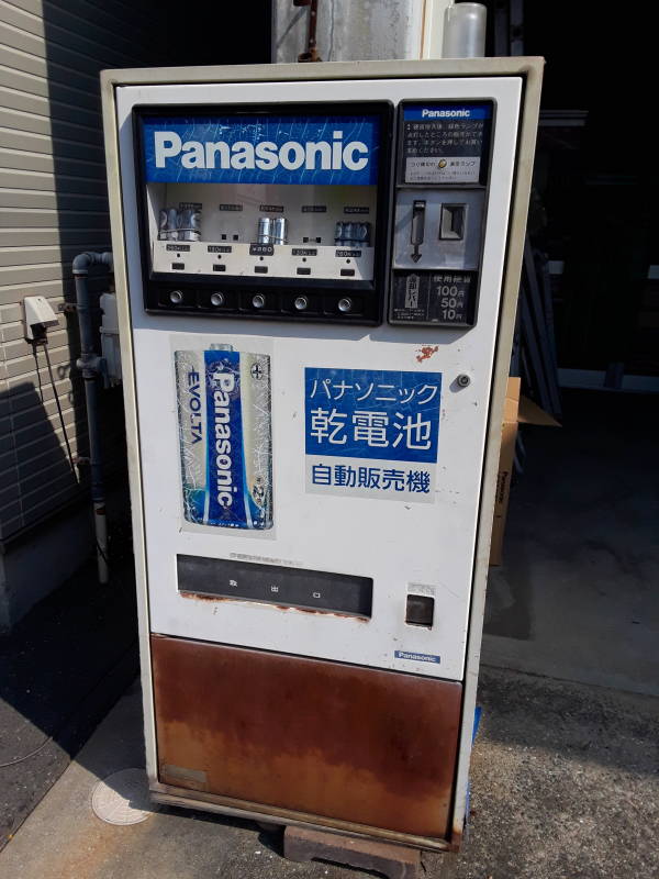
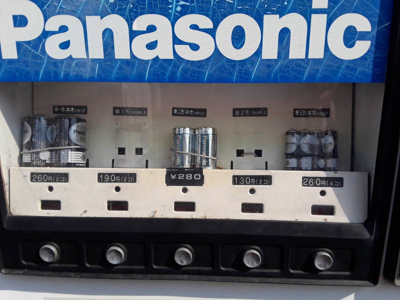
This is Japan, so there are vending machines for everything. Here's one selling batteries along the walk from the train station to the guesthouse.
At the Guesthouse
The grey building is the Chottoco-ma guesthouse.
I set my pack down by the door, and sat down on a low wall across the narrow lane. Like many places I stayed in Japan, the proprietors aren't tied down around the clock. Check-in is mid to late afternoon. But my host arrived about 15 minutes after I did.
It worked out well that I had taken my time getting out of Kyōto and onto a train and a bus.
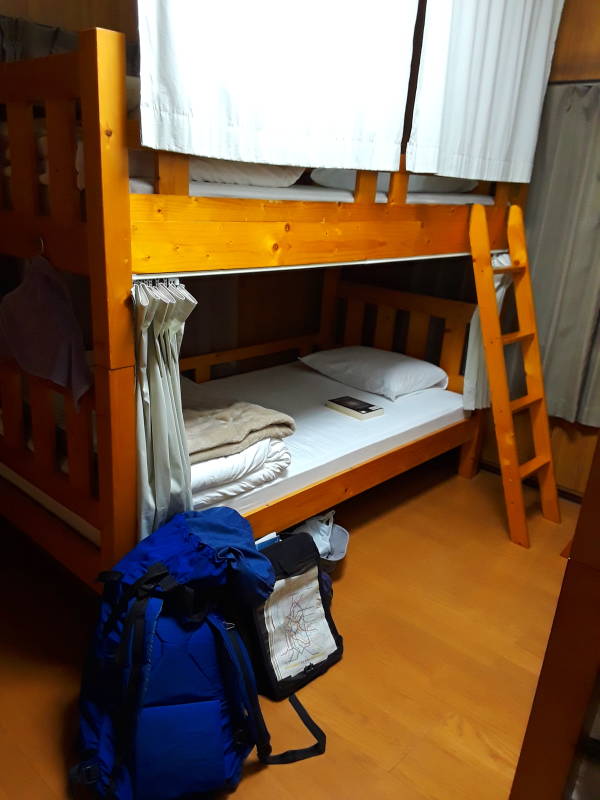
The host family lives on the ground floor. There were three guest rooms upstairs, with one to four beds each. I was the only guest staying there during my time in Takamatsu.
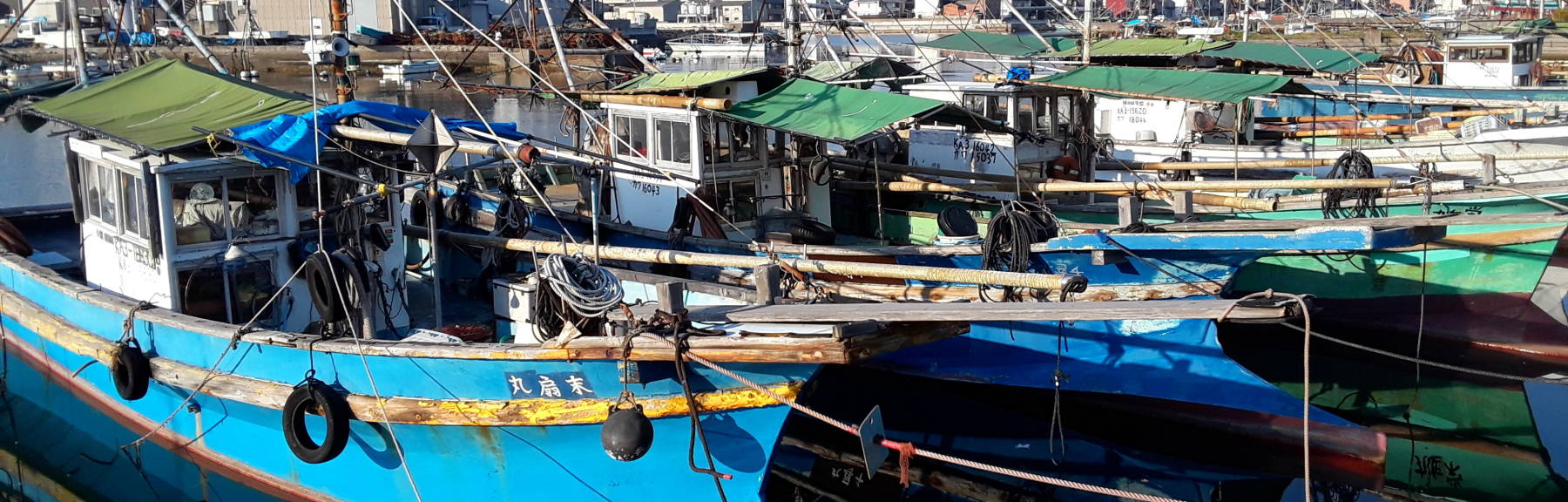
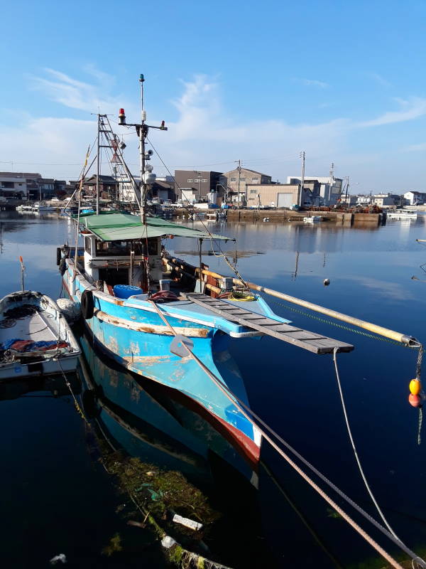
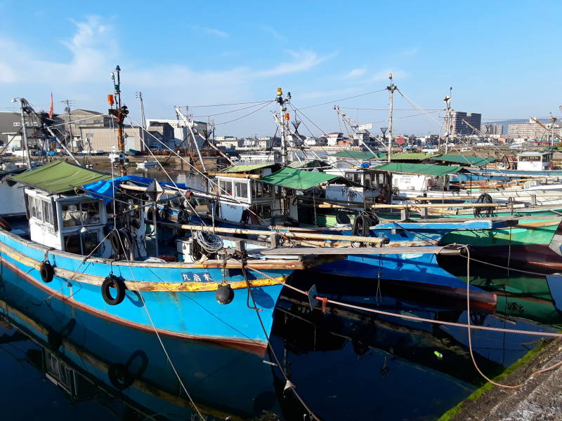
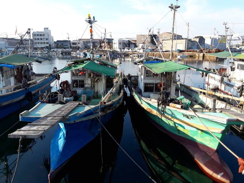
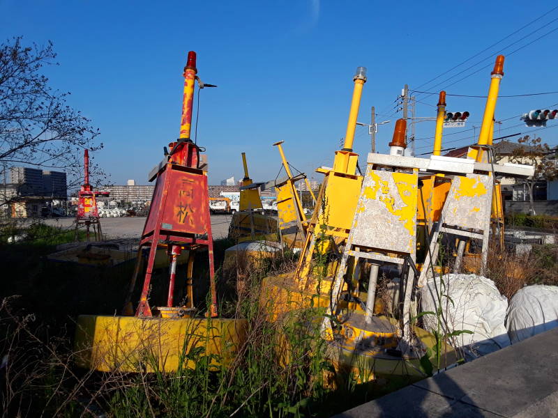
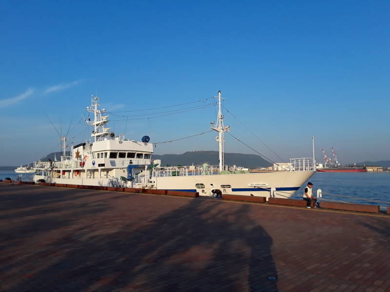
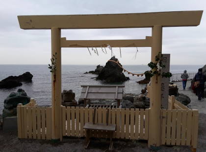
The Fishing Harbor
The fishing harbor was nearby, just a few blocks to the north.
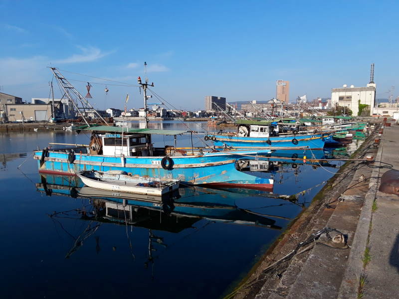
Many working boats.
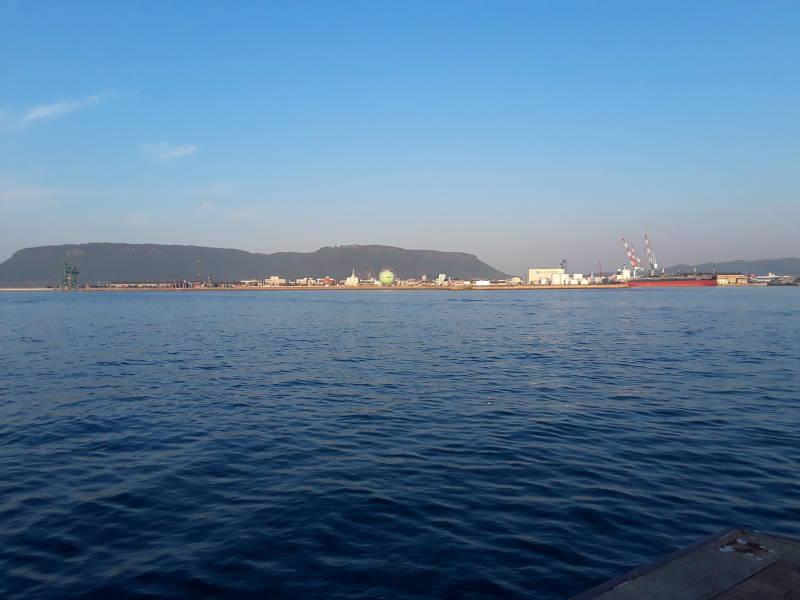
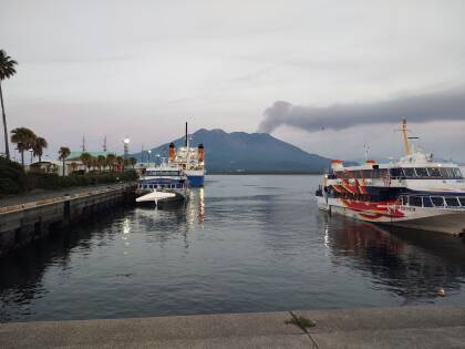
The Port
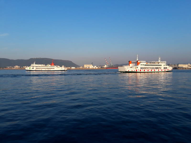
In addition to the fishing harbor, Takamatsu has busy ferry and shipping ports. Ferries run to many locations around the Seto Inland Sea. The commercial port moves agricultural and fishing products out of Takamatsu.
The Seto Inland Sea is about 450 km long from east to west, and 15 to 55 km wide from north to south. During the Edo period, when the Shōgun really controlled Japan and the Emperor was a figurehead, this sea was the busiest transport channel in or around Japan. This led to Osaka becoming an economic center of Japan.
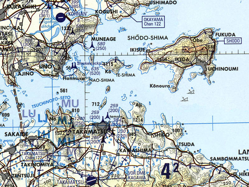
Portion of Tactical Pilotage Chart G-11D from the Perry Castañeda Library Map Collection at the University of Texas.
After the Meiji Restoration of 1868, when the Shōgun fell and the Emperor returned to power, coastal cities around the Seto Inland Sea became industrialized. Kure became one of the headquarters of the Japanese Imperial Navy. Osaka, Kobe, and Hiroshima became major industrial centers. Steel production, vehicle manufacturing, ship construction, and textiles were major products. Since the 1960s, oil refining and chemical production have increased. All the industry, and especially the oil and chemicals, led to heavy pollution.
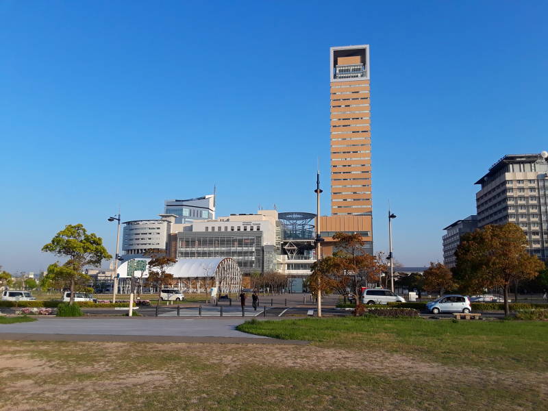
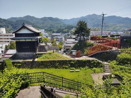
The tallest buildings in Takamatsu are in the Sunport Takamatsu area at the waterfront. The Symbol Tower is the tallest, then the JR Clement Hotel.
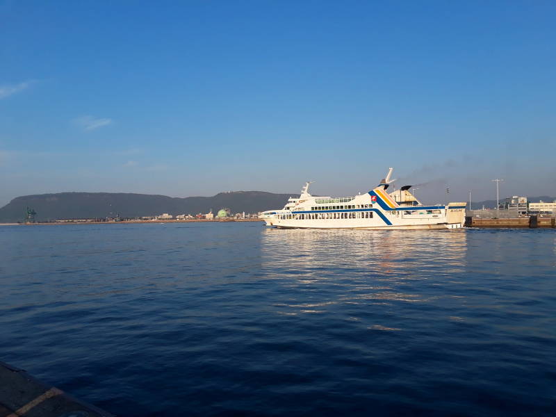
A ferry is leaving. In the distance is the shipping port, and the peninsula of Yashima is beyond that.
The entire Japanese archipelago is volcanic. During the last ice age, the sea level was significantly lower than it is today, and this area was a low dry basin with smaller peaks than the ranges to its north and south, on the now-separated Honshū and Shikoku islands.
The sea level rose, and eventually flooded into the low basin. The result was almost 3,000 islands in the Seto Inland Sea.
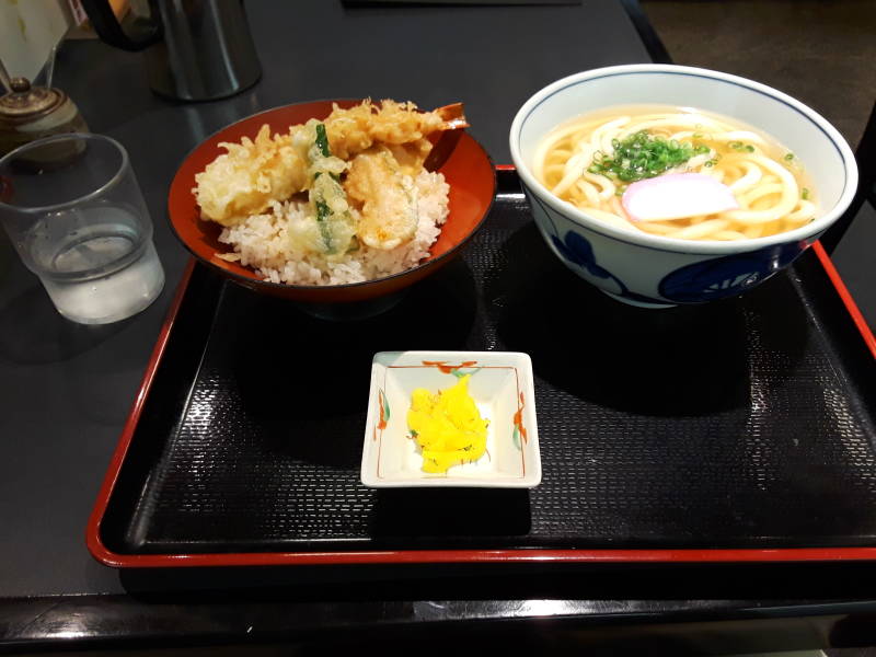
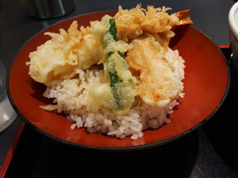
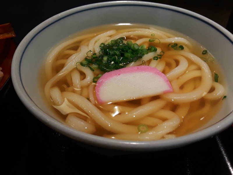
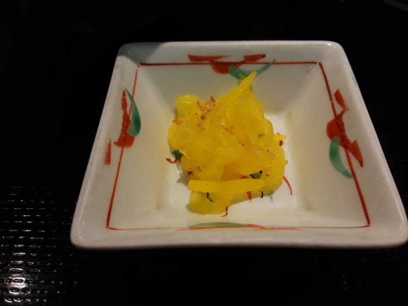
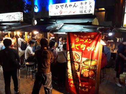
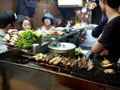
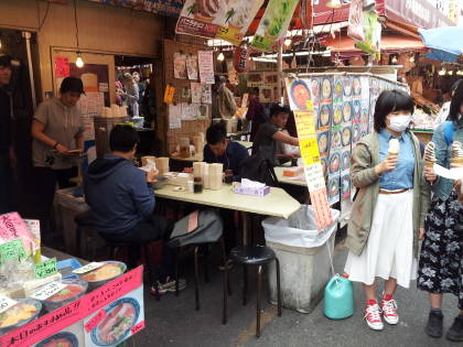
Time for Dinner
Seafood is, of course, prominent on local menus.
Udon noodles are a specialty across Shikoku, with local sub-specialties.
The above is specific to Takamatsu. Or maybe you want to explore other places in Japan.
Amazon 1839059796
Amazon 1640975438
