Kagoshima and Sakurajima
Arriving in Kagoshima
Japan is a volcanic archipelago,
on the "Ring of Fire" around the Pacific basin
where volcanos erupt from tectonic plate boundaries.
Kyūshū,
the southwestern-most of the four largest islands,
has two major active volcanos —
Sakurajima near the southern tip,
and Aso near the center.
I wanted to see the volcanos!
I first went to
Kagoshima City
to see Sakurajima.
After that I would travel north to Ōita
and do a day trip to Aso-san.
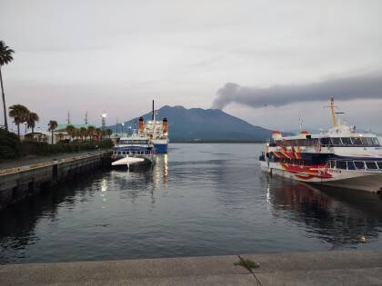
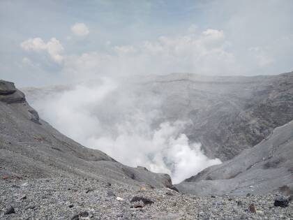
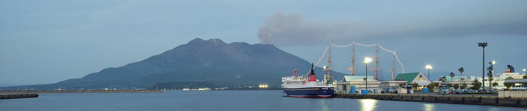
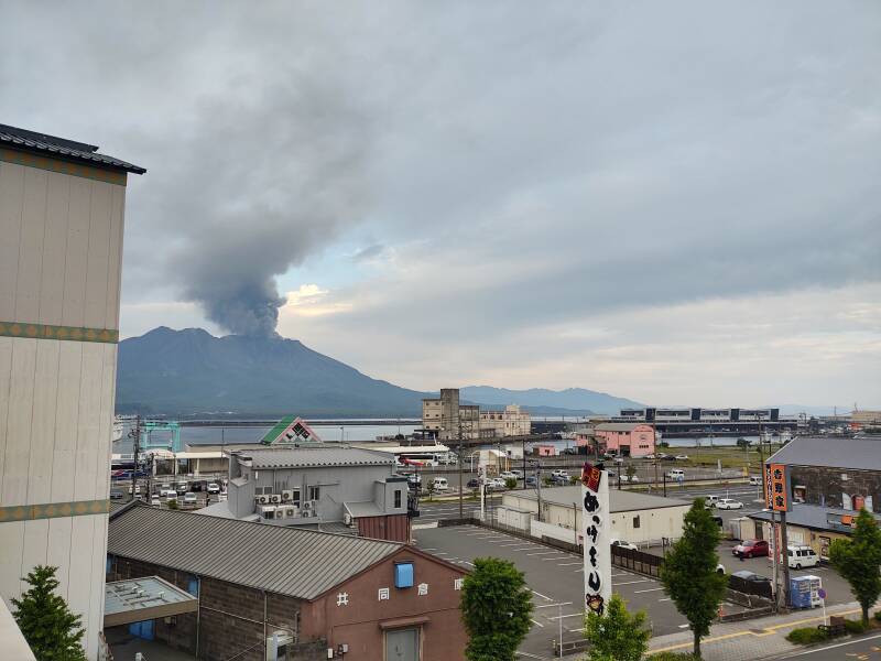
Above is the view looking across the bay
from Kagoshima to Sakurajima,
which was erupting ash during my visit.
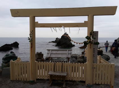
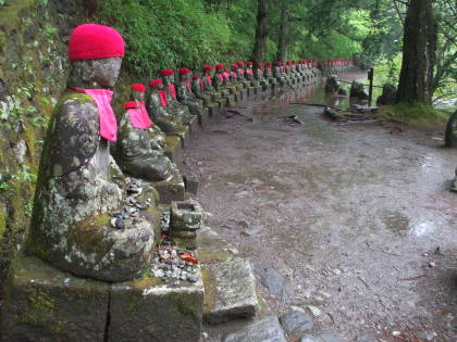
Samurai & Ramen Yamadera Mount Haguro
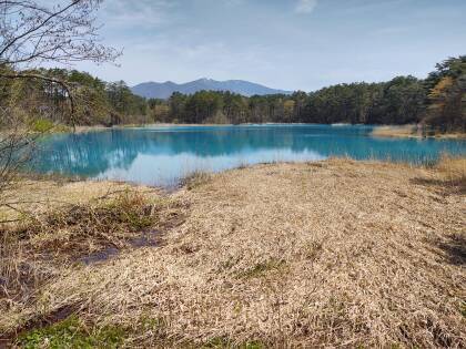
I had been in Tōhoku, north of Tōkyō on Honshū, the largest island of Japan. I had seen volcano-formed colorful lakes and samurai castles around Aizu-wakamatsu, visited the Yamadera temple complex near Yamagata, and the pilgrimage site of Mount Haguro. Then I had flown southwest from Sendai to Kyūshū.
The Kagoshima airport is near the top of the below map. Kagoshima bay is made up of two large submerged calderas, each a roughly circular basins caused by the collapse of a volcano's lava chamber. A third caldera lies to the south, completely submerged under the East China Sea. This region is where the Okinawa Plate is colliding with the Amur Plate while the Pacific Plate is subducting under both of them.
Across the narrowest part of the bay from Kagoshima City is a roughly circular area of land barely attached to the main body of Kyūshū. That's Sakurajima, the volcano whose name means "Cherry blossom island." It was an island until 1914, when lava from a large eruption joined it to the mainland.
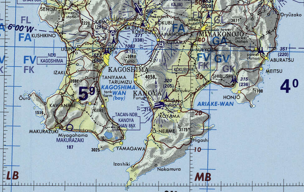
Small portion of 1:1,000,000 Operational Navigation Chart TPC H-13, from the Perry Castañeda Library Map Collection at the University of Texas. Elevations and tower heights are in feet.
The below map shows more detail, it's at 1:500,000 rather than 1:1,000,000 scale. Now there's a road along the shoreline of Sakurajima. However, ferries run around the clock between Kagoshima City and the nearest point on the volcano's shore. It's just a 15 minute ride across the bay.
The water-filled circular caldera north of Sakurajima is the Aira Caldera. It formed in a major eruption about 22,000 years ago.
South of that and off this map, near Kanoya and Koyama in the above map, is the Ata Caldera. It formed in major eruptions about 240,000 and 105,000 years ago.
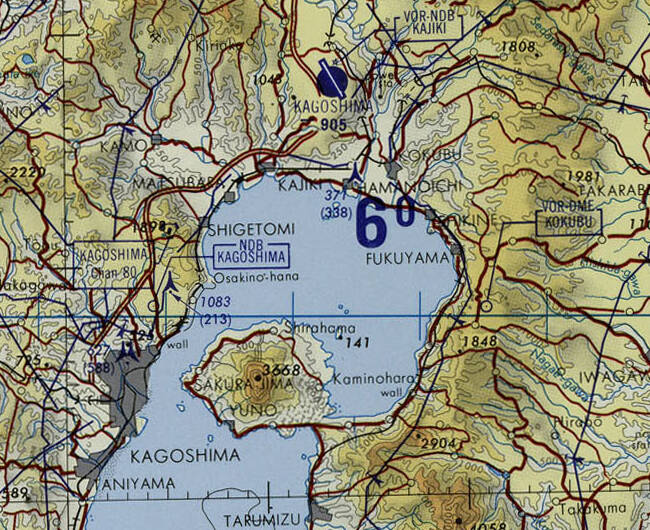
Small portion of 1:500,000 Tactical Pilotage Chart TPC H-13A, from the Perry Castañeda Library Map Collection at the University of Texas. Elevations and tower heights are in feet.
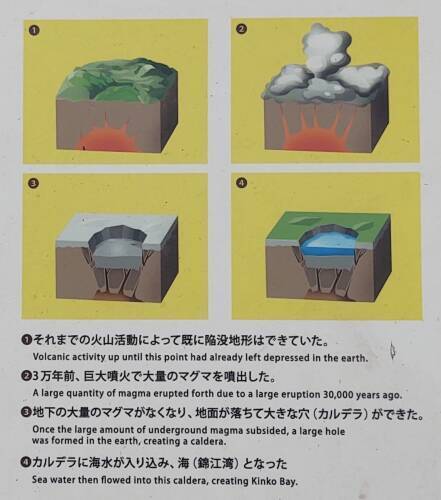
What's a Caldera?
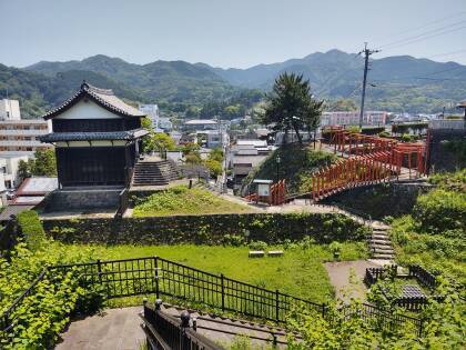
Visiting theThira Caldera
A caldera forms when a volcanic magma chamber has formed, the lava flows out in an eruption, and then the emptied chamber collapses. The result is a broad, flat, lowered area, roughly circular in outline. Caldera from the Spanish word for a cooking pot, called a cauldron in English.
Visiting theValles Caldera
Aira Caldera is about 17 by 23 kilometers in size, and flooded with seawater to form a bay 200 meters deep. Sakurajima is along its southern edge, connected to the same magma system.
Here's a picture of a sign illustrating the process, along the path near the visitors' center on Sakurajima.
To My Guesthouse
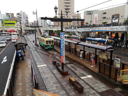
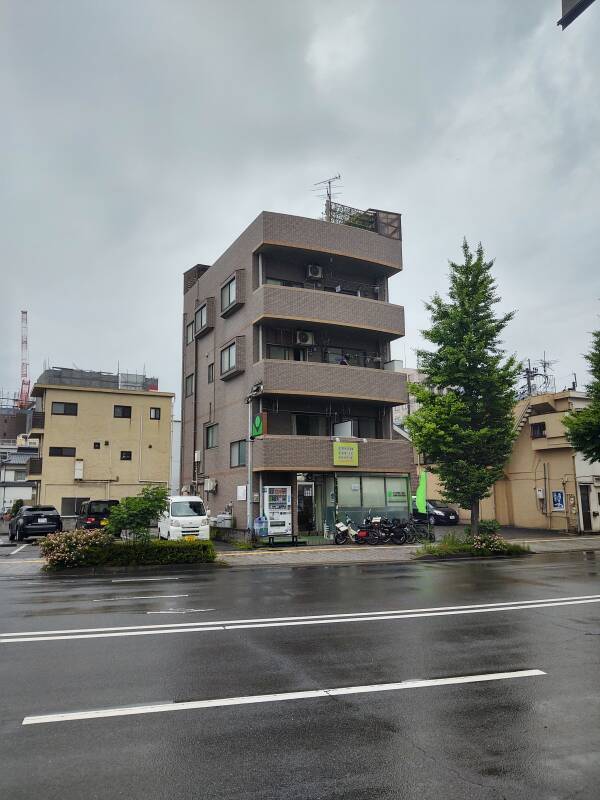
Guesthouses at Booking.comI flew from Sendai to Osaka, and from there to Kagoshima Airport — SDJ–ITM–KOJ. Frequent buses connect the airport to the city center, about a 40 minute ride. I stayed on board past the main train station, to the end of the line near City Hall. Then I had about a 10 minute walk south to the Green Guesthouse.
They have some private rooms, and some shared ones. I had reserved a sleeping pod in a shared room.
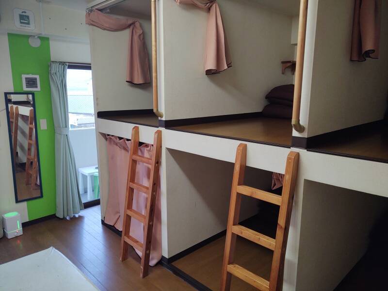
A futon, a light, an electrical outlet, and a small fan pulling air in from the room and out through the back wall. I'm all set up. My own private pod! Without the potential weirdness of capsuru hoteru, which, yes, I have experienced.
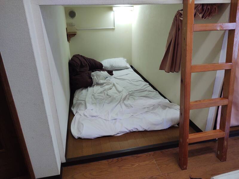
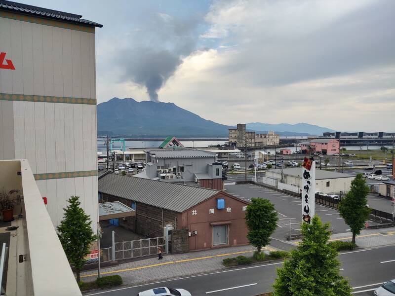
And, from the room's balcony, I had a view of the erupting volcano! My capsule was only ¥ 3366 per night, about US$ 25.67, for lodging with a volcano view.
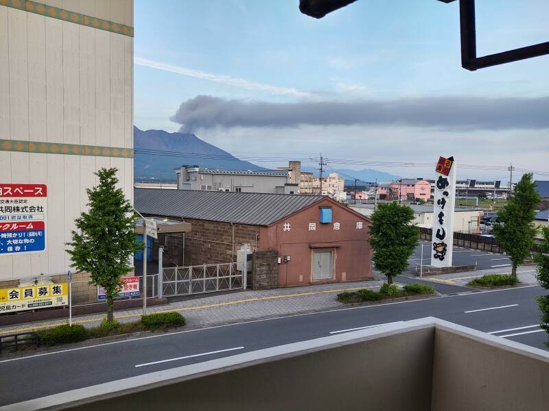
The rooftop terrace area, two floors higher, had a slightly better view.
The summit of Sakurajima is at 1,118 meters or 3,668 feet. According to the Tōkyō Volcanic Ash Advisory Center, the ash plume extended to altitudes from 6,000 to 9,000 feet during my visit to Kagoshima.
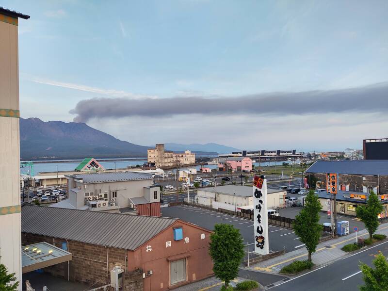
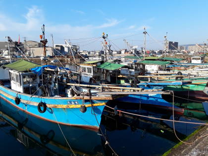
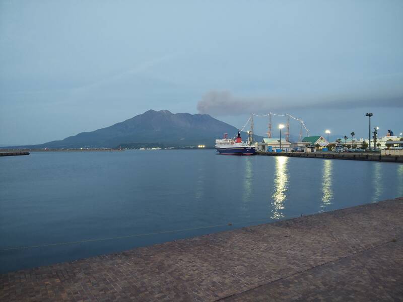
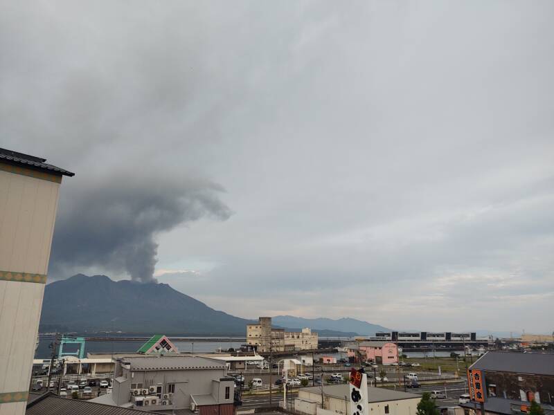
Around the Harbor
The harbor area was just a block away, with better views of the volcano and its ash plume.
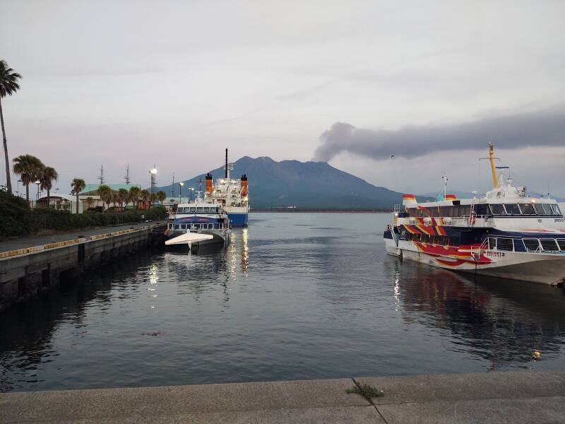
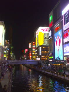
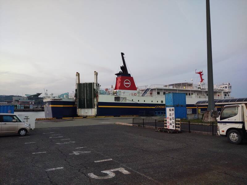
Ferries run between Kagoshima and the chain of Ryukyu islands south through Okinawa and onward almost to Taiwan. From Kagoshima it's 985 kilometers to Tōkyō and just 1,120 kilometers to Taiwan.
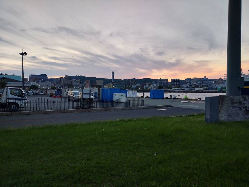
The sun was setting over the mountains on the west side of Kagoshima.
The ash continued.
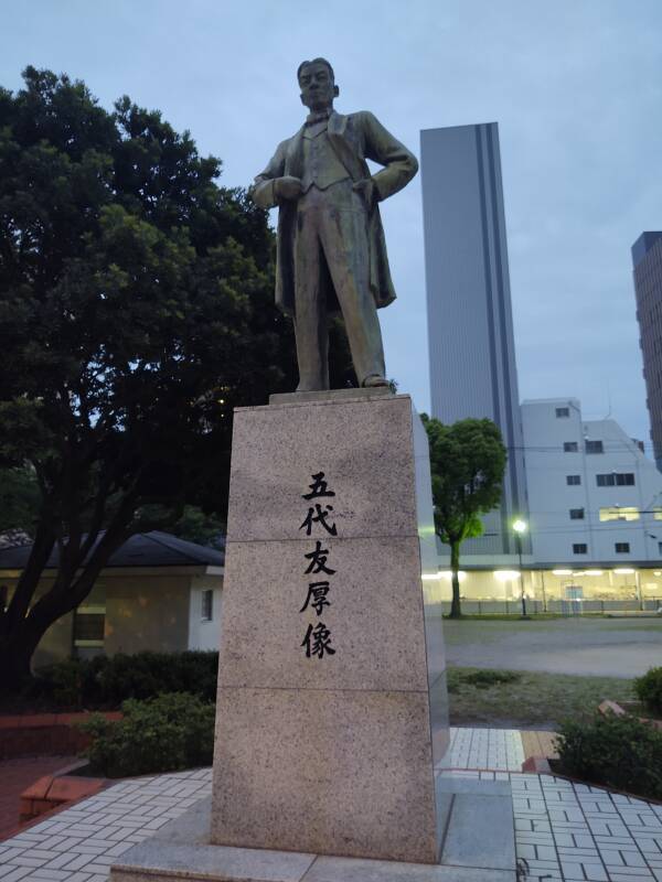
A statue near my guesthouse depicted Godai Tomoatsu. He was born in 1835, when the Shōgun who ruled Japan imposed strict isolation. Almost no foreigners were allowed to land in Japan, and almost no Japanese citizens were allowed to leave. Godai was, unusually, interested in world affairs.
In 1857 he went to study in Nagasaki, where the Netherlands was allowed to maintain a small trading post and there was some very limited exposure to foreign trade and ideas.
The Satsuma Clan which ruled the local domain was relatively independent of the central government, which was far to the northeast in Edo, today's Tōkyō. The Satsuma Clan sent Godai to Shanghai in 1862, where he purchased a German steamboat, renamed it the Chitose Maru, and traveled along the Chinese coast.
The brief "Anglo-Satsuma War" of August 1863, really three days of shelling in Kagoshima harbor, led to his brief captivity by the British navy.
Godai was included in the 15 "Satsuma students of 1865" who were surreptitiously taken to Britain to study and establish business connections. He returned to Japan as the Tokugawa Shōgunate was ending. He was involved in establishing Japan's first modern factory, the Kagoshima Mill. He also supervised the construction of Japan's first modern naval yard, in Nagasaki. He later founded the Osaka Stock Exchange and the Osaka Chamber of Commerce.
I would see more about the covert student operation later in my visit to Kagoshima.
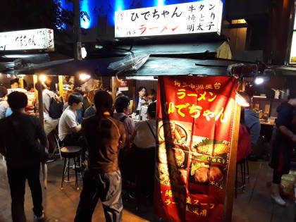
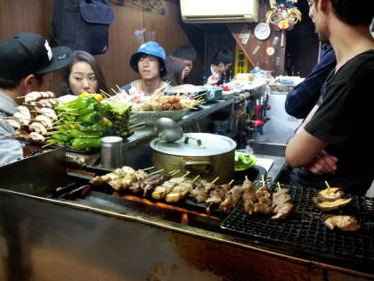
Now it was time to get dinner. The Kadonoya ramen restaurant was just a few blocks from where I was staying, I returned there for dinner each night in Kagoshima.
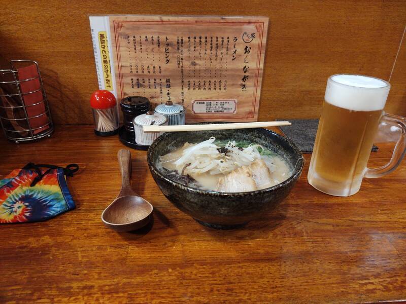
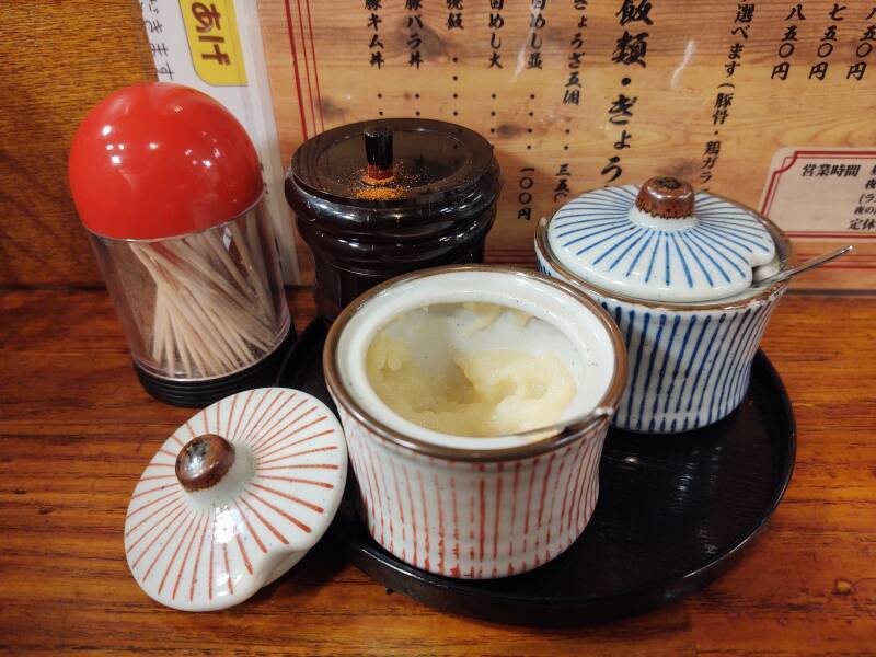
The traditional style of ramen in Kagoshima is based on tonkotsu, cloudy pork bone broth, with some chicken stock, vegetables, and dried sardines, kelp, and mushrooms. The noodles are a little thicker than the national average. You can add garlic paste, finely ground chili pepper, and sesame oil with chili.
The Next Day's Volcanic Activity
The following day, after taking the ferry across to Sakurajima as shown on the next page, I went up to the rooftop at the end of the day for another look across the bay. The ash plume changes appearance rapidly — not just day to day, but minute to minute. Here's how it looked at 17:28:37:
About 15 minutes later, at 17:43:57:
And about another 15 minutes after that, at 17:59:47:
In the evenings I could examine the maps and plan the next day's activity in the shared room at the guesthouse.
Other topics in Japan:
Amazon 1839059796
Amazon 1640975438