Sakurajima
Japan's Most Active Volcano
Jima or
shima means "island", and
sakura means "cherry blossom".
Many things are named for cherry blossoms in Japan, including
one level of service on the fantastic Shinkansen trains.
Also, Japan's most active volcano.
So, Sakura-jima or
Sakurajima is really
Cherry-Blossom Island.
It was a separate island within the bay
until a large lava flow in 1914
connected its southeast edge to
the main body of Kyūshū.
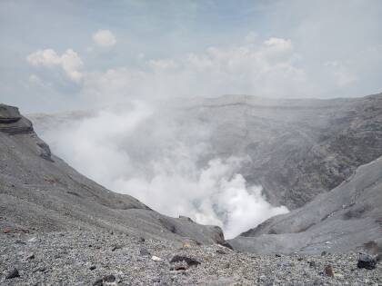
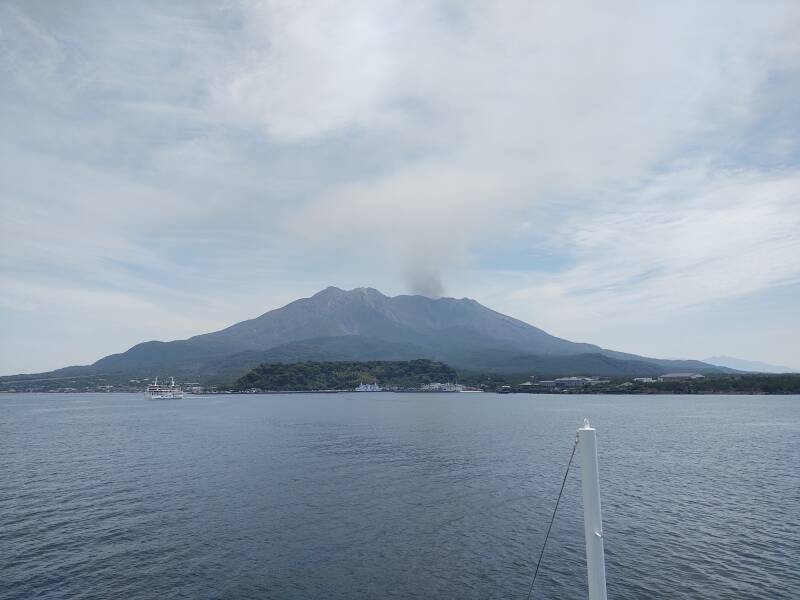
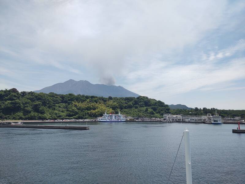
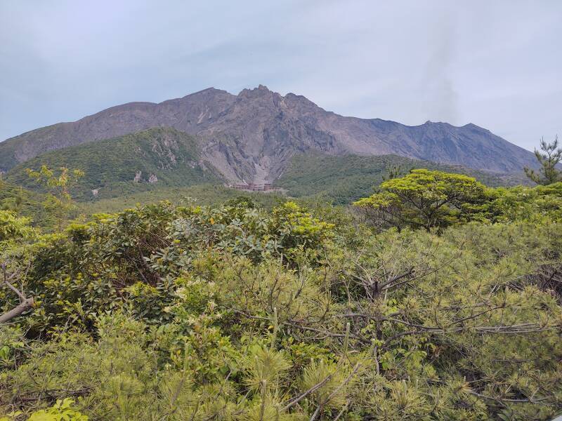
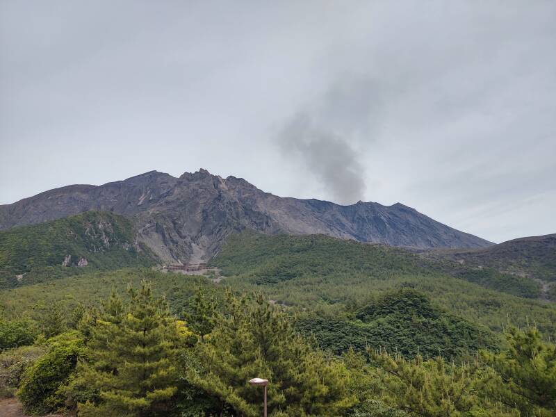
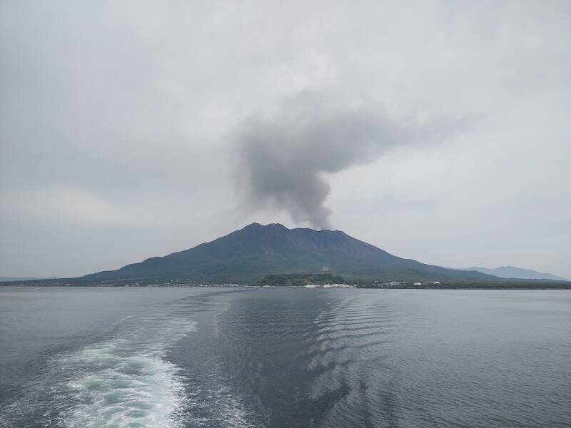
Currently there are three peaks of similar height.
The southern one is usually the active one.
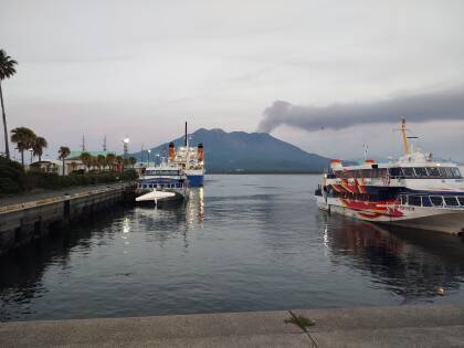
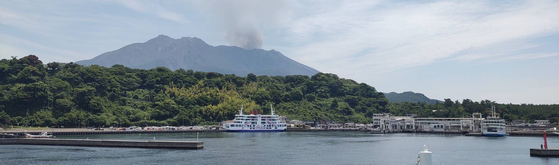
That's where the ash is coming from in the above picture.
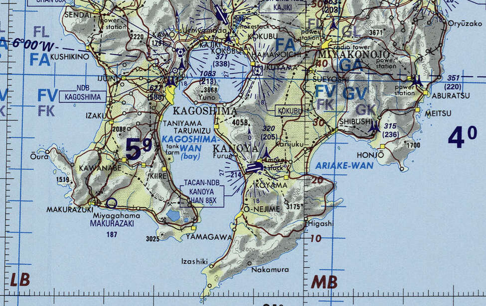
Small portion of 1:1,000,000 Operational Navigation Chart TPC H-13, from the Perry Castañeda Library Map Collection at the University of Texas. Elevations and tower heights are in feet.
Crossing the Bay
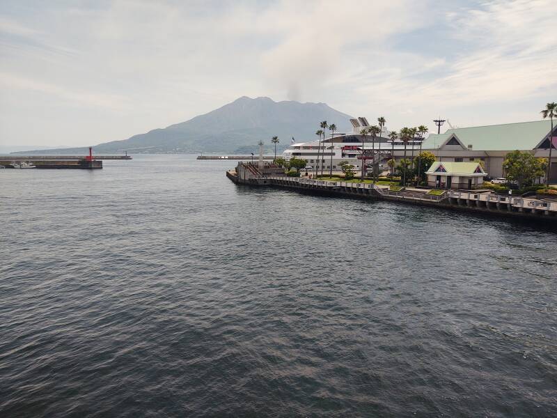
I got breakfast at a Family Mart near where I was staying — onigiri or a triangle of rice around salmon or tuna, wrapped in nori or a thin sheet of dried seaweed, along with a bottle of green tea. Then I had an interesting walk along the waterfront to the Sakurajima ferry terminal.
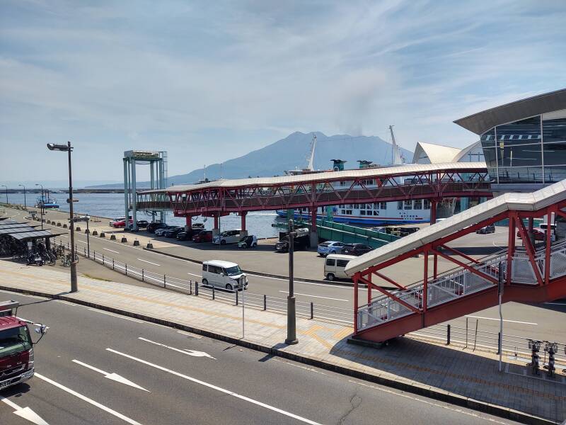
The ferries run back and forth 24 hours a day. One leaves every 10 minutes through the day, and once an hour overnight. It only takes a little less than 15 minutes to cross the bay. A passenger ticket is just ¥ 200. You pay on the Sakurajima end in both directions.
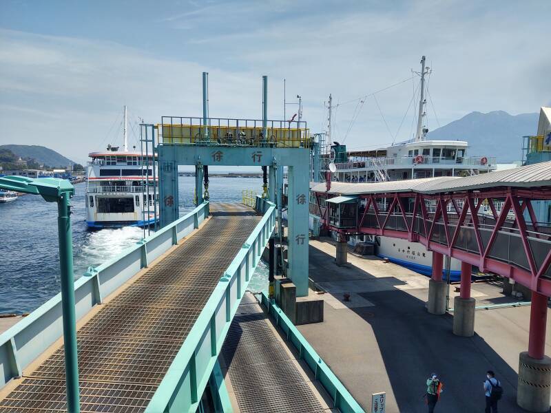
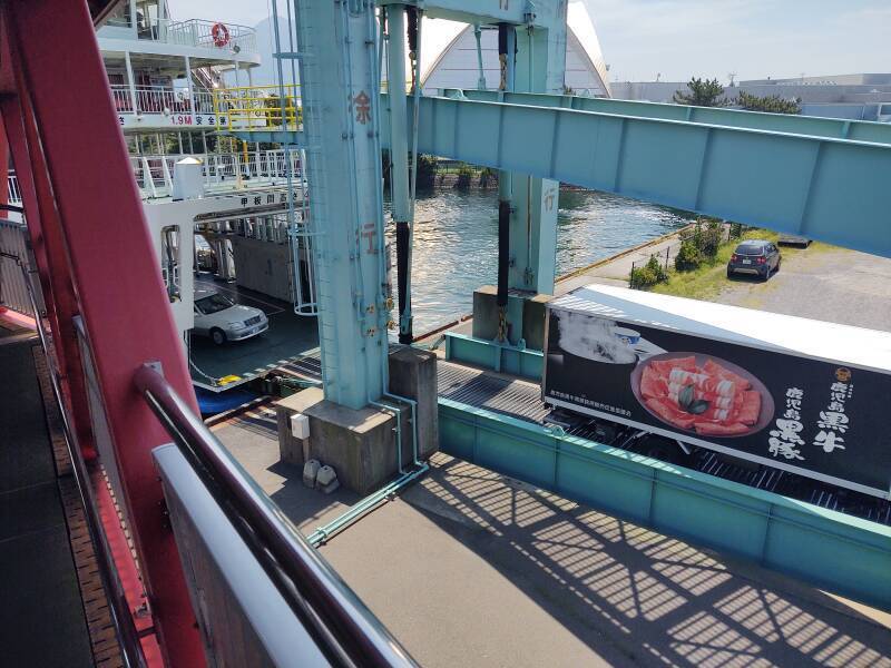
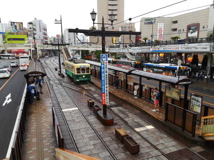
Many passengers just walk on, but there are ramps to carry cars across the bay. A road now connects from the main body of Kyūshū to Sakurajima and runs most of the way around its shoreline. But it's much faster to cross on the ferry.
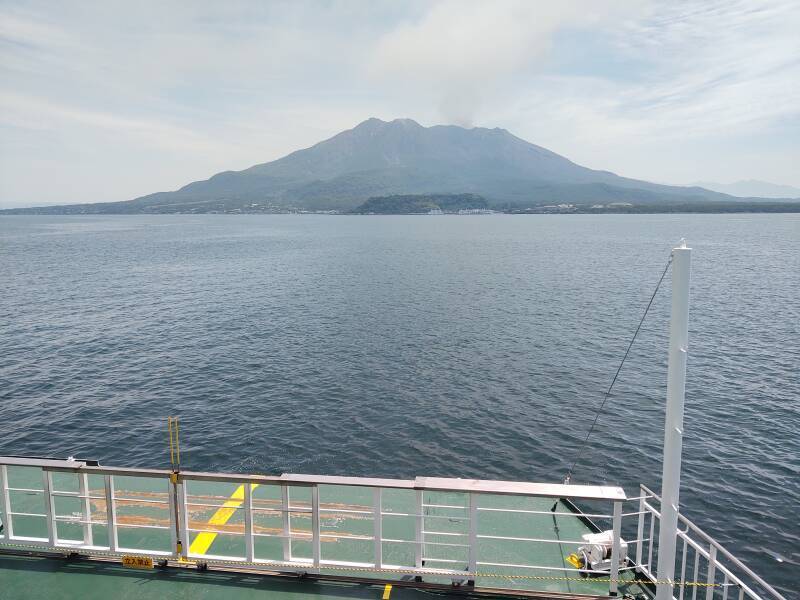
My ferry is about to leave as another pulls in.
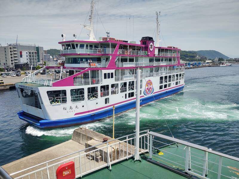
And, here we go! My ferry is headed toward the harbor entrance.
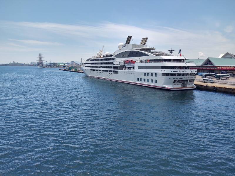
A French-flagged cruise ship out of Polynesia had stopped in Kagoshima.
The ferry terminal on the Sakurajima shoreline was clearly visible as soon as we moved out into the bay. It's just 3.5 kilometers between the ferry terminals.
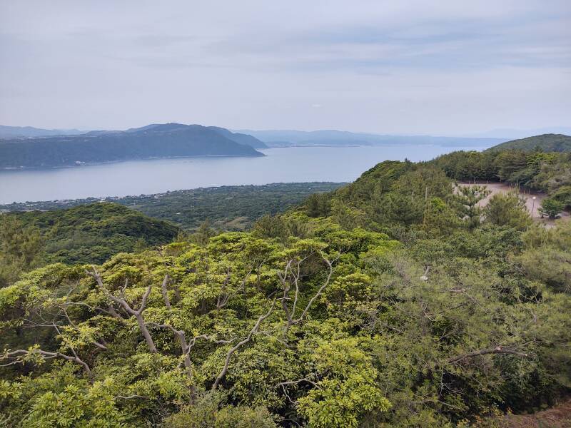
The Aira Caldera and the rest of Kyūshū is to the north, off to the left in the below view. Ata Caldera, the rest of Kagoshima Bay, and the East China Sea are to the south, off to the right. Both calderas formed during highly explosive eruptions, Ata about 105,000 years ago and Aira about 22,000 years ago. Eruptions from the southern rim of the Aira Caldera began forming Sakurajima about 13,000 years ago.
People first entered Japan from 35,000 to 25,000 BCE by walking south from eastern Siberia, when the most recent Ice Age had locked up water in glaciers and lowered the global sea level. They were Paleolithic big-game hunters. The hunter-gatherer population settled down and the Jōmon culture appeared around 14,000 BCE. A large eruption about 5,300 BCE depopulated this area with pyroclastic flows, tsunamis, and heavy ash eruptions.
The Jōmon people probably moved back into this area. But then they were displaced by the people crossing from the southern Korean peninsula, bringing aspects of what we now think of as early Japanese culture — Japonic language, wet-rice agriculture, and ancestor and kami worship.
The 1914 eruption ejected about one and a half cubic kilometers of lava. That slightly shrank the magma chamber and made the center of the bay 60 cm deeper. The magma chamber is re-filling faster than Sakurajima erupts material, so another major eruption is expected to happen within the next 30 years. The government has planned for this. A few thousand people live along the shoreline of Sakurajima. There are designated points to land ferries to evacuate the inhabitants.
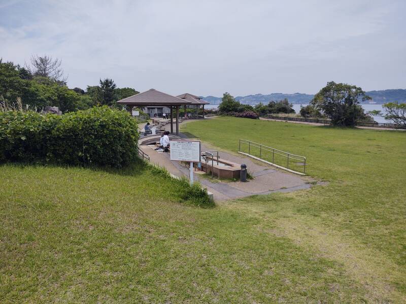
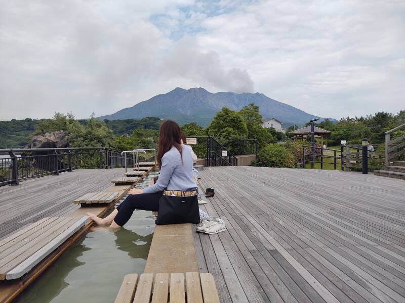
To the Onsen
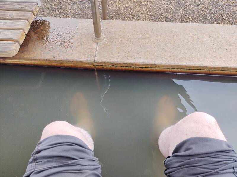
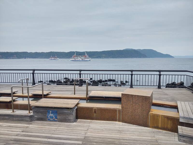
It's a short walk from the ferry terminal to the free public footbaths.
You can soak your feet in water heated by the magma, with a view of the erupting volcano.
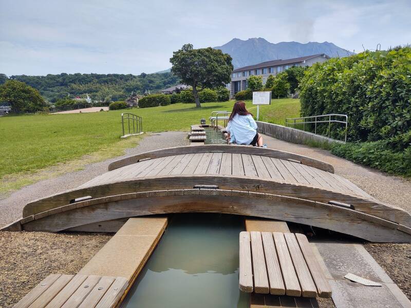
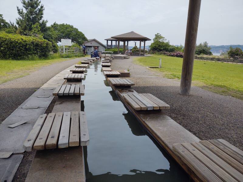
Yes, the water is quite hot. It's magma-heated, iron-rich, and brown.
There is a proper onsen nearby, with paid entry for the full-body nude immersion. For me, soaking my feet in the hot water was plenty.
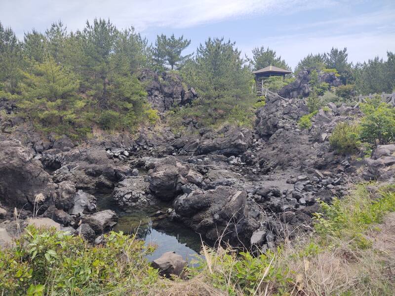
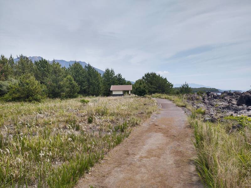
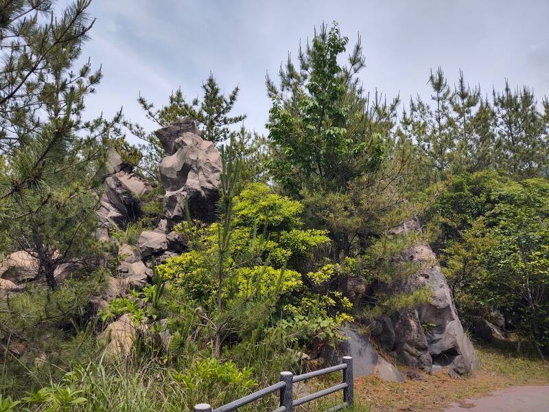
Along the Lava Trail
A walking trail follows the relatively new shoreline. This area was created in the 1914 eruption.
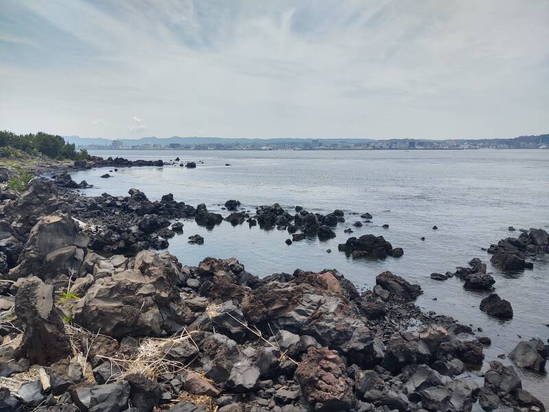
The 1914 eruption had two major flows. One to the southeast, eventually connecting Sakurajima to the Kyūshū mainland, and the other to the west, extending that shoreline further into the bay and toward Kagoshima City. Trees are now growing in the 1914 lava area.
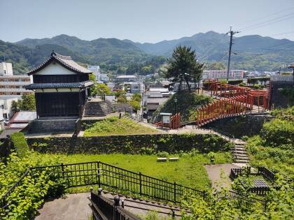
Looking up the mountain, you can see a sort of dam built to reduce erosion and restrict the flow of lahars or eruption debris flows. The check dams are called the "Sabo" system, that being a mashup of the Japanese words for "sand protection".
The upper slopes are bare of vegetation due to erosion and the effect of volcanic gases and hot material.
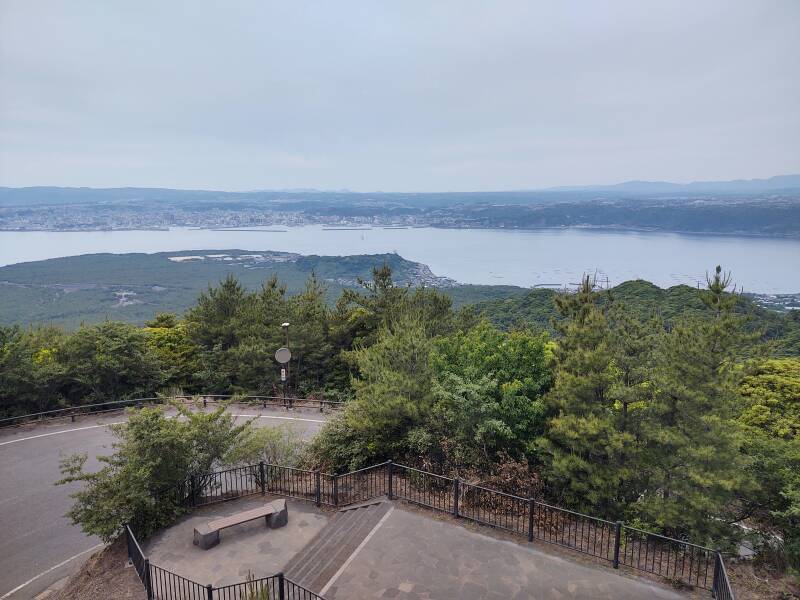
Buses make a circuit between the ferry terminal and the Yunohira Observation Deck. That's a public viewing site part-way up, the highest the public is allowed to go. My Kagoshima City multi-day transport pass included that bus.
Here's the view from the observation point, looking southwest across the bay toward its opening into the East China Sea.
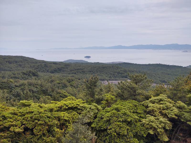
And, turned slightly to the right, you look out across the 1914 lava flow into the bay and across to Kagoshima City.
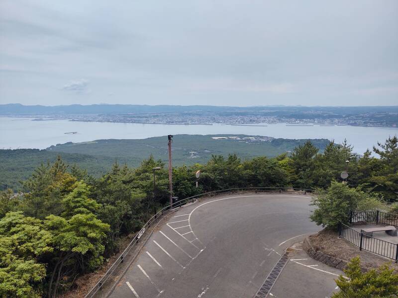
Further to your right, you can see to the north across the Aira Caldera.
From the observation deck you have a better view of one of the Sabo dams.
If your feet are sore from walking the trails, you can stop at the public footbath as you return to the ferry terminal.
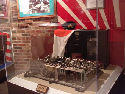
There's more to see at Sakurajima, including the World War II naval bunker shown on the next page. I spotted it from the bus while riding down from the observation point. For now, the virtual tour returns to Kagoshima City. See the next page for pictures and details of the naval bunker.
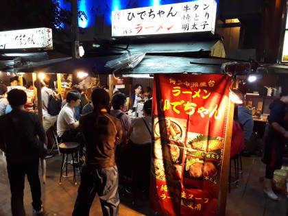
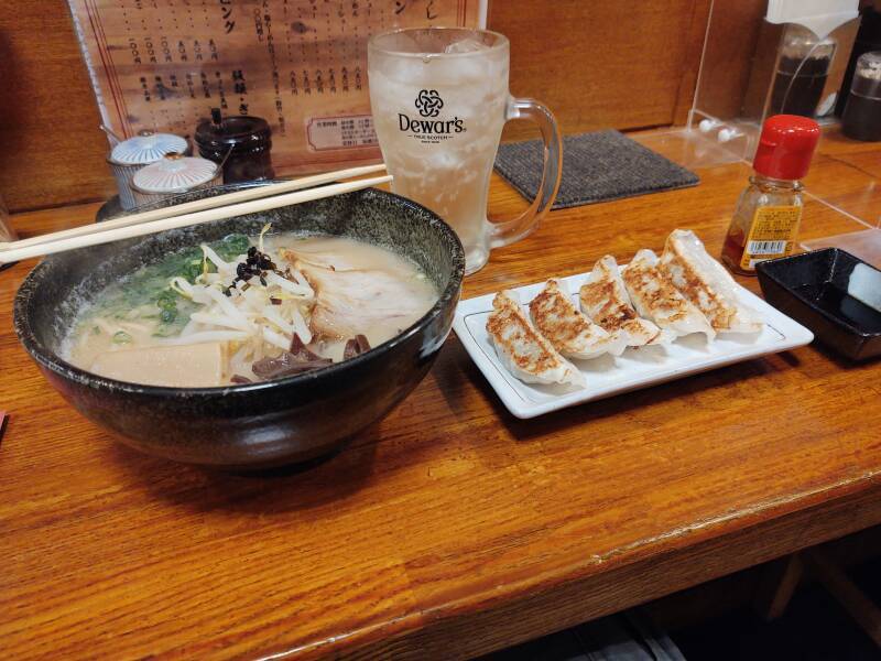
Another night in Kagoshima, another gyoza and ramen dinner.
Other topics in Japan:
Amazon 1839059796
Amazon 1640975438