The Road to the Isles
Glen Nevis to Fort William
I'm nearing the end of the long trek from Corrour station across Rannock Moor to Glen Nevis and onward to Fort William. Now that I was finally out of "the boggy part", I changed back to my boots. Taking it easy, I was on the roughly paved road from the car park by about 1645.
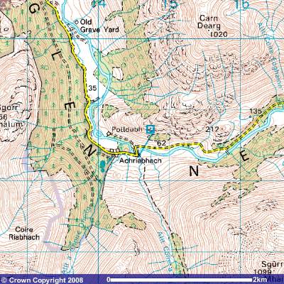
The road is very rough pavement, what we call "chip and seal" in the U.S., until you reach the bridge over the waterfall at Achriabhach. Then it transitions to better pavement, and you see that the marking on the map goes from dashed to solid lines.
There is a bus running from Fort William up Glen Nevis to near that bridge, but you would have to get there about 30 to 45 minutes before I did in order to catch it. So, it was a long and slow, but relatively easy, walk back to Fort William.
The Water of Nevis, now called River Nevis, has grown large and powerful by the time it reaches Achriabhach waterfall.
Back around the watershed, around Tom an Eite, the Water of Nevis was just a generalized seeping of water through saturated peat and soil. It turned to tiny streams, but a web of small trickles.
But the combination of all those burns flowing down from the surrounding mountains has added up to quite a flow!
Achriabhach is at NN 145 683.
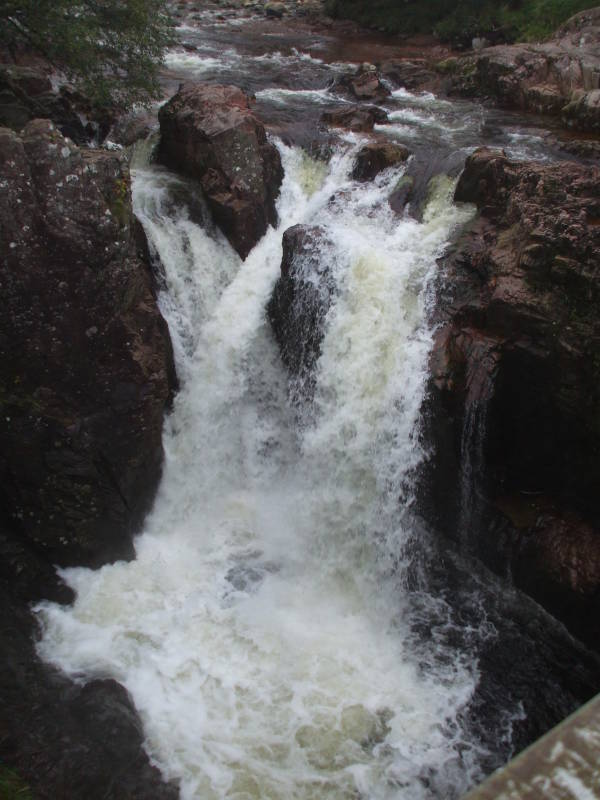
Achriabhach waterfall.
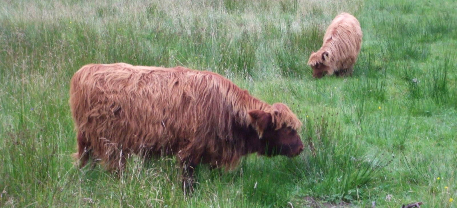
On the way back through Glen Nevis you'll probably see some Hurry Coos. Or, as you might call them, Hairy Cows.
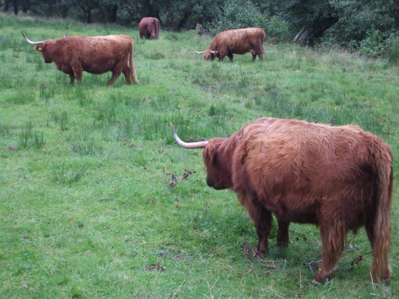
These are the shaggy Highland cattle, looking like creatures from the last Ice Age.
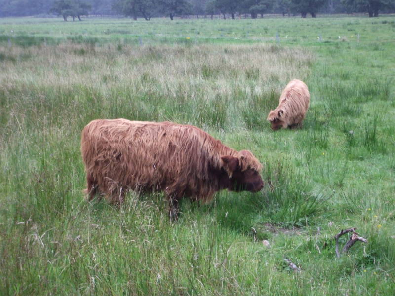
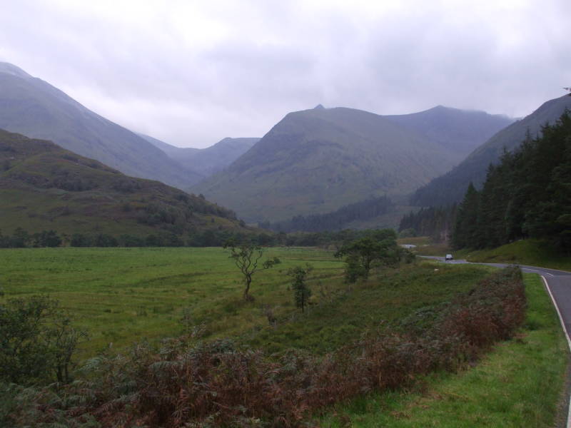
We're continuing north along the road through Glen Nevis. We've turned to look back to the south toward Stob Bàn, Ben Nevis is off to the left in this view.
Before too much longer you arrive back at Fort William, tired but feeling like you have really accomplished something.
I finally arrived back at Fort William Backpackers about 1930.
Fort William Backpackers is at NN 108 740.
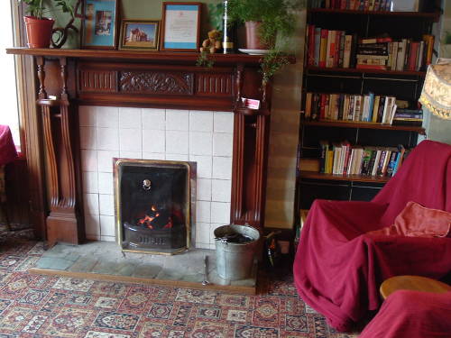
An inviting place to relax after a tiring day.
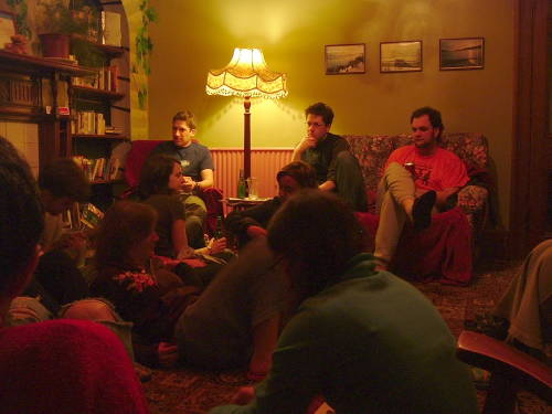
Trading stories about the day's adventures.
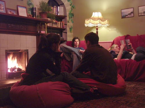
Time for bed, it's been a long day...
