I Stumble Onto A Nameless Dry Kofun
Saki Gouran / Saki Gouzanyama / Gourdsan Tomb
This one was vaguely marked on the map I was using. It was a very detailed map, describing a turn-by-turn tour through the sites north and west of the ancient Imperial palace grounds. Unfortunately, the details were all in Japanese. Unlike the other kofun described on these pages, there was no label on that detailed map, just a partial outline. If you zoom in on Google Maps it gets the same icon or marker as the other kofun. However, the only labeling is entirely Kanji. Pasting that Kanji label into Google Translate yields "Gourdsan Tomb". Pasting the Kanji label into Google search leads to a Japanese Wikipedia page. Right-clicking in Chrome and asking for a Google automated translation yields a page with the title of "Saki Gourdsan Kofun" opening with the following:
Saki Gouran Mountain Burial Mound
The Saki Gouzanyama Kofun is a
keyhole-shaped keyhole in the early middle of the Kofun period,
located in Saki Hanmon door in Nara City, Nara Prefecture.
It is one of the Saki Shield column ancient tomb group,
which is often referred to simply as Gurusan mountain tumulus,
but here we use this name to distinguish it from the
Guruzan mountain tomb located all over the country.
This ancient tomb is designated as a national historic site.
OK...
Below is the map reference. I'm approaching from the east, from the Kofun of Empress Iwa-no-hime.
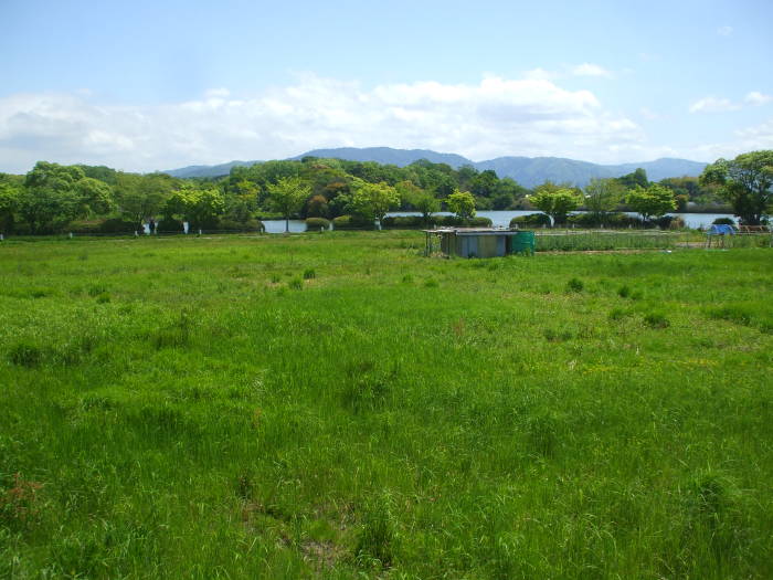
Let's approach this from the Kofun of Empress Iwa-no-hime. In the first picture below, I'm on a small lane running west between some farm fields. I have stopped and turned back to look to the southeast. The Minakami Pond is nearby. Beyond it is the ancient Imperial palace of Heijō-kyō. The city of Nara is beyond that. The mountains on the horizon are beyond Nara.
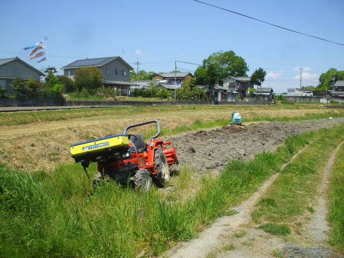
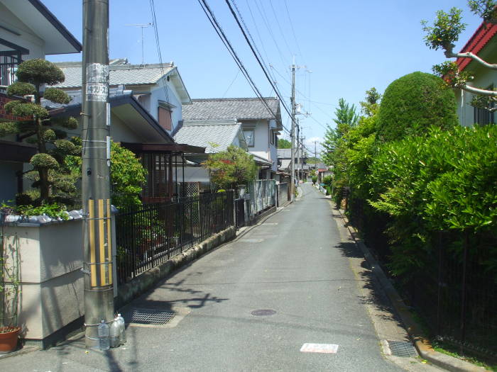
Beyond the small farms is a subdivision. Narrow streets, no lawns around the houses.
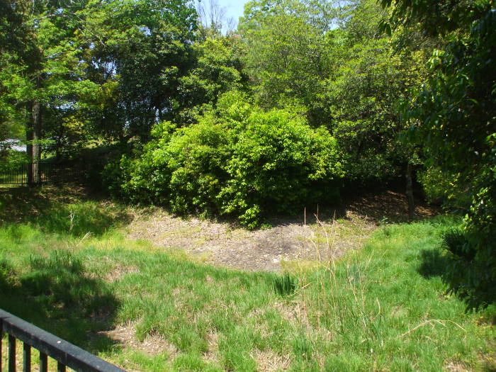
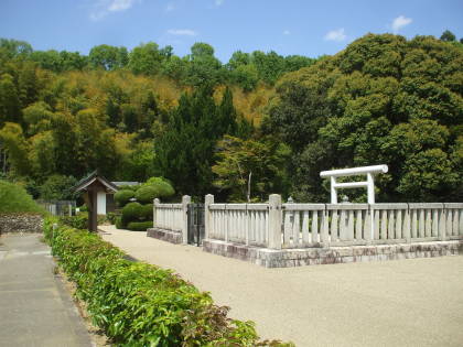
I have arrived at the mystery kofun. It is a small park with houses to the east and west and a pond to its southwest.
| Location | 135.7896° E 34.6991° N |
| Length | 96 meters |
| Circle diameter | 60 meters |
| Width at base | 45 meters |
| Height of circle | 10 meters |
| Height of bottom end | 7 meters |
| Orientation | Roughly 350° |
There used to be a mound, the Marubuka tomb, very close to the southwest. The moat did not extend all the way around this kofun. That other mound has since been destroyed, a pond is there now.
The Japanese Wikipedia page for this kofun says that some excavations were done in 1913. "Taishō 2 years" is a reference to the 123rd Emperor, Taishō, meaning that the date was in the 2nd year of his rule. Taishō took the throne in the middle of 1912. He had contracted cerebral meningitis within three weeks of his birth and was never completely healthy. His neurological problems had worsened and were continuing to degrade when he took the throne, and Crown Prince Hirohito was named sesshō or Prince Regent in November 1921. Hirohito became Emperor when Taishō died in 1926.
Exiled relics
In 1913 (Taishō 2 years) earth and sand removal was
carried out, oval clay rhinoceros having a major diameter
of 100 cm and a minor diameter of 60 cm were detected,
and three chordal stone products were excavated
from the inside. [2]
[2] Kawakami "Ancient ruins dictionary" (1995) p.538
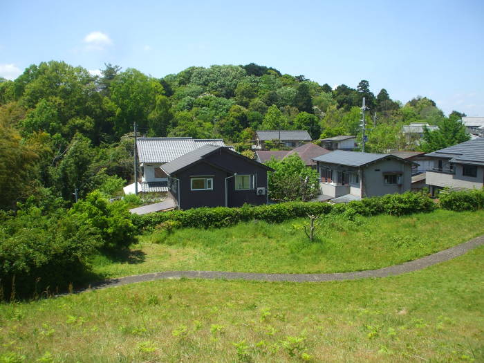
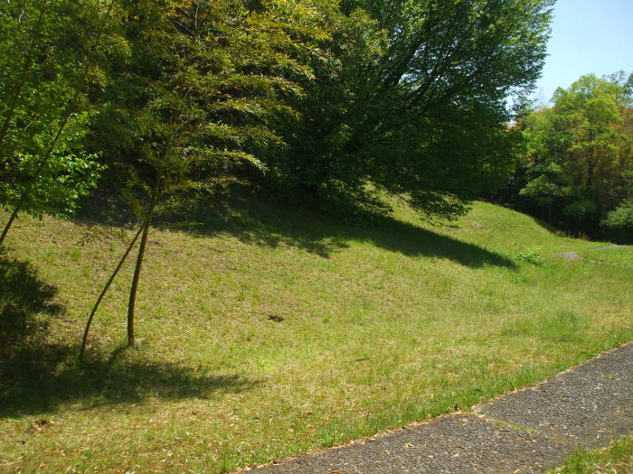
A path circles the kofun. The grass is beat down along informal walking paths that have formed by people walking up and over the peak of the mound. Clearly this kofun isn't believed to have any connection to the Imperial house.
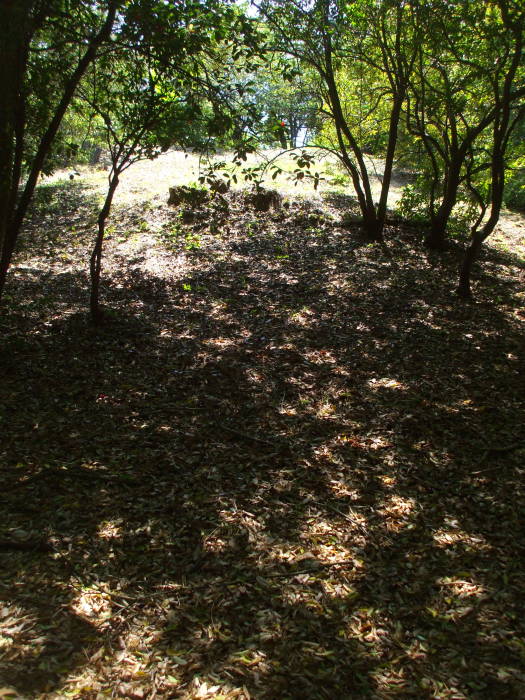
This anonymous kofun is at the northeast edge of a cluster, three of which are considered to be Imperial tombs.
Where next?
The above is specific to the kofun around Nara. Or maybe you want to explore other places in Japan.
Other topics in Japan:
