From Mount Haguro to Yamagata
By Bus from Mount Haguro via Tsuruoka to Yamagata, Then Onward via Sandai to Kyūshū
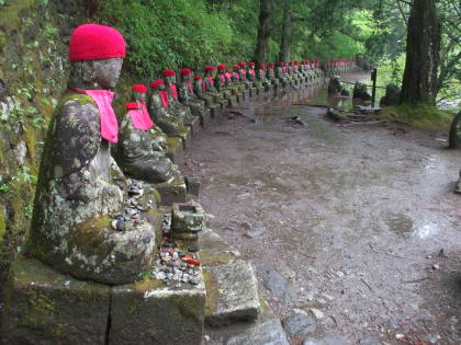
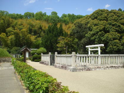
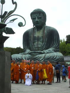
I had had a wonderful visit to Mount Haguro,
staying in a nice ryokan or traditional inn at its base
and then climbing the 2,446 stone steps up the mountain
to the shrine complex on its summit.
Now it was time to move on.
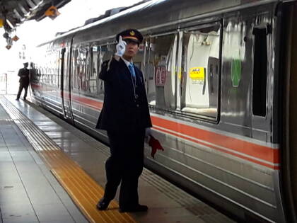
I would take a local bus to the bus station in Tsuruoka,
and then ride an inter-city bus through the mountains
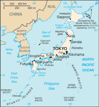
to Yamagata.
I would stay there one night before flying from
Sendai south to Kyūshū
to see some active volcanos,
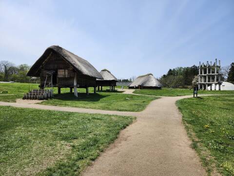
more prehistoric megalithic tombs,
and a World War II naval bunker.
From My Ryokan To Tsuruoka
How do you get from Haguromachi, the town at the base of Mount Haguro, to the inter-city bus station in Tsuruoka?
You ask your innkeeper.
I could catch a bus at the stop just 50 meters up the road (the fourth stop on the #041 line) at 09:20, and if I missed it, there would be another at 10:43. He handled the timetable details, and then I managed to find the bus stop sign on my own.
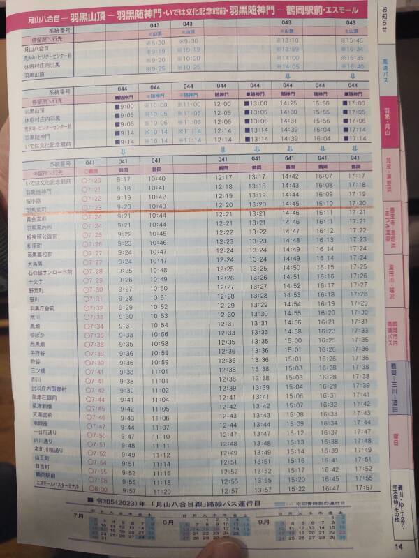
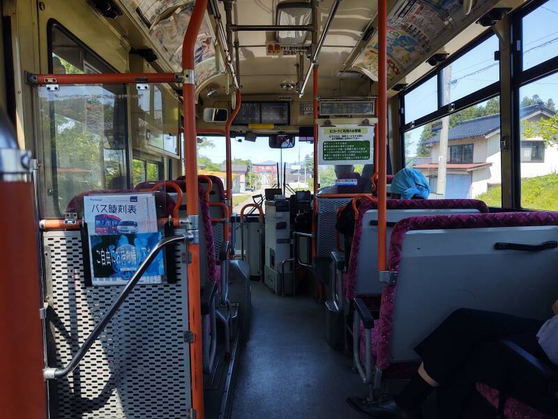
I made it onto the 09:20 bus! To ride a local bus in Japan:
- Board via the rear door.
- Take a paper slip from the machine just inside the door. There will be a machine, it will issue paper slips, do not mess this up. I have already expended plenty of dumb foreign visitor karma by neglecting to do that twice during earlier visits. But not on this trip!
- Exit via the front, giving the slip to the driver. A machine will indicate how much you owe. Pour coins into the square funnel, feed a bill into the reader slot, and any change will be issued.
A display over the windshield will tell how much would be owed if you boarded at stop X and get off at the next stop. That gives you a worst-case notice of how much to prepare to pay.
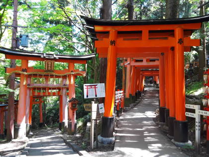
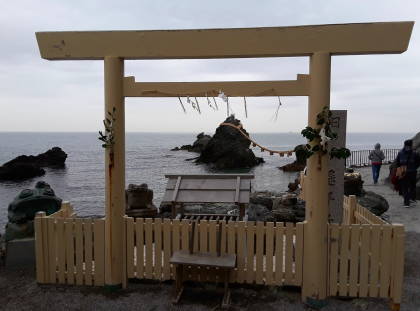
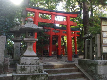
Looking out the front of the bus, I can see that we're approaching the huge torii spanning the highway at the edge of Haguromachi.
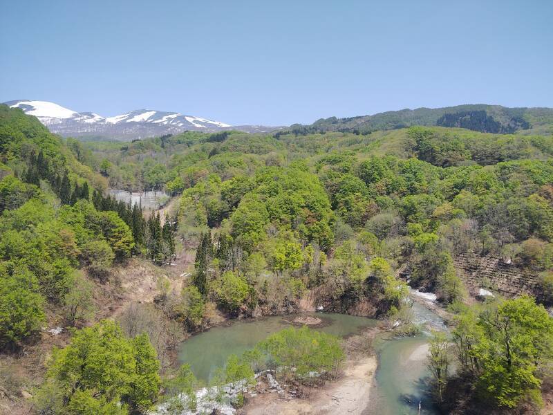
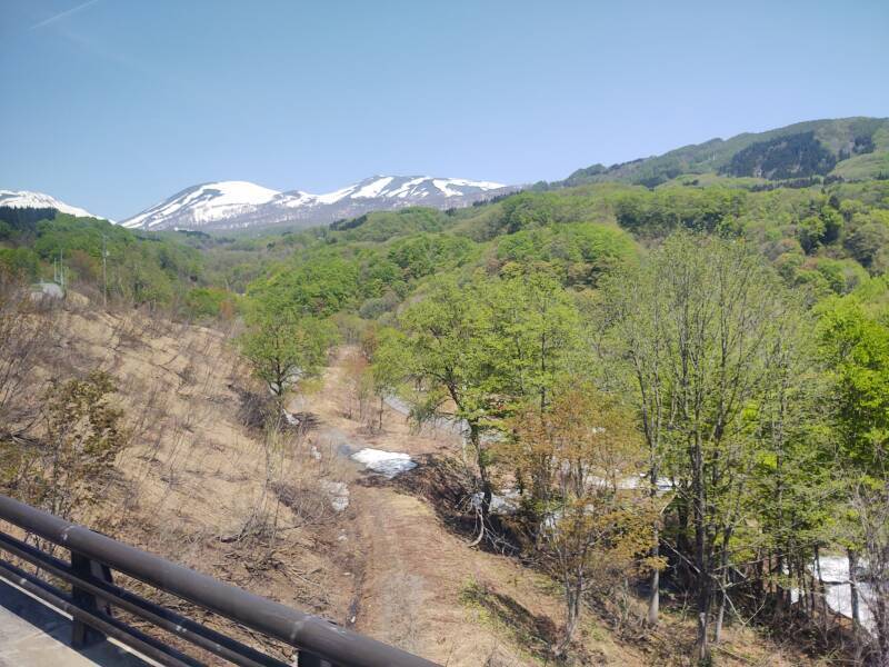
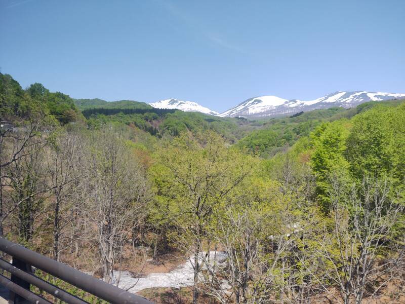
From Tsuruoka to Yamagata Through the Mountains
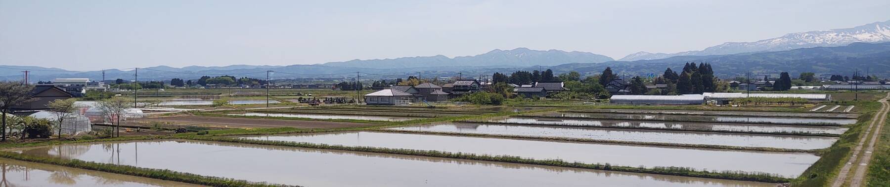
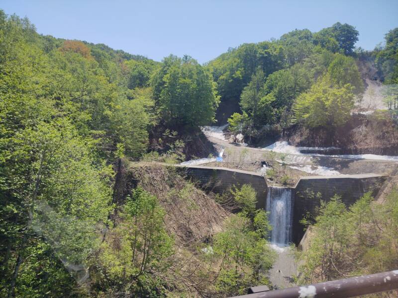
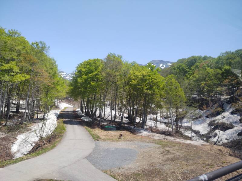
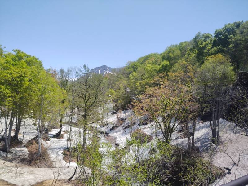
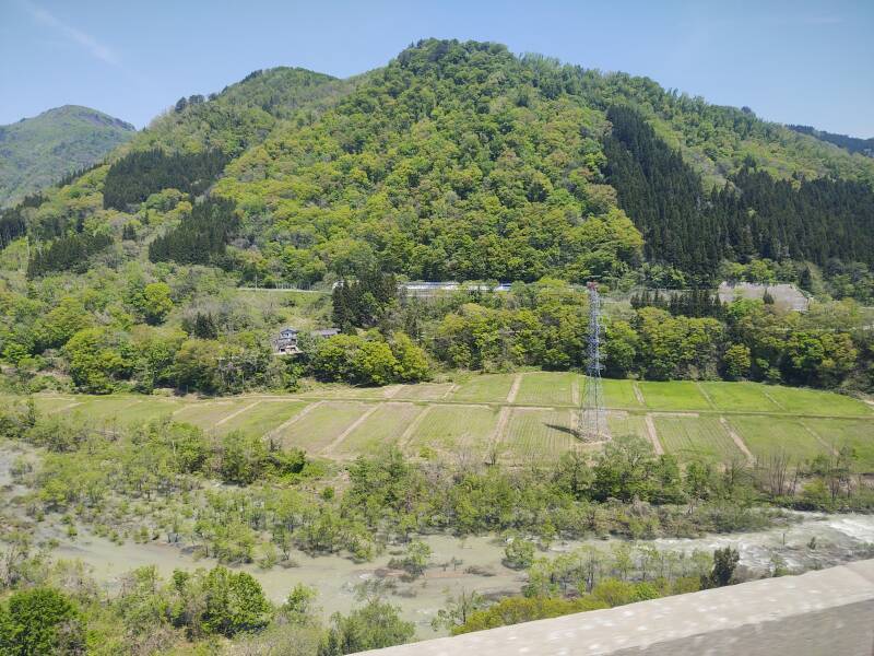
I bought a ticket on an express inter-city bus at the Tsuruoka station. It left within a half hour, and we were headed past agricultural fields toward the central mountain range. We were zipping along, with foreground objects leaning in the resulting pictures.
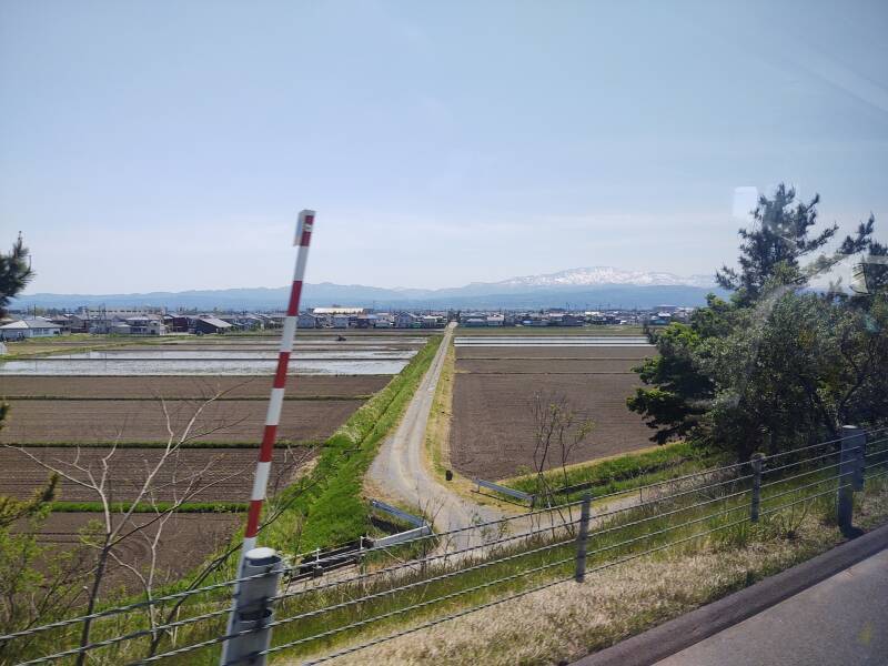
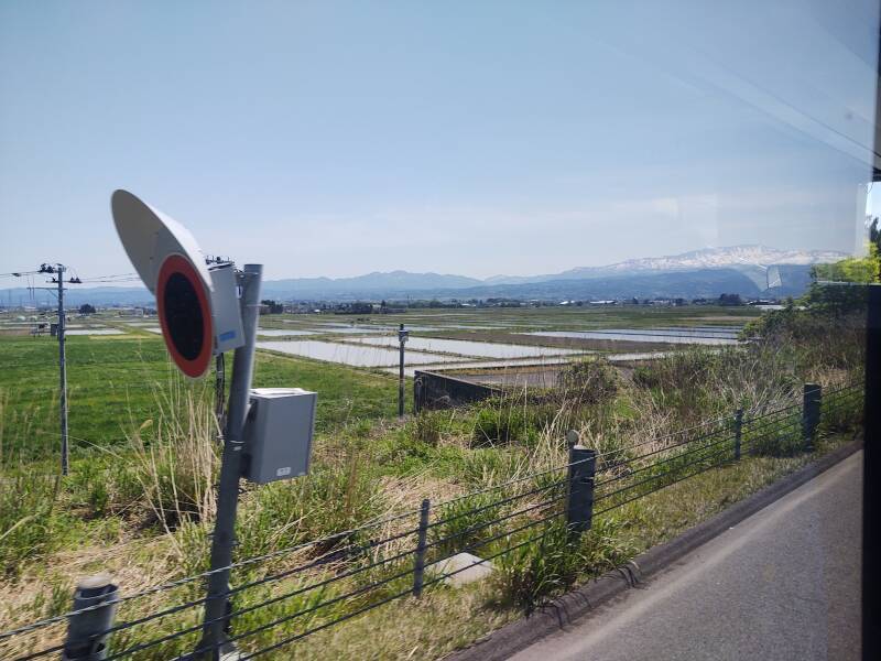
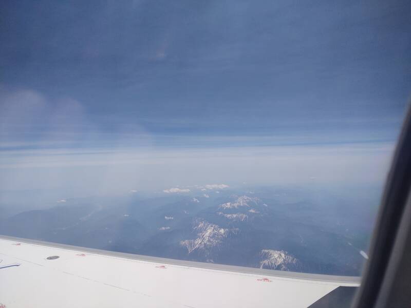
There was snow on the mountains in the distance. Soon we would be passing through snow-covered areas. These pictures are from May 9th.
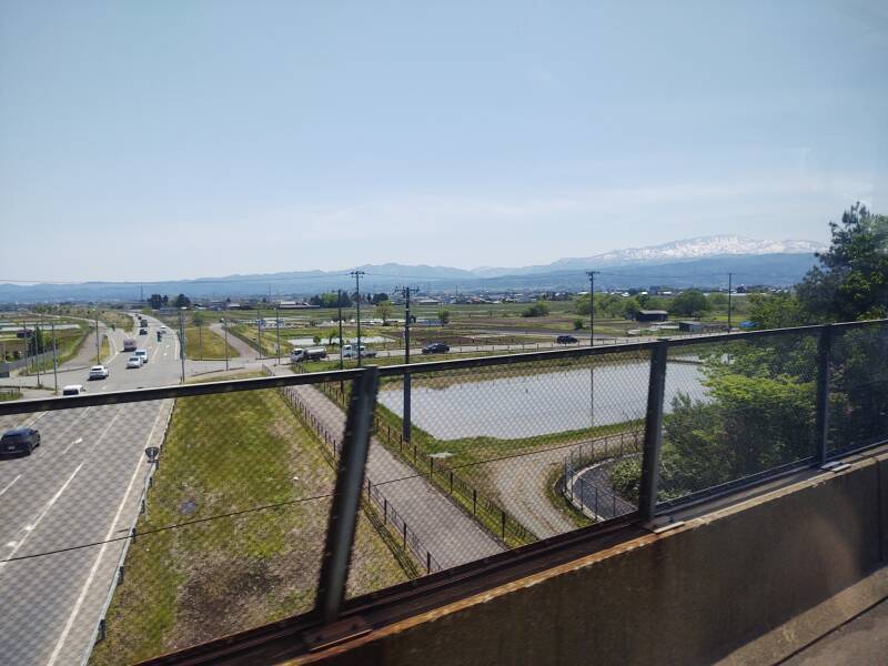
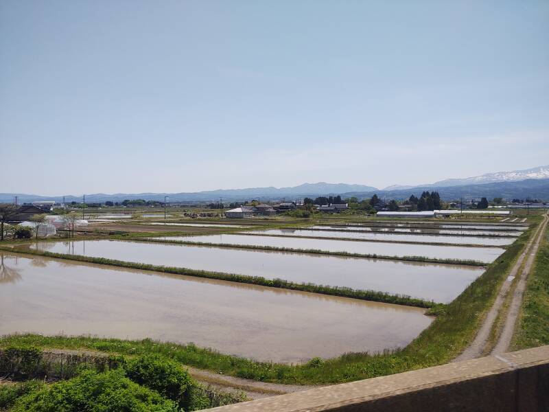
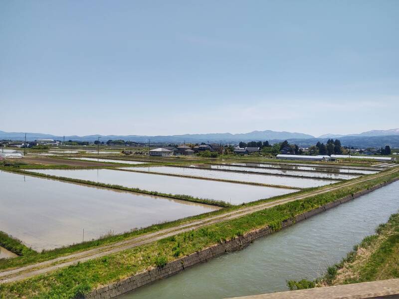
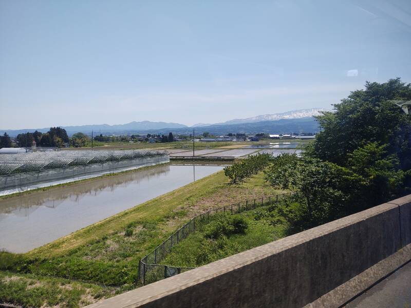
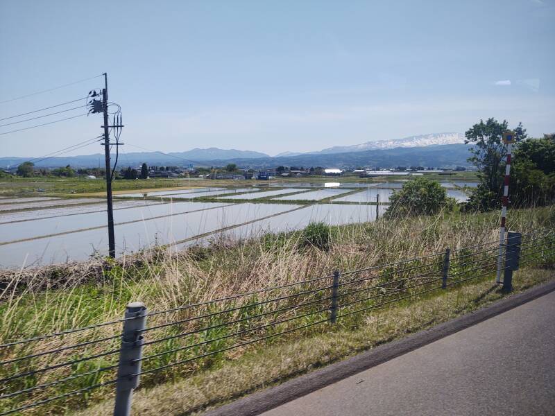
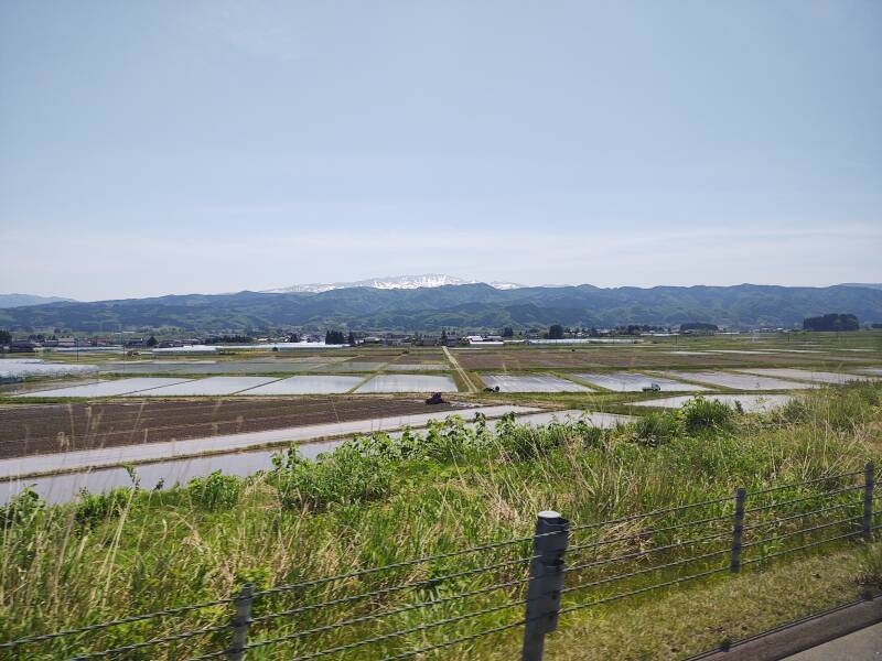
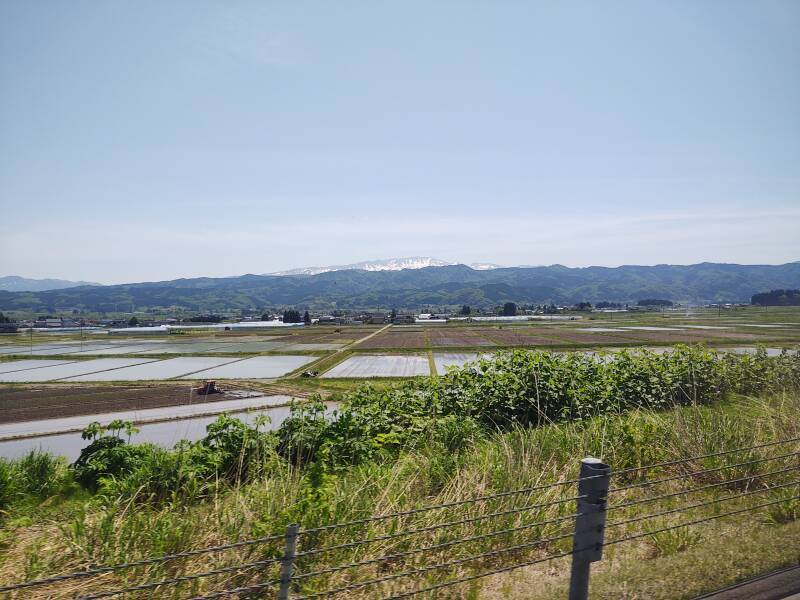
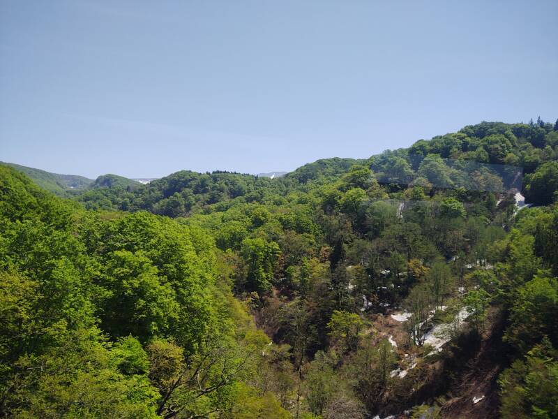
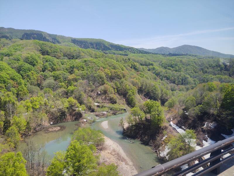
We came down out of the mountains into more agricultural land.

I had stayed in Yamagata for four nights while visiting the Yamadera temples and walking the mountain paths there. Now I needed to stay just one more night in Yamagata.
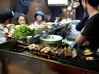
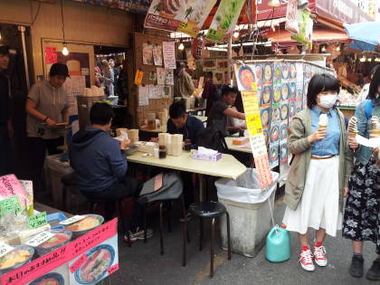
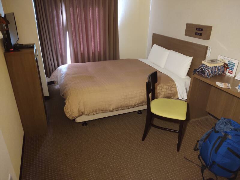
Cheap Rooms at Booking.comI just needed a place to stay for the night, and had a room reserved at the Hotel Crown Hills, which I suppose might be named for some hills that can be seen in the distance. It's a grim but adequate business hotel of synthetic fabric and slight mustiness, a short walk from the train station. The front desk isn't staffed from about 10 AM until 3 PM, so I went to a ramen shop and then an izakaya until I could get checked in and drop off my stuff.
Through Sendai to Kyūshū
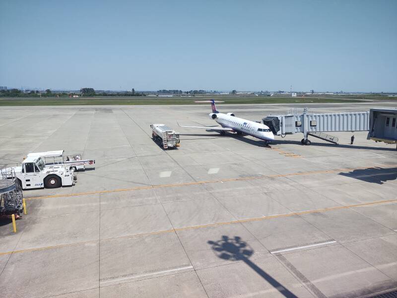
I got up early in the morning and took the train to Sendai. It was an easy connection at the main station to get to the airport. I had a ticket to fly on ANA from Sendai to Kagoshima, via a stop in Ōsaka. There's my plane!
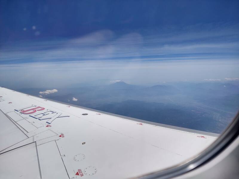
Mount Fuji was just barely visible.
As for the airport, I was flying to the Itami Airport, ITM, sometimes still called Ōsaka International even though it now handles domestic flights only.
Kansai International Airport or KIX is the main international airport for Ōsaka, Kyōto, and Kobe, opened in 1994 on an artificial island in the bay. It's an international hub for JAL, ANA, Nippon Cargo, and FedEx. When I'm at home, I can see a FedEx flight from KIX to Indianapolis going overhead every night close to midnight.
I could have selected a pair of flights with a tight connection at Ōsaka, but I don't need the stress. I selected one with a three-hour layover. Plenty of time to make my connection, get lunch, and look around. That was a good choice.
ANA NH3152 1125-1245  SDJ-ITM  CRJ7
ANA NH547  1540-1650  ITM-KOJ  B738
Like so many things in Japan, the Ōsaka airport makes the U.S. analogy look primitive. Plenty of seating, everything is so clean, no crowds of exhausted travelers trudging through dragging piles of baggage.
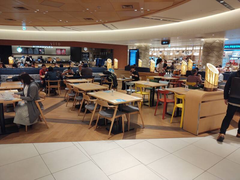
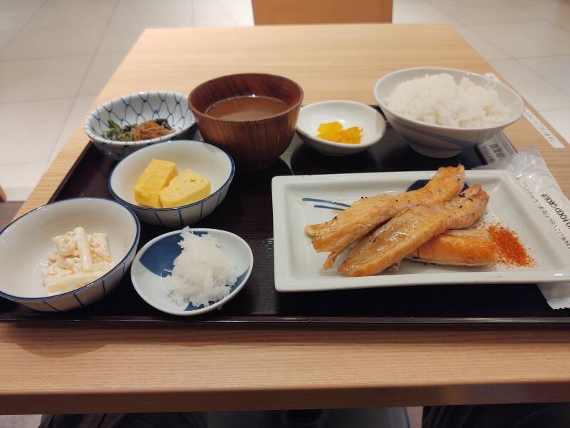
And, of course, great meals.
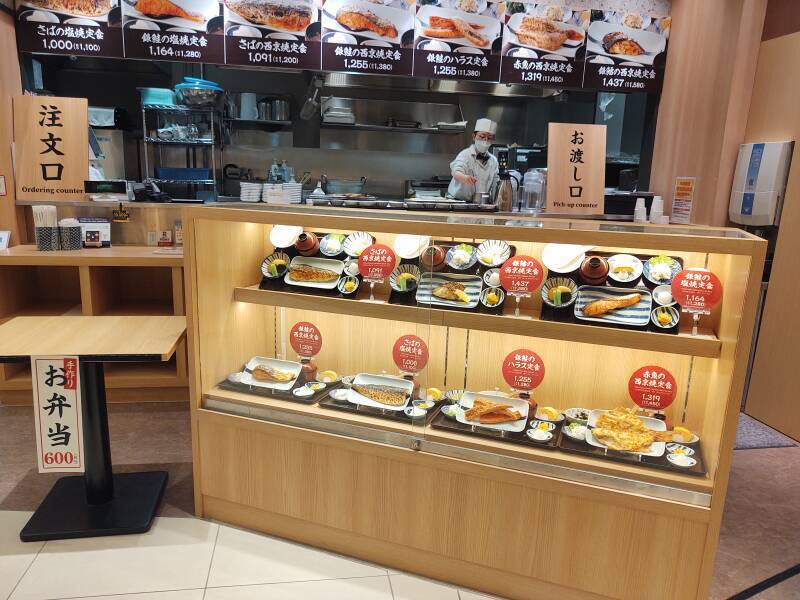
This meal cost the equivalent of about US$ 8.50. A not-at-all-good sandwich at a U.S. airport would cost at least twice that, as would a glass of beer. And you could try to eat your sandwich while sitting on a cramped seat, holding everything in your lap while being jostled by people trying to be the first one onto their plane.
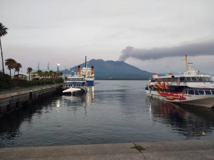
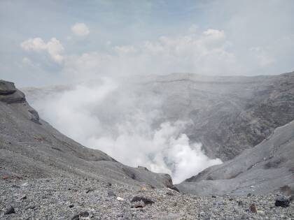
After a great lunch and a stroll through the airport, I boarded my onward flight to Kagoshima. That city lies just across a narrow bay from Sakurajima, an active volcano. While on Kyūshū I would also see Mount Aso, Japan's largest active volcano; some prehistoric tombs around Oita; and the Usuki Stone Buddhas.
Next❯ Kyūshū — volcanos, prehistoric tombs, and stone Buddhas
Other topics in Japan:
Amazon 1839059796
Amazon 1640975438