Valles Caldera
Valles Caldera
Valles Caldera
is a broad volcanic caldera
near Los Alamos in northern New Mexico.
It was formed in large eruptions
1.61 and 1.25 million years ago.
A caldera is the result of
a large chamber of molten lava emptying
through a strong eruption
and then collapsing into a shape like a large cooking
cauldron, based on the same word.
Further eruptions have continued,
with the last significant one about 69,000 years ago.
The geothermal system is still active,
with hot springs and fumaroles emitting vapor and gases.
The Jemez Mountains appear in yellow on the below map.
Valles Caldera appears as a circular structure near
the center, with a 11,254' peak near its center.
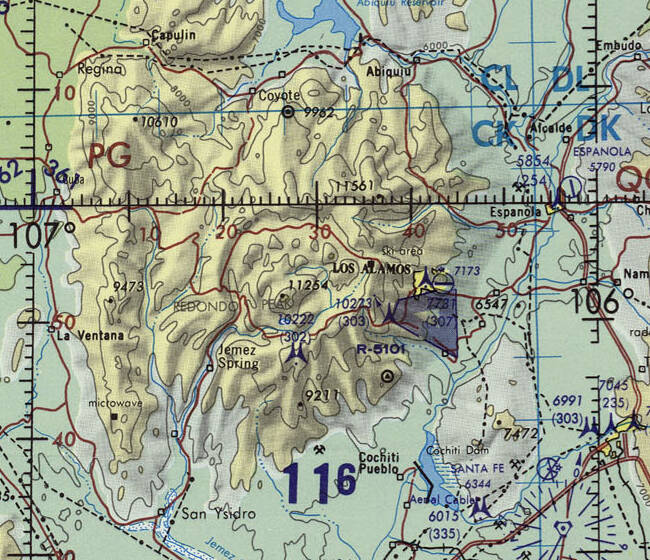
1:1,000,000 scale Operational Navigation Chart ONC G-19 from the Perry-Castañeda Library Map Collection at the University of Texas at Austin.
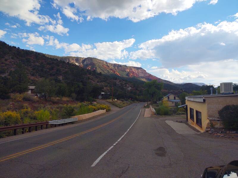
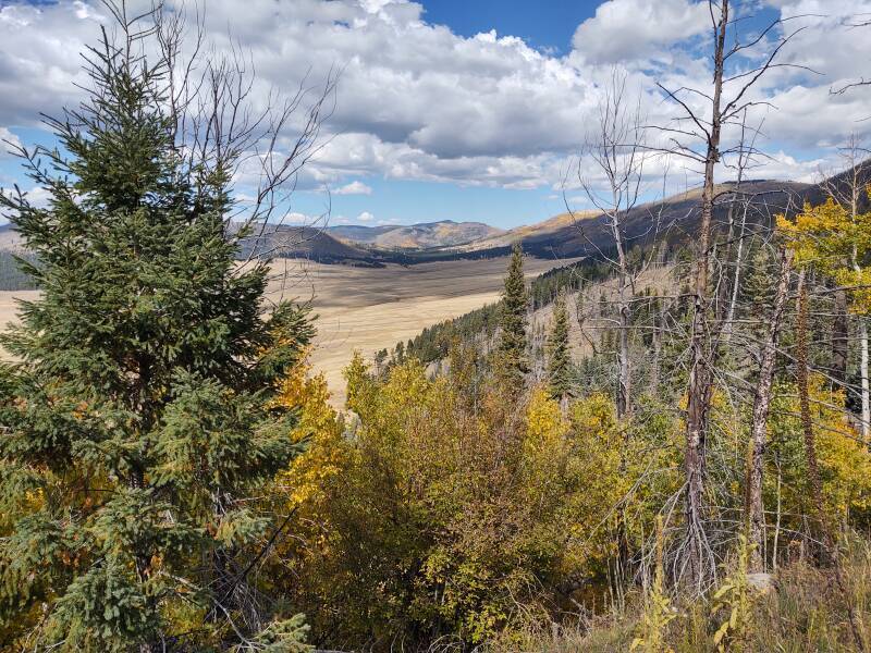
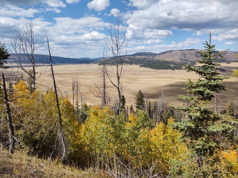
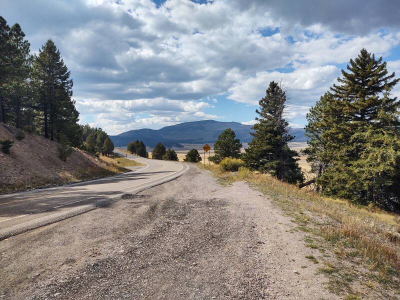
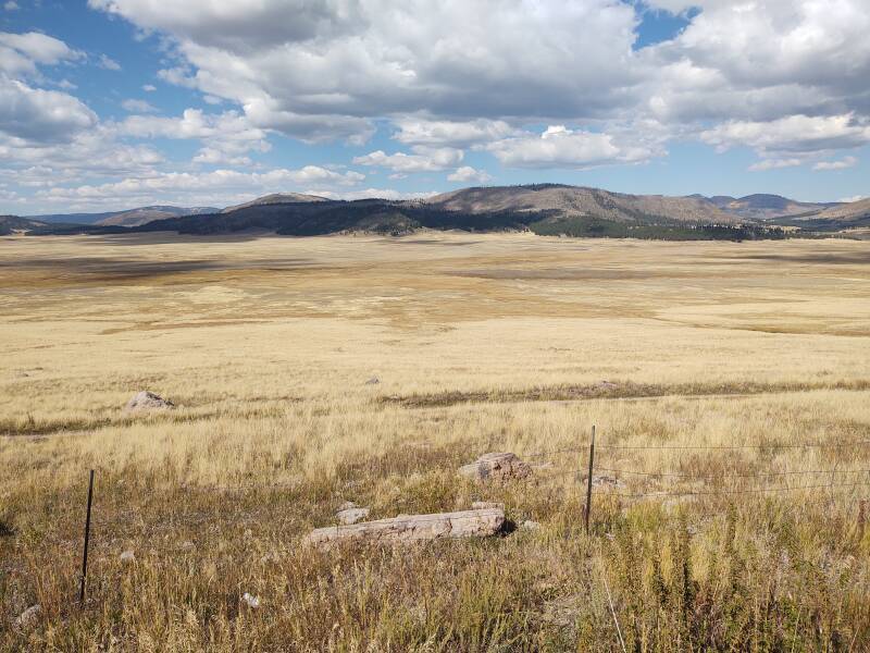
The caldera appears more clearly in this finer scale map. A dark red road runs around most of its inner perimeter. I had been at Los Alamos and continued along New Mexico Highway 4 around the south perimeter of the caldera. There are fantastic views all along this drive.
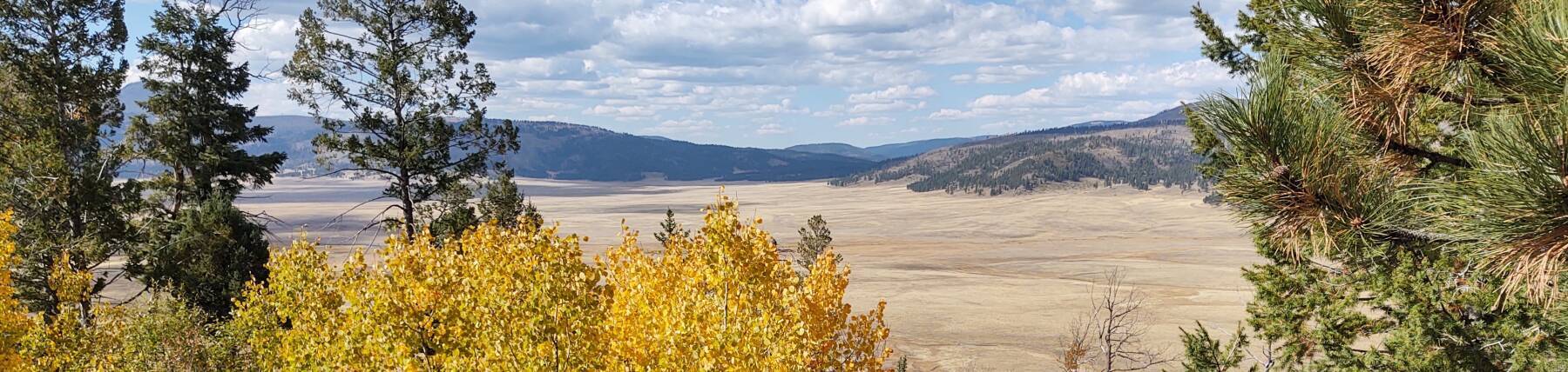
The caldera floor is flat and appears here in a lighter shade. A darker shade marks the higher encircling rim and volcanic peaks that developed after the main collapses and caldera formation. The town of Los Alamos is in pink, to the east, adjacent to the Los Alamos National Laboratory, the main nuclear weapons design lab, in Restricted Airspace R-5101.
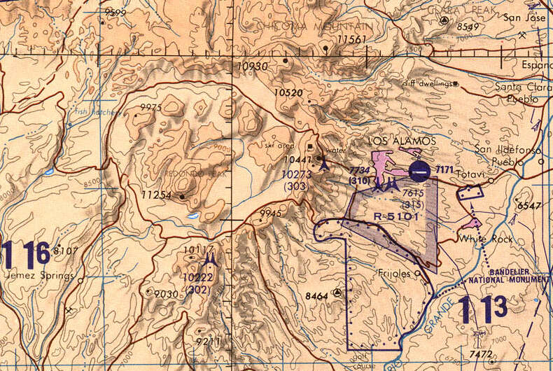
1:500,000 scale Tactical Pilotage Chart TPC G-19C from the Perry-Castañeda Library Map Collection at the University of Texas at Austin.
This caldera is roughly 22 kilometers across. The floor is at about 8600 feet elevation, surrounded by a rim 1000 to 2000 feet (or 300–600 m) higher.
There are also collapsed lava chambers on other planets and on our Moon. Without the Earth's weather, they may remain much as they initially collapsed.
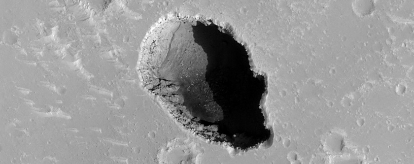
Collapsed lava chamber in the Hephaestus Fossae area on Mars, from the NASA/JPL-Caltech/UArizona HiRise instrument. See the Phys.org article "A collapsed Mars lava chamber seen from space".
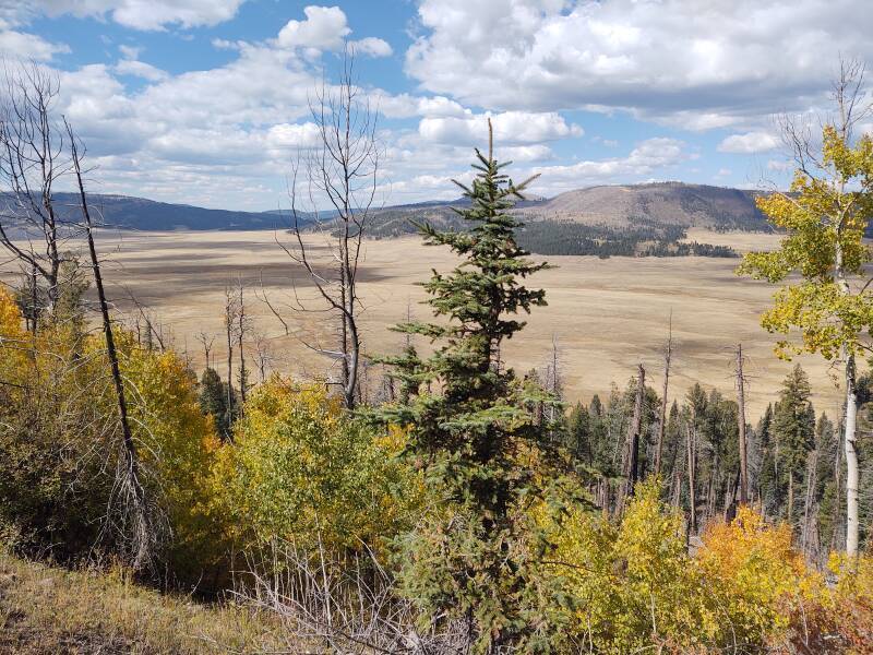
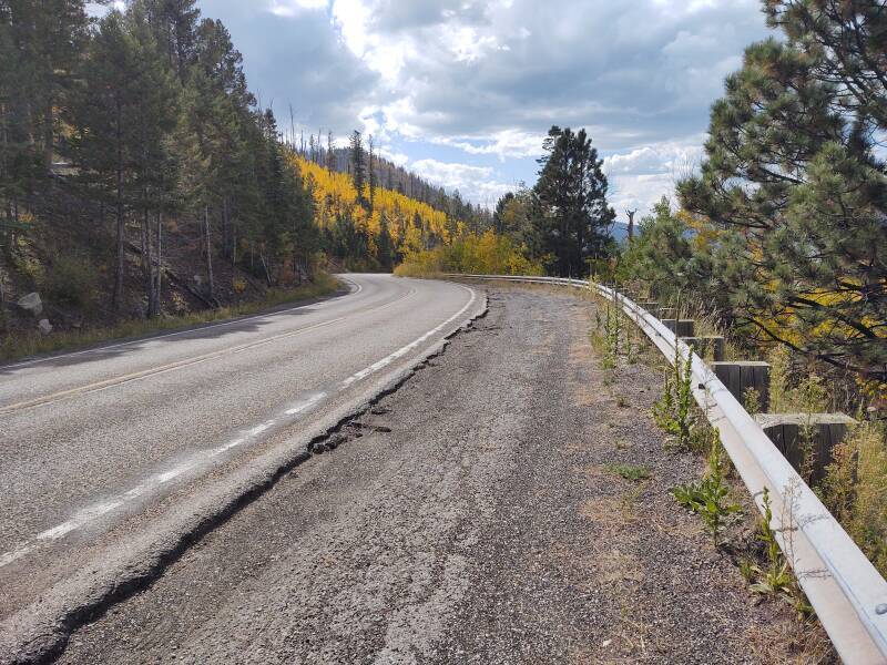
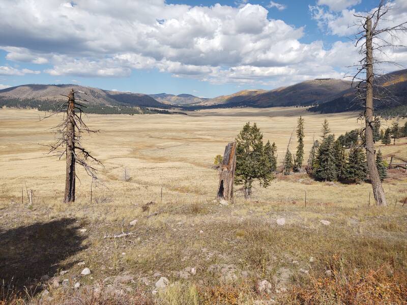
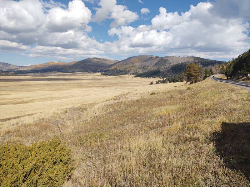
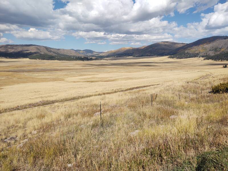
Back to Earth, specifically New Mexico, here's the view from the highway coming down the southeast part of the rim, looking north:
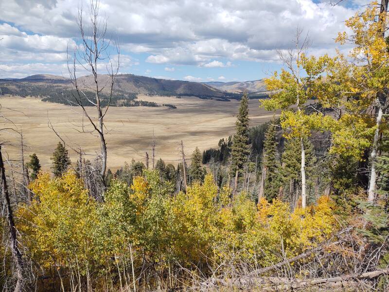
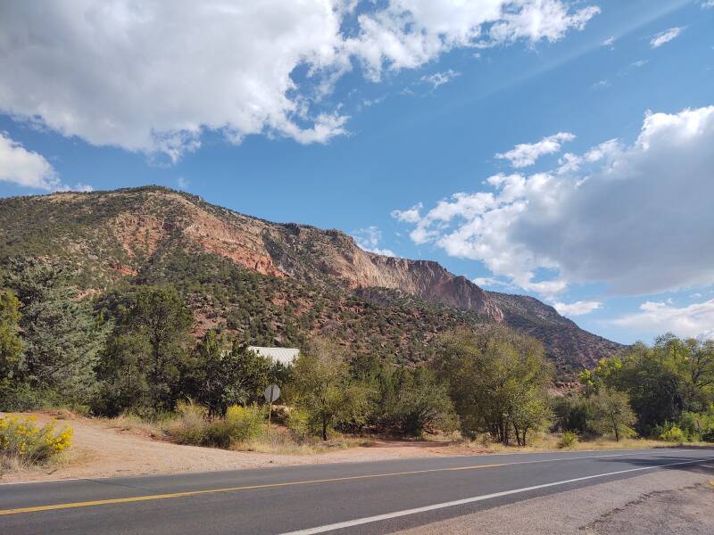
And from the same spot, looking northwest:
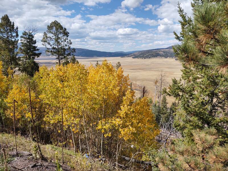
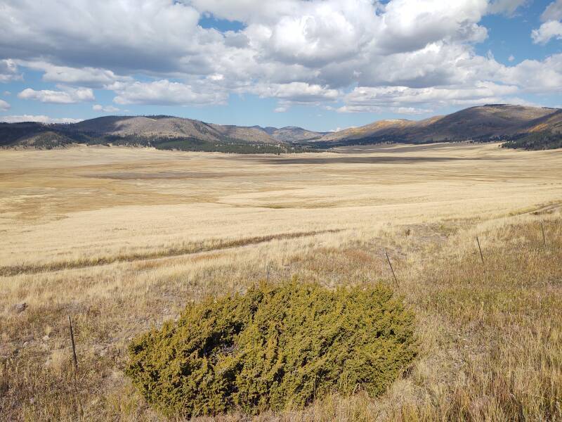
I'll continue down the road to another viewpoint.
This caldera formed in two enormous eruptions 1.6 and 1.25 million years ago. Smaller eruptions since then have continued to modify the terrain.
There seems to still be a magma chamber 5–15 kilometers below the surface. The most recent significant eruption occurred about 69,000 years ago. It produced a flow of obsidian, a volcanic glass.
Native people began using the obsidian about 11,000 years ago. They could produce extremely sharp blades and arrow and spear points with it. They then began trading the obsidian raw material and finished products across much of what now is the southwestern U.S.
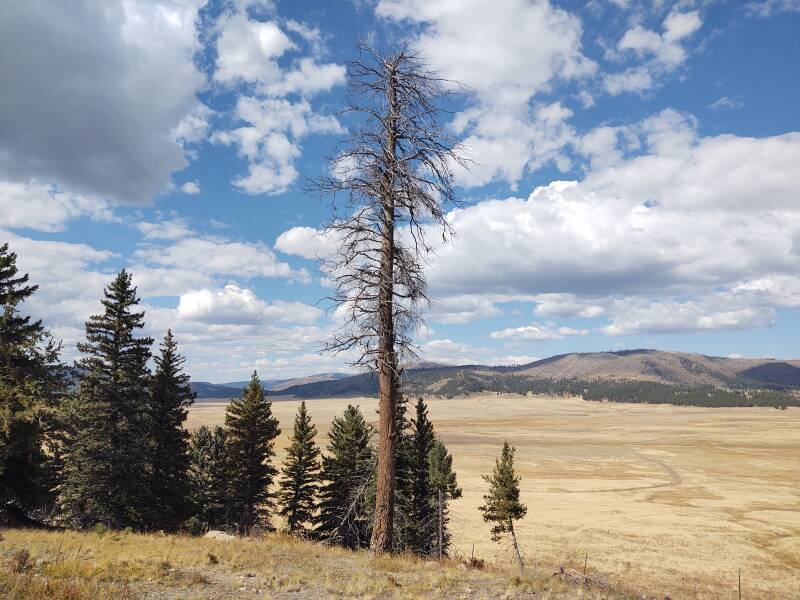
And further along yet:
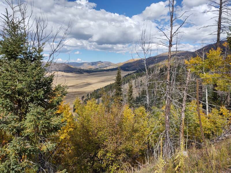
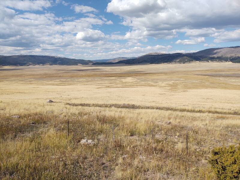
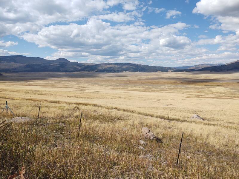
The road will eventually reach the broad, flat caldera floor.
More recently, Valles Caldera went through history similar to that across much of the American West. White settlers attempted to kill all the natives that they couldn't drive off their ancestral lands. Wealthy families become more wealthy when the government granted them huge tracts of land. And, there has been overgrazing and excessive logging on huge scales.
Valles Caldera became the Valles Caldera National Preserve, part of the National Park System, in July 2000. Some tracts that are sacred sites to Native Americans were set aside and are now under the jurisdiction of the Santa Clara Pueblo.
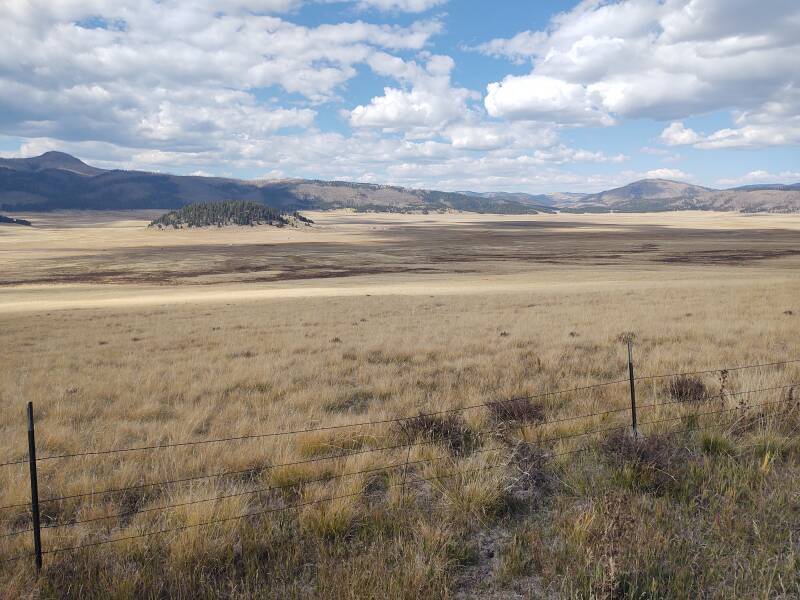
Here I have turned to look back to the northeast, with the highway from Los Alamos at right.
Looking north:
Northwest:
And west:
NASA used the caldera in the mid 1960s to train Apollo astronauts to recognize volcanic features, preparing them for missions to the Moon.
The small looking mound left of center is Cerro la Jara, a rhyolite lava dome about 75 meters high. It was formed when viscous glassy lava slowly flowed up from below.
Santorini,
officially Θήρα
or Thira,
is a Greek island in the Aegean that was turned into
a steep sloped rim around a caldera in an enormous
explosion around 1600 BCE.
Μήλος
or
Milos
is another Aegean island with a large flooded caldera,
and abundant obsidian deposits that entered long-distance
trade millennia ago.
Visiting Thira
Visiting Milos
Mount Aso or Aso-san
is a gigantic caldera near the center of
Kyūshū, the large southern island of Japan.
Kagoshima is similarly large,
at the southern tip of Kyūshū.
It's flooded, open to the ocean at the southern end.
Visiting Mount Aso
Visiting Kagoshima
All of those, along with Valles Caldera, are still active. Valles Caldera has fumaroles where hot volcanic gases are emitted, natural gas seeps, and hot springs. And, a nearby prominent highly mineralized hot spring is my next stop.
Jemez Soda Dam
The hot springs in and around the caldera and draining away to the south are very rich in minerals. The Jemez Springs Soda Dam has been formed by a group of fifteen hot springs forming a bridge out of calcium carbonate over the Jemez River. You can also notice some whiffs of hydrogen sulfide. It's along NM 4 as you continue to the south, near the village of Jemez Springs.
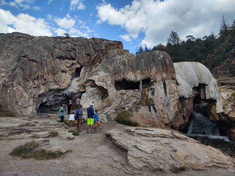
The area was settled about 4,500 years ago. When the Spaniards became the first Europeans to visit the area in 1540, they found several Native American pueblos or villages along the river.
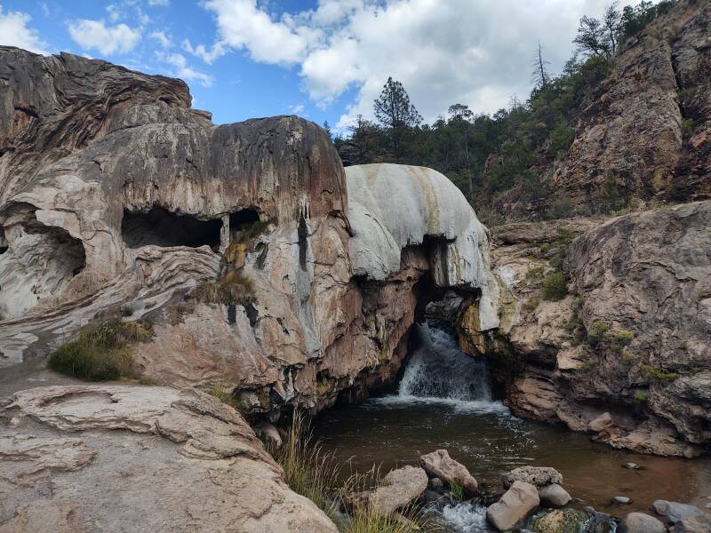
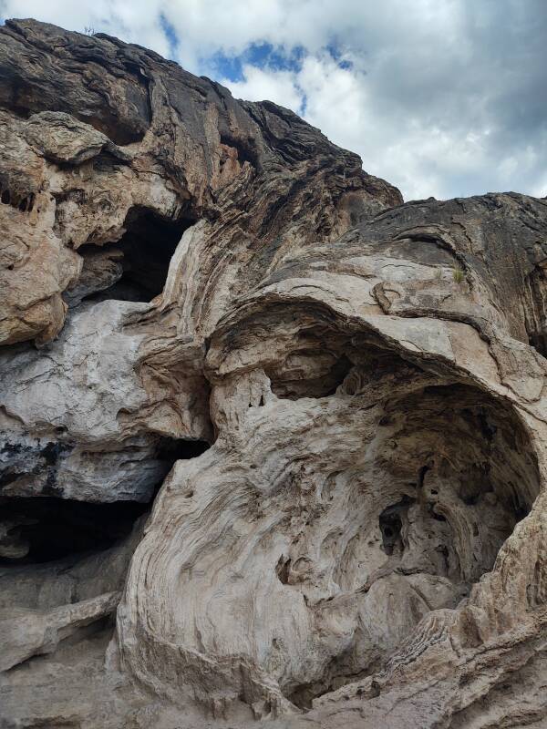
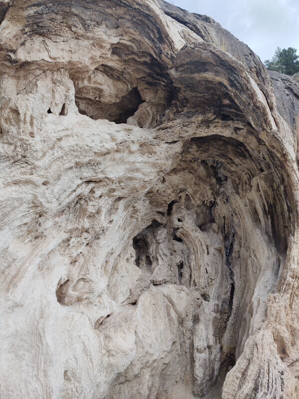
The calcium carbonate contains filaments of algae. So, NASA has also been here, investigating methods to search for signs of ancient life on Mars.
I continued south through Jemez Springs on my way back to Albuquerque.