Finding Your Way in Japan
Japanese Addresses
Addresses in Europe and North America are based on
the streets.
The streets with names and numbers are the grid,
the blocks are the unnamed spaces between them.
But in Japan the streets have no names.
Addresses are defined by numbered blocks.
Streets are the narrow nameless spaces between the blocks.
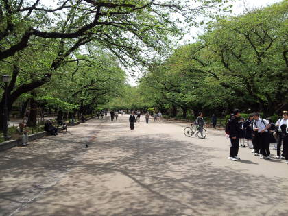
You first find the neighborhood,
then the block,
and then the building on that block.
The good news is that maps and assistance are available.
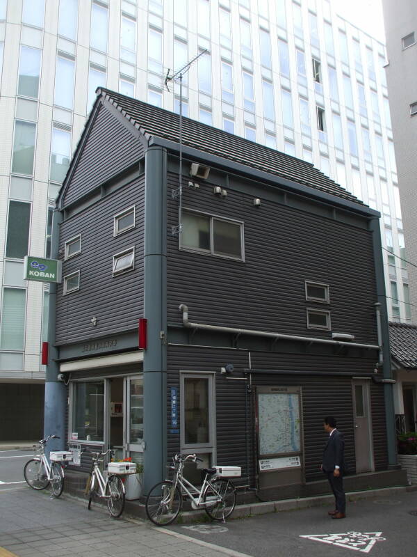
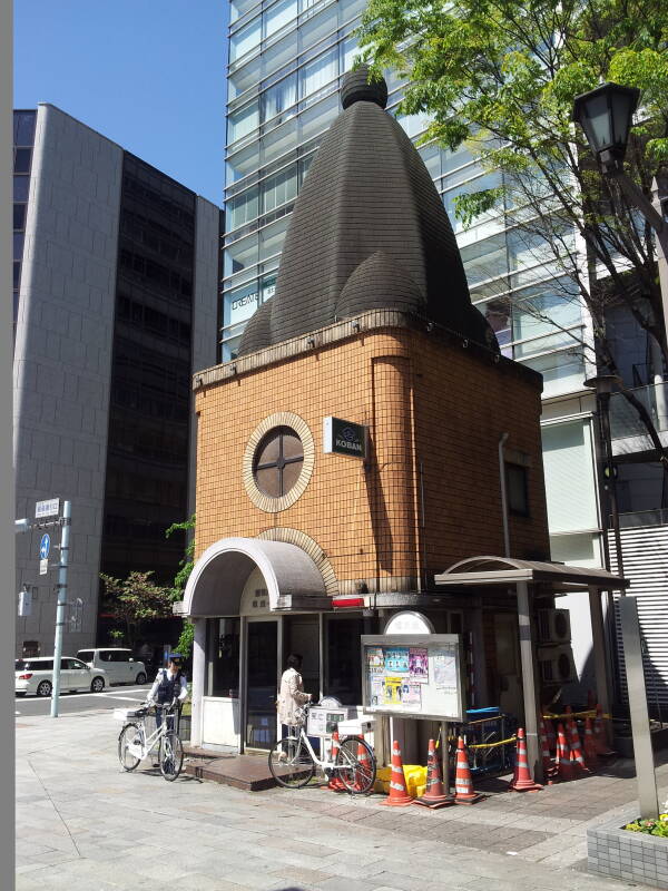
Look for a kōban,
a small police post, like the one seen here.
It will have a map.
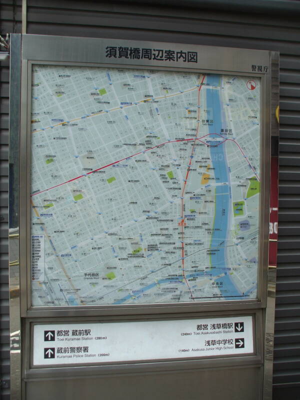
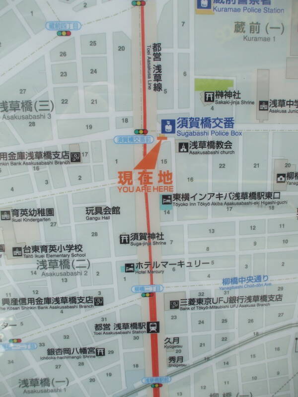
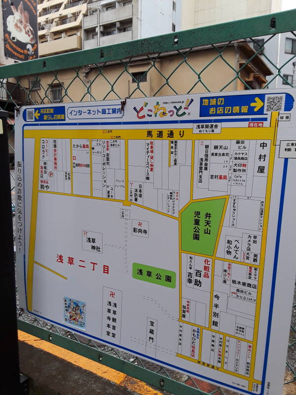
This map shows Kaminarimon, within Taito City, within Tōkyō. It's an area four blocks north to south and about 7 blocks east to west if we just count the larger streets, 13 blocks of varying length if we walk along the central east-west street and count every side street. If you zoom in a step or two you will begin to see block numbers. But there are almost no street names!
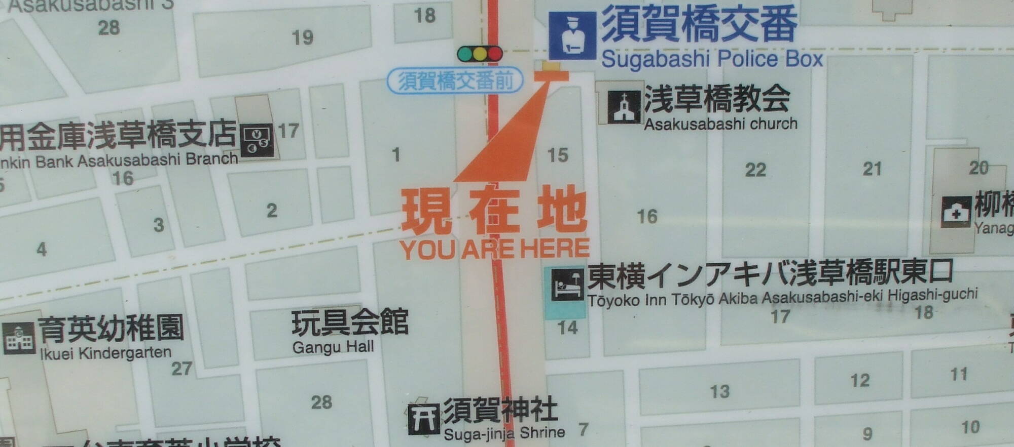
Here is the map on the side of the Sugabashi Police Box. The next police box and map is just 200 meters to the north.
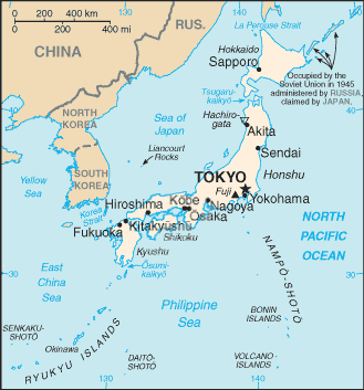
Tōkyō is divided into 23 wards or ku. One example is Taitō-ku.
Within Taitō ward there is Asakusa machi. The machi or districts are then divided down into chōme or neighborhoods.
Blocks are numbered in a somewhat organized order. Maybe a clockwise spiral, or maybe scanning back and forth.
Buildings on each block are then ordered by age. The first one built is #1, then the second oldest is #2, even if it's on the opposite side of the block.
Sometimes blocks are renumbered to put the building numbers in increasing order as you walk clockwise around the block. In that case they may skip some numbers for later use if it seems likely or at least possible that new buildings might be inserted.
Detailed maps go down to block numbering, possibly to building numbers.
Amazon
ASIN: 1568364458
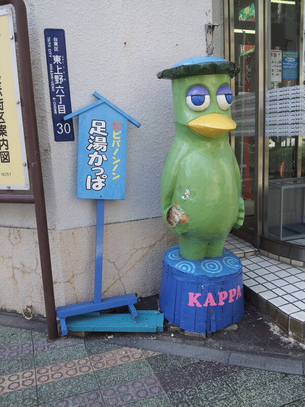
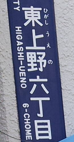
Here's a sign with added romanji, next to a kappa statue. We're in Taitō city or Taitō-ku, in the Higashi-Ueno machi, 6-chōme, at a corner of block 30.
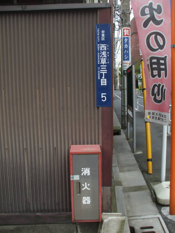
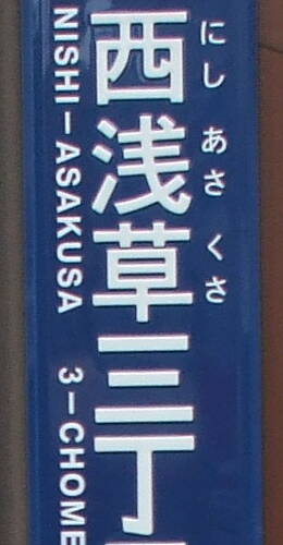
And above, another, in Taitō-ku, Nishi-Asakusa machi, 3-chōme, at the corner of block #5.
Katakana andHiragana
Zooming in long after I was there, I feel a little less
stupid when I see that the sign includes hiragana
phonetically spelling out the kanji:
ひがし
うえの
hi-ga-shi u-e-no
にし
あさくさ
ni-shi a-sa-ku-sa
Amazon
ASIN: B0012IJEBU
This kōban is close to Tōkyō Station, the city's main train station.
Below is the Kuramae police box, like a tiny castle with a green roof. The Toei Kuramae train and subway station is nearby, off to our left in this view.
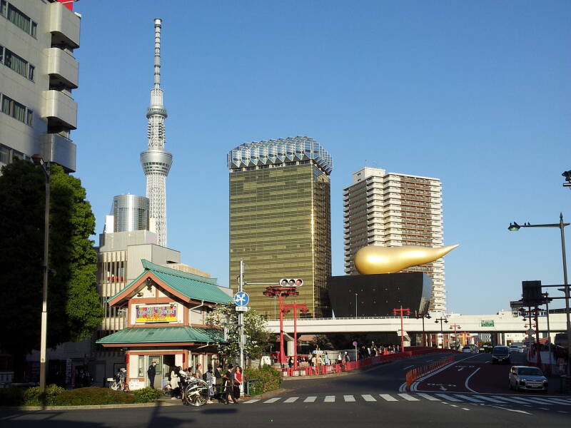
The Tōkyō Skytree is just across the Sumida river. To its right and closer are the Asahi Beer Hall and the Flamme d'Or, colloquially referred to as kin no unko or 金 の うんこ, the "Golden Poo".
I had a navigational misadventure here. I had a guidebook that mentioned a bar somewhere in this area. It listed its name, explaining that it was small and somewhat obscure, and located upstairs in a building.
Then it listed its address. However, the address was given in terms of the name of the large street I'm looking across in the above picture, plus what purported to be a street number.
I went up and down the street a few blocks each way, and of course the building numbers were chaotic. Each listed the building's rank by age for its block. Cross a side street and you're on a new block with a new chaotic number sequence.
I went to the kōban to ask directions. I had a photocopy of the relevant pages of the guide book. I had it open to the page with the business name highlighted, and I also had a map out. I was obviously a person looking for something.
The policeman outside tried to help, experimentally sounding out the romanji name of the place I was looking for. "Hai, hai! Bar-u!", I said. "Yes, yes! A bar!" But then I pointed out the address within the text. He made a puzzled face and sucked his teeth.
He took me inside to ask his partner, who was similarly stumped by the mysterious request. They got out a neighborhood directory, a book that looked up to the task of listing every resident of Tōkyō and their telephone number, and started going through it.
The directory was the size of the Chicago telephone directory, back when they printed such things, made from similarly thin pulp pages. Even if it covered all of Taitō ward, it would be adequate to list every single business, every resident, every resident's cat, and who knows how much more.
After 15 minutes of research and the use of some older copies of the directory, they determined that the location had been horribly misrepresented. But it was only about 50 meters to the north. They wrote the actual block and building number in my guidebook.
I thanked them profusely, and went to investigate. I went up and down the staircase in the 8-story building. Several of the floors housed a restaurant or a bar, but none were the one I was looking for. I had a four-year-old guidebook, and the place no longer existed.
Amazon
ASIN: B07SY92JLG
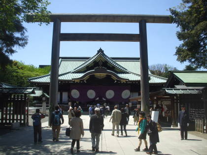
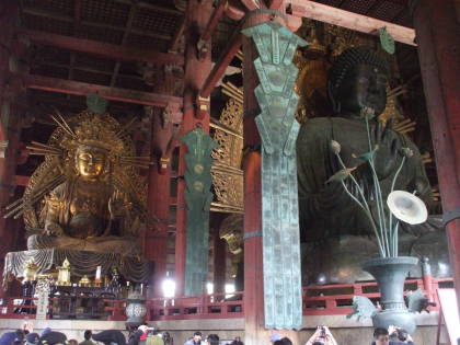
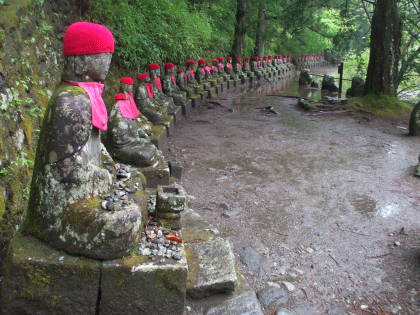
Buddhism
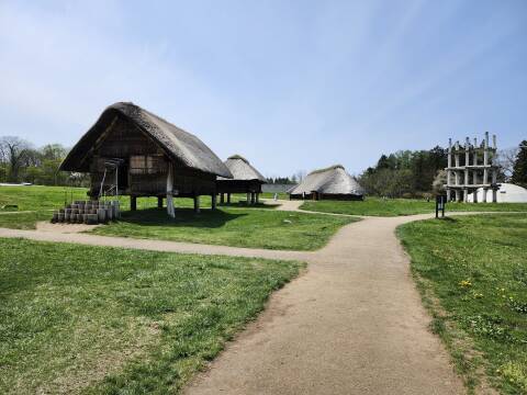
It's the cyclic rebirth of Buddhism and the impermanence of Shintō. All 125 of the shrines at the Grand Shrine complex at Ise are reconstructed every 20 years. The new shrine is built next to the current one, the kami or spirit transferred to the new shrine, and the old one disassembled.
Amazon
ASIN: 4805309660
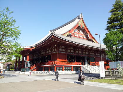
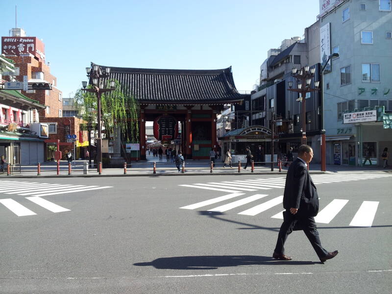
Here is a koban next to the Kaminari-mon or the Thunder Gate, the great outer gate of the Sensō-ji temple complex in the Asakusa district of Tōkyō.
This is the second most visited religious facility in the world. Plenty of people, both Japanese and foreign, will have questions for the police officers in this koban.
I was up early, still jet-lagged, and took this picture early in the morning before the crowds arrived.
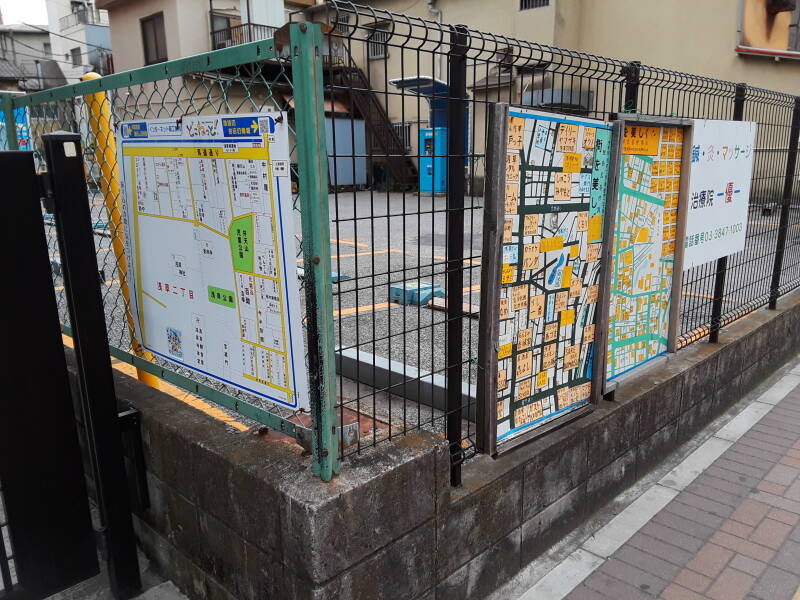
You come across maps of small areas within neighborhoods, like these on the fence around a parking lot. The maps can name businesses and organizations by building, and as with the two to the right, serve as advertising.
The above is specific to travel logistics. Maybe you're looking for information on specific places in Japan.
Amazon 1839059796
Amazon 1640975438