
Aptera
Aptera
I had been staying in
Rethymno
on the north coast of western Crete
and now moved on further to the west.
The powerful city-state of Aptera
was founded during Minoan times,
before about 1200–1100 BCE.
It prospered through Hellenistic times,
from the death of Alexander the Great
to the establishment of the Roman Empire,
323–31 BCE.
A Orthodox monastery was founded here in the 11th century.
Then the Ottoman Turks built a fortress here
after taking control of Crete in 1669.
The site has a spectacular view over Souda Bay.
Aptera was mentioned as A-PA-TA-WA or 𐀀𐀞𐀲𐀷 on Linear B tablets recording Mycenaean Greek from the 14th to 13th centuries BCE. The original Minoan settlement of the Bronze Age was about a kilometer and a half to the south.
Greek mythology says that Aptera was the site of the contest between the Sirens and the Muses. The Muses won, the Sirens lost their feathers and threw themselves into the sea. That myth might have named the place, as "Aptera" roughly means "without wings" in Greek. Or, maybe the name is a connection to Pteras, the mythical builder of the second temple at Delphi.
Aptera's archers were well known, they served as mercenaries in several conflicts outside Crete. Aptera continued to prosper and control its region and the surrounding settlements through Hellenistic times.
The Romans took control of the region, building large cisterns to support their baths.
Entering Aptera
Two especially destructive earthquakes struck Aptera in the 4th and 7th centuries CE, and then the Saracens arrived in 823 to sack what remained of the settlement.
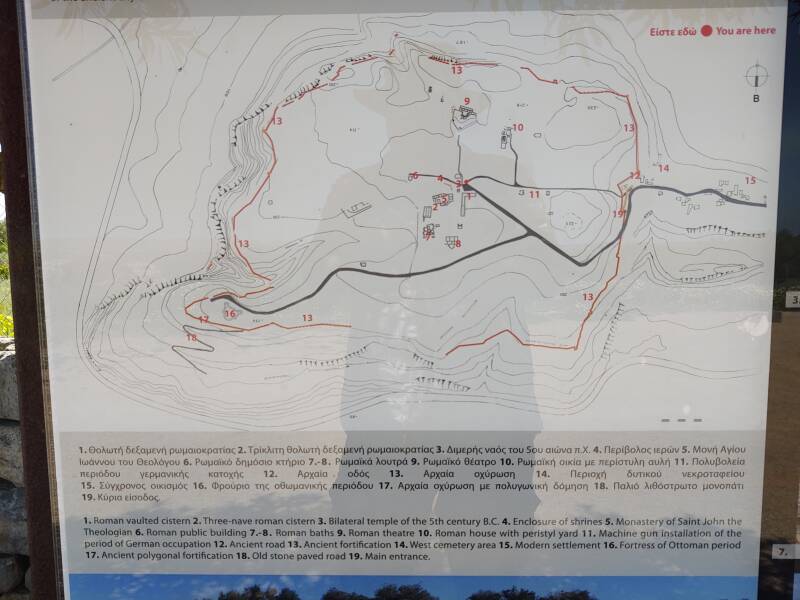
There's a nicely detailed map where you enter the site. It shows more than what's on the map they give you at the ticket office.
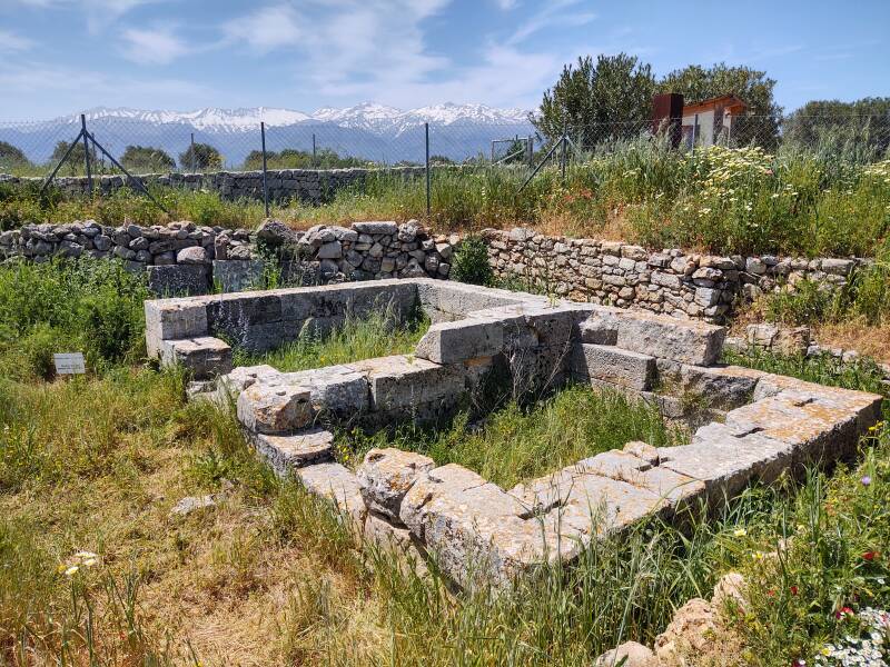
A dual temple of the 5th century BCE is an especially significant structure here. It was dedicated to a pair of deities, possibly Demeter and her daughter Kore.
Older evidence of worship was found nearby. Artemis and Apollo were worshiped here in the 8th century BCE. Artemis was the main deity of Aptera.
Archaeologists have also found a temple dedicated to Dionysus, and have found votive objects with portraits of Mercury, Zeus, Hestia, and Hera.
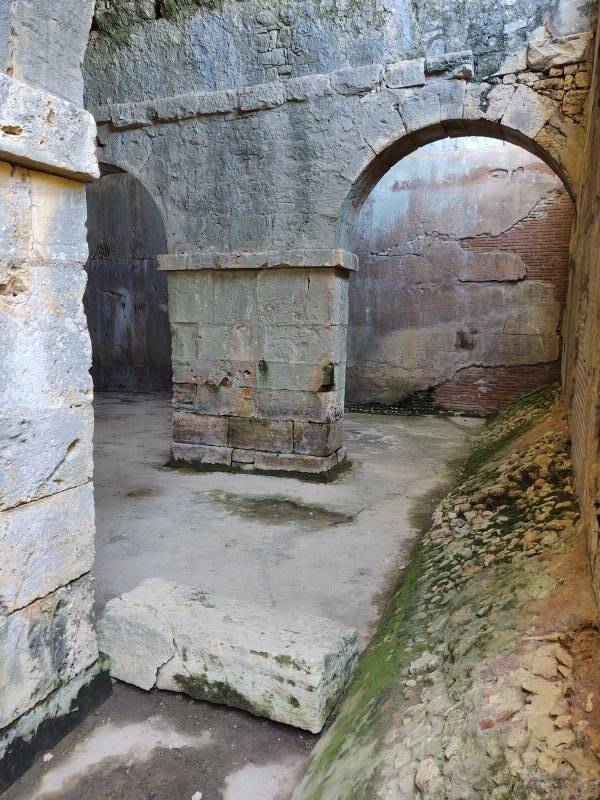
The site has large cisterns, tanks for storing water. The Romans may have renovated and extended Hellenistic ones, or maybe they built these. This one, originally covered by a vaulted roof, is in the shape of Γ or L. It had a capacity of 3,050 cubic meters of water.
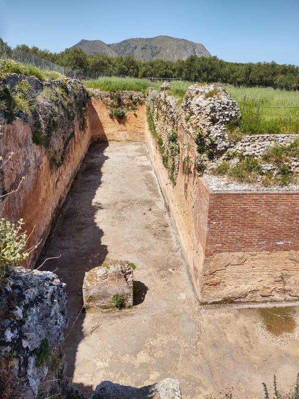
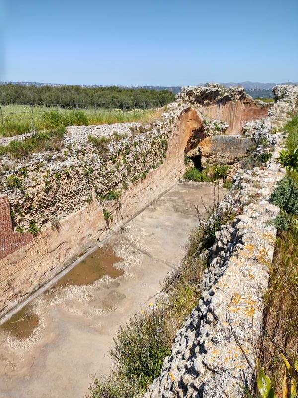
The cisterns supplied the baths, a short distance away.
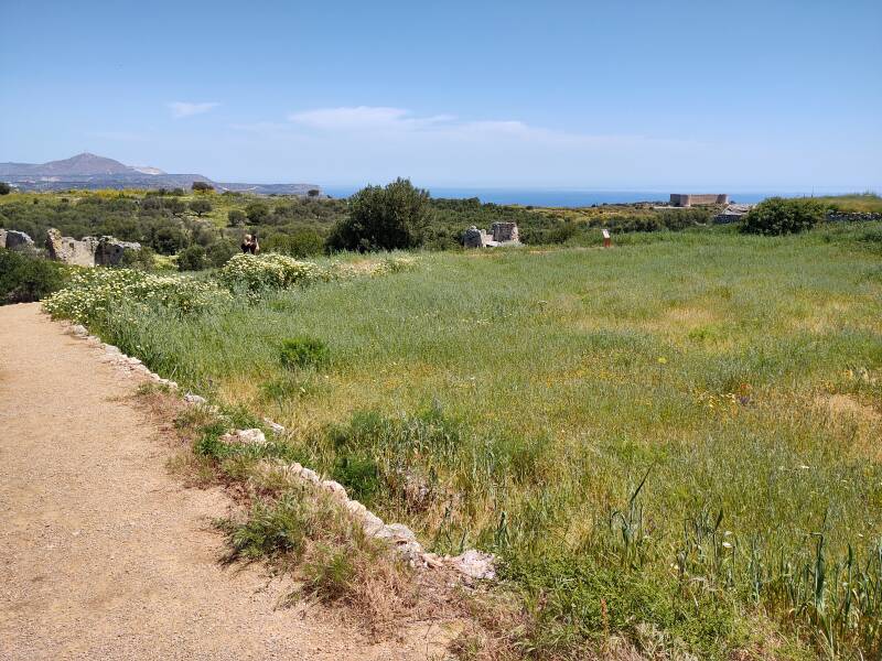
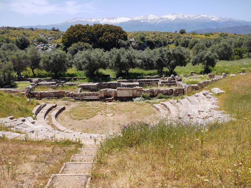
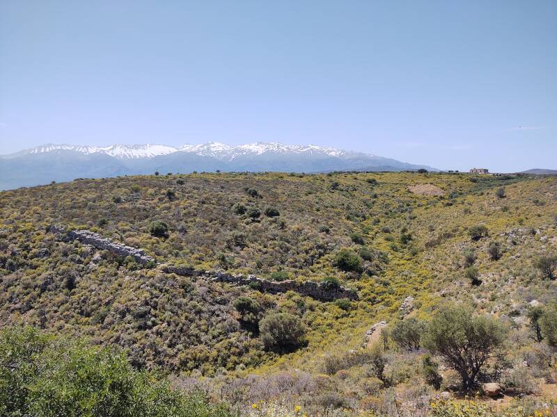
Λευκά Όρη or Lefka Ori, The White Mountains, are visible in the distance. These pictures were taken in late April, when there was still snow on the north slopes at higher altitudes. There are 30 summits over 2,000 meters, with the highest at 2,453 meters.
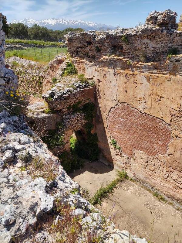
The Romans built a temple to Demeter and Persephone. Roman era statues of Dionysus, Aphrodite, and Mercury have been found. There also seems to have been a cult devoted to the Egyptian goddess Isis, which may have been established during Hellenistic times but was further developed under Roman rule.
Monastery
The 7th century earthquake and the Saracen raid of 823 left Aptera in poor shape.
VisitingPatmos
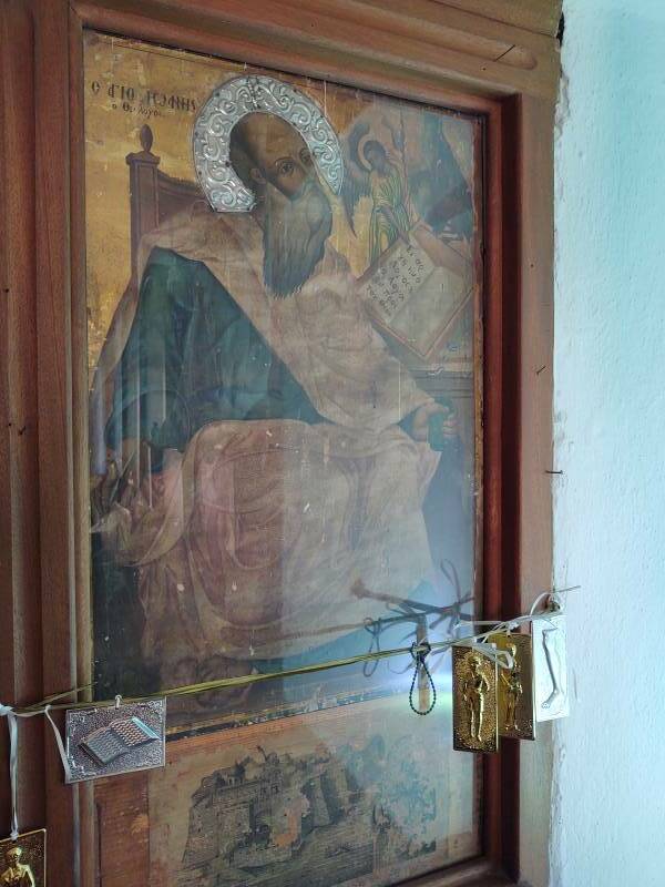
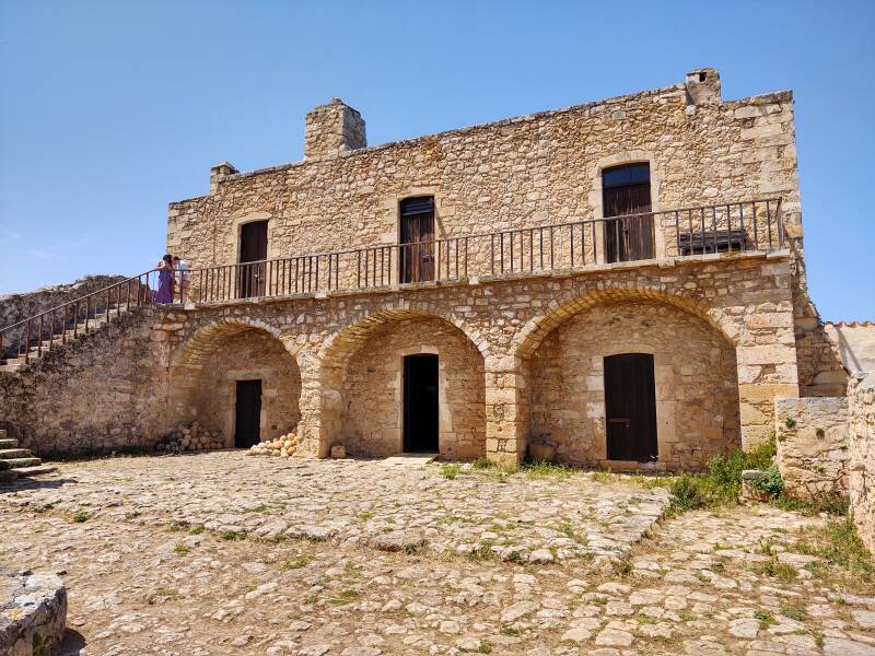
The monastery of Saint John the Theologian on Patmos established a monastery here no later than 1181 CE. The Patmos monastery had been formally established in 1088, and its construction didn't start until 1101, so this was a big undertaking so soon after its founding. This monastery operated until 1964. Now the main building houses archaeologists working at the site.
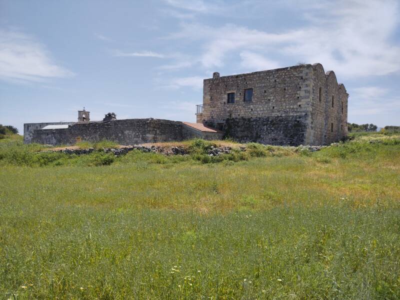
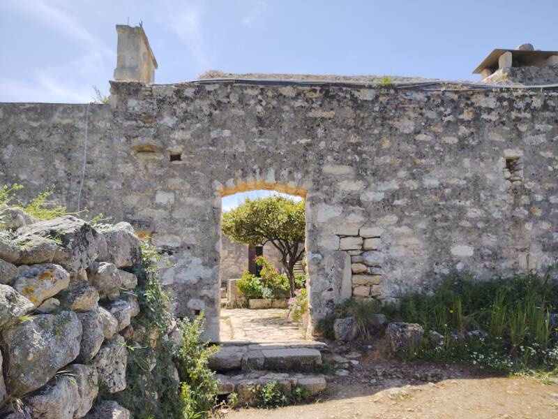
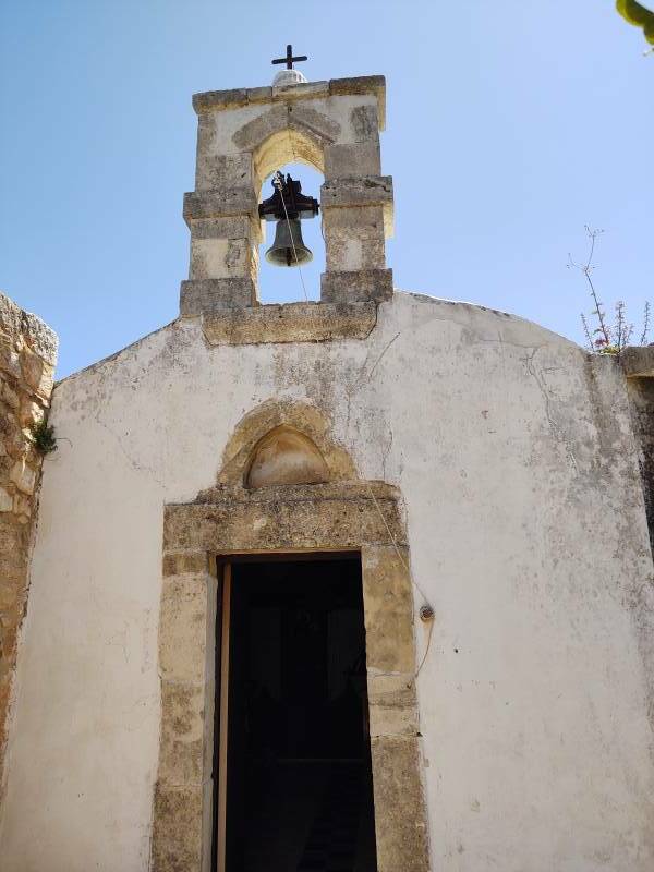
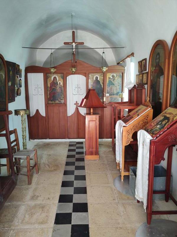
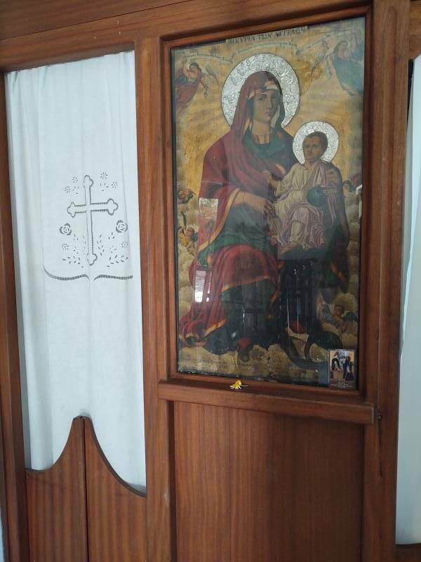
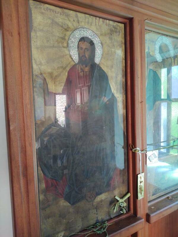
The chapel is still maintained.
Covered Cisterns
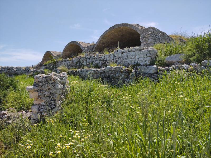
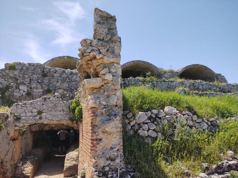
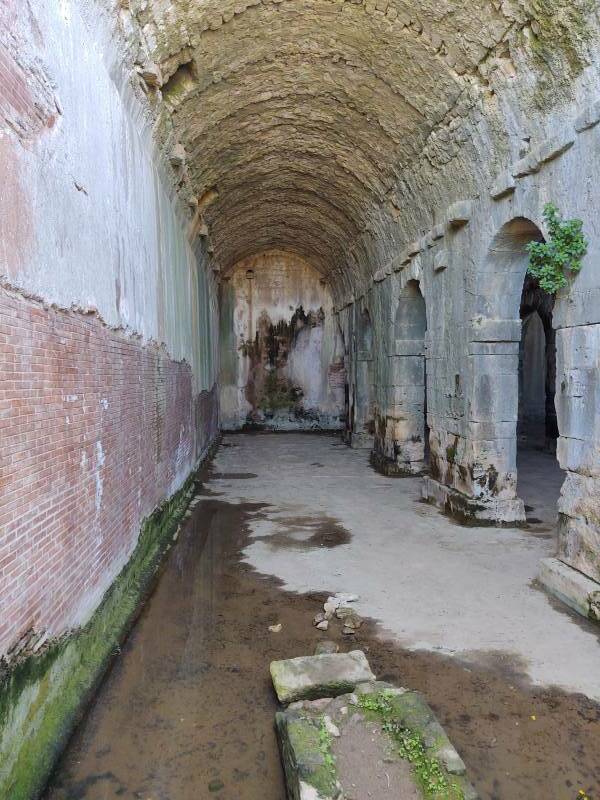
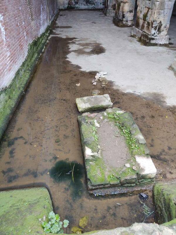
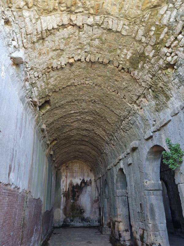
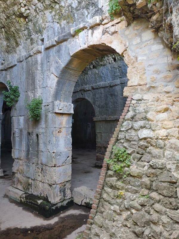
A three-compartment cistern is near the monastery. It retains its vaulted roofs. It held about 2,900 cubic meters of water and was fed by a small aqueduct and terracotta pipes.
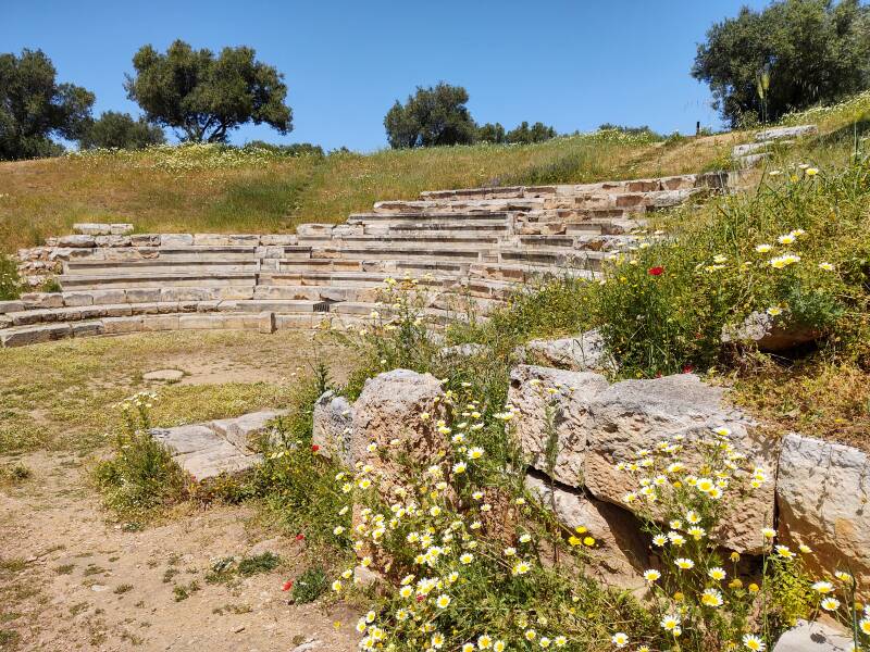
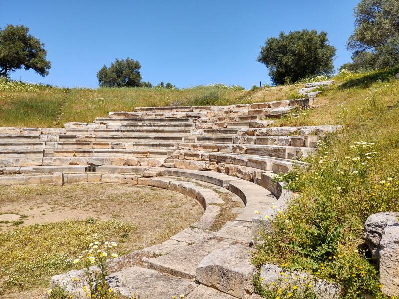
Theater
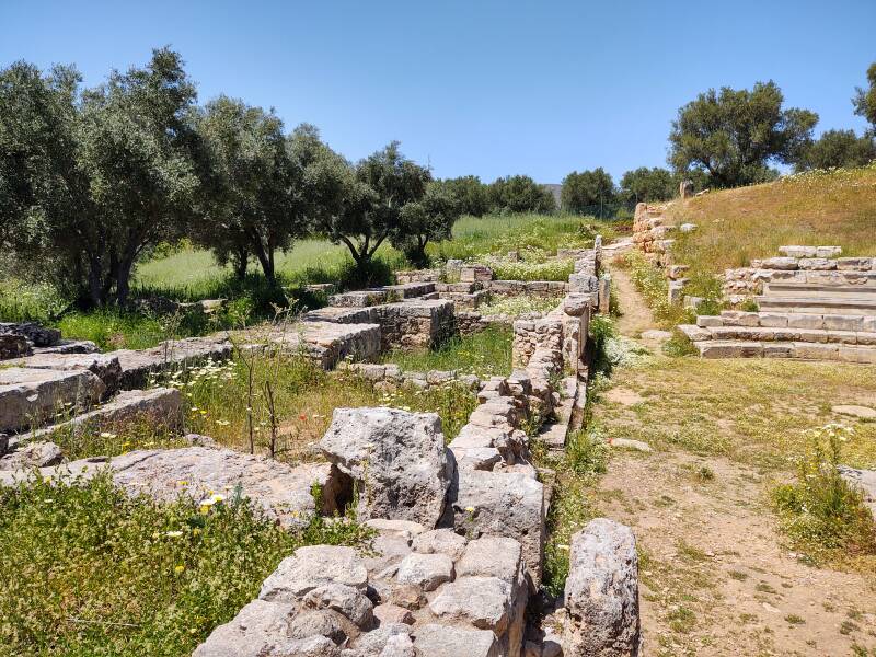
This theater was complete before the Romans arrived.
Ottoman Fortress
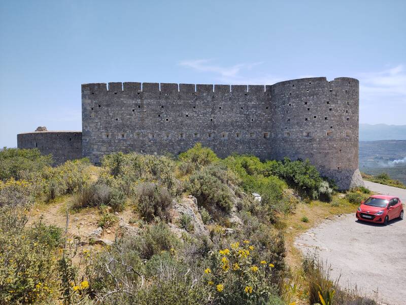
The Ottoman fortress is nearby. The Ottoman Turks took control of Crete in 1669 and didn't leave until 1898.
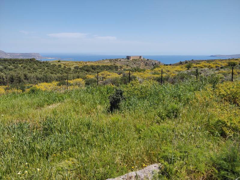
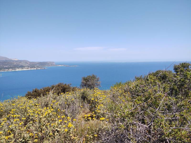
The site is about 230 meters above Souda Bay and the Aegean Sea. This view is to the west, back to the head of the bay. The city of Chania is barely visible on the distant shore.
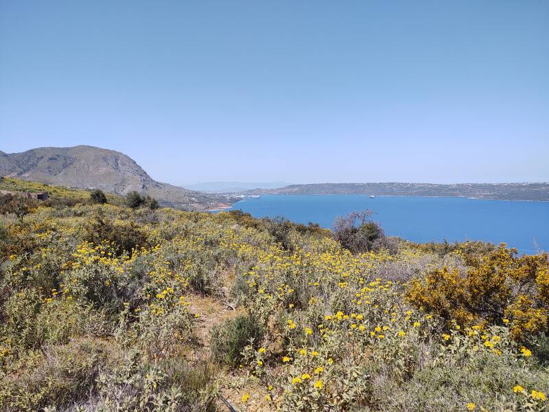
The Souda Naval Base, known to NATO as Naval Support Activity, Souda Bay or NSA Souda Bay, is directly across from Aptera on the bay's north shore. It's NATO's largest naval base in the eastern Mediterranean. It's the only deep water port in the Mediterranean that can maintain the largest aircraft carriers.
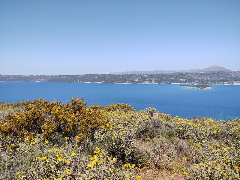
Further right, to the northeast, Souda Bay opens into the Aegean Sea.
The fortress is roughly rectangular, 35 meters long and 25 meters wide. It has two towers at the corners of the inland wall.
The inhabitants of Aptera built a wall around the city in the late 300s CE. Sections remain. It was originally 3,480 meters long.
The fortress has a traditional design, with many elements dating from way before its construction in 1866.
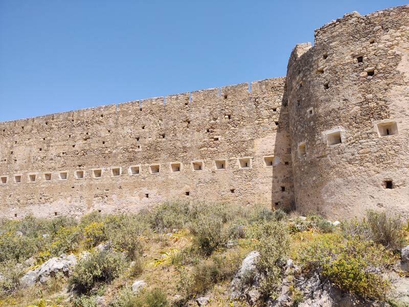
The Ottoman governor of Crete, Rauf Pasha, built the Izzeddin Fortress in 1872, naming it after the son of Sultan Abdülaziz
It began to be used as a prison after the Turks left Crete. Right-wing governments used it to imprison political opponents. Theodoros Pangalos headed a dictatorship until 1926, at which point he became an inmate in one of the prisons he had used to imprison his opponents.
It ceased to function as a prison during the German occupation during World War II, but returned to its former role in 1948. Communists and other political prisoners were imprisoned here, and some of them executed, until the end of the Colonel's Junta in 1974.
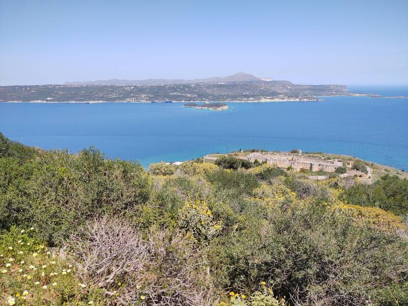
The Chania International Airport, north of the naval base on the peninsula, is a joint facility with the Hellenic Air Force, base of the 115th Combat Wing. The NATO Missile Firing Installation, a test and training range, is around the point to the right and a little further up the coast.
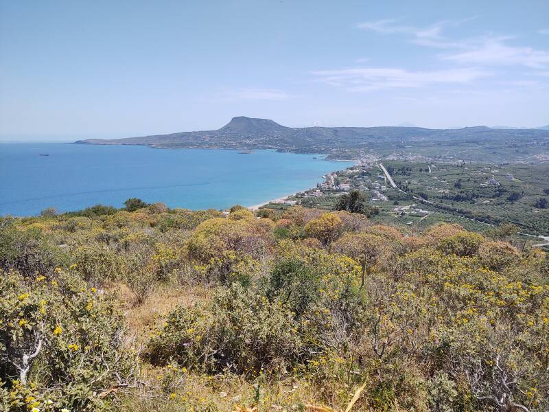
Looking to the west, you see the village of Kalyves between the shoreline and the highway. Strabo, the Greek geographer and historian, described it as having been the ancient city of Amphimatrion. There was a castle here during the four centuries of Venetian rule.
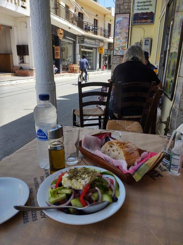
I drove down past the Izzeddin Fortress and continued on the narrow coast road to the village of Kalyves, where I got lunch.
Or, Continue Through Greece:
Where next?