South to the Libyan Sea
Driving South to Kalamaki on the Libyan Sea Coast
I was in western Crete, and had visited
Rethymno,
the ancient city of
Aptera,
and the
Minoan cemetery
at Armeni.
Now I was headed for the south coast.
I would stay in Kalamaki
while visiting ancient sites in that area.
I would get there via Spili
and Agia Galini.
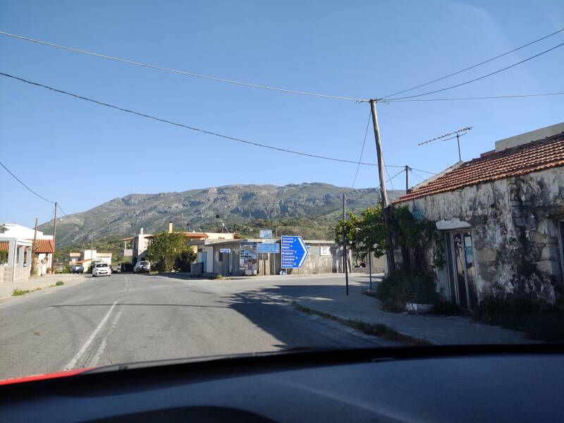
It's a two-lane highway south from Rethymno, continuing past the Minoan cemetery at Armeni.
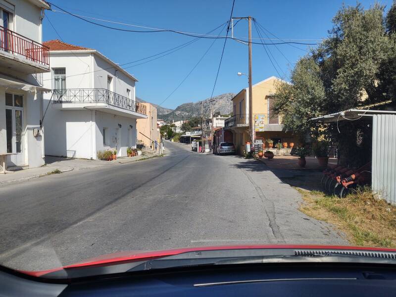
Σπήλι or Spili sits below the western slope of Mount Kedros. The town seems to have been established when this area was controlled by the Byzantine Empire. Now, with less than 600 inhabitants, it's the seat of the Holy Metropolis of Lampi, Syvritos, and Sfakion, one of eight dioceses in Crete, and the home of the Association of Scientists of the Municipality of Lampi.
Residents of Spili were active in the Cretan Resistance against the German occupation of 1941–1944. They were members of the EAM or National Liberation Front, and the EOR, a branch of the EEC or National Organization of Crete.
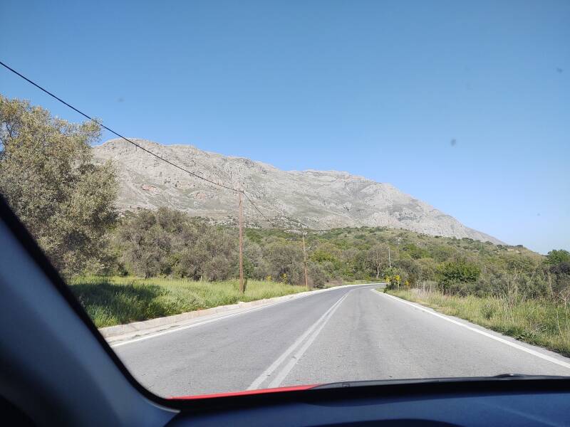
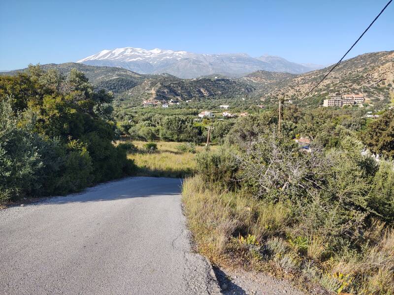
Mount Kedros is a southwestern extension of the Psiloritis massif. Springs on the mountain provide water for the town. Psiloritis water is bottled and shipped throughout Greece.
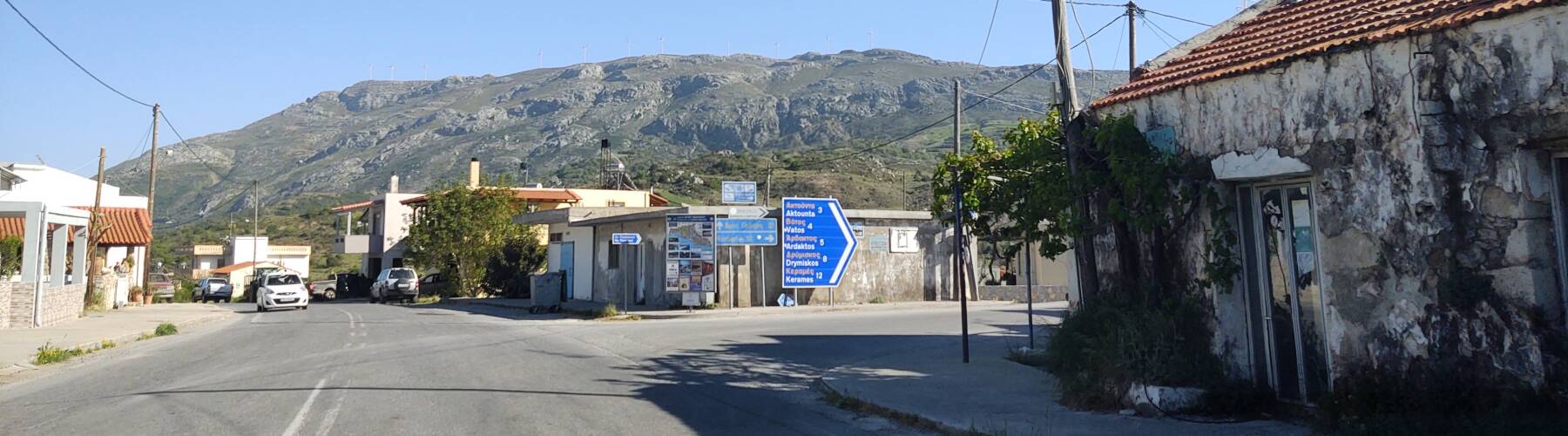
South of Spili a road branches off to Aktounta, Vatos, Ardaktos, Drymiskos, Kerames, and several other small towns and beaches.
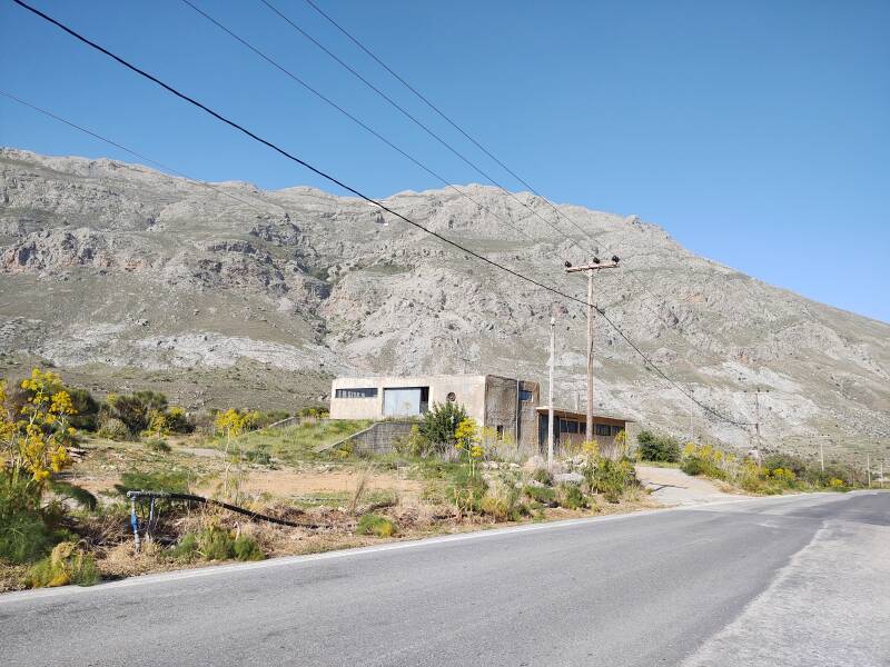
The road continues south between Mount Kedros and Mount Siderotas.
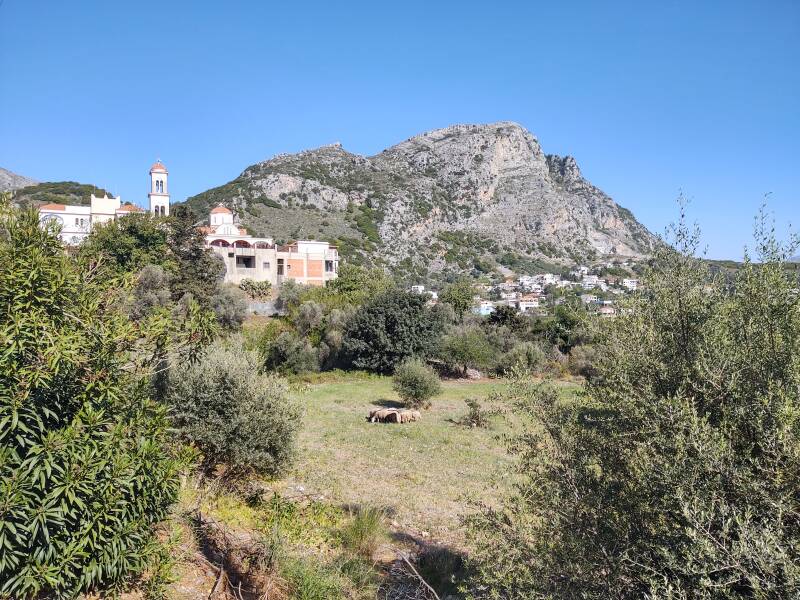
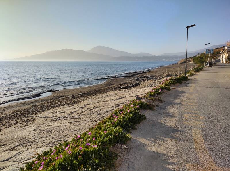
Αγία Γαλήνη or Agia Galini is on Messara Bay, opening into the Libyan Sea. According to tradition, Daedalus and Icarus escaped Crete by taking flight from a large rock next to the port.
Well, they both escaped from Crete. But only Daedalus survived the flight.
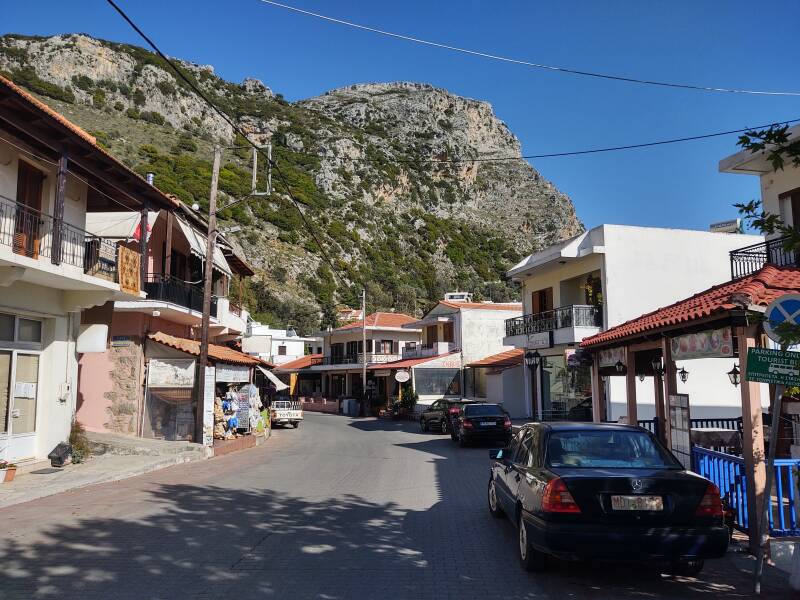
Agia Galini was the first place on the south coast to be developed as a holiday resort. In high season it's packed with foreign visitors. In late April, when I was there, most places were open but there were no crowds.
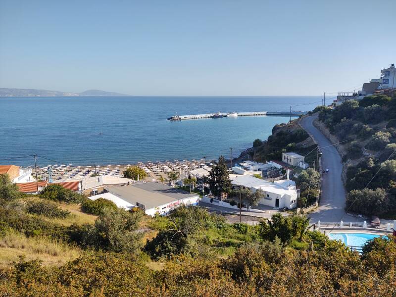
Agia Galini was built on the ruins of the ancient city of Soulia, which was the port of ancient Syvritos. The ruins of a temple to Artemis are next to the Platis river where it passes through the town while entering the sea. Soulia flourished until a Saracen pirate raid destroyed it in 640 CE.
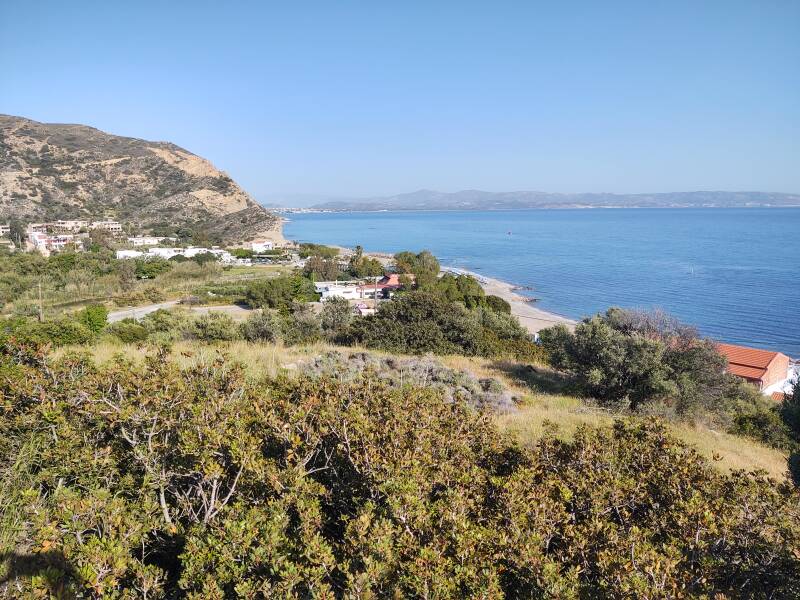
Kalamaki is about ten kilometers down the coast, visible in the distance in the southeast.
The highway toward Kalamaki loops inland through the Platis river valley before turning south to Tibaki.
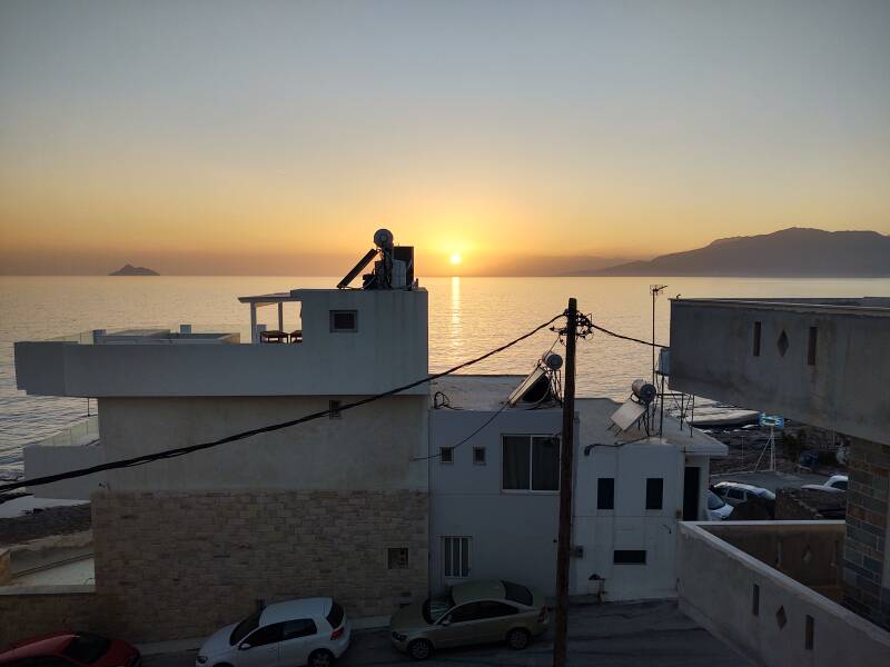
At Tibaki I turned off the highway, taking a local road south to Kamilari and then turning west to Kalamaki. Here is the view northwest from where I stayed in Kalamaki, looking back to Agia Galini.
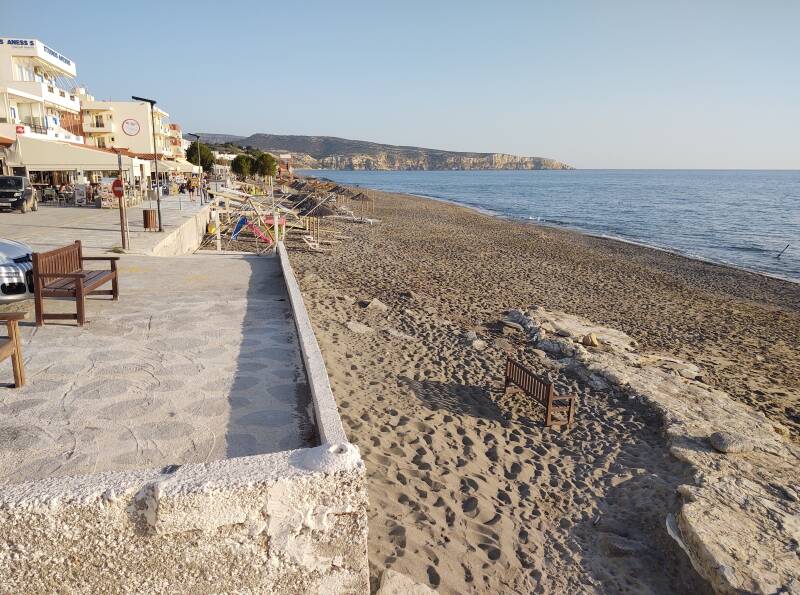
And the view south along the coast, past Kommos to Matala
The balcony of my room in Kalamaki had a nice view to the west over Messara Bay into the Libyan Sea.
Or, Continue Through Greece:
Where next?