M'Hamid el Ghizlane
Exploring M'Hamid el Ghizlane
Sahara DreamsDesert Trips
The town's full name is M'Hamid el Ghizlane, meaning
"plain of gazelles".
But it's the most prominent M'Hamid,
and the most likely for a foreign visitor to be headed toward,
so simple "M'Hamid" is usually specific enough.
It's south of Zagora, in Morocco's southeast
just 25 kilometers from the Algerian border,
at the end of the highway southeast from Marrakech.
It's the starting point for treks into the desert,
especially to Erg Chigaga where I wanted to go.
It's also a nice place to relax for a few days, as I did.
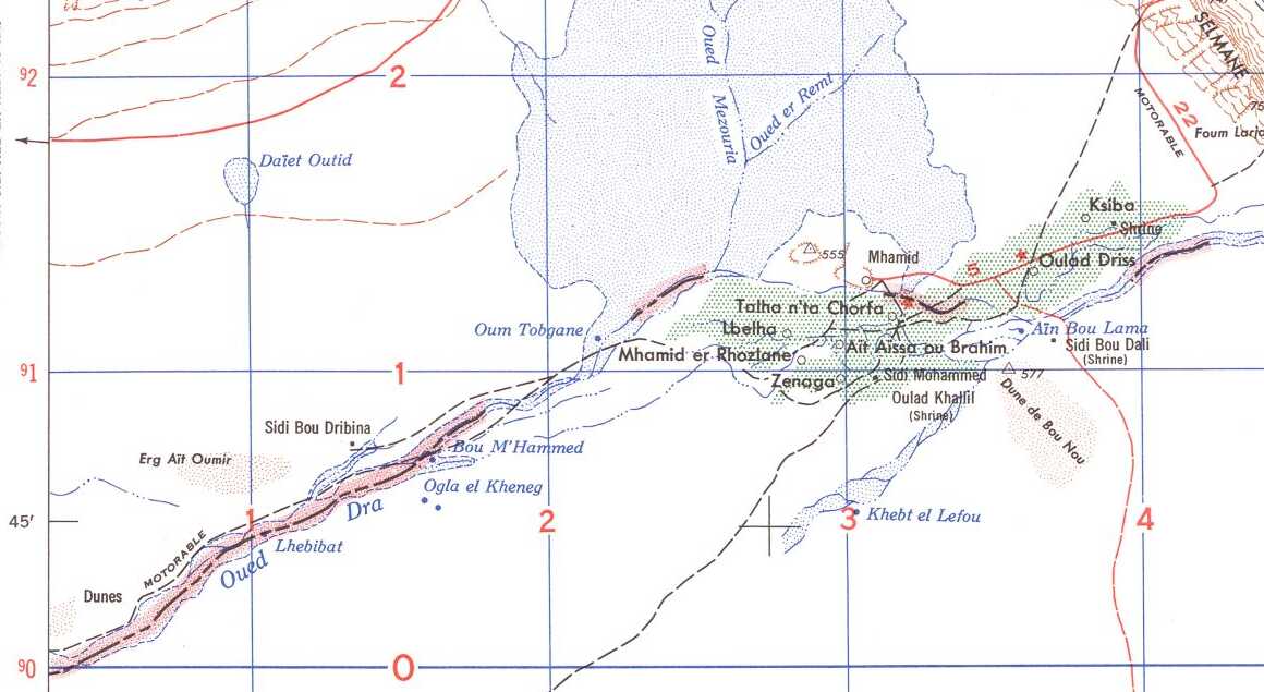
Portion of 1953 U.S. Army 1:250,000 map NH30-5 from the Perry-Castañeda Library Map Collection at the University of Texas at Austin. The black grid is 10×10 km squares. M'Hamid el Ghizlane is simply labeled "Mhamid" here.
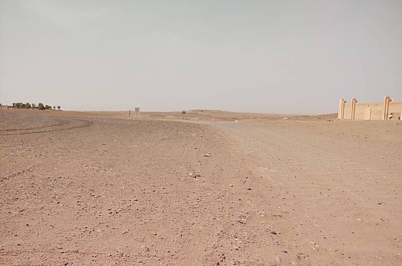
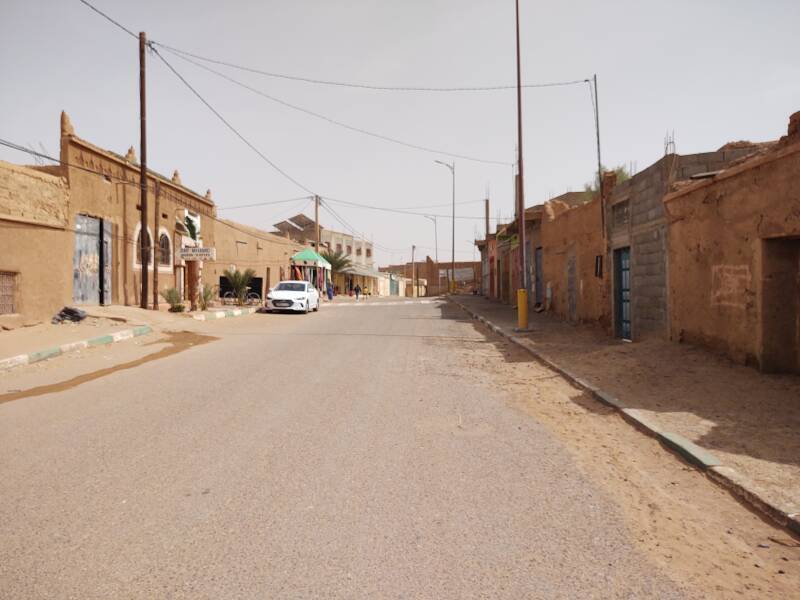
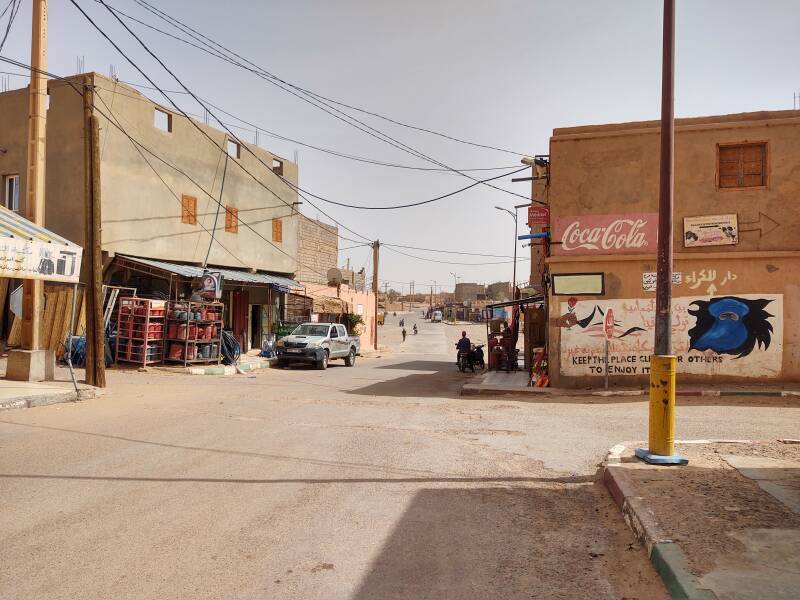
The traffic circle seen at right here is the southern end of National Highway N9.
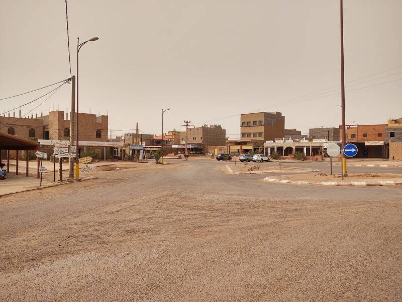
Google Maps will show you a purported bus station here. The bus lines between here and Marrakech actually stop at the traffic circle, visible in the distance here. The transit station shown on the map is this area, where the shared cars from Zagora drop you off between the traffic circle and the center of town.
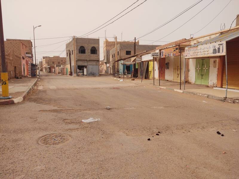
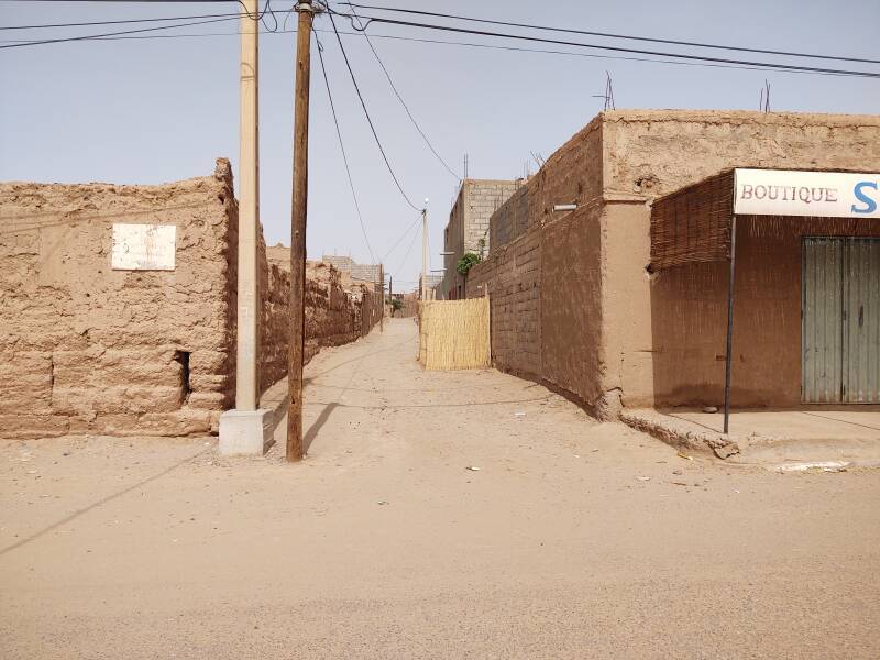
Here's the view looking the opposite way, into the center.

Here is the central square in M'Hamid. By late afternoon, which I took these pictures, most businesses had closed. Small grocery stores, one at the next corner on the left, are open throughout the day. Otherwise, you need to do your shopping in the morning.
The weekly open-air market happens on Monday.
People have lived here for centuries. However, winter rains have reduced since the 1970s, and recently there have been winters with no rain at all. Agriculture has ended, other than personal gardens irrigated with salty water pumped up from wells. On top of that the fungal disease Fusarium oxysporum has attacked the date palm trees that remain.
West to the Edge of Town
The above pictures are from the day I arrived. The following ones are from a few days later, when the air was less dusty.
I happened to walk through town from the east to its west end when the kids were returning from school. The school is at the very western edge of town.
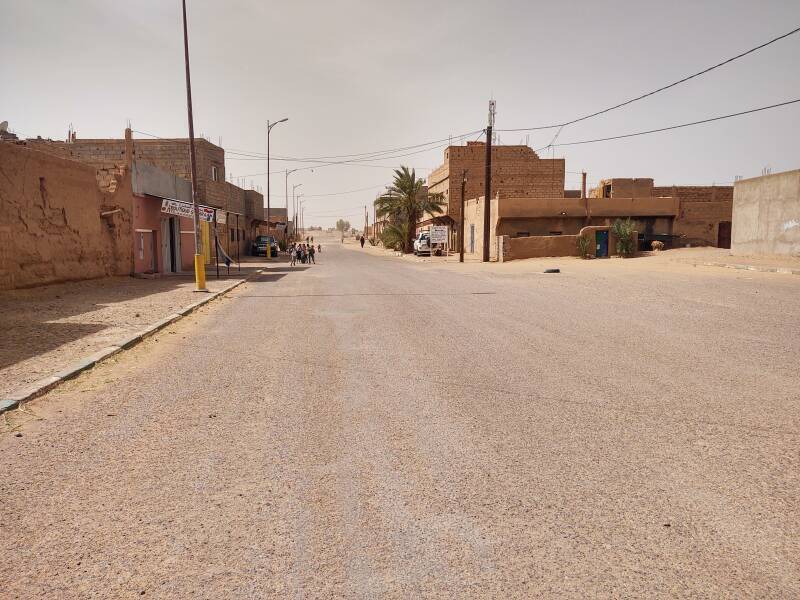
The kids seems to be thrilled to have a chance to try their French on a foreign visitor.
Bonjour monsieur!
Bonjour messieurs et mesdames! Comment ça va? Bien?
Unlike Egypt and many other countries, there was no chanting of Mon-ee, mon-ee, mon-ee! with their hands out and sad expressions on their faces.
Ahead, a father is walking with his son.
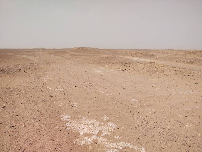
What seems to be a fork in the road beyond them is the edge of town and the end of any pavement.
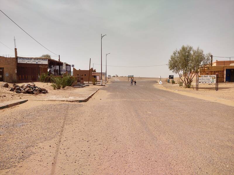
The main street through M'Hamid is paved with chip and seal or tar-seal. That's the result of spreading a thin layer of small aggregate, pea gravel or finer, over a base of hot tar and then rolling it.
Here, just before the school, is the end of the chip and seal. The traffic circle at the other end of town is the end of the nationally maintained highway. This is the end of the pavement. It's just tracks across the desert from here.
This is the start of the track to Erg Chigaga.
Until the late 1980s you had to get a special permit to come here, as the border with Algeria is only twenty-five kilometers to the south, off to the left of this view.
Back into Town
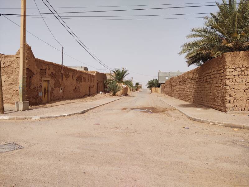
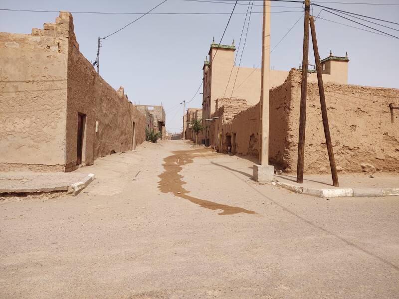
M'Hamid was once a stage in the trans-Saharan trade route. The oldest rammed-earth and adobe houses have mostly been abandoned. Newer homes are built with concrete floors and concrete block walls, in the construction style now typical in southern Morocco.
The kasbah design remains common, with an outer fortified wall around the property.
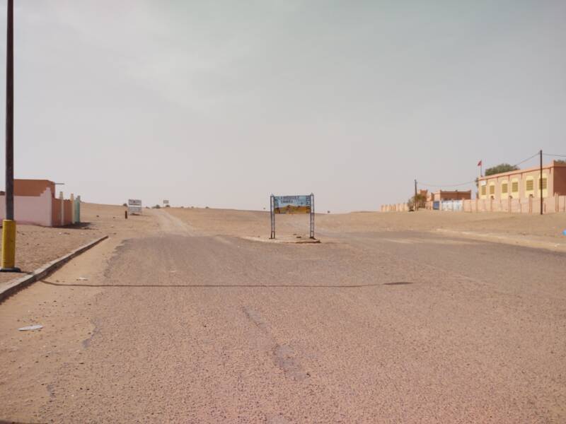
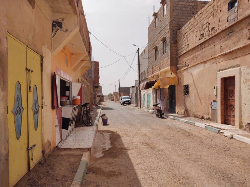
The western end of town is a grid of residential streets. Some guesthouses are in this area, mostly near the main street that runs from the center past the school.
The population has been decreasing since the middle of the 20th century because of the increasing salinity of the ground water and the decrease in the water table. The population of the M'Hamid commune, the town and the surrounding territory, was about 8,500 at the census in 1994, about 7,800 in 2004, and a little under 6,900 in 2014.
The greater water supply and the flourishing date palm oases through earlier centuries make it likely that this area was settled around 3000 BCE.
The Ksar, the fortified town of M'Hamid, was established in the Saadian era of 1549-1659. It served as an imperial station where caravans paid taxes on goods being brought in from across the desert.
The French explorer René Caillié was the first Westerner to return from the city of Timbuktu, about seven weeks' trek across the Sahara from here.
At Amazon
He described his journey and mentioned M'Hamid in his book
Journal d'un Voyage à Temboctou
et à Jenné
dans l'Afrique Centrale.
Volume 1
Volume 2
Volume 3
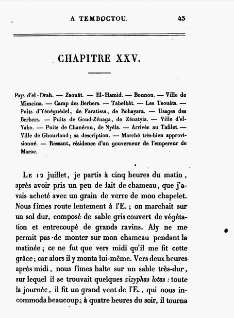
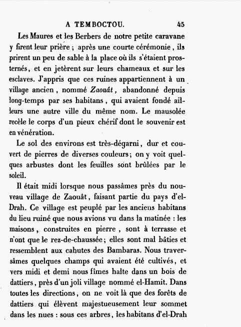
Chapter XXV of Volume 3 tells of the trek through Pays d'el-Drah, the Country of the Draa, starting with Zaouât, M'Hamid, and Bounou.
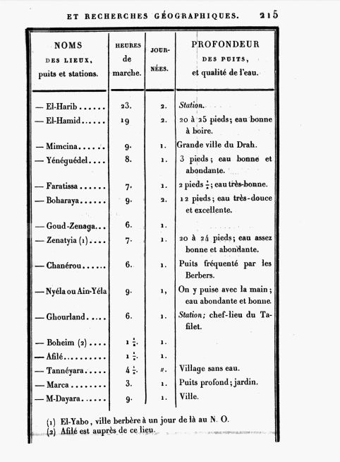
M'Hamid is mentioned in a list of stops as having eau bonne à boire, good water to drink. Things are much saltier today.
On pages 45-46 he describes M'Hamid as a pretty village surrounded in every direction by date palms.
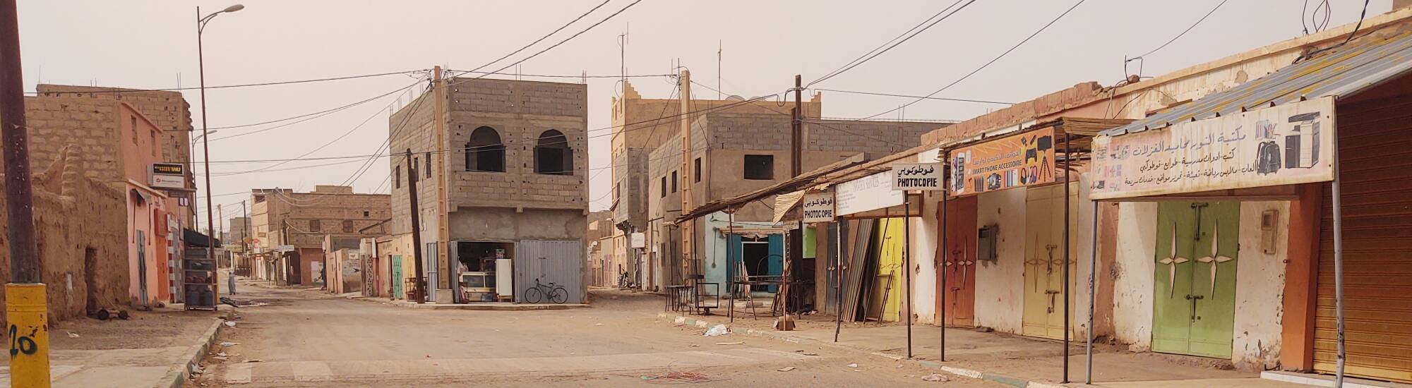
Businesses
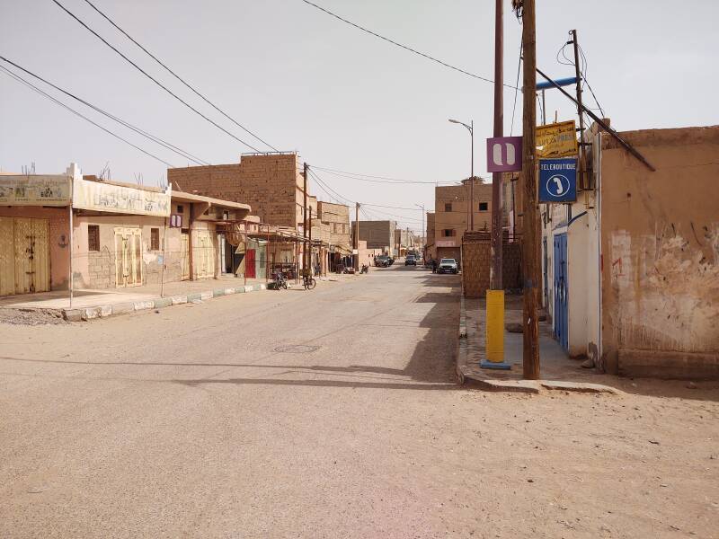
I continued back to the center of town.
The téléboutique still exists as a place where you can place and receive long-distance and even international phone calls. Today with mobile phones, and with applications such as Signal, there is much less need for téléboutiques. But they live on.
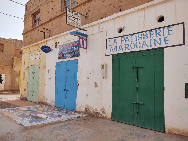
The Narjiss vegetable and fruit shop is behind the purple and green doors. Beside the barber shop is open, its orange outer steel doors opened to reveal the inner door and windows.
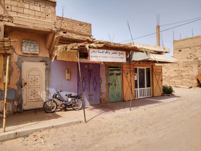
A patisserie or pastry shop and the electronics shop were closed on this afternoon.
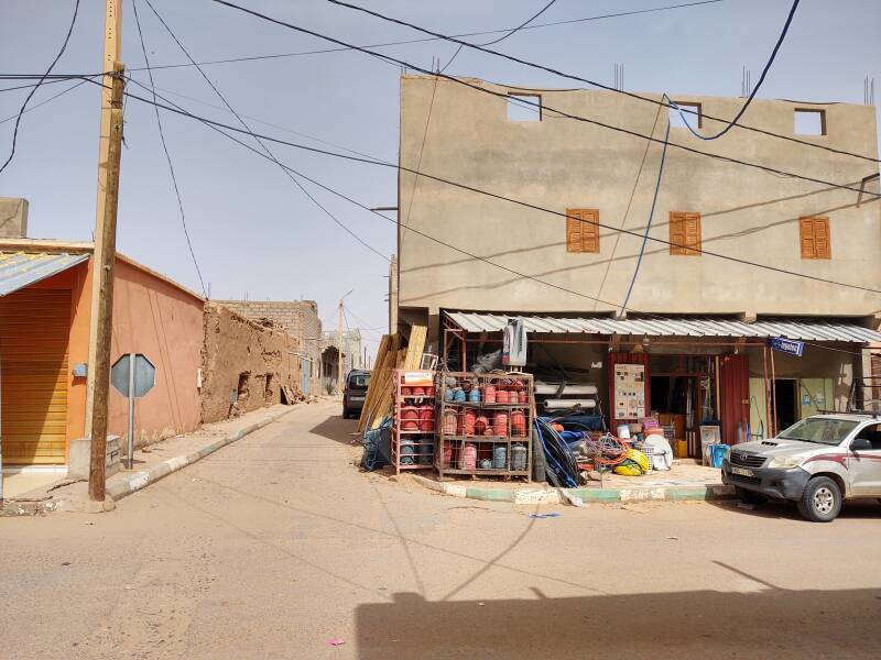
The town's largest grocery store is on the next corner. There's no escaping Coca-Cola advertising.
A hardware store was across the street from the grocery store.
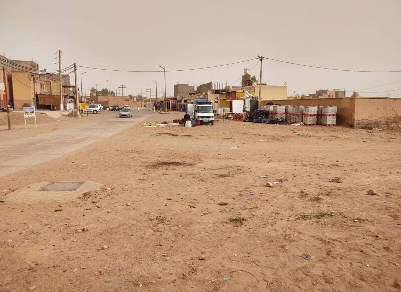
A side street led toward the wadi.
The next page shows the drive into the desert to Erg Chigaga.