Across the Desert to M'Hamid el Ghizlane
By Shared Car from Zagora to M'Hamid el Ghizlane
Sahara DreamsDesert Trips
I had been in the caravan town of Zagora for a few days,
having arrived there by bus from Marrakech.
It was a stop on my way to
M'Hamid el Ghizlane,
usually referred to simply as M'Hamid.
M'Hamid is another 100 kilometers south from Zagora,
close to the Algerian border
at the end of national highway N9.
The CTM bus from Marrakech stops in Zagora and continues
on to M'Hamid.
But the one bus each day leaves Zagora in the evening
and reaches M'Hamid at 2130.
Most people take a shared grand taxi instead,
paying much less and
traveling more or less when they want.
My innkeeper in Zagora told me that a shared
grand taxi was easy,
cheap, and they leave frequently.
All that was true.
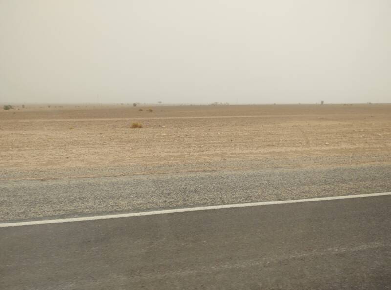
I saw a variety of weather during my few days in Zagora. It was raining the night that I arrived, the first time in eight years that it had rained like that. Then it was a beautiful sunny day when I went to Jebel Zagora, a volcanic peak near town. And then there were two days of wind with the air filled with fine dust. The day I went to M'Hamid was one of those.
I needed to go to the place where the shared taxis gathered. Flag down a petit taxi and ask, À la gare des grands taxis, s'il vous plaît.
Zagora is a transport hub for the shared taxis. Every town has its color schemes, one for petit taxis and one for grands taxis. In Zagora that was dark red and yellow, respectively.
Of course they assumed that I, a somewhat uncommon foreign visitor, wanted to hire a car and driver of my own. You must ask for a ride in a shared car.
Non, non, un grand taxi collectif à M'Hamid, s'il vous plaît.
Ah, certainement! Par ici.
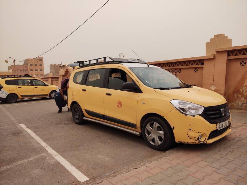
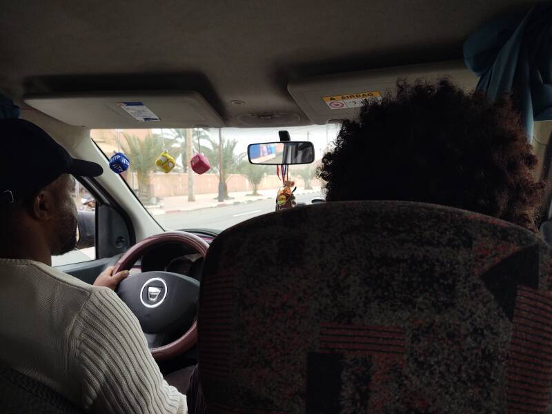
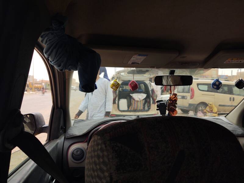
Here's my ride. I had a wait of just 15 to 20 minutes. By then a man bound for some intermediate point had arrived, and the driver had a request to pick up two women on the way out of Zagora. It was time to load up.
On the Road
Off we went!
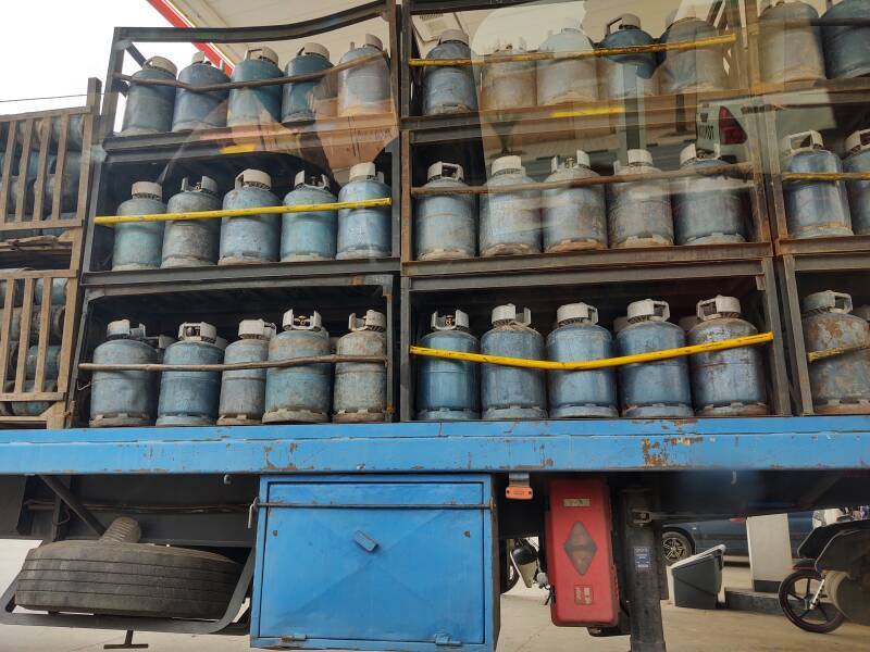
First, we stopped for fuel. The adjacent pump was filling a truck transporting bottled propane that it delivers to homes and businesess.

Amazon B0000DIZQQ
Then there was about twenty minutes of searching the side streets of Zagora for a poorly described location where the two women were to be found.
We finally found them, loaded them and their bags, and left town past the "52 Days to Timbuktu" sign.
This map shows the terrain from Zagora near top center south to the area of M'Hamid el Gizelane, which isn't shown on this map. It's close to Regabbi n'Aït Nasso, which is east of the even smaller M'Hamid el Rhozlane
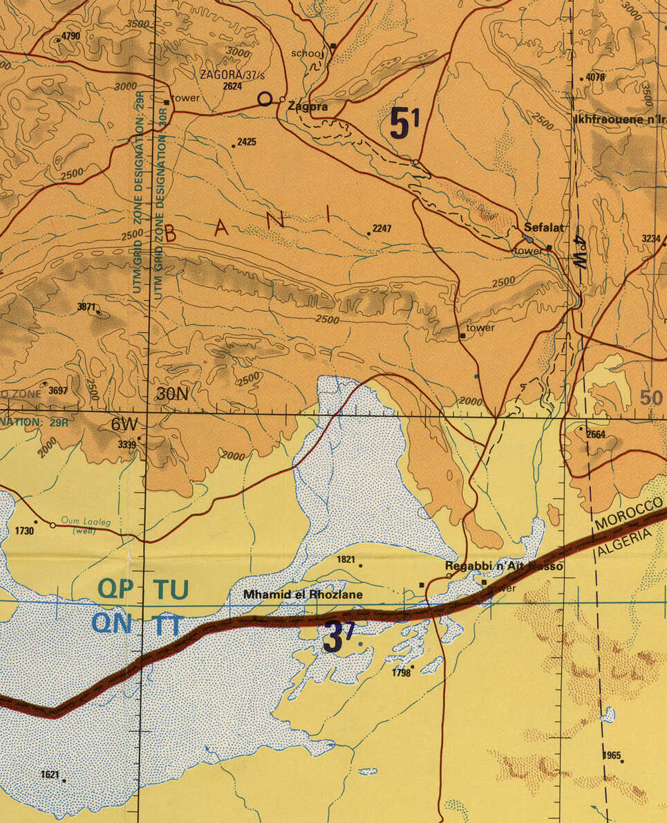
Portion of 1972 1:500,000 map TPC H-2A from the Perry-Castañeda Library Map Collection at the University of Texas at Austin.
This next map, at 1:250,000 scale, shows the first part of the trip southeast from Zagora through Tamgrout, then turning south through a pass through the Bani chain of mountains.
The blue marking for an intermittent river with solid green vegetation might have been a good description back in 1953 when the map was made. But not today.
It's the Oued Draa or the Draa Wadi, with wadi being the usual English representation for what French speakers spell oued or ouadi. Despite my arrival during a once-in-eight-years rain storm, there were only a few puddles the next morning.
The chain of date palm oases along the Draa are still there, but they're shrinking while the Draa loses more moisture.
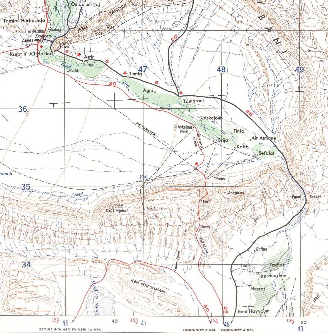
Portion of 1953 U.S. Army 1:250,000 map NH30-5 from the Perry-Castañeda Library Map Collection at the University of Texas at Austin. The black grid is 10×10 km squares.
Continuing south onto the next map sheet, the route came in on the road marked "NESRAT 7 KM". Tagounite was the largest settlement between Zagora and M'Hamid.
We descended through the Jebel Beni Selmane range and continued into M'Hamid. On this 1953 map the road is shown as a thin red line meaning "Dry weather or dirt", not paved, marked as "Motorable". Now it's National Highway N9, paved and two lanes wide.
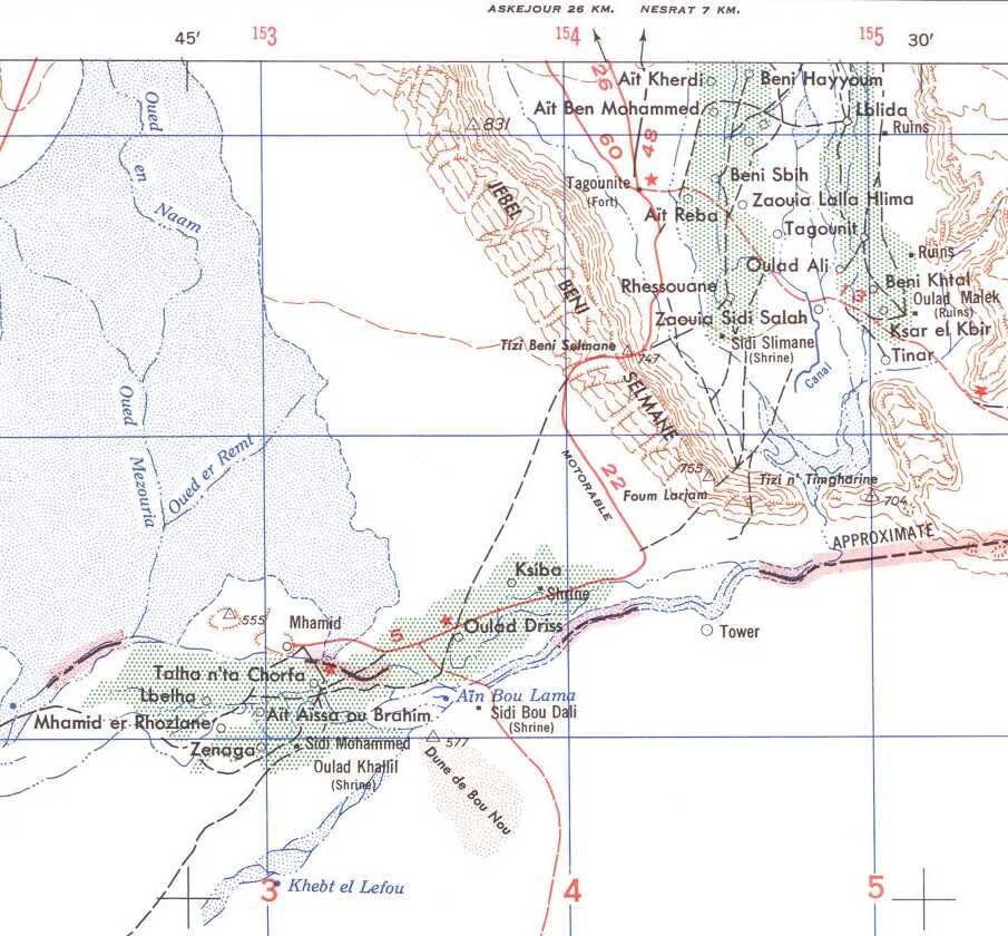
Portion of 1953 U.S. Army 1:250,000 map NH30-5 from the Perry-Castañeda Library Map Collection at the University of Texas at Austin. The black grid is 10×10 km squares.
Talate
Talate is a very small settlement just north of Tagounite.
Tagounite
Tagounite is the capital of Ktaoua or Ktawa district. Despite the recent decades of increasing drought, most inhabitants still work in various connections to the nearby remaining date palm groves. Its central market area is busy.
We stopped for a while, because our car was also serving as a delivery vehicle for someone in Tagounite.
Arrival in M'Hamid
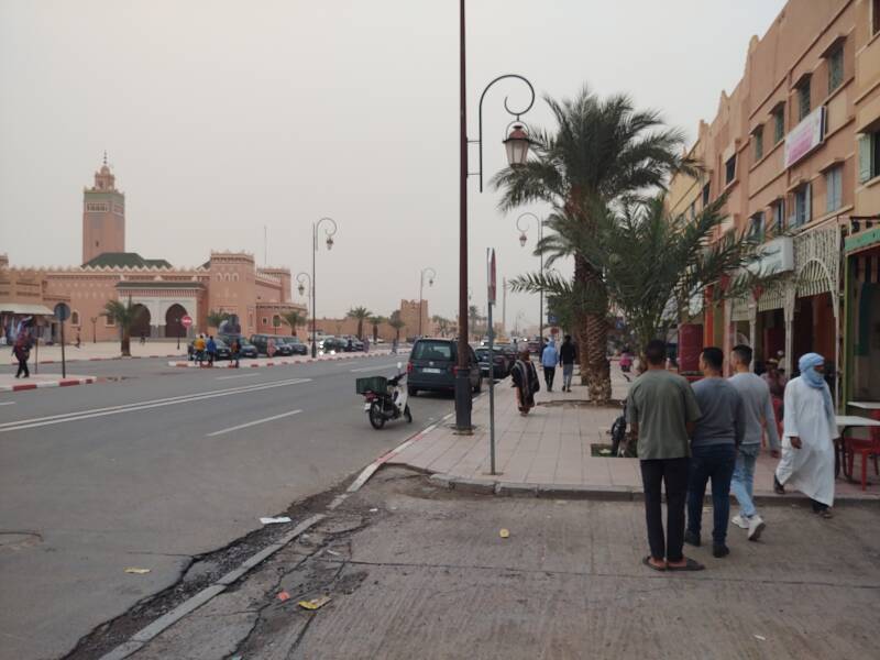
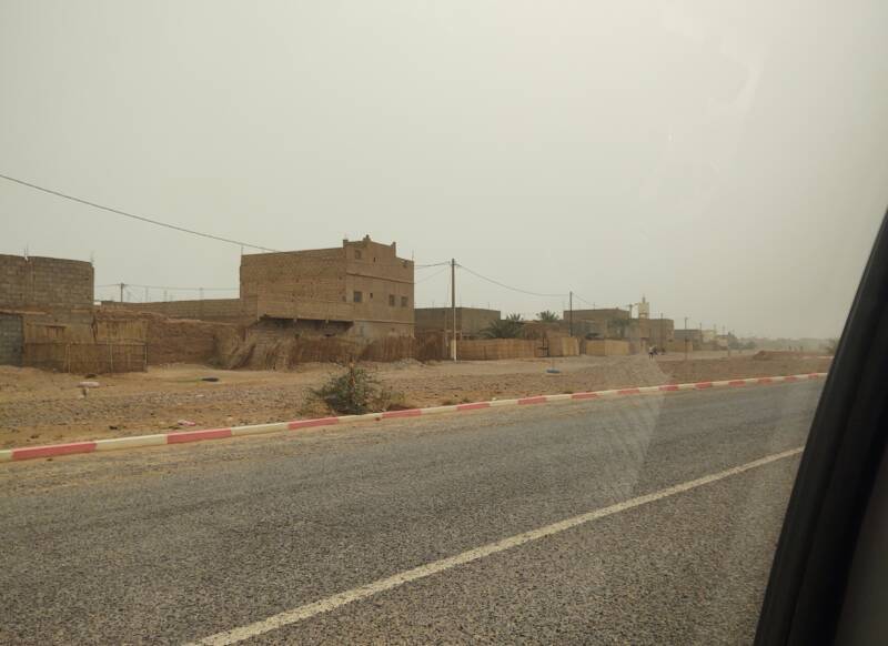
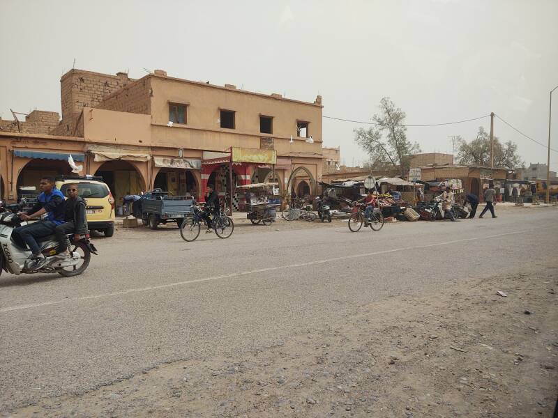
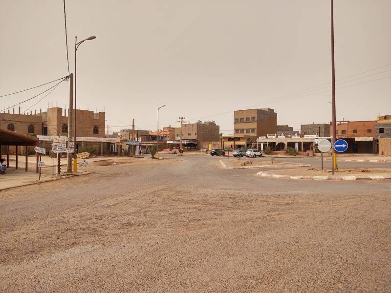
Then we arrived in M'Hamid. The traffic circle at right is the end of the N9 highway, and it's the south end of the paved roads. A few primary streets are roughly paved with chip and seal or tar-seal, names for a road construction technique in which a thin layer of small aggregate is spread over a base of hot tar and then rolled. But beyond the edges of town, it's all sand and tracks.
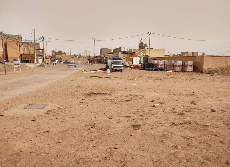
The open areas along the main street through town are the south end of the commercial transport. In other words, this is the bus station.

We had stopped along the way and let the other guy out at a lane leading to a very small settlement. The two women and I got out here.
At the time:
1 Dirham = 0.093 US$
10.75 Dirham = 1 US$
or, close enough:
10 Dirham ≈ 1 US$
After I got my backpack out of the luggage compartment, the driver wrote "800" with his finger in the dust on the rear window. 800 Dirham! Surely he meant 80!
I asked "Quatre-vingts?"
He nodded, apparently agreeing to 80 Dirham. I gave him four 20 Dirham notes. Oh no, he shook his head and handed two of them back. It was just 40 Dirham, about US$ 3.70.
"Ah, quarante, c'est bien. Shukran jazilan!"
[nodding] "Mmm-hmmm. Shukran."
Berber is the predominant language in this area,
Arabic is a second language for most people and
French would be third.
His French was pretty sketchy,
I don't think my question about 80 meant anything to him.
But I have no idea where the writing mixup came from,
as Morocco uses European digits:
0 1 2 3 4 5 6 7 8 9
and not Arabic digits:
٩
٨
٧
٦
٥
٤
٣
٢
١
٠
Forty would be written ٤٠
in Arabic digits.
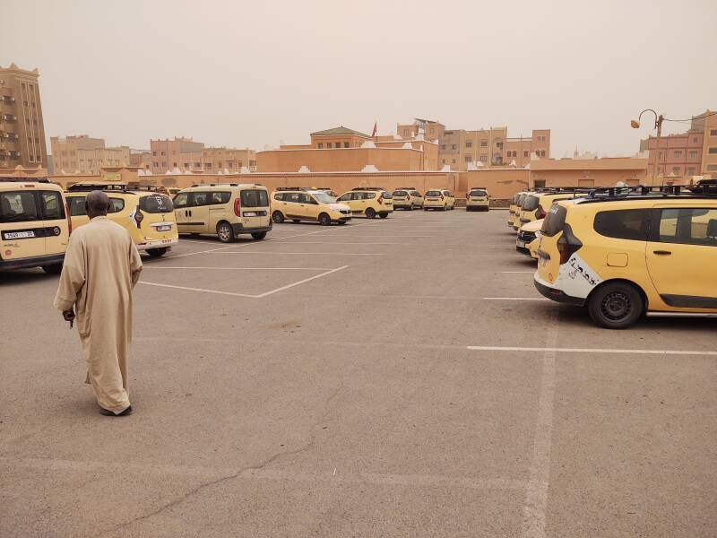
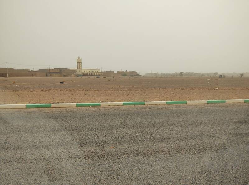
Well, whatever, I was in M'Hamid, and at a bargain price. Below is the view back from the taxi drop-off and pick-up point toward the traffic circle.
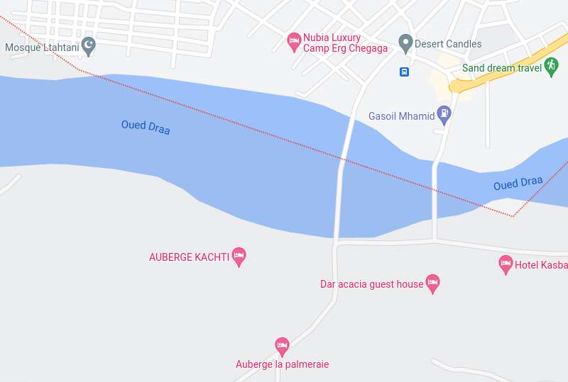
To My Guesthouse
This map shows the highway and the traffic circle in yellow, at upper right. Just to its west the open lot where the taxi stops is marked with a blue transport marker. Near the bottom is Auberge La Palmeraie, where I had a reservation.
In between, Google Maps shows a broad river crossed by two bridges. Well, that's the Oued Draa, a wadi that continues west all the way to the Atlantic coast, with visible water in it towards its western end.
The western one of what Google shows as two bridges is the more direct route, so I headed off in that direction.
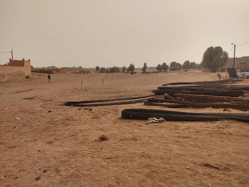
The wadi is beyond the line of trees past the pile of rebar, textured steel rods for reinforcing concrete.
I thought that I should see Google's western bridge by now...
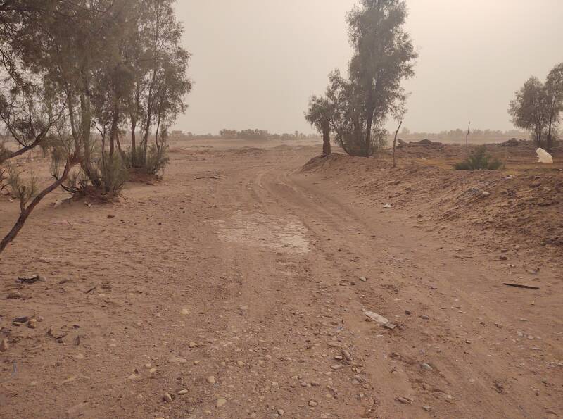
Ah, there is no bridge, and not really a road.
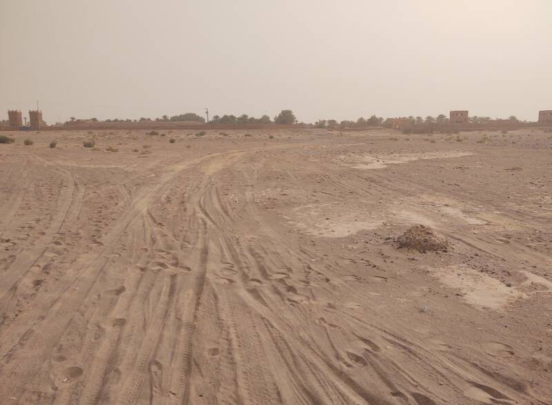
What has happened is that enough people in M'Hamid have Android phones for Google to have noticed that there seems to be a road here.
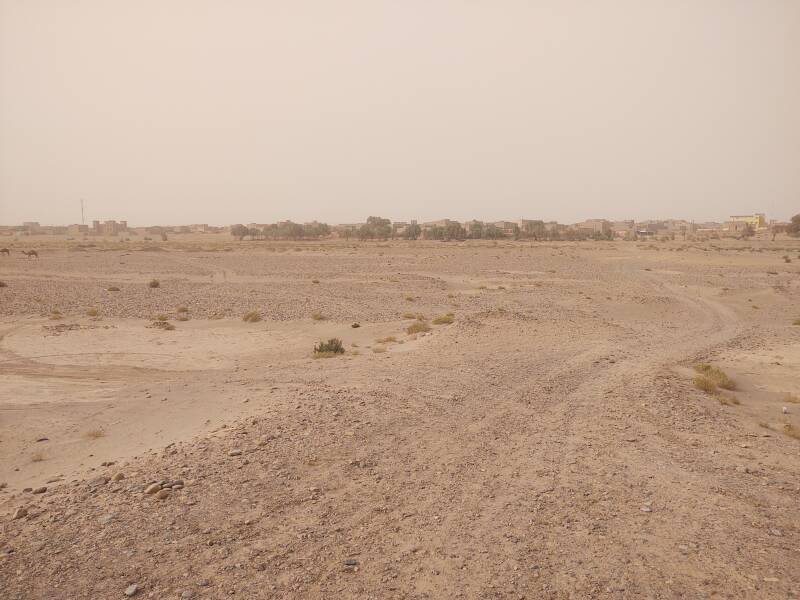
No, it's just the track where everyone drives across the wadi.
Across the Wadi
Follow the tire tracks and footprints.
There actually is a bridge if you want to reach the southern section of M'Hamid in a formal way.
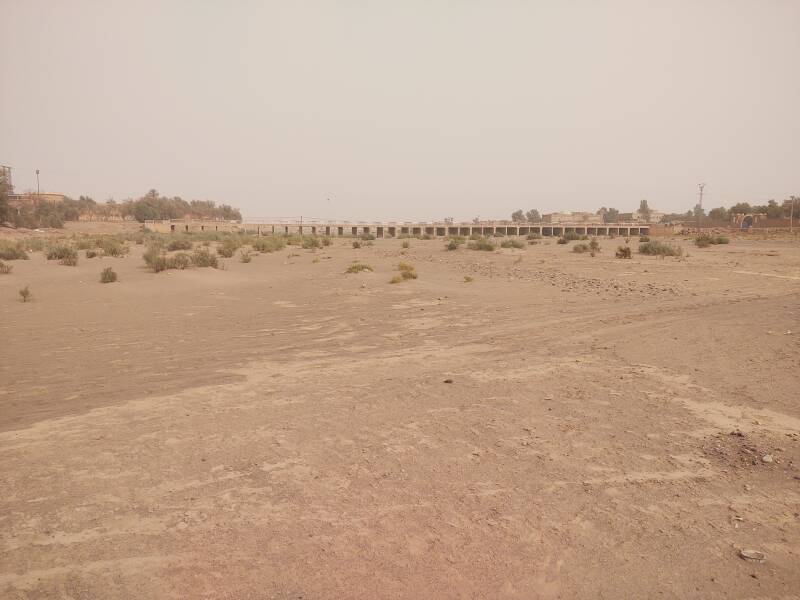
I later took a picture looking up the wadi from that bridge. Here is Morocco's longest river maybe a third of the way from its source to its mouth.
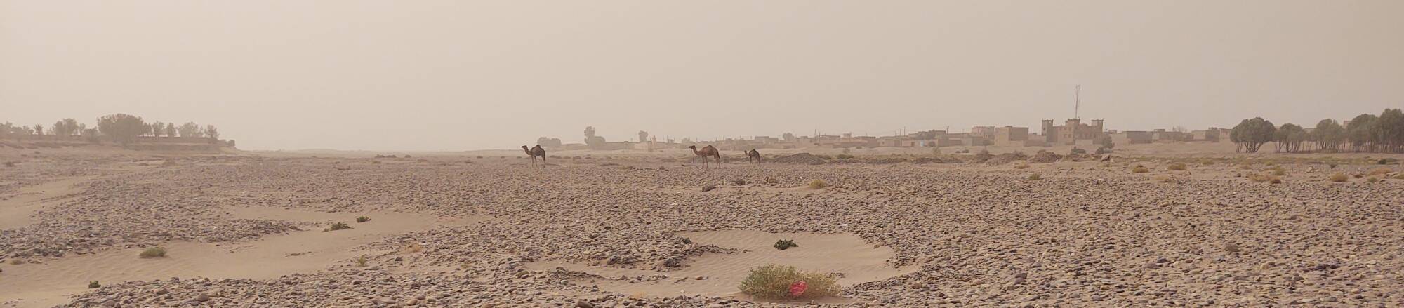
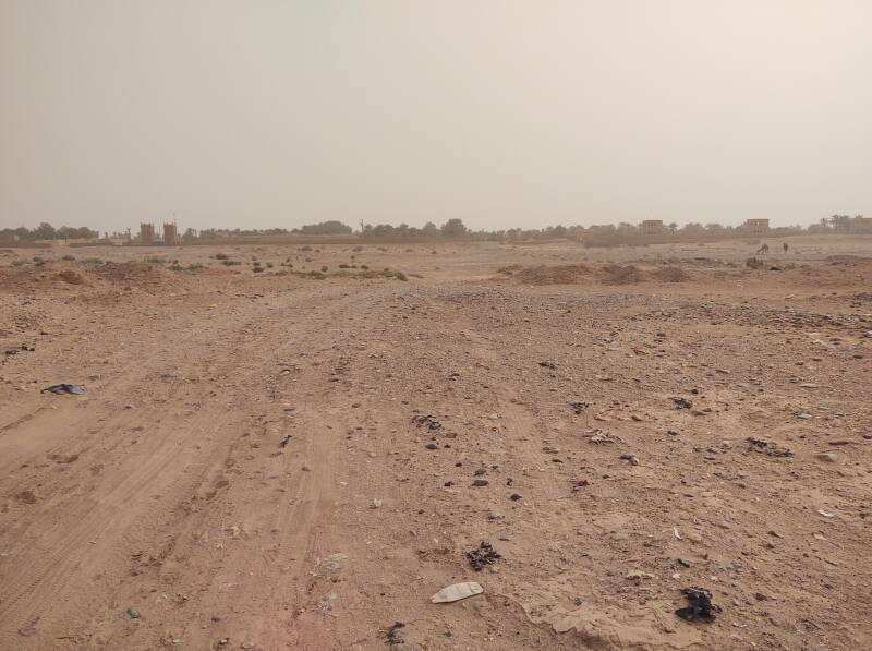
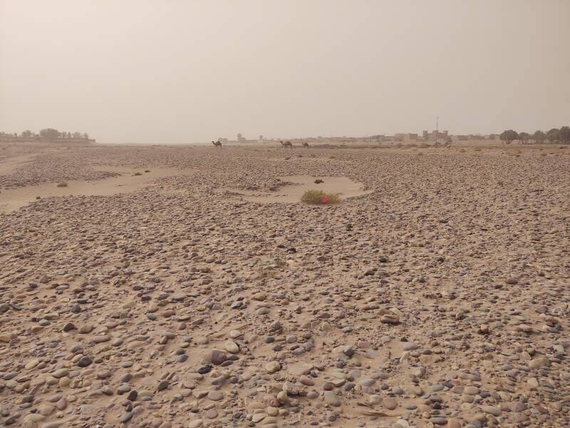
Back to my initial crossing of the wadi, some camels were wandering downstream.
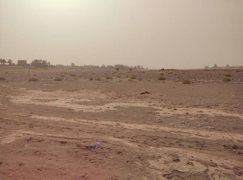
Nearing the south edge of the wadi, looking downstream to the west, past the camels toward open desert, you can see the skyline of M'Hamid. A couple of minarets and a cellphone tower.
Various minor tracks join at the slope up out of the wadi to the road.
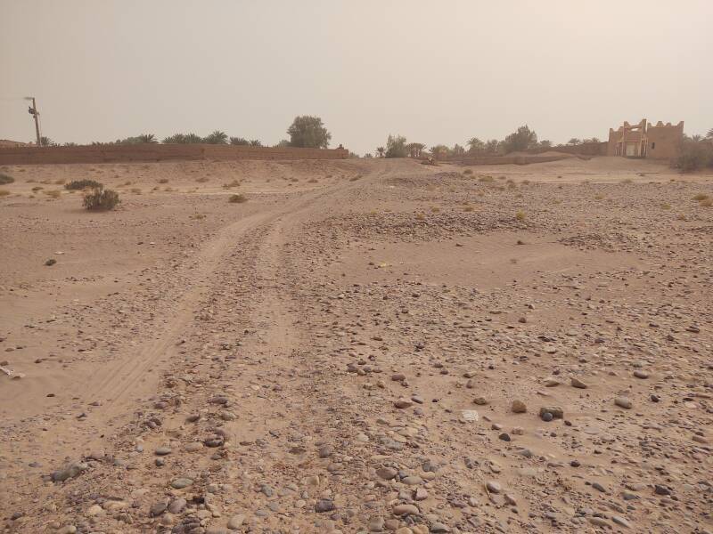
And, the view from the south edge of the wadi, across it to the center of M'Hamid. That would be M'Hamid Bali or Old M'Hamid on the north side, and M'Hamid Jdid or New M'Hamid on the south.
The lane to the south had a chip and seal surface, at least for a short distance.
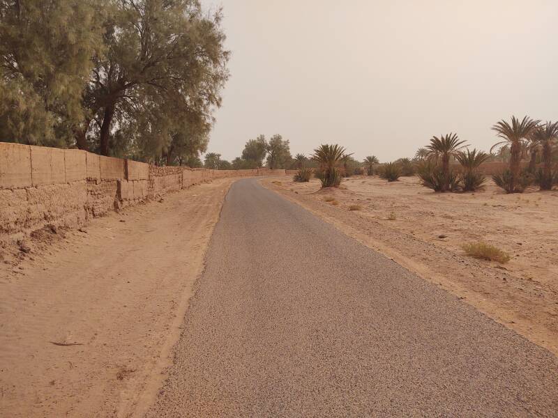
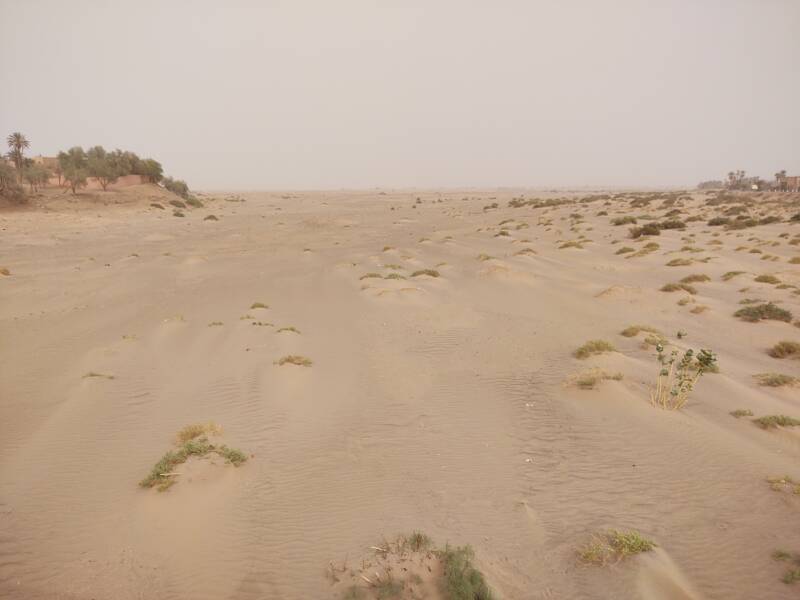
This is a relatively moist area, with some date palms.
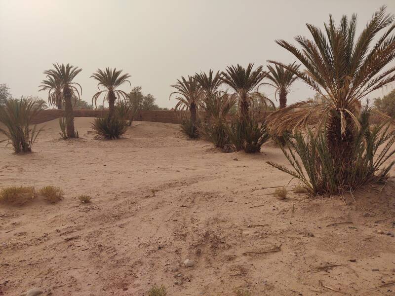
Smaller wadis join into the Draa.
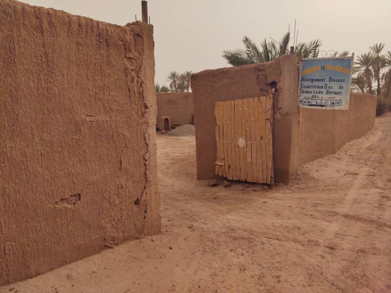
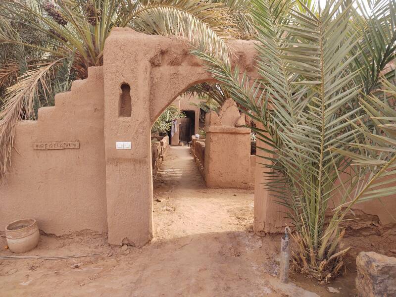
Auberge La Palmeraie
Guesthouses at Booking.comAuberge La Palmeraie, where I stayed, is a short walk south from the wadi.
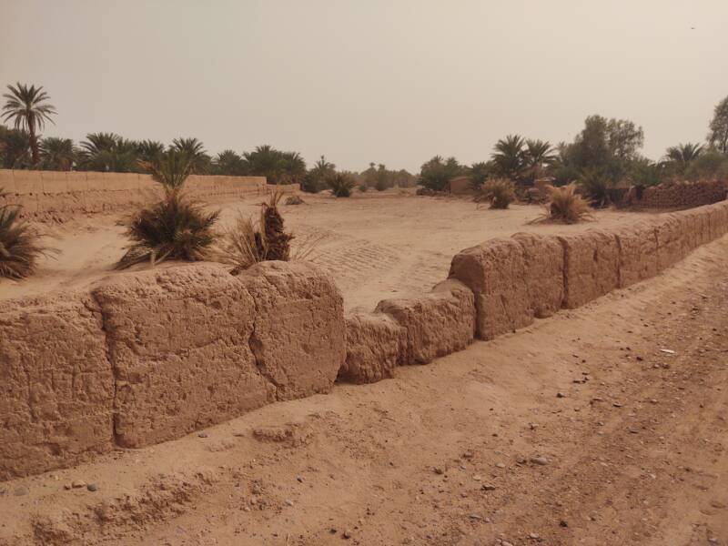
Like many places in Morocco, it's built like a fort.
I have arrived!
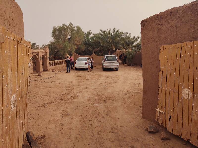
The next page shows my room and other parts of the auberge.
The Arabic word وَادِي or وَاد is Romanized wādī for English speakers, or oued and ouadi in French maps and books. It refers to a valley that may be a riverbed that only contains water after infrequent heavy rainfall.