Zagora
Zagora, a Desert Caravan Stop
I had taken a bus southeast from Marrakech into the desert.
We left Marrakech at mid-day and
arrived at Zagora in the early evening,
in unusual weather.
It was raining — not mist, or a light drizzle,
but actual hard rain.
Had I arrived during the rainy season?
No.
It had been eight years since it had rained like that in Zagora.
My innkeeper had met me at the bus stop and taken me to
my guesthouse, where I had dinner and rested in the dry
indoors after a long day on a bus.
The next morning was sunny and clear,
and I was ready to explore the town!
Zagora has been the jumping-off point for Sahara caravans.
It's the last town on the route from Marrakech to Timbuktu,
which tradition says is another 52 days across the desert.
The map below shows Zagora on the Draa River
leading southeast past Agdz and Tansikht.
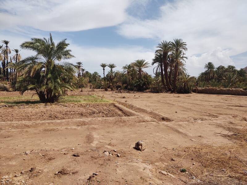
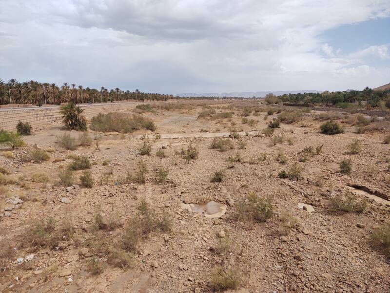
The Draa (or Drâa) in this section
is a wadi, a dry river bed.
It's a slightly moist strip of land
that supports some date palm oases
and very limited agriculture.
Even my first night's once-in-eight-years rain
led to no more visible water in the Draa
than a few small puddles.
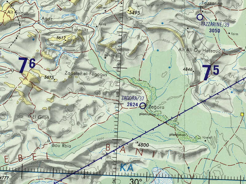
Small portion of 1:1,000,000 Operational Navigational Chart ONC H-2, from the Perry-Castañeda Library Map Collection at the University of Texas at Austin. Map created in 1972, with updates in 1983 to aeronautical information only.
This second map, zoomed in from 1:1,000,000 to 1:500,000 scale, shows the city of Zagora as a small circle at a road intersection. Just west of that, the much larger bold circle also labeled Zagora with an elevation of 2,624 feet is its "minor aerodrome". The blue and brown dotted areas are date palm plantations.
The solid blue line for the Draa is wishful thinking, water is seldom visible there. "Oued Draa" at lower right, French for Draa Wadi, is realistic. It's a wadi, a valley with some underground moisture and little to no visible water most of the time.
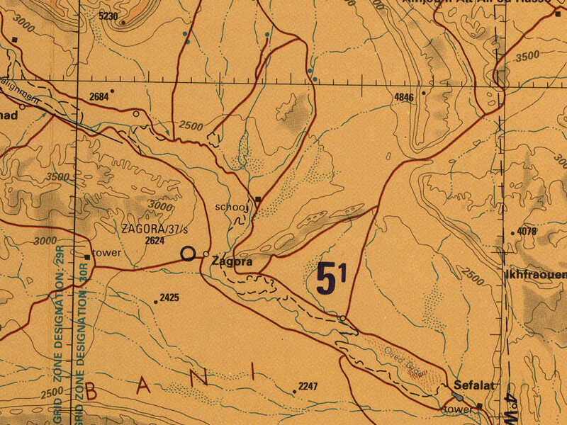
Small portion of 1:500,000 Tactical Pilotage Chart TPC H-2A from the Perry-Castañeda Library Map Collection at the University of Texas at Austin. Map created in 1972, with updates in 1995 to aeronautical information only.
To My Guesthouse
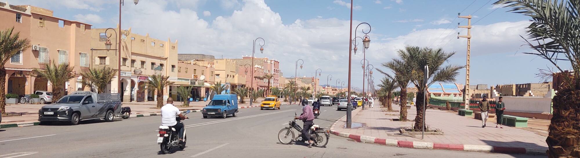
Zagora is home to almost 35,000 people, making it the largest city beyond Ouarzazate on the way to the Sahara. The N9 national highway is Zagora's main north-south axis.
I was on a Supratours bus, an inter-city bus company affiliated with ONCF, the national railroad. The bus provides connections beyond the ends of the rail lines. I had arrived in Marrakech on an overnight train and spent a few nights there. Then I had taken a Supratours bus to continue to Zagora.
The bus had stopped at the Gare Routière near the north edge of town. The driver announced that there would be a second stop at the Supratours bus company office toward the south edge, closer to where I was staying.
Guesthouses at Booking.comI had reserved a room at the Karim Sahara guesthouse through Booking.com. That ties in to Google Maps and provides a messaging interface. I had told my innkeeper that I would be on the Supratours bus, scheduled to arrive at 19:45. He came to the bus company office and met me, and we took a petit taxi to the guesthouse.
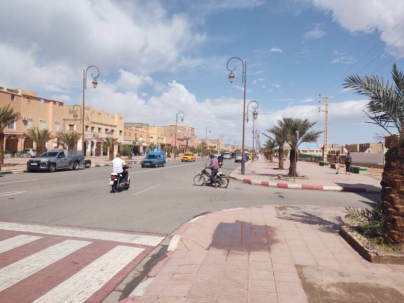
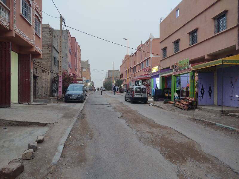
The next day was dry and sunny, with puddles left from the last night's rain storm. Here's the view off the N9 toward the guesthouse.
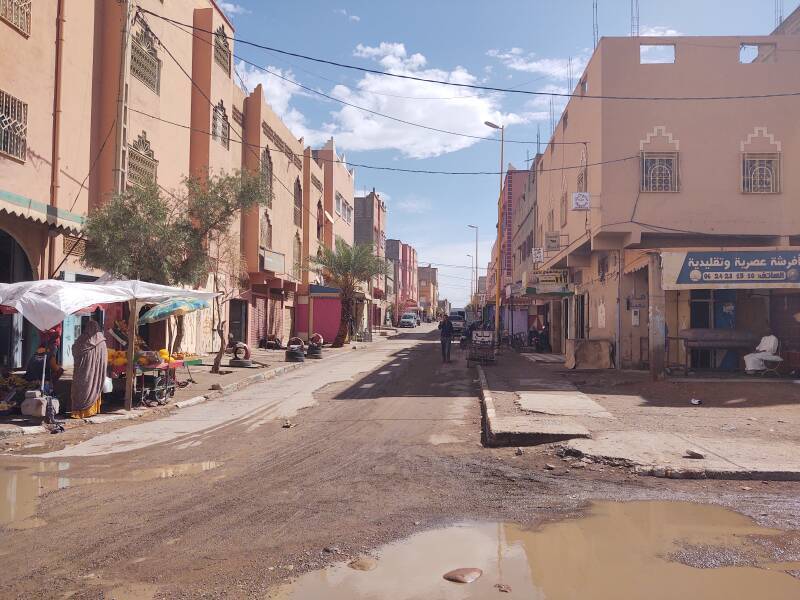
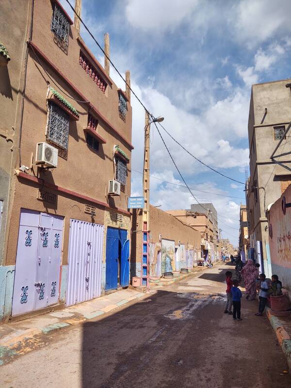
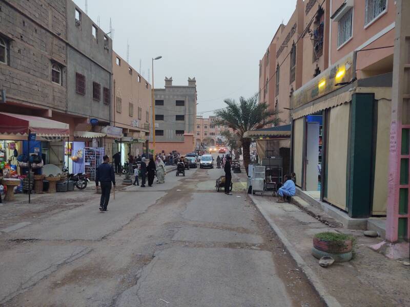
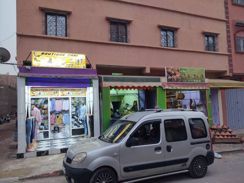
After crossing a few small streets off the main road, you turn to the left. The guesthouse was just a few doors down on the left side of this street. The grocery store on the corner was handy.
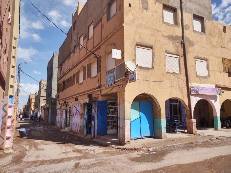
The blue door is the guesthouse entrance.
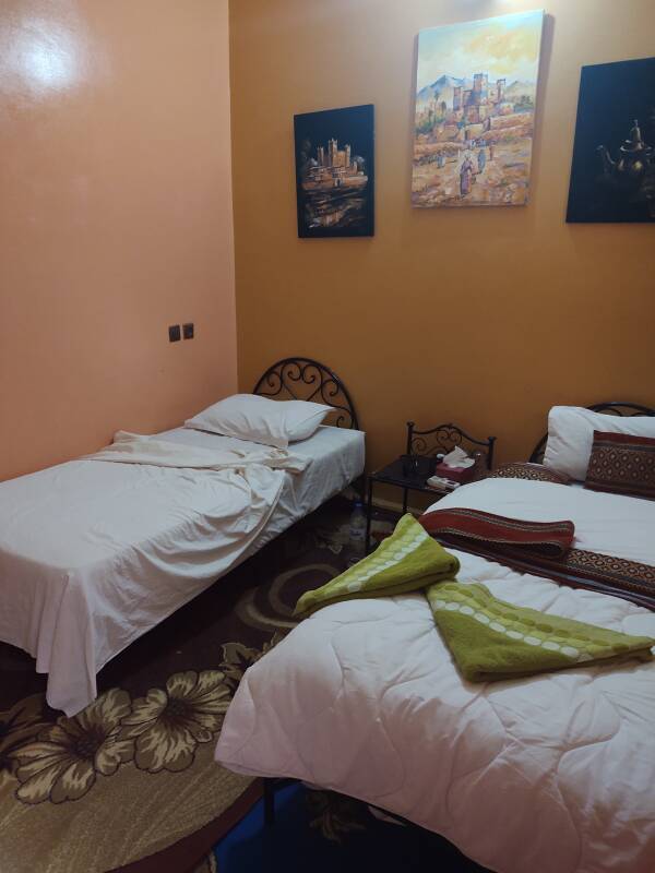
Upstairs...
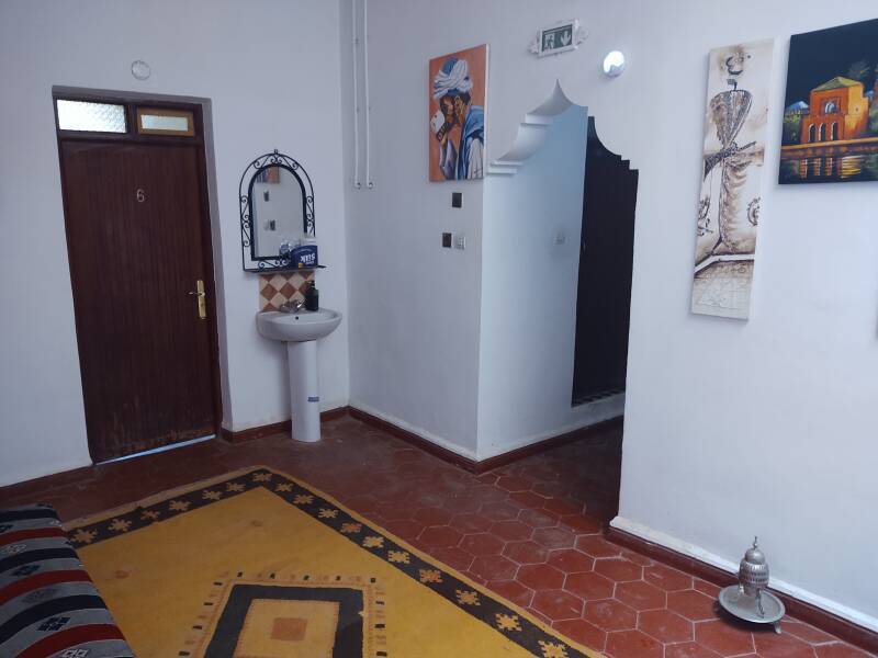
...and to my room...
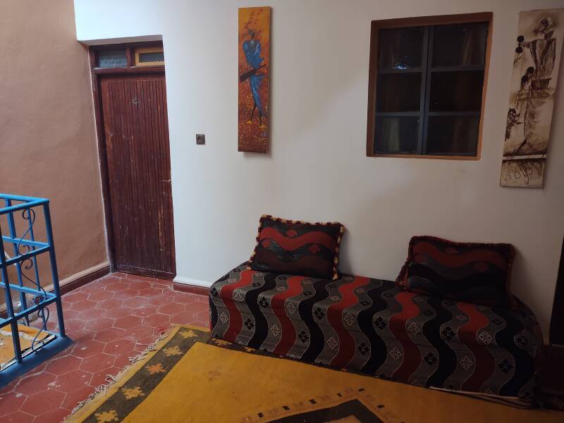
Like half of the places where I stayed in Morocco, it's built like a fortress with the room's only window opening into the hallway, not outdoors.
My room was just 225 Dirham per night, about US$ 21.
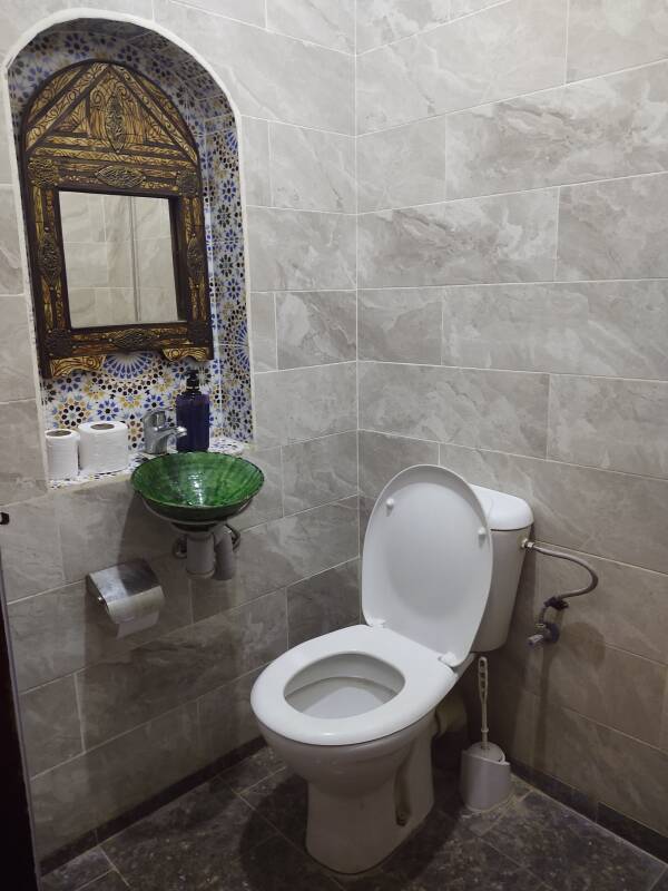
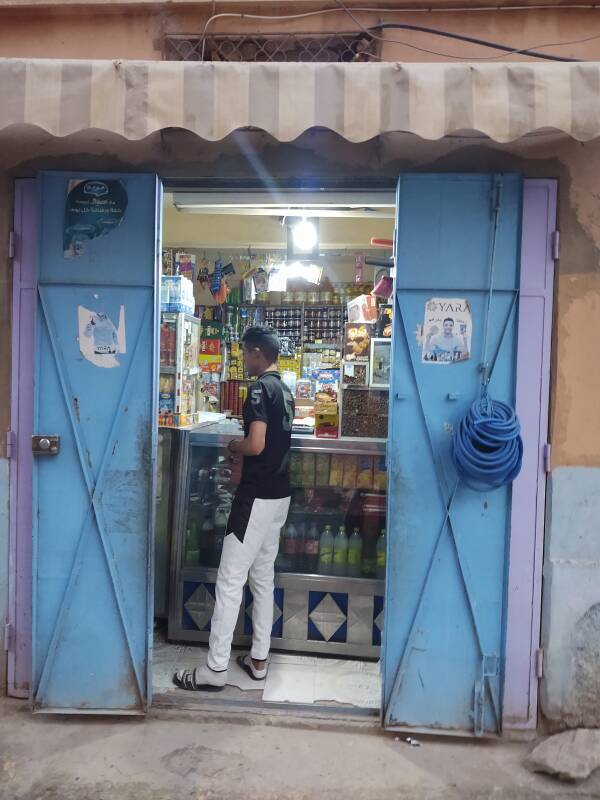
Great facilities, and I would need the shower after the following days of trekking up Jebel Zagora and exploring town during dust storms. The tap water in Zagora is noticeably brackish. I kept a supply of bottled water from the grocery store across the street.
Zagora
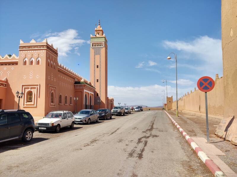
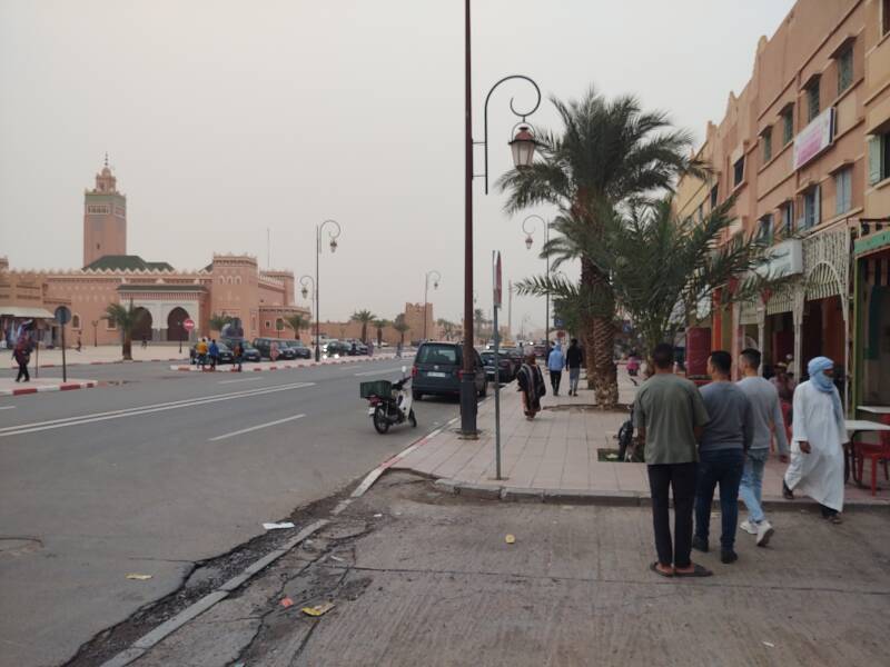
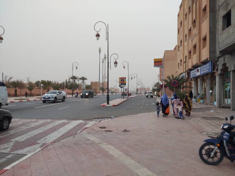
Here is the N9 highway through the middle of Zagora.
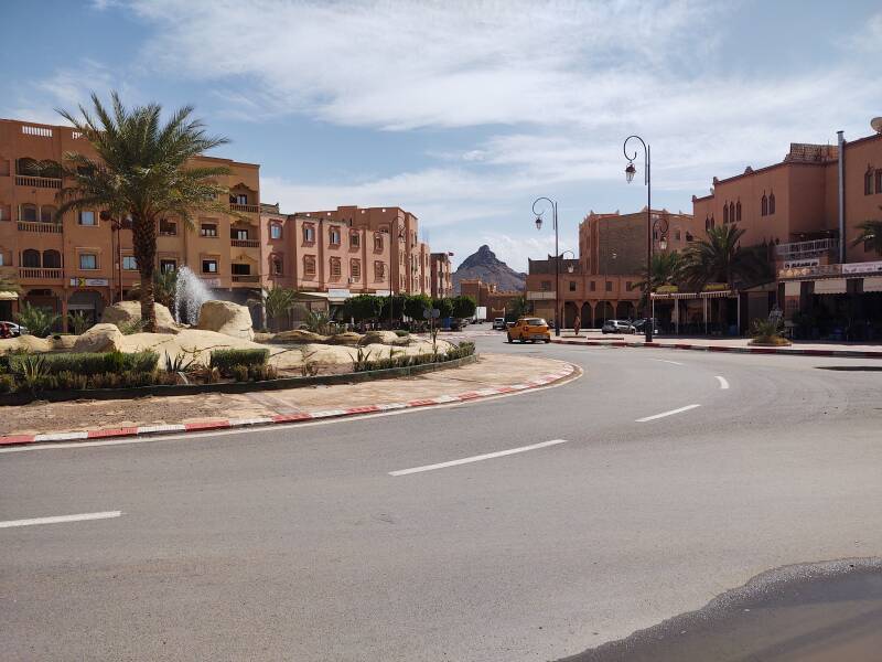
A traffic circle has a view toward Jebel Zagora. The next page shows and describes my walk there and trek up it.
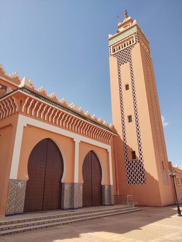
The main mosque is along the main street, of course.
Zagora's oldest historical records are in Hebrew, written by Jewish inhabitants in the 12th century CE. They report that the Draa valley was inhabited by ancient people, the most ancient of which were the Kushites, descendants of Kush, who was one of the sons of Ham, who was a son of Noah.
So, we know that the local population was predominantly Jewish in the 12th century CE, and that people had been living here for a long time before that. Beyond that, we just don't know.
Around 1575 Amir bin Ahmed al-Ansari founded a settlement near here. It became a prominent Sufi educational center, famous for its school and its large library. Zagora has an annual festival celebrating the local Sufi saint Abdelkader Jilali.
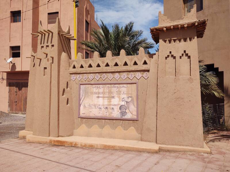
Here is the famous "Tombouctou 52 Jours" sign. Or at least a sign.
There was a sign much like this in Zagora showing a Berber man with a camel and marking the start of the 52-day trek across the Sahara to Timbuktu.
Amazon B0000DIZQQ
Then the national government said that they were going to replace that sign as part of a modernization program. Several replicas were created at various guesthouses and cafés. They differ slightly, camel on the left or camel on the right, arrow toward left or right to point to the south, but they're all pretty similar. Some sources say that one of them is actually the original, spared from government replacement. Who knows.
This one, on a small replica of a kasbah or ksar, is at the last traffic circle at the south edge of Zagora. Out of all of them, it's probably the most appropriately placed.
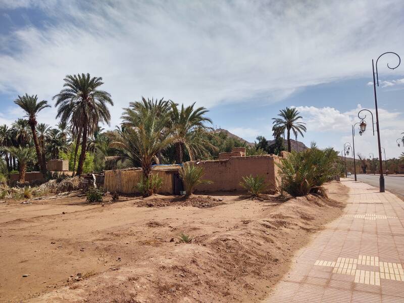
There are several riad style guesthouses beyond that traffic circle, along the N9 as it crosses the Draa wadi, and then around the west end of Jebel Zagora.
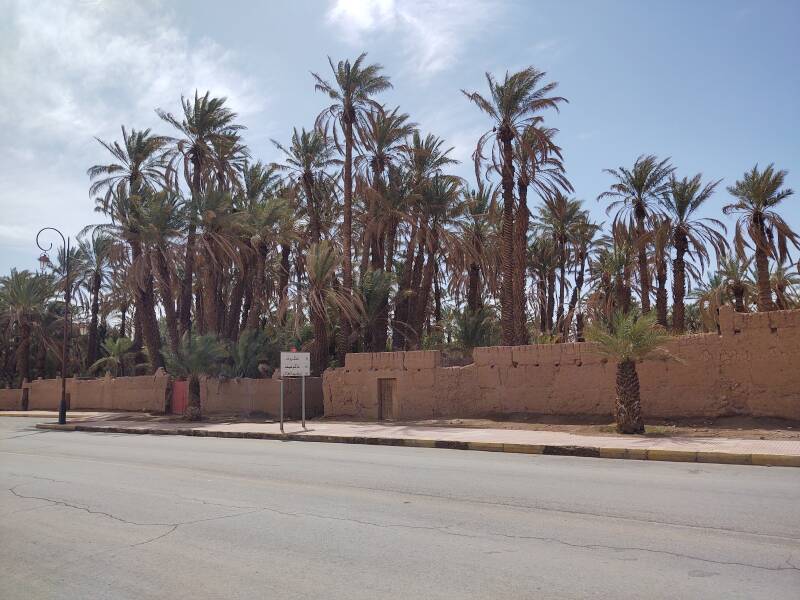
They can pump water up from wells into irrigation ditches. At least for now...
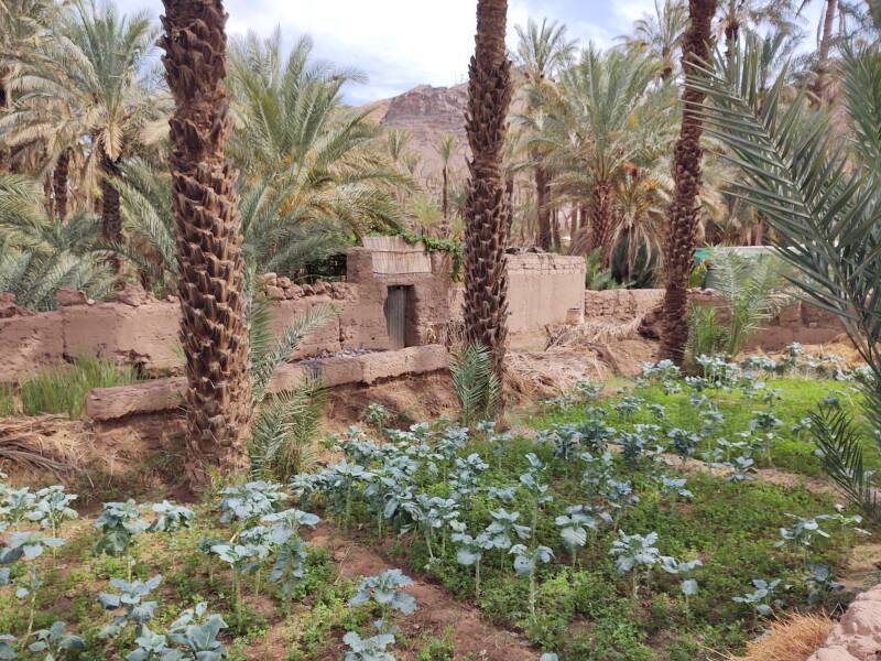
My innkeeper told me that in the 1990s you would almost always hit water when you drilled down only 10 meters along or close to the Draa wadi.
But by 2022, you had to drill at least 100 meters to hit water, sometimes as deep as 200 meters and sometimes not hitting any water even then.
Climate change meant hotter and drier conditions in Zagora and upstream, and increasing population and improving lifestyles in Zagora meant much greater extraction. Water for cooking and drinking was carried in on trucks, as most groundwater had become too brackish.
Morocco's national motto "God, Homeland, King" is spelled out in large letters, illuminated at night, just below the telecommunications antennas at the peak of Jebel Zagora. That's the Draa wadi in the foreground, with one puddle created by the major rainstorm the night before.
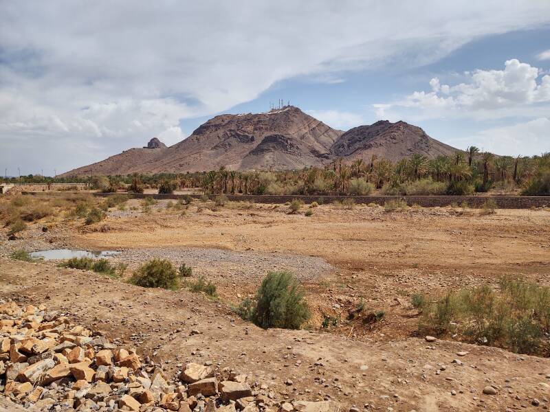
A bridge crosses the broad dry bed of the Draa. This is the view upstream, to the north.
The Draa still carries enough moisture for date palm groves.
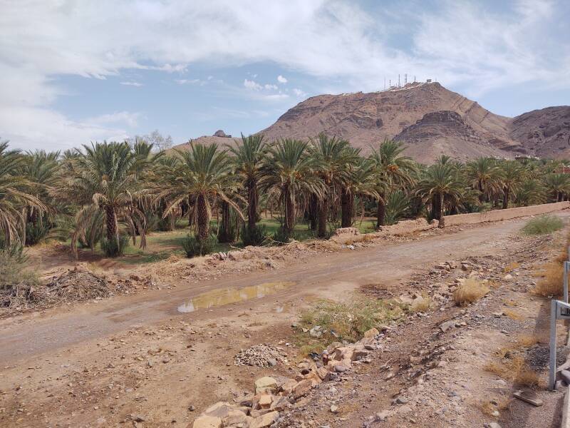
Drilling and pumping can still support date palms and vegetable gardens.
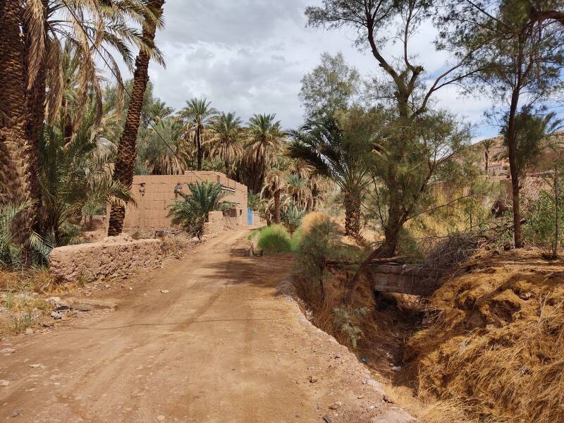
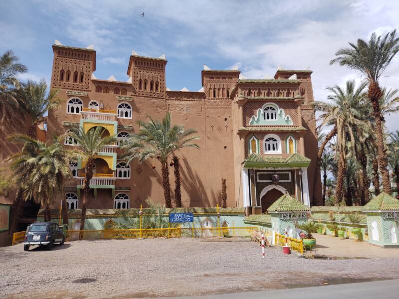
Some of Zagora's guesthouses are large and elaborate.
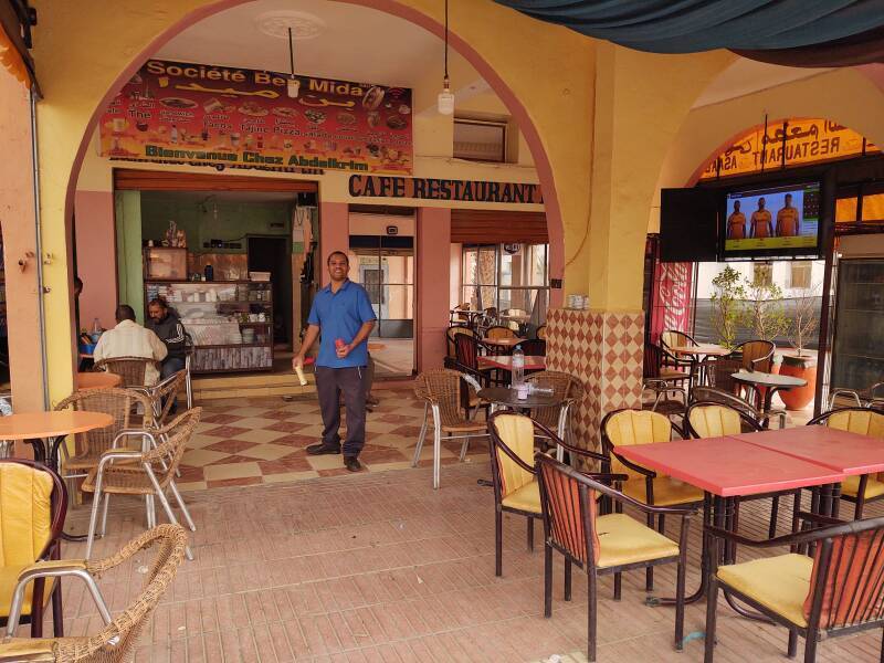
Back in the center of town, I was enthusiastically greeted for a late lunch in a café.
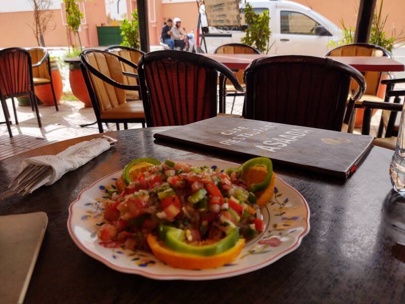
I started with a Moroccan style salad, to which they had added three orange slices.
Then chicken kebab.
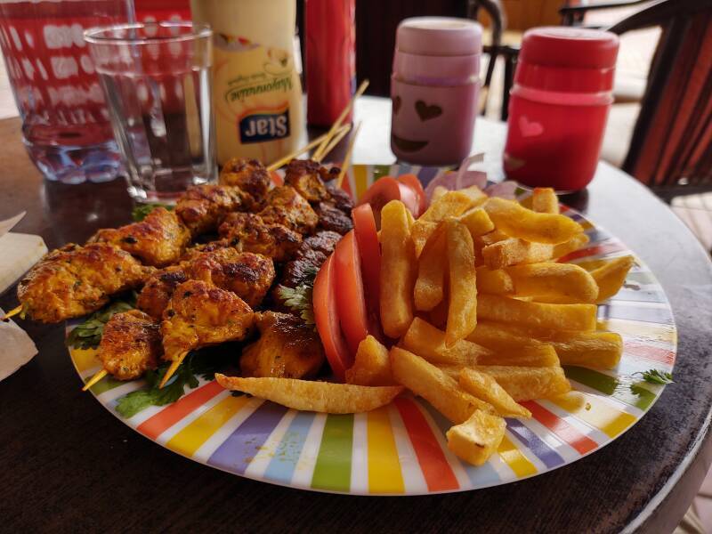
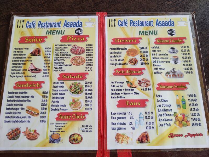
There were many choices.
Dusty Days
On one day I walked out beyond the edge of town and trekked up Jebel Zagora. It was sunny through the morning into early afternoon. But as I came back into town, the air filled with very fine dust.
The following day was similarly dusty.
Shops turned their lights on early.
I stopped at the shop on the corner to pick up more water.
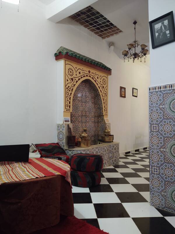
In the Evening
Dinner was available at my guesthouse. Then I could sit in the large shared room into the evening, reviewing notes and planning for the next day.
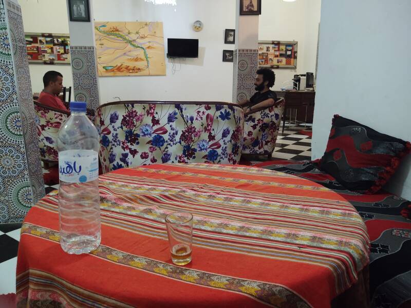
It was decorated with zellij tilework and an elaborate fountain.
The Arabic word وَادِي or وَاد is Romanized wādī for English speakers, or oued and ouadi in French maps and books. It refers to a valley that may be a riverbed that only contains water after infrequent heavy rainfall.