By Bus to Zagora
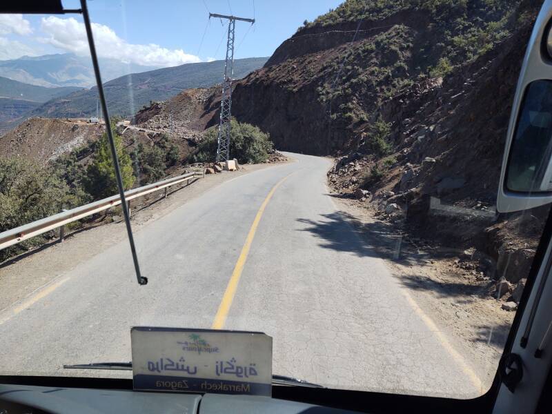
By Bus from Marrakech to Zagora
I was traveling southeast from Marrakech into the desert.
My ultimate destination was M'Hamid el Ghizlane
and the surrounding open desert, close to the Algerian border.
But first I would spend a few days in Zagora.
I had arrived in Marrakech on an overnight train.
But Marrakech is the end of the rail line,
other than returning north to Casablanca
or west toward the Atlantic coast and Essaouira.
I would take a bus southeast
through the Atlas Mountains to Zagora.
The 350-kilometer trip takes most of the day.
You might be able to cover the distance in six hours in a car,
but the bus takes seven hours with stops along the way,
two or three of them long enough to
get out and walk around a little.
I had a great seat in the first row,
so join me for the views as we
rolled through the mountains and into the desert.
Preparations
As I described on the page about taking the overnight sleeper train, when I arrived in Marrakech I immediately bought my bus ticket. The bus stations are close to the train station, and all of that is well outside the medina, the old city center where I would be spending my time.
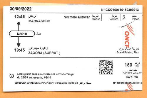
Yes, two bus stations, as there are two bus companies affiliated with the national government. CTM is the older one, the one that's obviously a government bus company. SupraTours is the newer operation, with newer buses and a less grim station atmosphere. And, in this case, a much better schedule. SupraTours routes appear when you search schedules on oncf-voyages.ma, the web site for the national railroad ONCF.
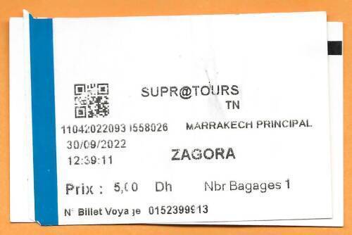
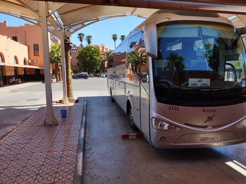
CTM had only offered an overnight trip to Zagora. But a SupraTours bus was to leave Marrakech at 12:45 and arrive in Zagora at 19:45. I bought a ticket for just 150 Dirham or about US$ 14. Plus, just before departure, another 5 Dirham for a piece of luggage.
I walked from where I had been staying, through the narrow lanes out to the edge of the medina. From there I took a petit taxi to the train station. Just 10 Dirham, taxis are cheap in Morocco. Then I walked around to the SupraTours bus station beside the train station.
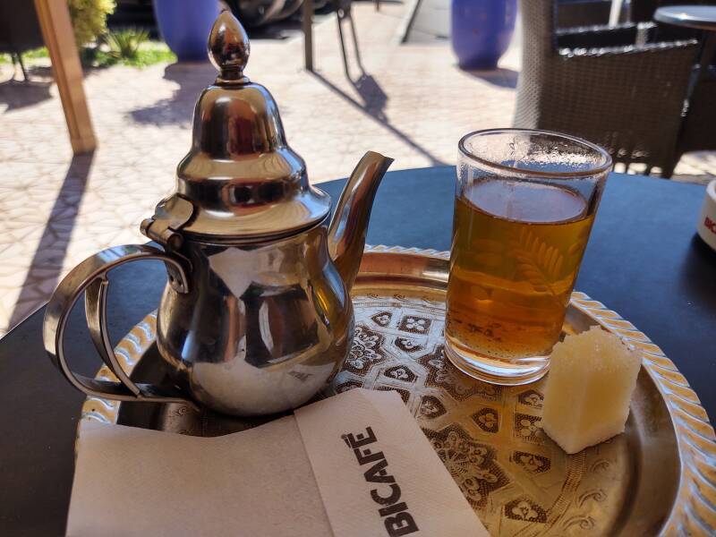
I arrived at the bus station over an hour ahead of time, as planned. I had seen that there was a tea shop next to the bus departure area. So, it was time for a small pot of hot sweet mint tea!
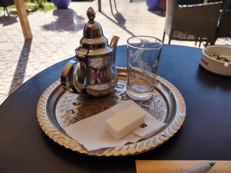
Notice that they brought me a sugar block instead of normal sized cubes of sugar. I estimated this block to be roughly two normal cubes wide, by four long, by one and a half thick. That is, roughly equivalent to 12 regular sugar cubes. All that sugar for two fills of a glass holding about 100 ml of tea.
I decided to go all out and use half of this block in the two glasses the teapot held. Here's the situation when I had poured the second glass and then held the block dipped into the tea as grains dropped off.
Stirred up, the tea was extremely sweet. Plus minty, as the teapot was stuffed with a handful of spearmint leaves and stems.
I thought that tea was sweet. But when I got to M'Hamid el Ghizlane, I watched my innkeeper break up a similar block and put all of it into a teapot no larger than this one.
Boarding
This was my bus to Zagora.
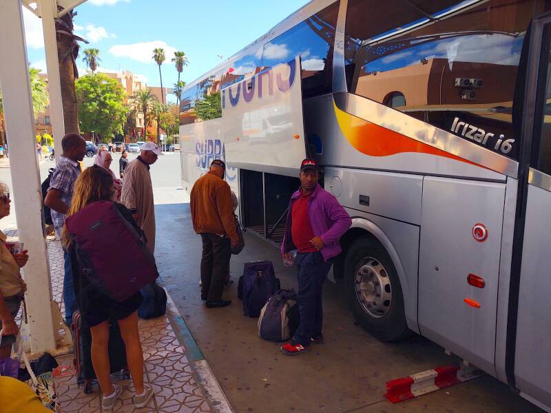
They started loading passengers and bags, directing us over to the baggage office in the station to pay the 5 Dirham bag fee.
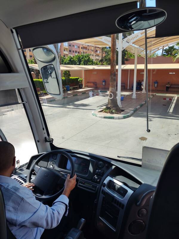
The Man in Seat 61, an excellent source of travel information, names his online persona for what he finds to be the ideal seat on Eurostar between London and continental Europe through the Channel Tunnel.
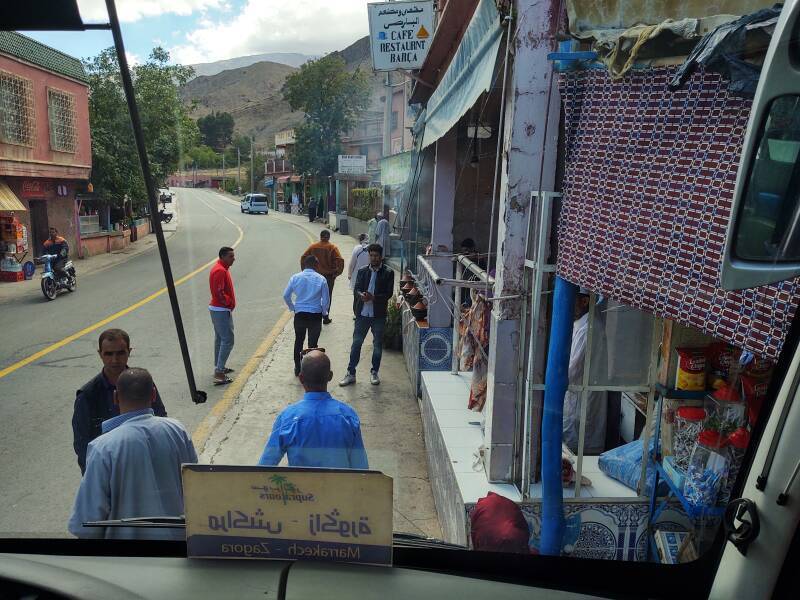
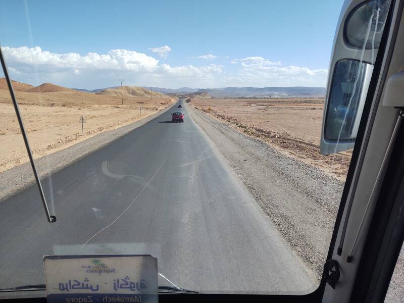
My ticket was for seat 3, which must be the equivalent for bus travel. In the front row just to the right of the aisle, looking over the driver's shoulder and out through the windshield. What a nice seat!
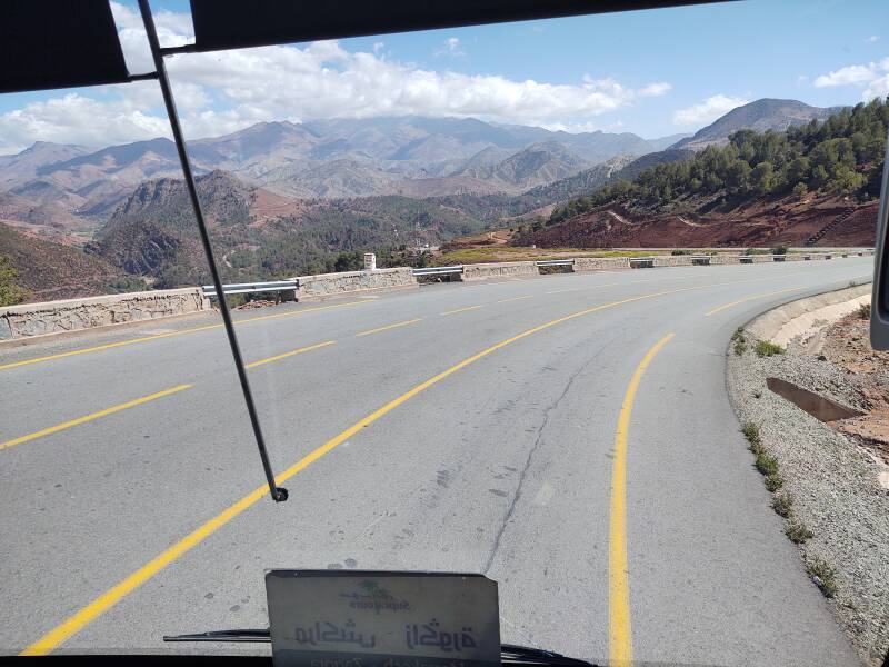
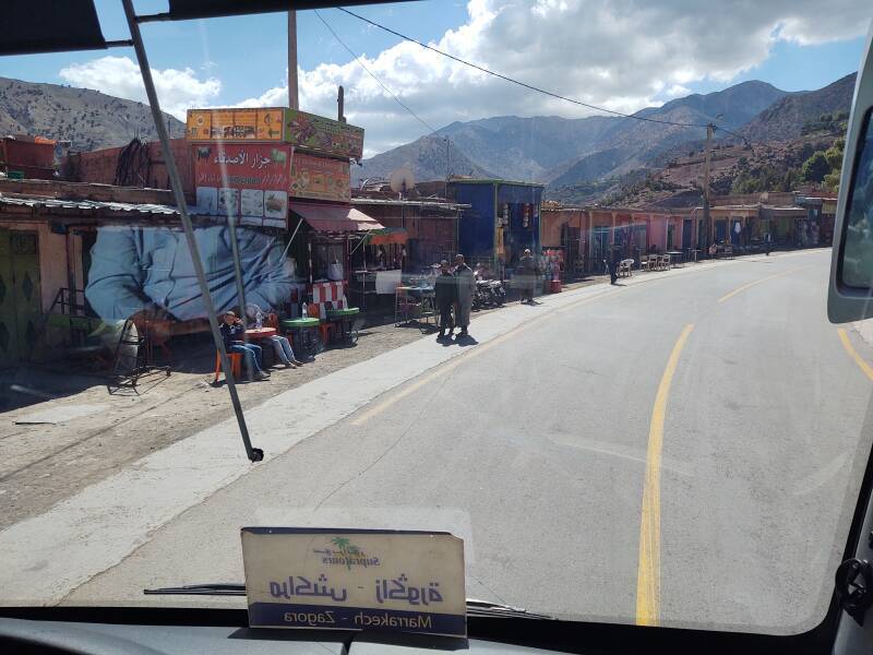
Starting Southeast
Yes, seat #3 is the place to sit.
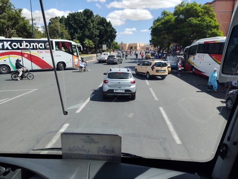
You have great views of exciting chaos.
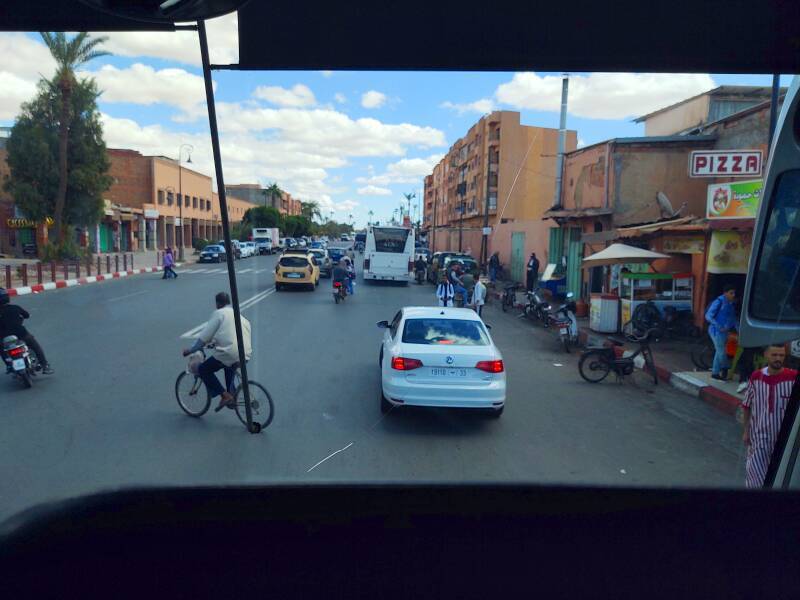
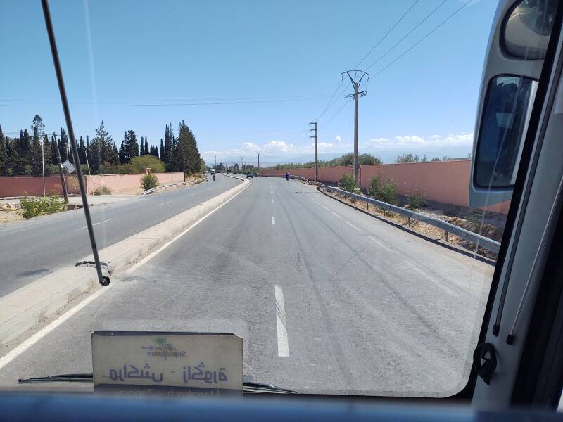
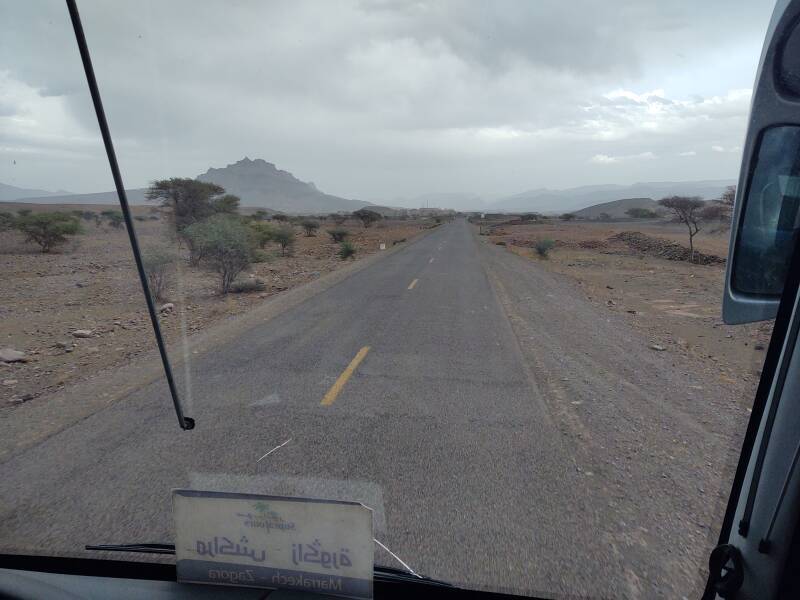
Before long we were well outside the city on the highway leading east toward the mountains.
This is National Highway N9. It runs southeast from Marrakech through Zagora to where it ends at M'Hamid el Ghizlane, only 24 kilometers from the border with Algeria.
The below 1:2,000,000 topographic map shows the terrain as we traveled southeast from Marrakech, through the High Atlas mountain range to Ouarzazate, beyond there through the Anti-Atlas range through Agdz and on southeast along the Dra River, and off the edge of that map to Zagora.
outh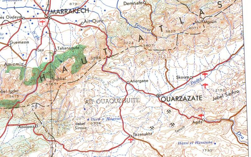
Small portion of 1:2,000,000 U.S. Army Corps of Engineers map compiled in 1969, from the Perry-Castañeda Library Map Collection at the University of Texas at Austin. Elevations in meters, contour interval 200 meters.
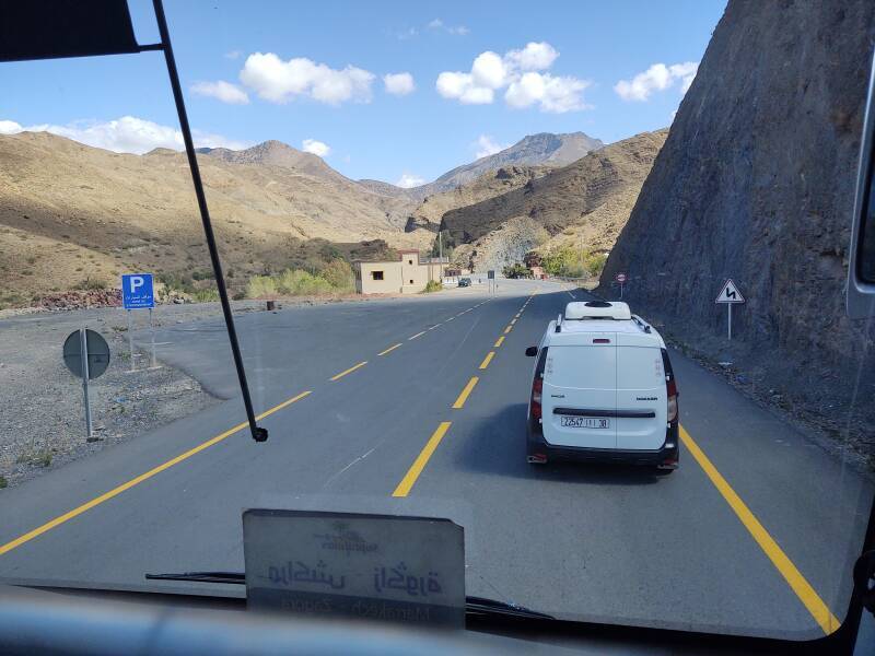
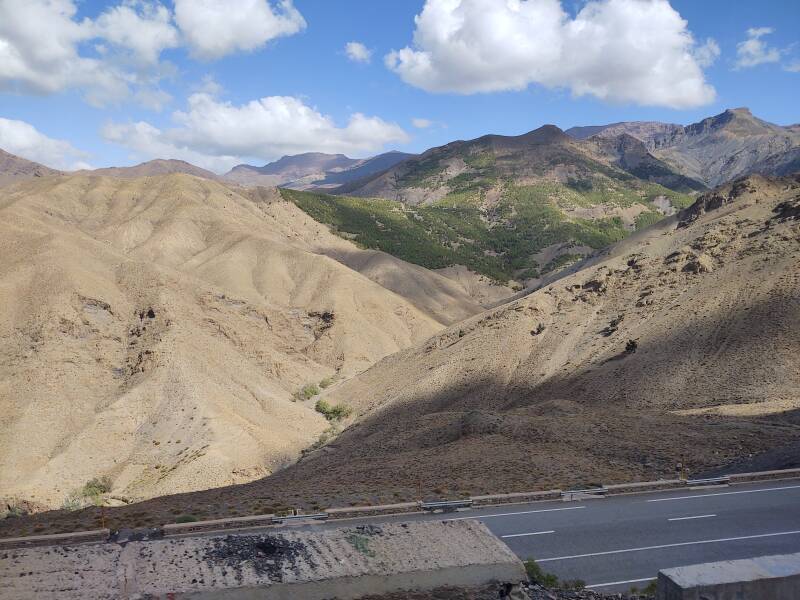
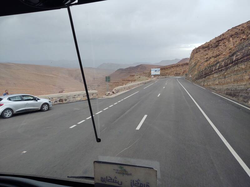
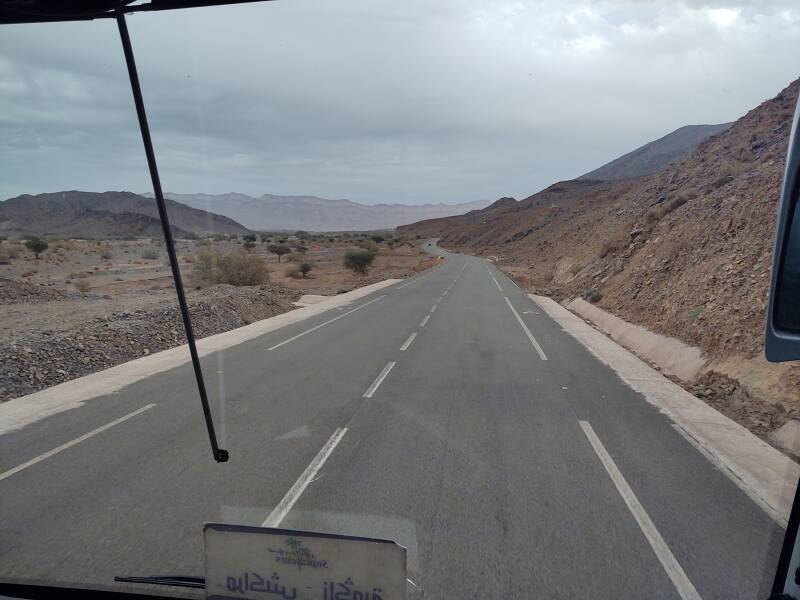
Into the Atlas Mountains
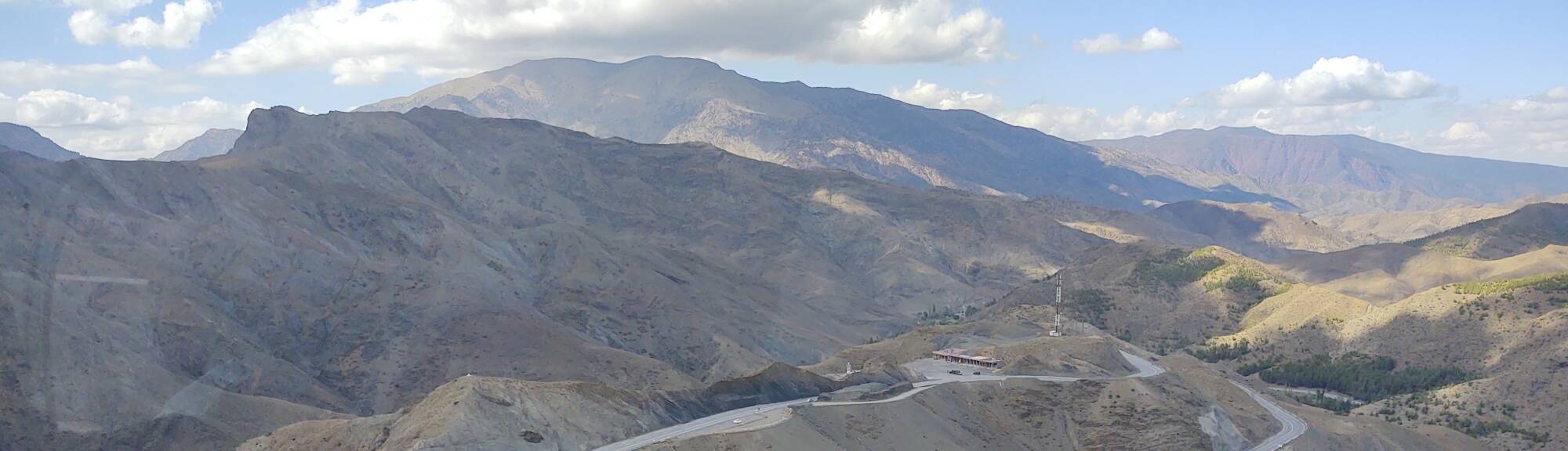
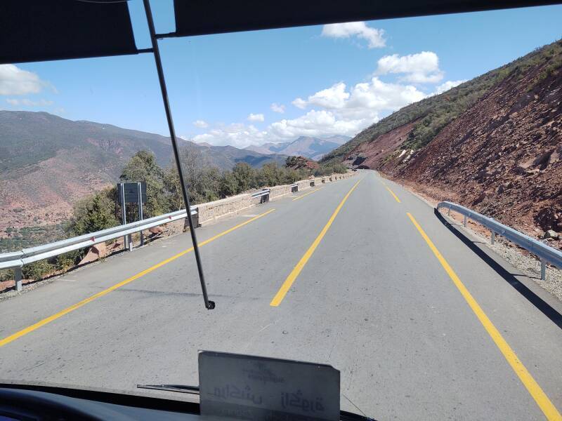
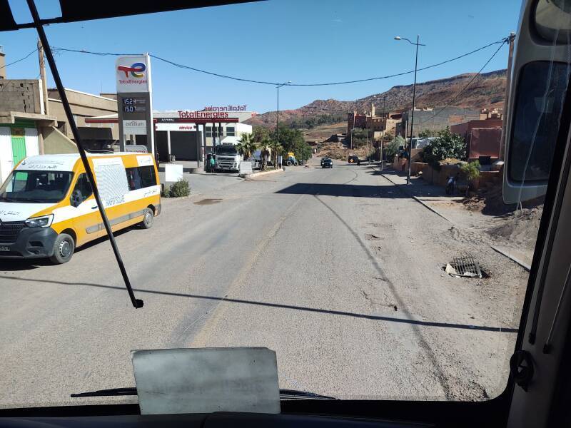
The highway climbed into the Atlas Mountains. Marrakech is at an elevation of 466 meters. We would climb to the highest point of the trip at about 2,200 meters at Tizi N'tichka, descend to about 1,151 meters around Ouarzazate, climb again to about 1,700 meters, then descend again to about 720 meters at Zagora.
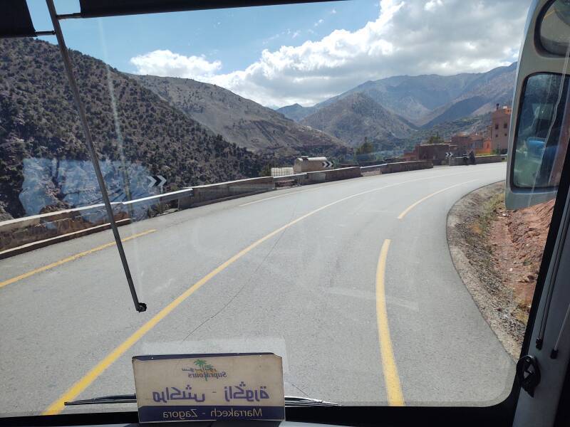
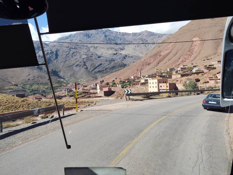
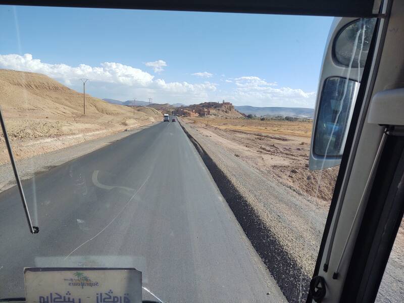
Zerkten to Taddart Izdar
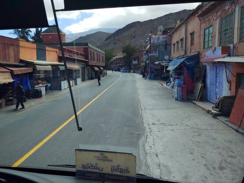
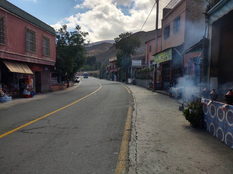
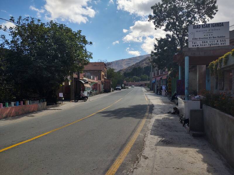
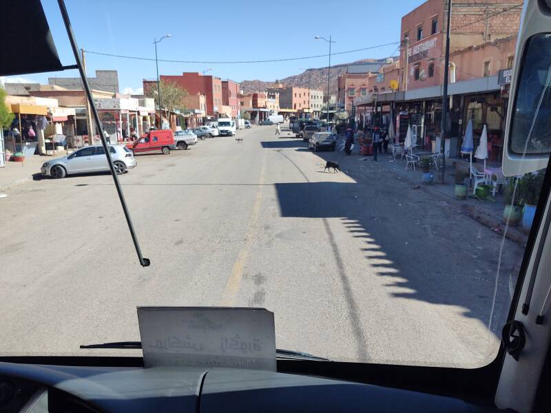
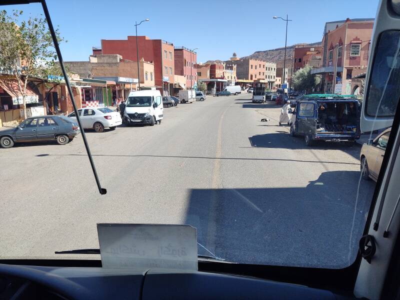
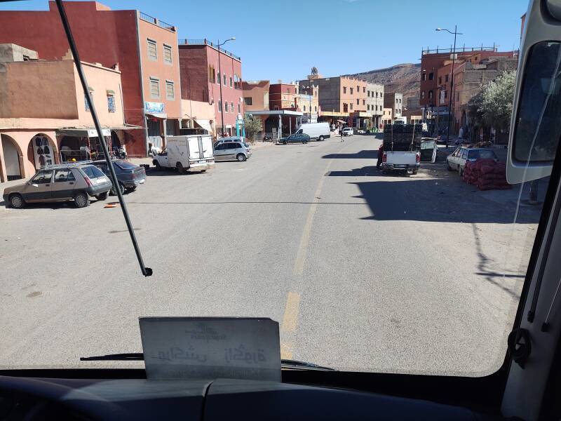
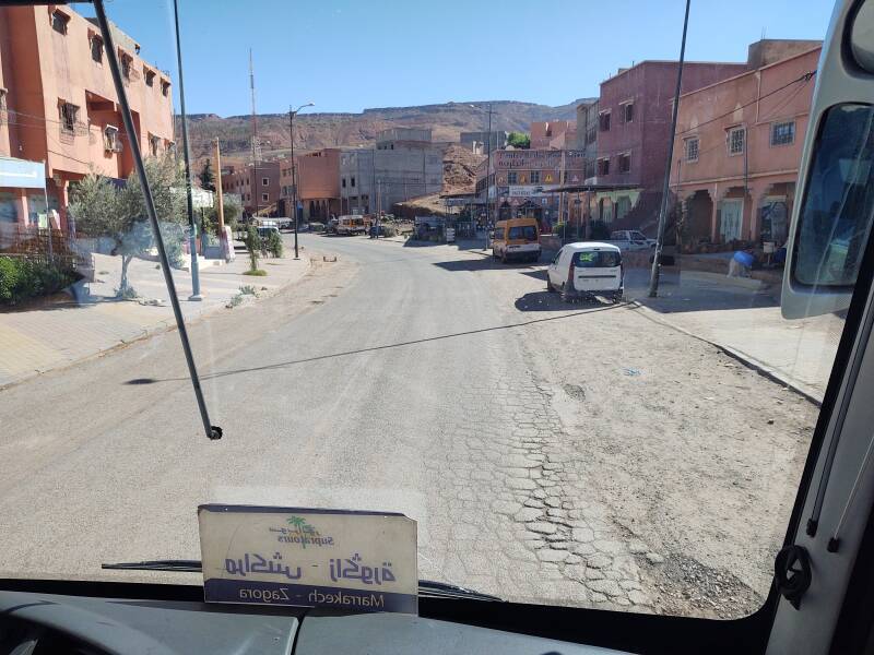
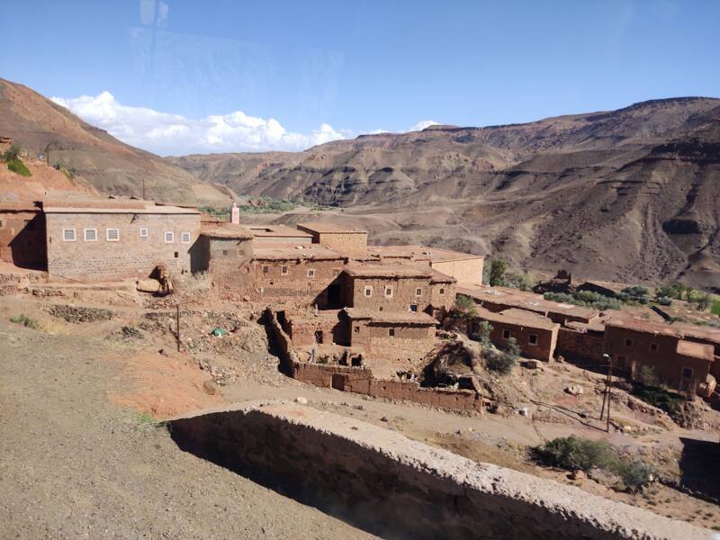
The town of Zerkten is at an elevation of about 1300 meters. Like many of the towns along the route, it's long and narrow with most buildings alongside the highway.
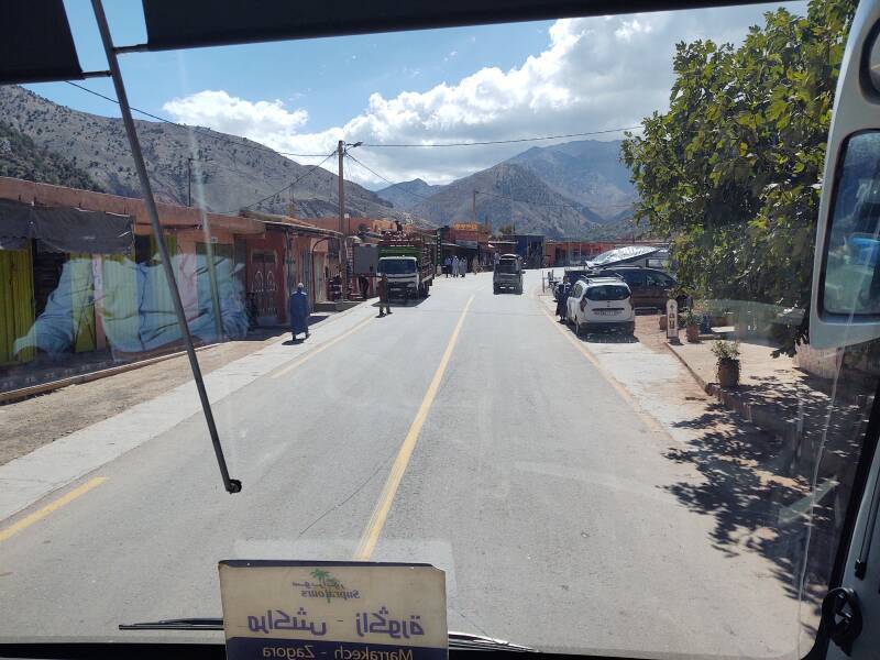
Stopping at Taddart Izdar
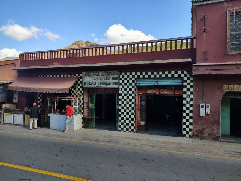
Taddart Izdar, between Ait Ben Ammar and Taddart Oufella, is around 1600 meters elevation. We stopped here for about 30 minutes, two hours into the trip.
This restaurant's terrace is very panoramic, as the ground behind it drops maybe two hundred meters within a short distance.
Soon it was time to get back on the bus. Yes, the driver quickly checks his seating chart to avoid leaving someone behind.
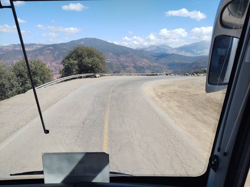
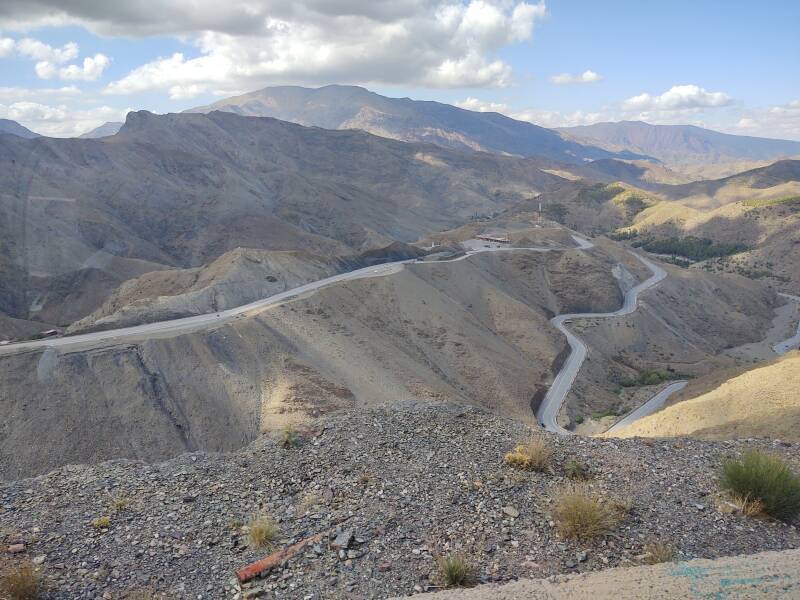
We climbed higher as the road became more twisting.
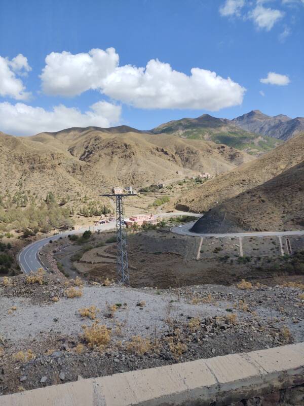
Continuing into the Mountains
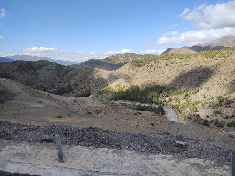
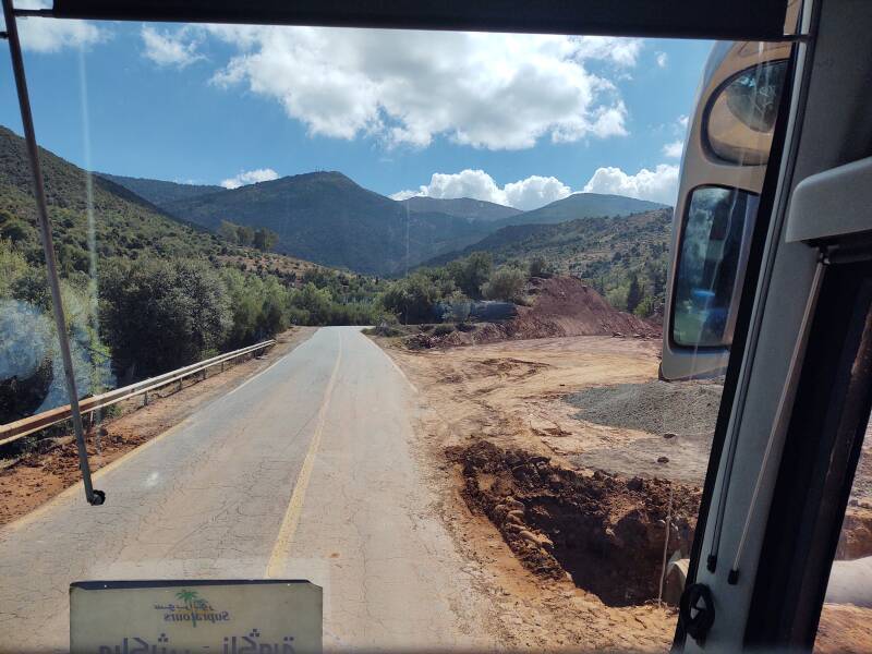
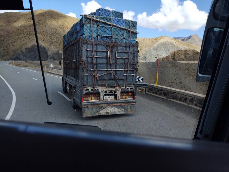
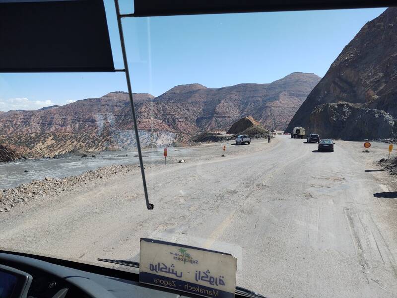
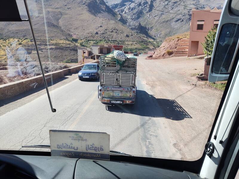
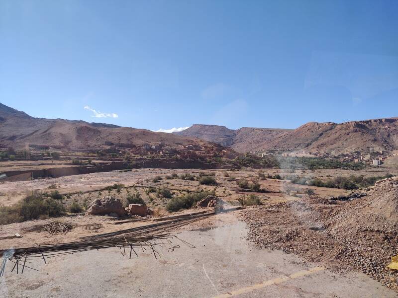
Some of the trucks were heavily loaded, but our bus could easily pass them.
We passed through several construction projects.
I was very impressed by all the infrastructure improvement that was underway in Morocco.
The high-speed rail line from Kénitra to Tangier was being upgraded from 220 kph service to full 320 kph TGV capability. A TGV line was being built between Casablanca and Marrakech. And, a new rail line west from Marrakech to the coast. Plus, there were several national highway upgrade projects.
This truck has sheep inside the rear compartment, and also up on top.
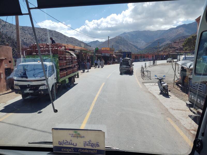
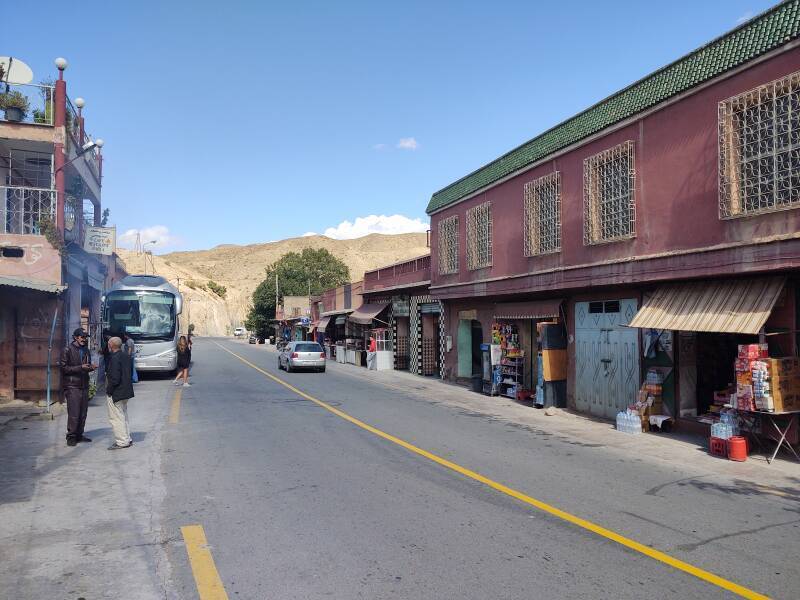
Agouim to Amerzgame
Agouim is a larger town at around 1700 meters. We passed through on this day, but we stopped here for 30 minutes on my return trip.
The gas station near the edge of Agouim had diesel for 15.24 Dirham per liter, and lead-free gasoline for 15.07 Dirham. That works out to about US$ 5.37 and US$ 5.31 per U.S. gallon, respectively. Almost the same price for both fuels, and very little variation across the country.
In the U.S. I'm accustomed to seeing diesel costing about 1.5 times what gasoline costs, and with all prices significantly higher in more remote locations and especially higher in cities. Because that's what fuel companies do. Back at home, on the day I was writing this page, the local price was US$ 3.27 for gasoline and US$ 5.37 for diesel. That made local diesel the same cost as what I saw in Morocco, and over 1.6 times the local price of gasoline.
Things flattened out around Amerzgame, where we were at 1400 meters.
Well, largely flat. But not entirely so.
Through Ouarzazate
I saw something strange in the distance as we were approaching Ouarzazate.
An enormous tower was visible in the distance. It was the Ouarzazate Solar Power Station, ten kilometers north of Ouarzazate and about thirty kilometers from this viewpoint. It's part of Morocco's mid-2010s plan to be generating over 52% of its national electrical power from renewable sources by 2032.
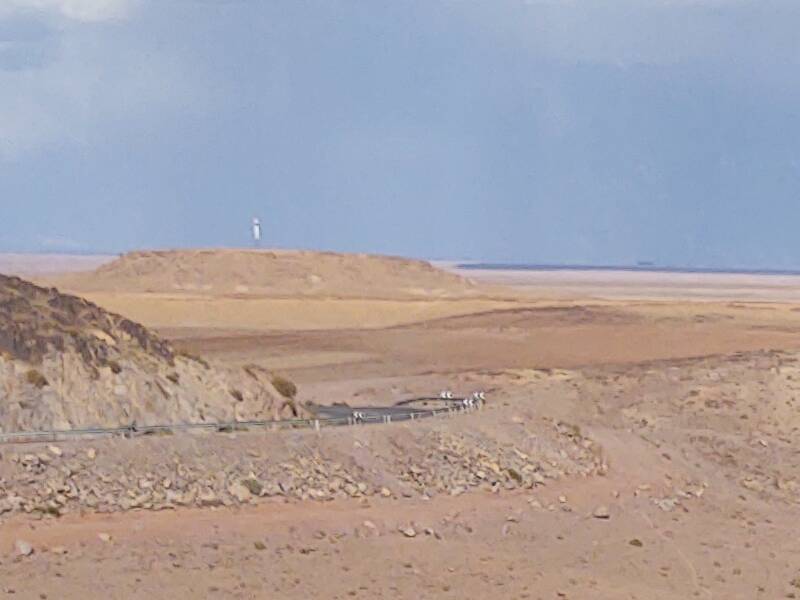
Its concentrated solar power or CSP systems generate 510 MW of electrical power, making it the world's largest CSP plant. Mirrors concentrate sunlight to boil water and drive turbines that spin generators. An additional 72 MW of photovoltaic arrays brings the total plant capacity to 582 MW. The first phase of the system was connected to the national grid in February 2016.
The initial two phases of CSP use parabolic trough collectors mounted just above the ground. The third phase, commissioned in January 2019, steers flat mirrors to reflect light to the top segment of a 250 meter tower which glows white-hot. That's what I was seeing from thirty kilometers away.
The system heats molten salt to store energy and continue producing electricity for at least eight hours after the sun sets.
This is the fifth utility-scale CSP tower to be built, and only the second with energy storage. And, at least when I was there in 2022, it was the world's most powerful CSP system.
The 2005 movie Sahara depicts a central tower CSP similar to this one.
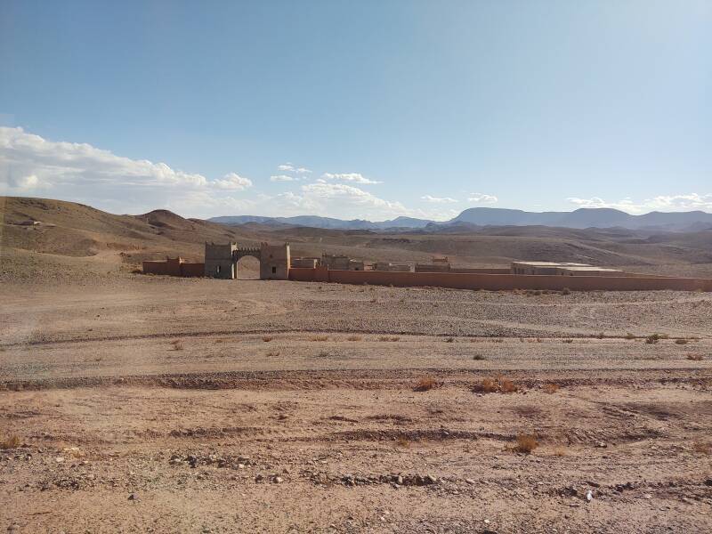
Speaking of which, the strange sights continued as we neared Ouarzazate. There were kasbahs or fortifications, common in this region. But some only had two or three sides. Who builds just half of a kasbah?
Movie studios.
Ouarzazate is a big part of Morocco's booming film industry. Moroccan companies make films, and studios in France, the UK, the US, and elsewhere come to Morocco to make films. There's a wide range of settings, and a large work force with specialized skills. Sahara was filmed in Morocco, but before the solar power plant was finished. The solar power plant you see in the movie is all CGI.
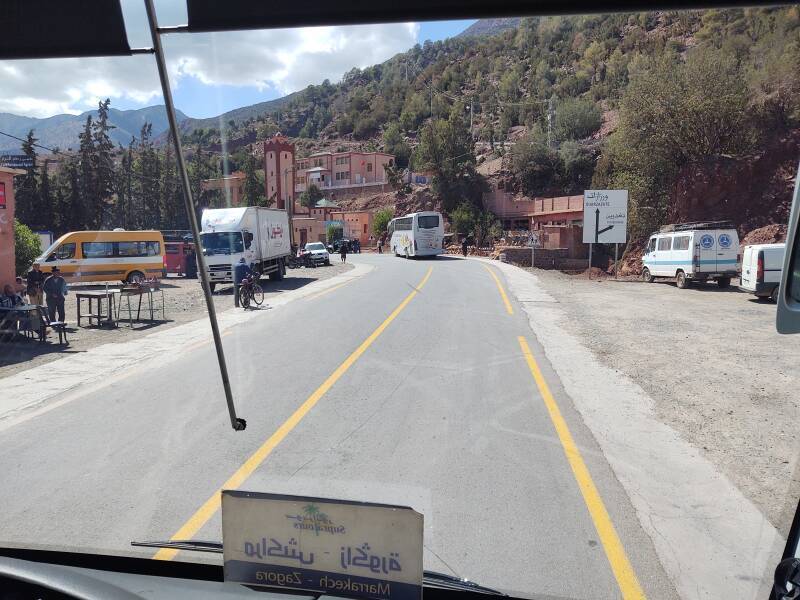
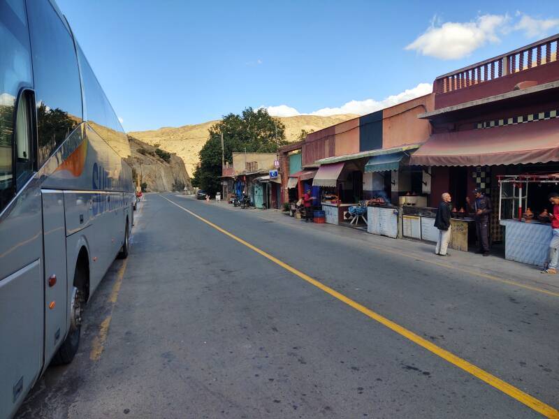
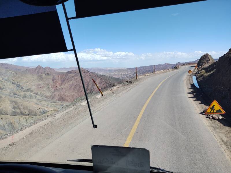
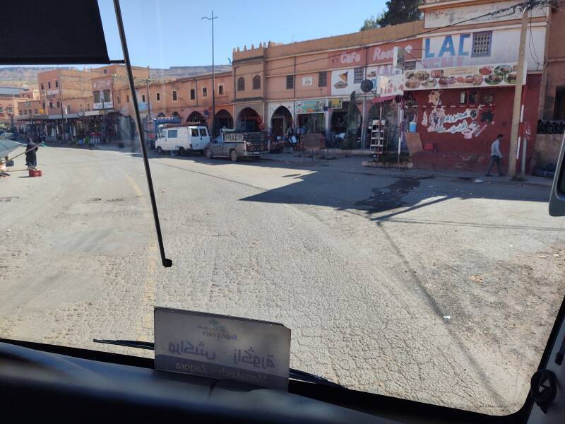
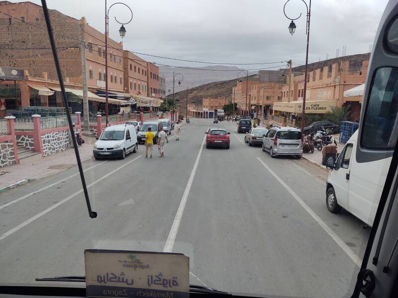
We stopped for about ten minutes in Ouarzazate, a city of a little more than 72,000 people. Then we quickly got back on the road. There was another range of the Atlas Mountains to cross. Dark clouds were moving in, and the wind was picking up dust.
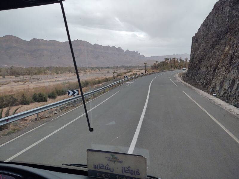
Agdz
That's Djebel Kissane in the distance.
Amazon B0000DIZQQ
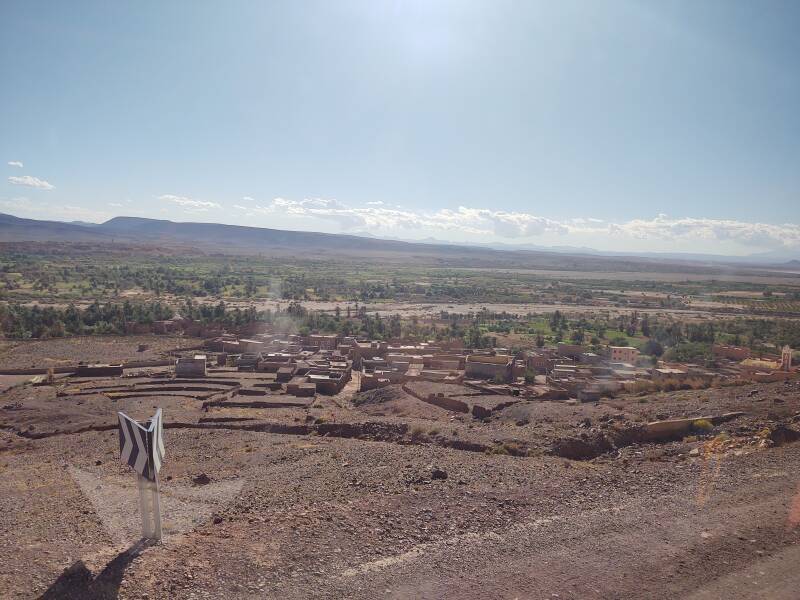
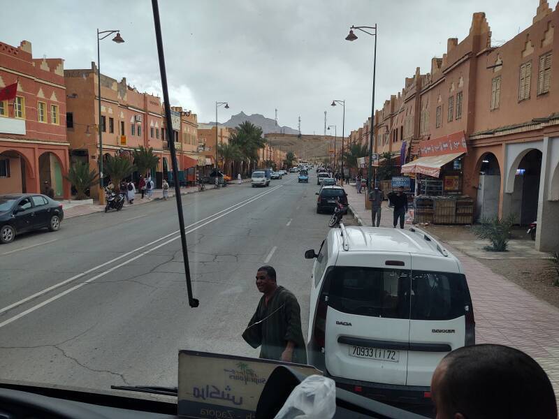
Agdz has a population of about 10,000. The name means "resting place", as it was an important station along the old caravan route linking Marrakech and Timbuktu.
We just made a brief stop to drop off two or three passengers at the SupraTours office.
From here it's another 90 kilometers to Zagora. We would pass closer to Djebel Kissane as we continued east out of Agdz.
The Arabic word وَادِي or وَاد is Romanized wādī for English speakers, or oued and ouadi in French maps and books. It refers to a valley that may be a riverbed that only contains water after infrequent heavy rainfall.
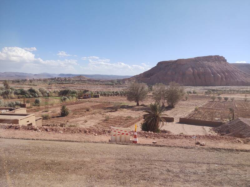
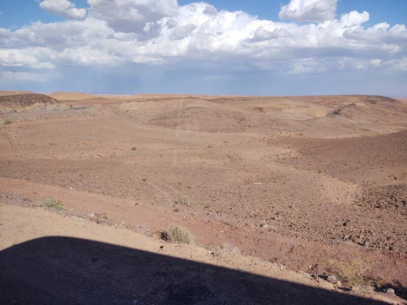
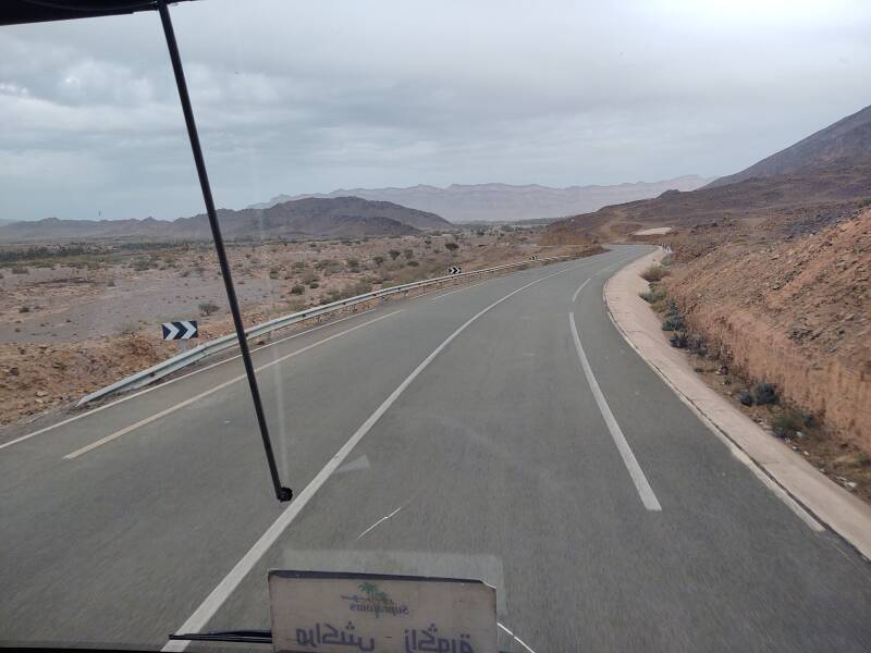
From Agdz the road is mostly level, slowly descending as it continues along parallel to Oued Drâa or the Draa Wadi. The road slowly descends from an elevation of about 900 meters while bluffs to the north rise to 1,600 meters.
The Draa is Morocco's longest river, at 1,100 kilometres. But it isn't at all wide or deep. For much of it, there's no visible water at all.
The Draa flows out of the mountains and southeast to Tagounite. It curves from southeast to west to flow to the Atlantic Ocean a little north of Tan-Tan.
Most of it isn't a river as I think of one. It's a wadi, a channel that carries some moisture.
Its limited moisture irrigates date palm groves and small farms. The Draa valley is Morocco's date farming center. Fruit trees, vegetables, and henna are grown through here. Khettara or qatarra, irrigation tunnels known as qanat far to the east, have been used for irrigation for centuries.
Now the water supply is dropping even further. The "green zone" along the wadi has averaged about 3 kilometers wide but now it is shrinking.
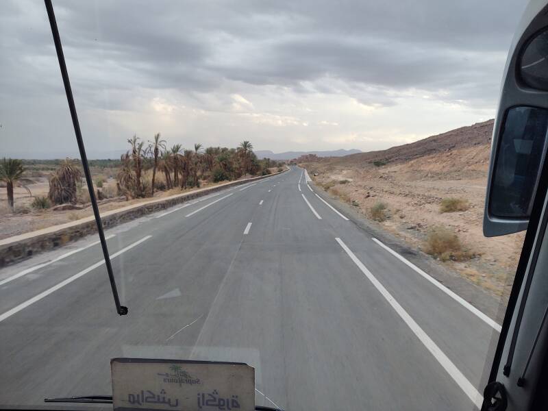
Tamezmoute and on to Zagora
Tamezmoute is the largest settlement between Agdz and Zagora. From here there was just 55 kilometers left to go.
Tamezmoute is shown as Tilmesla on this small section of a 1972 map from the U.S. Department of Defense. Agdz is in the northwest corner, Zagora in the southeast. The wadi and road joining them wind between areas of high terrain.
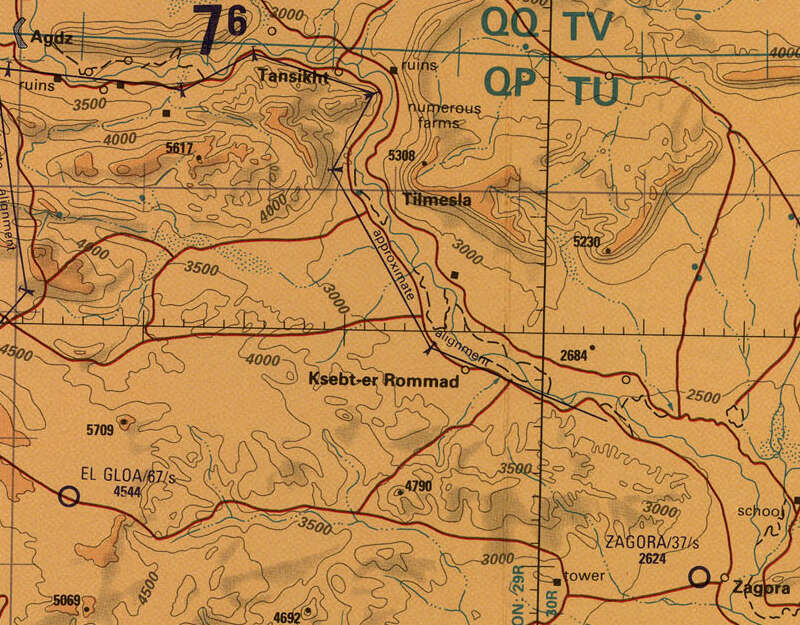
Small portion of 1:500,000 Tactical Pilotage Chart TPC H-2A from the Perry-Castañeda Library Map Collection at the University of Texas at Austin.
The next map zooms out from 1:500,000 to 1:1,000,000 scale.
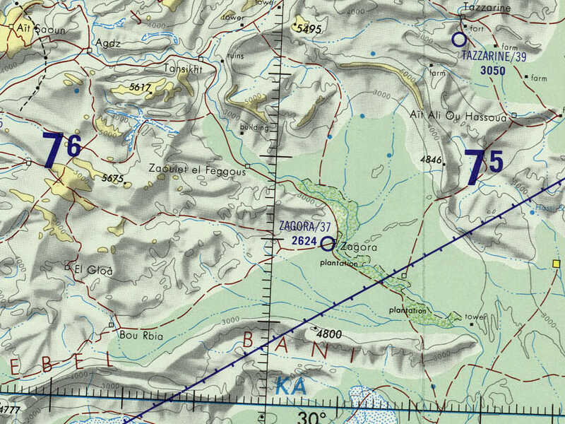
Small portion of 1:1,000,000 Operational Navigational Chart ONC H-2 from the Perry-Castañeda Library Map Collection at the University of Texas at Austin.
The upper Draa wadi has six stretches of palm groves over two hundred kilometers, the first around Agdz, the third at Zagora, and the sixth at M'Hamid el Ghizlane at the end of the highway.
Soon after taking that last picture, the clouds became thicker and darker, and then rain began hitting the windshield.
About thirty minutes later we arrived in Zagora. It was completely dark and raining.
Guesthouses at Booking.comI had reserved a room at the Karim Sahara guesthouse through Booking.com. That ties in to Google Maps and provides a messaging interface. I had told my innkeeper that I would be on the bus, scheduled to arrive at 19:45. He came to the bus stop and met me, and we took a petit taxi to the guesthouse.
I asked him if I had happened to arrive during the time of year that rain is most likely.
He explained that rain is not likely at any time of the year. "The last time that it rained like this was eight years ago."
At the time:
1 Dirham = 0.093 US$
10.75 Dirham = 1 US$
or, close enough:
10 Dirham ≈ 1 US$