Along the Coast Road
Coast Road from Sitia to Agios Nikolaos
I had been exploring eastern Crete, staying in Sitia
and visiting sites from the Minoan era, Ancient Greece,
Hellenistic, Byzantine, and even the past few centuries.
Now it was time to return to Iraklion.
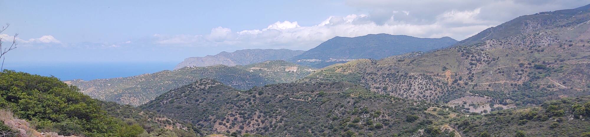
The below map shows the first part of this trip,
which had the spectacular views because of the path
through the mountains near the Aegean coast of Crete.
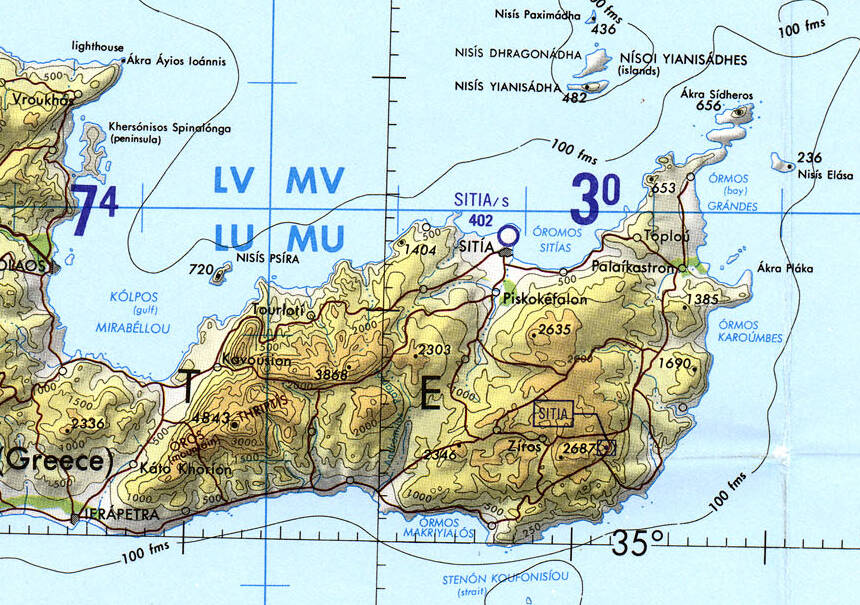
Tactical Pilotage Chart G-3C from the Perry-Castañeda Library Map Collection at the University of Texas at Austin.
I would be leaving Sitia on the coast highway. That was putting me onto one end of a very long highway. Sitia is at the southern end of European route E 75, part of the International E-road network in Europe. The far end is at Vardø, Norway, on the Barents Sea. E 75 is a series of highways running from the Arctic coast of Norway to the eastern end of Crete. Parts of it are marked as E65, A90, and 90 on maps of Crete.
E 75 includes 4,380 kilometers of road plus two long ferry links; one across the Baltic Sea from Helsinki to Gdynia or Gdańsk, and the other across the Aegean Sea from Piraeus to Chania at the west end of Crete. The road runs through Norway, Finland, Poland, Czech Republic, Slovakia, Hungary, Serbia, North Macedonia, mainland Greece, and Crete.
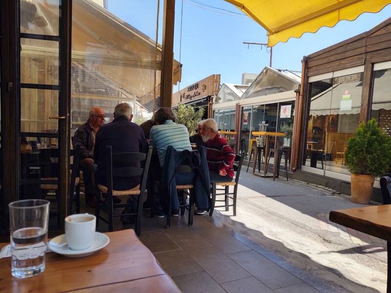
I went down to the waterfront for one last morning of coffee and planning. World championship backgammon was underway.
The first part of the trip, as far as Agios Nikolaos, is shown on this map. At Agios Nikolaos the road would transition into an expressway with multiple lanes in each direction.
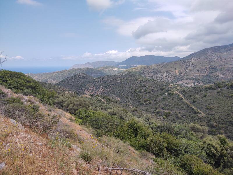
But first, the road west from Sitia through the mountains.
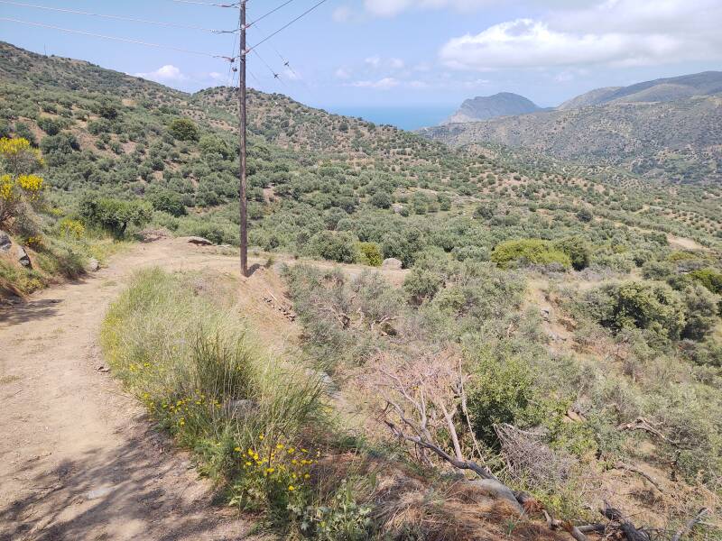
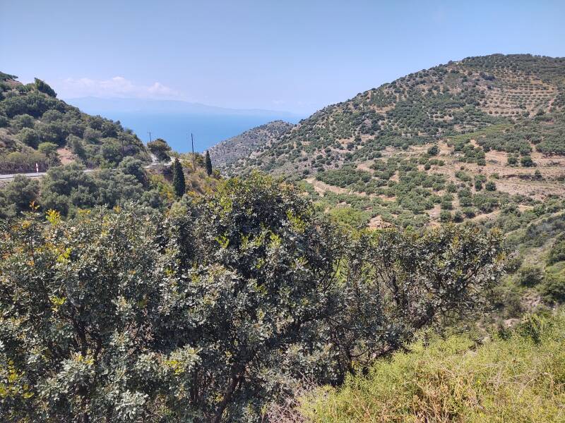
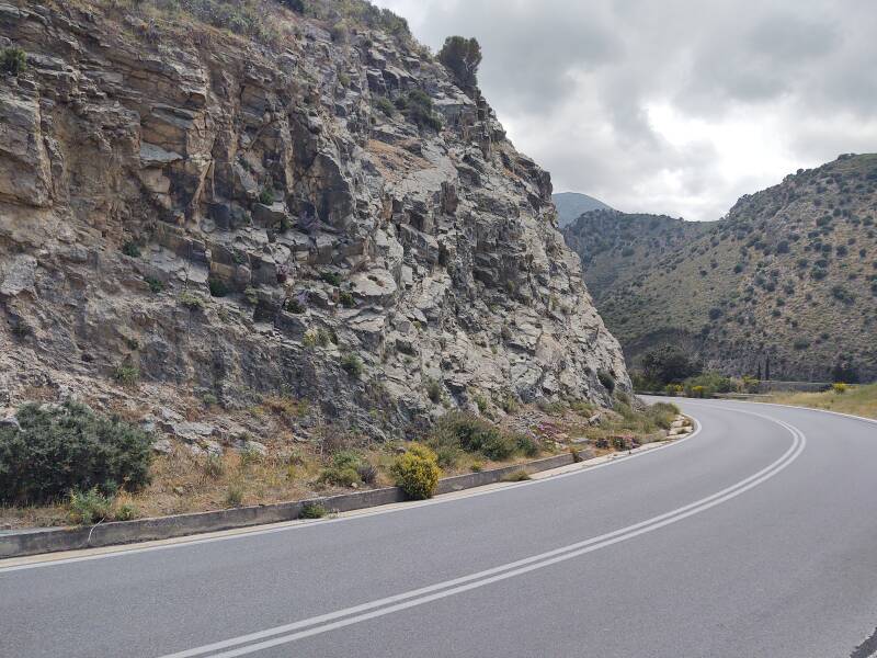
It's a two-lane highway from Sitia to Agios Nikolaos, with narrow shoulders for much of the initial part through the mountains. Narrow dirt lanes to farms directly connect to the highway, usually providing a place to pull off.
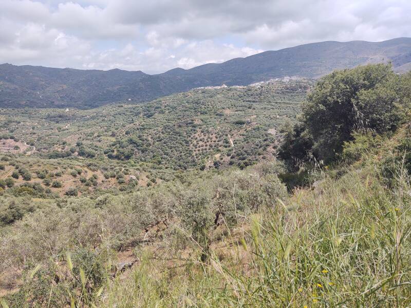
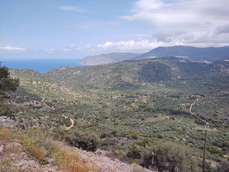
Looking ahead we see the next section of road. The high land faintly visible in the distance is across the large bay, beyond and above Agios Nikolaos.
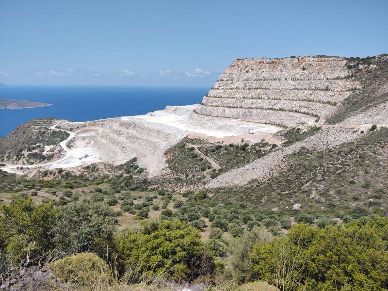
At a later stop I noticed that the water near the shore was an unusual light color, with a distinct edge between it and the open sea.
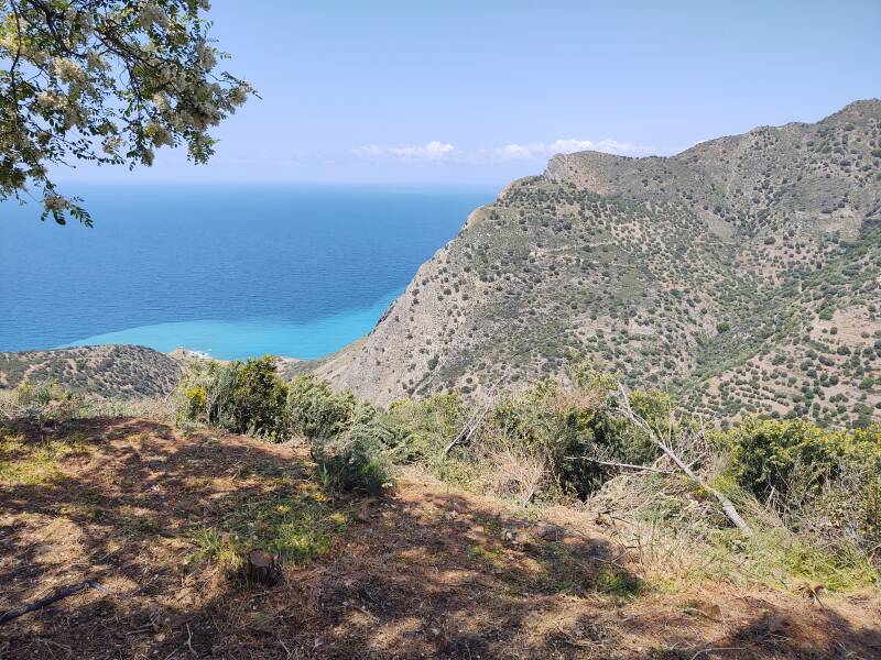
Greek, like Russian, names two distinct colors while English describes them as dark and light shades of blue.
| English | Greek | Russian |
| dark blue | μπλε | синий |
| light blue | γαλάζιος | голубой |
The shoulders are narrow to non-existent.
A huge limestone quarry appeared. It was the source of the discolored water.
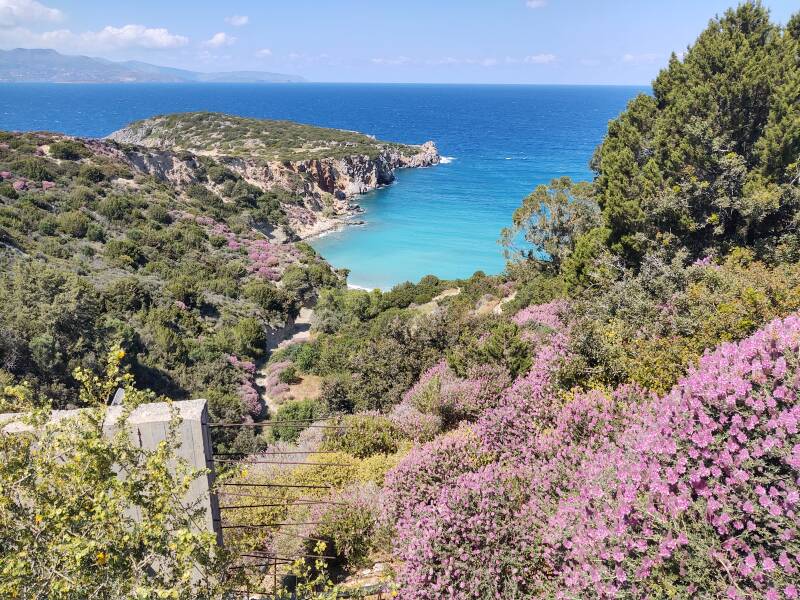
From here it was a short drive onward to Agios Nikolaos, where I got on the expressway to Iraklion.
Next❯ Aegean coast Heraklion to Malia
Or, Continue Through Greece:
Where next?