Sitia and Nearby Sites
Around Sitia
I had driven from Ierapetra to Sitia
and was ready for my first evening there.
The next morning I would see visit some historic sites
close to Sitia.
First, to the old Orthodox bishopric of
Kato Episkopi,
contrasting it with the Roman Catholic bishopric of
Epano Episkopi that I had visited on my way through
the eastern highlands.
Then, to a Minoan villa
near the village of Zou.
First Evening in Sitia
Guesthouses at Booking.comI had rented a very nice place to stay at Sergio's Apartment, and I got unpacked and cleaned up. Then I started down the hill toward the harbor. This part of Sitia is on the fairly steep hill leading up from the harbor to the airport on the plateau above the town.
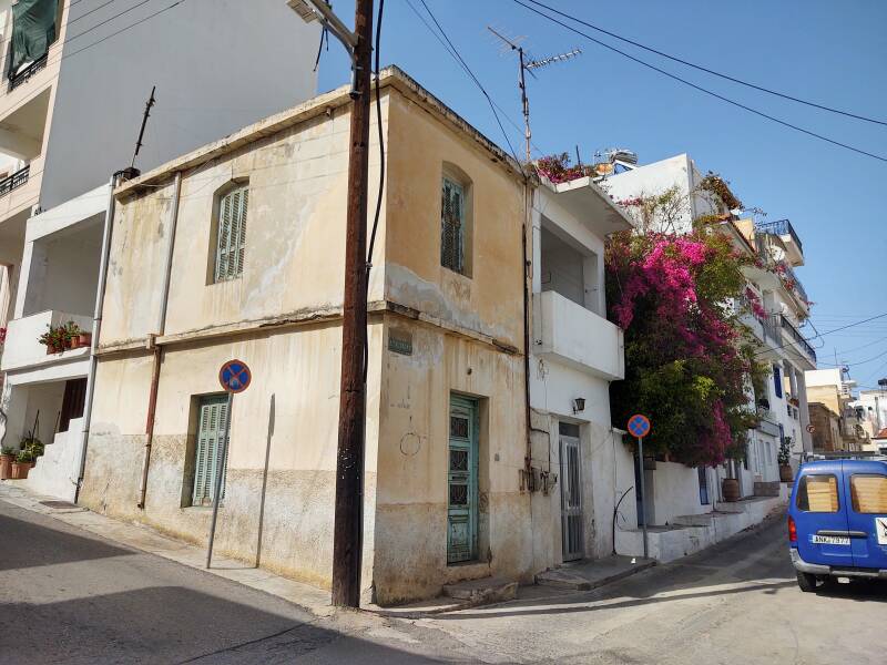
I started down Katapoti street, the main street leading toward the center. My place was at an elevation of 60 meters above the harbor.
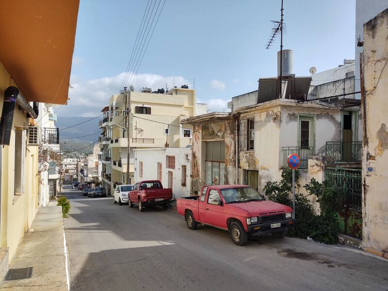
Katapoti is steep.
Nearing the bottom of the hill, I noticed a tunable HF beam antenna on an apartment building. A amateur radio operator lives there!
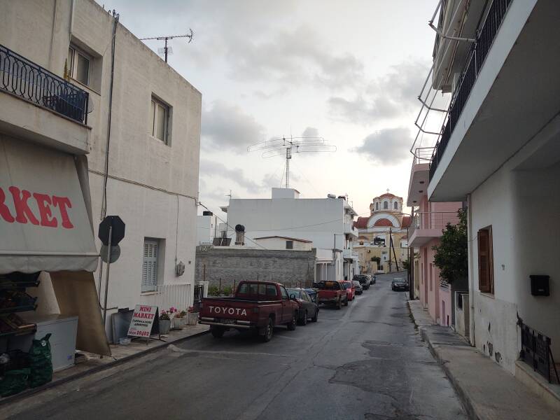
Radio
Page
The ITU has allocated the J4A-J4Z and SVA-SZZ callsign blocks to Greece. Greek airliners have registration numbers, which are used as radio callsigns, starting SX.
Maritime callsigns, for the many ferries and cargo ships, will be in those SVA-SZZ and J4A-J4Z blocks. For example, the Minoan Lines ferry Festos Palace is assigned the callsign SVDA8.
Because of both history and religious administration, Greece has multiple blocks of amateur radio callsigns.
The Great Powers, meaning Britain, France, and Russia, saw themselves as Adult Supervision for Europe. They recognized Greece's autonomy from the Ottoman Empire in 1828 after the Greek War of Independence.
However, the Ottoman Empire retained control of Crete until 1898.
The Ottomans still held onto the Dodecanese, the "Twelve Islands" close to the Turkish coast. Then in 1912 Italy occupied all of the Dodecanese except Kastellorizo, a small island just 2 kilometers off the southern coast of Turkey and 125 kilometers east of Rhodes.
After World War II, the Paris Peace Treaties of 1947 gave all of the Dodecanese, including Kastellorizo, to Greece.
Finally, the monastery of Mount Athos has special jurisdictional control of its peninsula in northeastern Greece. And so, Greece counts as four separate "entities" in contests and other competitions, with their own callsign prefixes:
| SV, SZ, J4 | Greece |
| SV5, J45 | Dodecanese |
| SV9, J49 | Crete |
| SV2A, SY | Mount Athos |
An amateur radio operator in Crete would have a callsign similar to SV9ABC, for some combination of 1, 2, or 3 letters in place of "ABC". SV1XYZ would be somewhere in Green in general, but not in the Dodecanese, Crete, or Mount Athos.
Nearing the bottom of the hill I passed the Minoa movie theater. It has Minoan "horns of consecration" as its trademark!
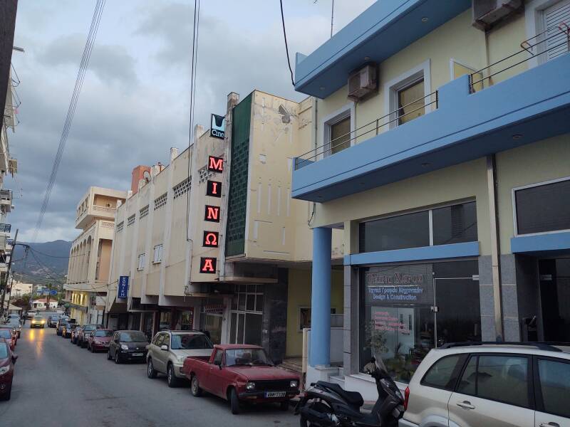
There was a settlement here in late Neolithic times, before 3000 BCE. Then Sitia was settled by the Minoan people during the Bronze Age. It continued to be a significant port through the Mycenaean, Classical Greek, Hellenistic, Roman, and Byzantine periods.
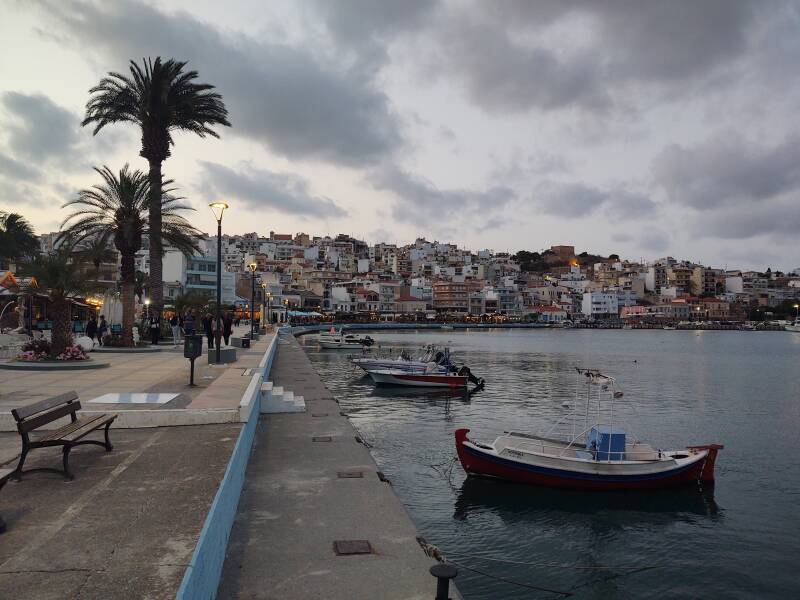
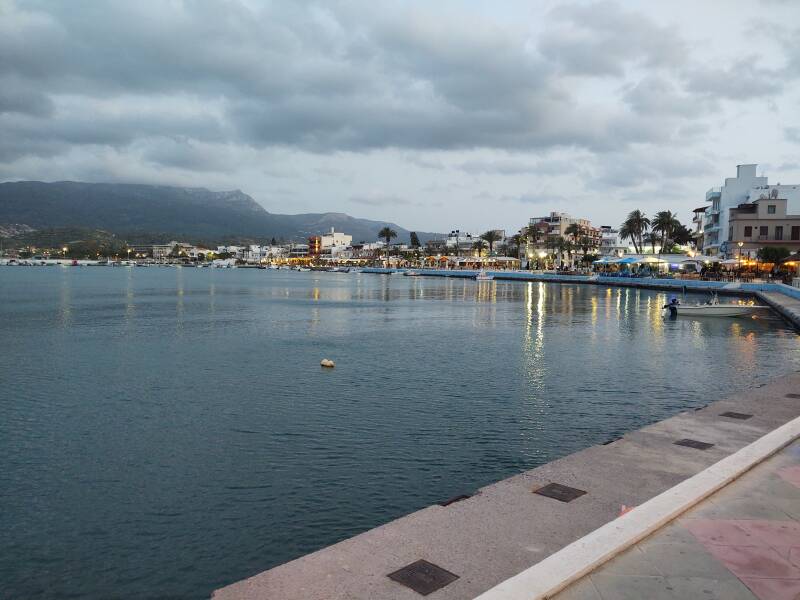
The city-state of Venice seized control of Crete and most of the smaller Aegean islands in 1204, holding it until the Ottoman Empire took control in 1669. The Venetians built a fortress above the harbor. You can see some of the remaining fortifications along the skyline directly above the closest boat in this picture.
Sitia was destroyed three times during the period of Venetian rule. First by an earthquake in 1508. Then by the Hayreddin Barbarossa, a Turkish pirate, in 1538. The last destruction was by the Venetians in 1651. The Cretan War between the Venetians and the Ottomans lasted from 1645 to 1669. In 1651 the Venetians destroyed Sitia so the Ottomans couldn't have it. The town was abandoned for over two centuries, until the Turkish governor rebuilt it in 1870 to serve as an administrative center for eastern Crete.
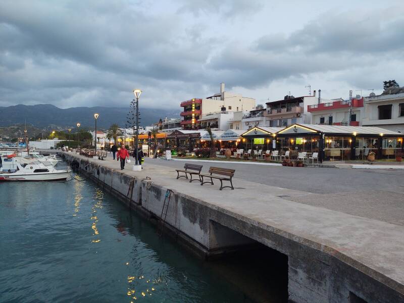
The waterfront is lined with tavernas and cafes.
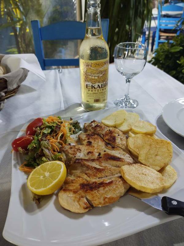
I got dinner in one — grilled chicken, fried potatoes, salad, and retsina.
And then the complementary dessert with a shot of tsikoudia or τσικουδιά, Cretan raki.
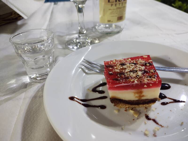
Tsikoudia is made from pomace or marc, the solid remains of grapes left after pressing. They ferment the pomace in a tightly sealed barrel for about six week, and then distill it to produce pomace brandy.
Tsikoudia is flavored with terebinth, a deciduous shrub related to the pistachio. Michael Ventris found mentions of terebinth on Linear B tablets.
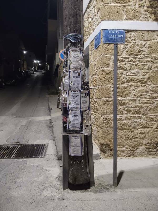
On the way back to the apartment, I noticed that the local funeral notices are posted on utility poles.
Back to climbing, there's another three blocks to go, up to the next-to-last streetlight. With the apartment 60 meters above the water level, that's equivalent to an 18 to 20 story building.
Getting Started in Sitia
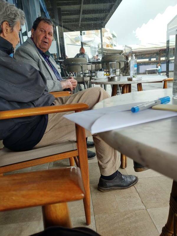
I went to a cafe at the harbor for koulouri and coffee. I had my map and my Blue Guide so I could make plans. The locals were also making their plans.
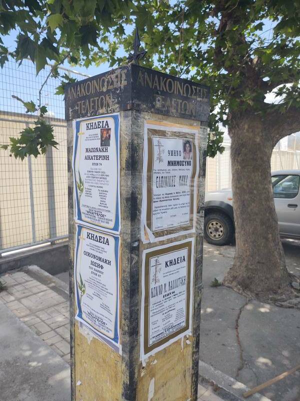
More funeral notices! These were on a post by the parking lot near the harbor.
I would visit some sites within 10 kilometers of Sitia. First to Kato Episkopi and then to a Minoan villa, not a "cottage" as Google Maps calls it, near the village Zou.
Kato Episkopi
On my way from Ierapetra to Sitia I had visited Apano Episkopi or Απάνω Επισκοπή, a mountain village that was the seat of the Roman Catholic bishop during the time that Crete was ruled by the city-state of Venice.
Now I was going to Kato Episkopi or Κάτο Επισκοπή, the seat of the Diocese during the Byzantine period and continuing on into the time of Venetian rule. Greek Orthodox of course, as this had been the Byzantine Empire.
Apano Episkopi = Upper Diocese
Kato Episkopi = Lower Diocese
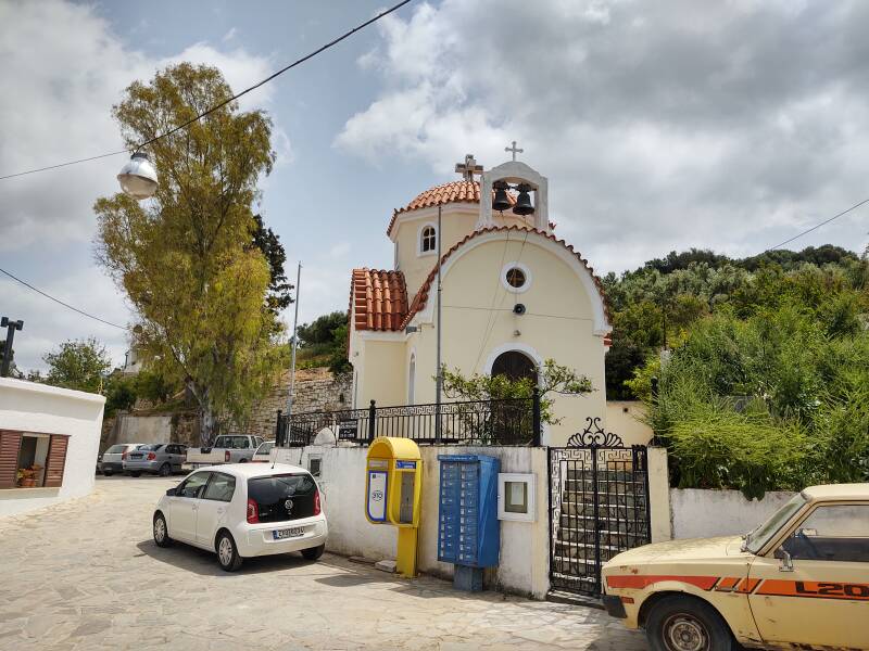
This village is about 400 meters on a side. The church of Agios Georgios is at the center.
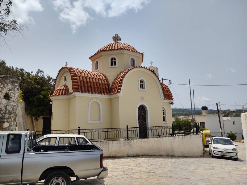
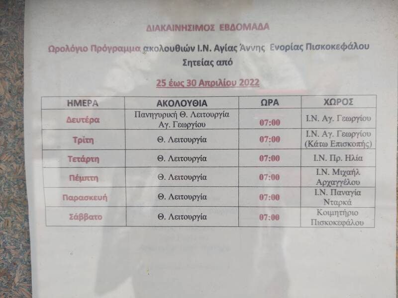
This is now the diocese of Piskokefalo. A schedule lists the parish services at 7 AM on every day other than Sunday. Monday and Tuesday are here at Agios Georgios, I believe that the Monday service is dedicated to Georgios. Then Wednesday at Profiti Ilia (the Prophet Elias), Thursday at Archangel Mikhail, Friday at Panagia Itarka, and Saturday at the chapel at the Piskokefalo cemetery.
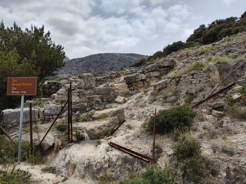
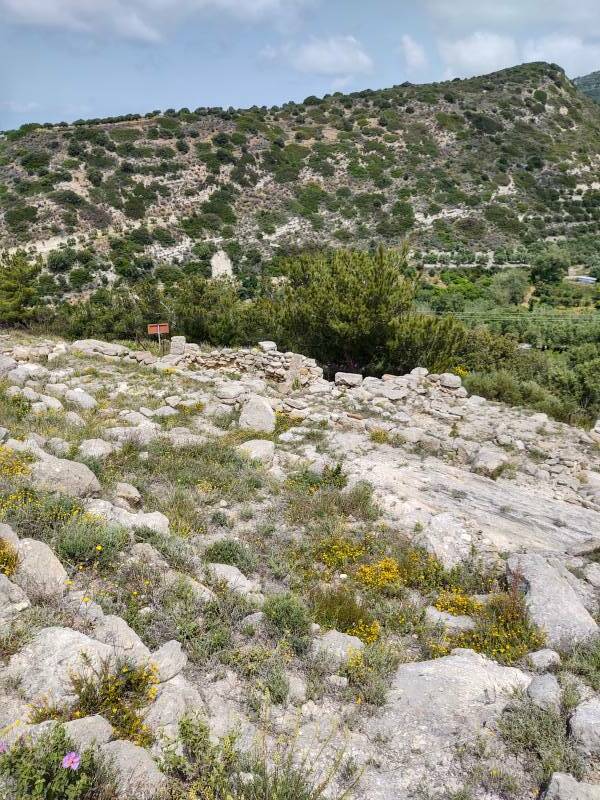
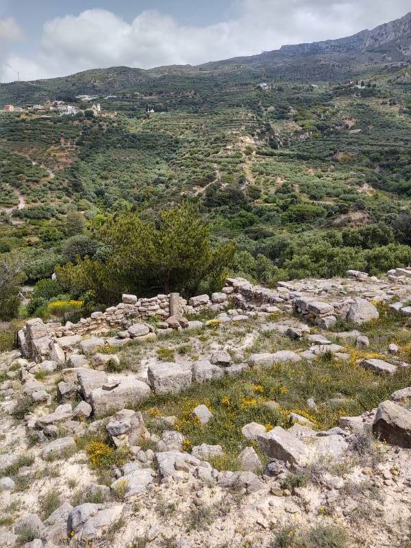
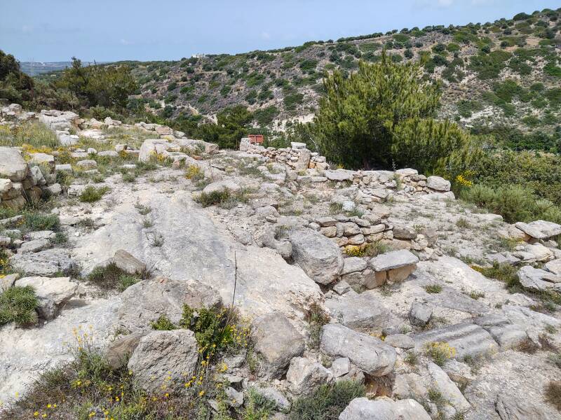
Minoan Villa at Zou
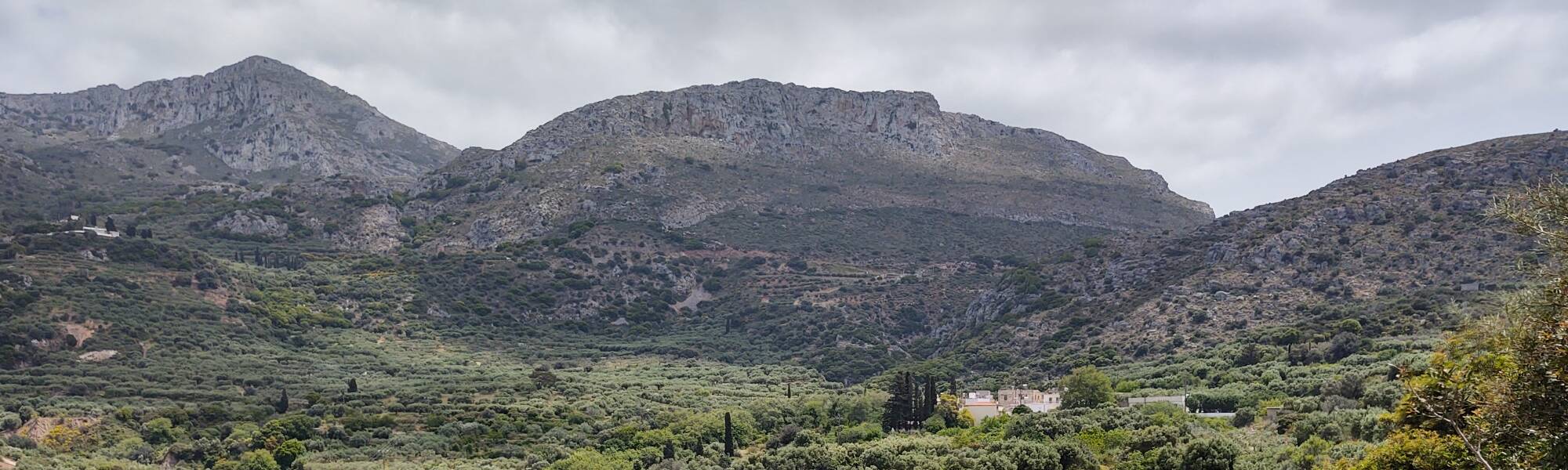
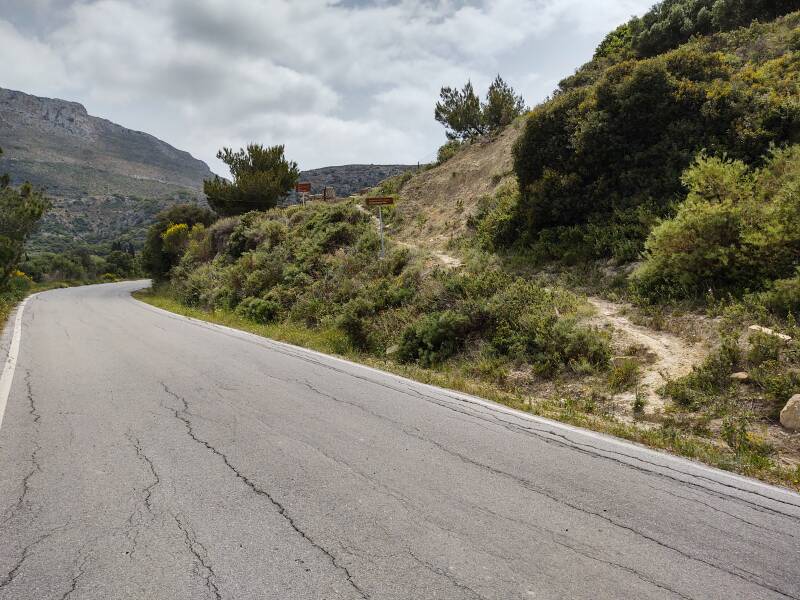
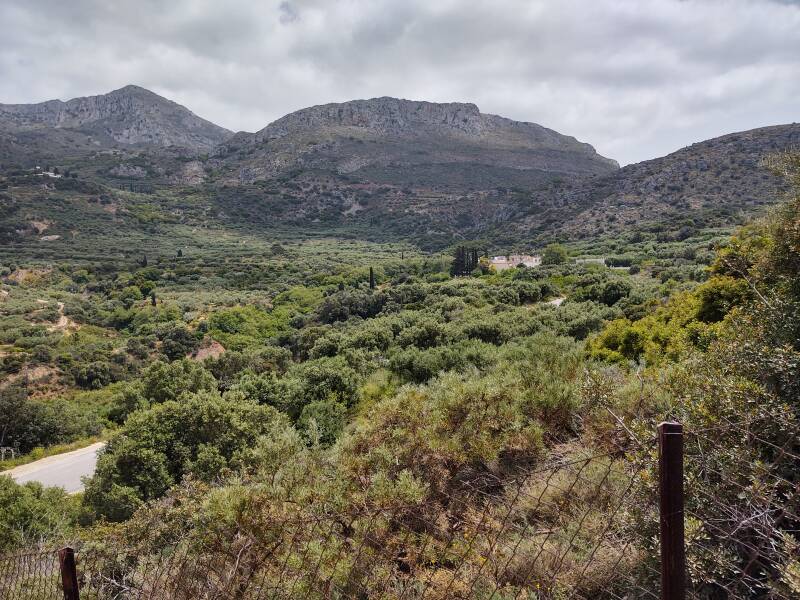
Zou is a small village, but it appears on quality maps. The Minoan villa is above the road on the right, about 350 meters before you reach the first lane leading into Zou. I found a decent place to pull my car off the side of the road about 200 meters before reaching the site.
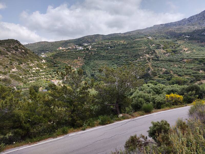
The villa had a fine view over the valley.
Given the age, this Minoan site is well preserved. The walls stand over a meter tall in places.
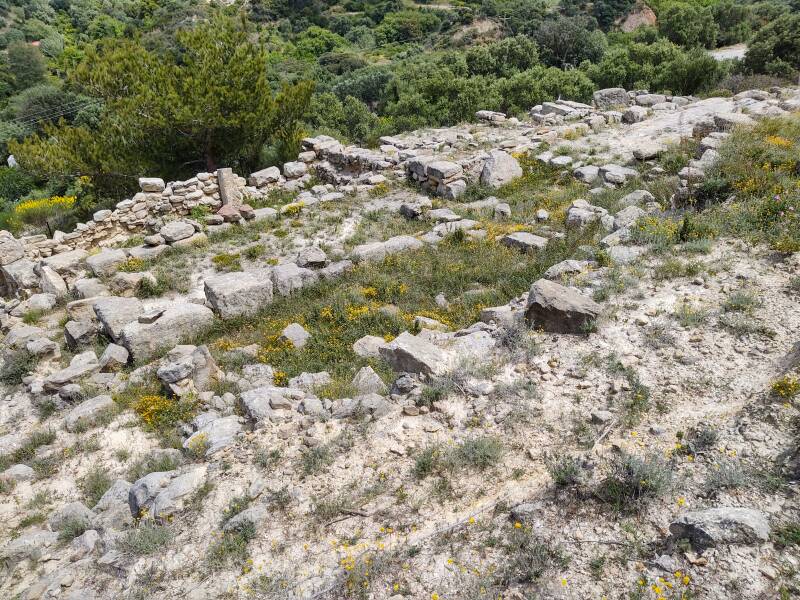
Nearby pits may have stored grain.
The inhabitants used a kiln to fire their own pottery.
Zou is visible from the site, a short distance further up the valley.
Next❯ Traostalos Peak Sanctuary
Or, Continue Through Greece:
Where next?