Itanos
Ancient Greek Port and an Early Basilica
Itanos or
Ίτανος
has been inhabited since Neolithic times.
The region became a center of trade in Minoan times.
Itanos became a port in the 8th to 7th century BCE,
and soon became a major commercial hub.
Itanos operated independently of other Cretan bases of power,
becoming a protectorate of Ptolemaic Egypt
during early Hellenistic times.
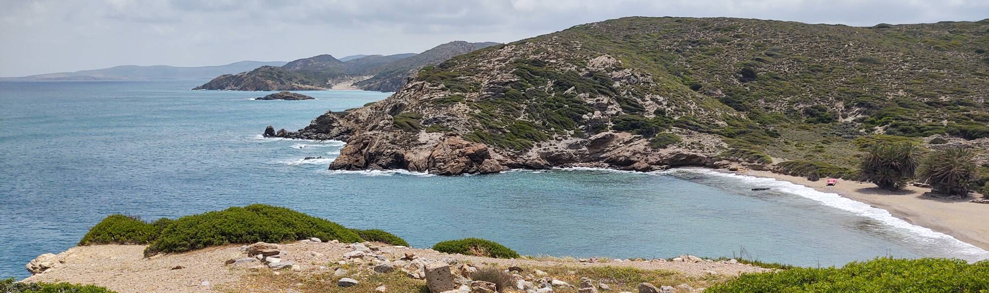
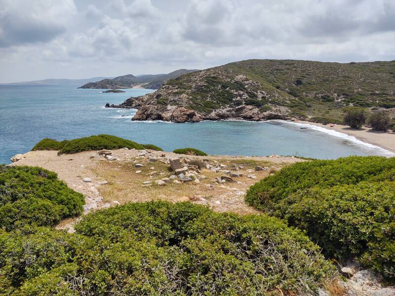
Itanos is on the far east coast,
near the northeastern tip of Crete.
See the circle on the below map,
at the north end of the dark red road
along the coast next to
"ÓRMOS (bay) GRÁNDES".
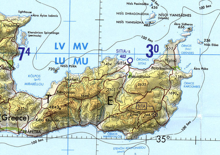
Tactical Pilotage Chart G-3C from the Perry-Castañeda Library Map Collection at the University of Texas at Austin.
If you were to continue to the north to the Cape Sidero lighthouse at the northeastern point, you would cross what are almost two islands joined to each other and to the Crete mainland by narrow passages, almost causeways, each only a hundred meters wide.
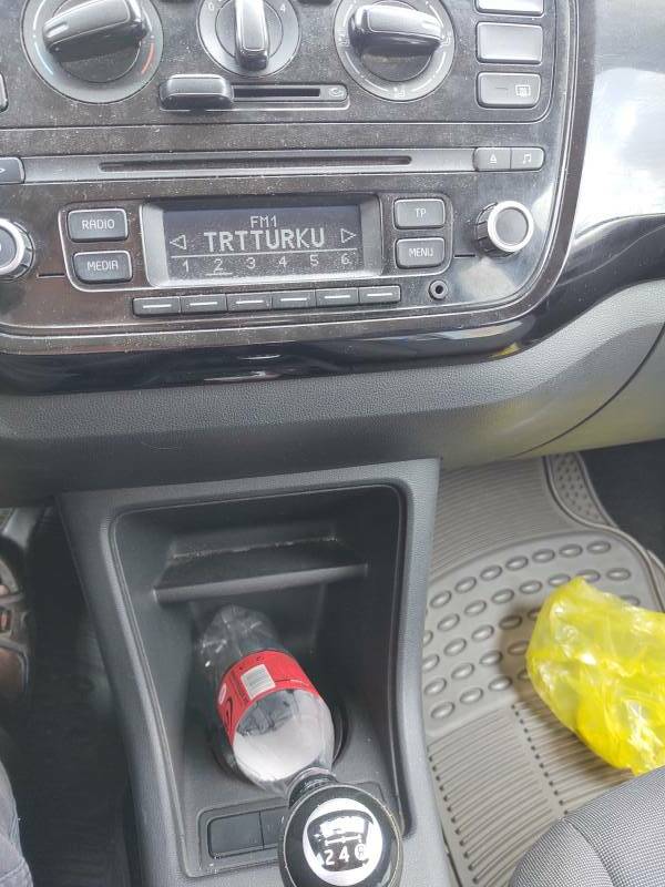
There's a Greek naval base on the last near-island, Advanced Naval Base Kyriamadi, a resupply facility. The Greeks are always twitchy about military bases, and especially so in an area close enough for the car radio to pick up TRT Türkü. 30 kW at 92.6 MHz from Datça, just a little over two hundred kilometers away on an all over-water path. See Itanos, test the VHF propagation, don't get into trouble.
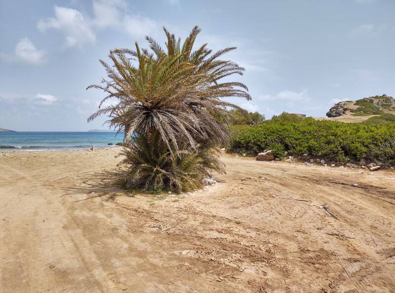
This area is only about 560 kilometers from Alexandria, Egypt. There are palm trees along Crete's eastern coast. There's a famous cluster of date palms just a few kilometers south of Itanos at Vai.
The sea level has risen over the centuries. Remains of the ancient port are a few meters below today's sea level.
"Itanos" is not a Greek name, it may be the survival of the Minoan name for the place.
Itanos was founded as a Doric-Greek-speaking city in the 7th or 8th century BCE. Phoenician traders may have been involved in its establishment. The Greek Dark Age was transitioning into the Archaic period. Doric was a group of Ancient Greek dialects spoken across northern Greece, and Peloponnese, and the southern Aegean, plus colonies founded from those areas.
Greek legends told of a Bronze Age event that historians in the 19th century CE called the "Dorian invasion". This was believed to be a large migration of Dorian-speaking people from somewhere beyond northwestern Greece into the eventual Doric-speaking areas. This would have involved the Proto-Indo-European-speaking people having broken up around 2500 BCE with their languages diverging over the following centuries. By this theory, the Dorians would have arrived around 1200 BCE already speaking their proto-Greek.
Ancient Yersinia pestis and Salmonella enterica genomes from Bronze Age CreteHowever, there has never been any evidence for such a migration, or for such a language development sequence. In 1952 Michael Ventris showed that the Linear B tablets recorded an early form of Greek, called Mycenaean. Recent archaeological work has shown that all the major civilizations around the eastern Mediterranean, except for Egypt, collapsed between 1200 and 1150 BCE. All that argues heavily against a "Dorian invasion".
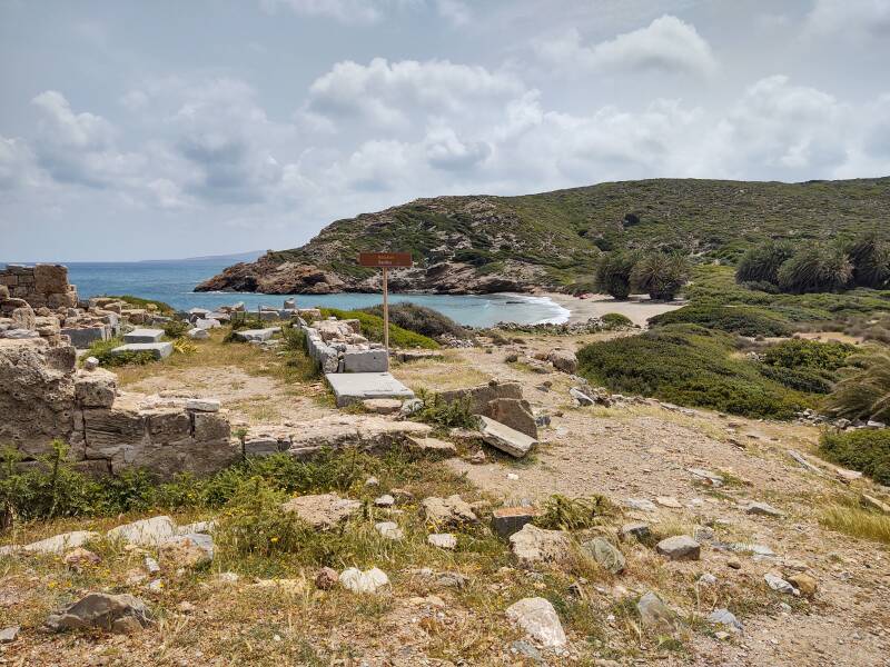
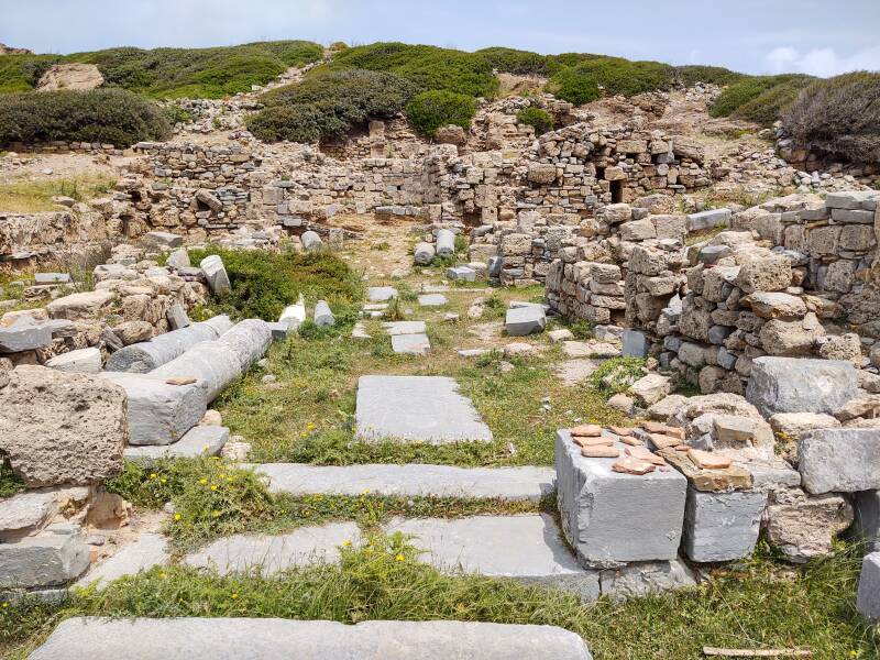
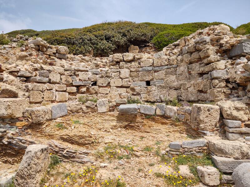
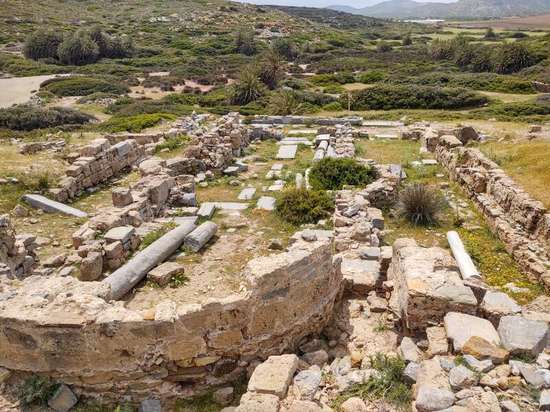
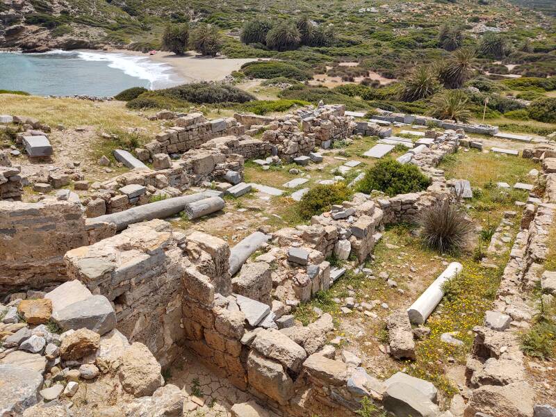
There's a ruined basilica on the inland side of the large outcropping.
Basilica is a Roman architectural term for a large public building, typically rectangular, with a central nave possibly flanked by two or more aisles under lower roofs. The apse, from άψίς, is a semicircular recess at one end. It often has a quarter-spherical vault or dome. In a town's basilica, government officials would preside over formalities from a raised area at the apse.
The Roman Empire decriminalized Christianity with the Edict of Milan in 313 CE. Christian groups could now move their services out of caves, homes, and spare rooms, building and using large structures built in the basilica form. For many centuries now "basilica" has come to mean a church built in that design.
Larger Christian basilicas frequently had a transept, perpendicular to the nave to give the building the shape of a cross.
Here is the view in from the narthex or νάρθηξ, the entrance or lobby area at the west end.
We're looking up the length of the nave to the raised altar area and the apse.
Here is what at first seemed to be the right aisle. However, see the semicircular end of the transept protruding into this area, about half-way up the left wall. No, the walls to the right must have been buildings parallel to the basilica with this passageway between them.
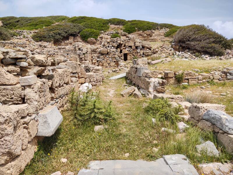
There is a similar "pseudo-aisle" to the left of the basilica.
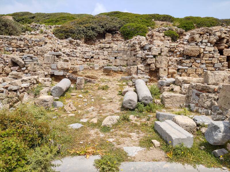
Or, I'm very likely wrong and the basilica really had two aisles, possibly added after the initial nave-and-transept core was built.
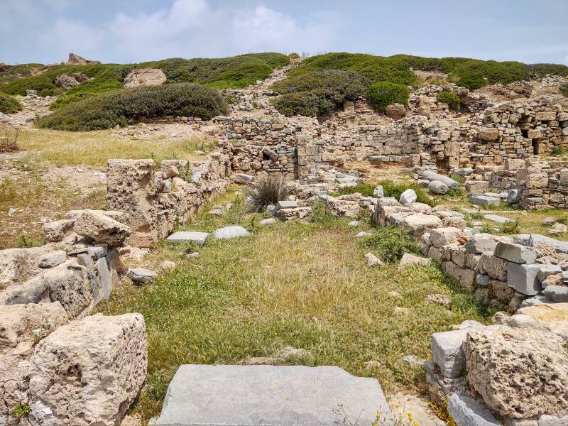
Back in the nave, near the crossing of the nave and the transept.
This is the south apse, the south end of the transept.
Here is the apse and altar area.
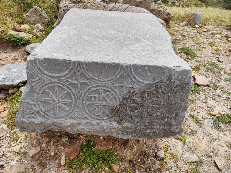
The basilica was decorated with elaborate stone carving.
This is one of at least two basilicas built in Byzantine era Itanos.
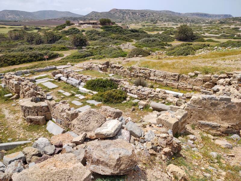
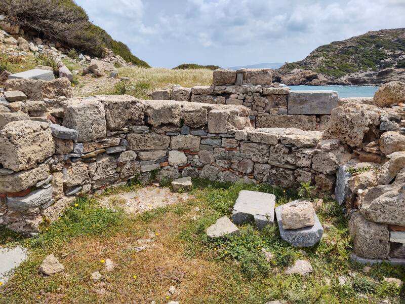
The site was occupied until it was destroyed during the medieval Byzantine period, probably by Saracen pirates. It was abandoned in the 7th or 8th century CE.
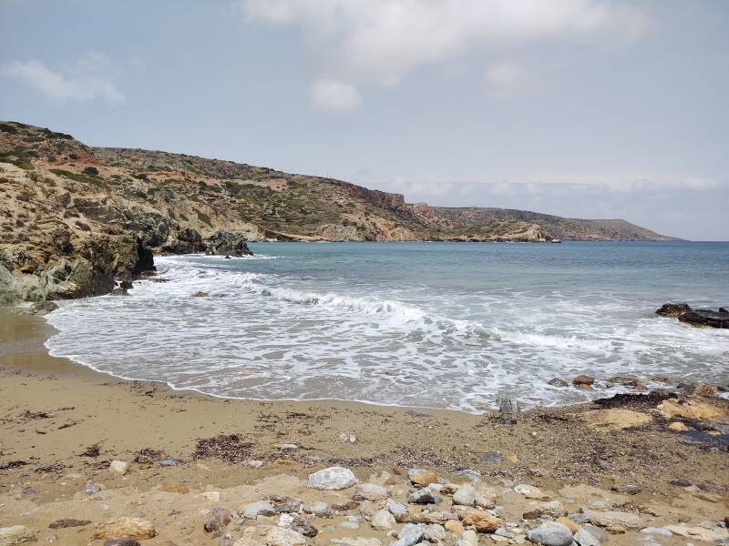
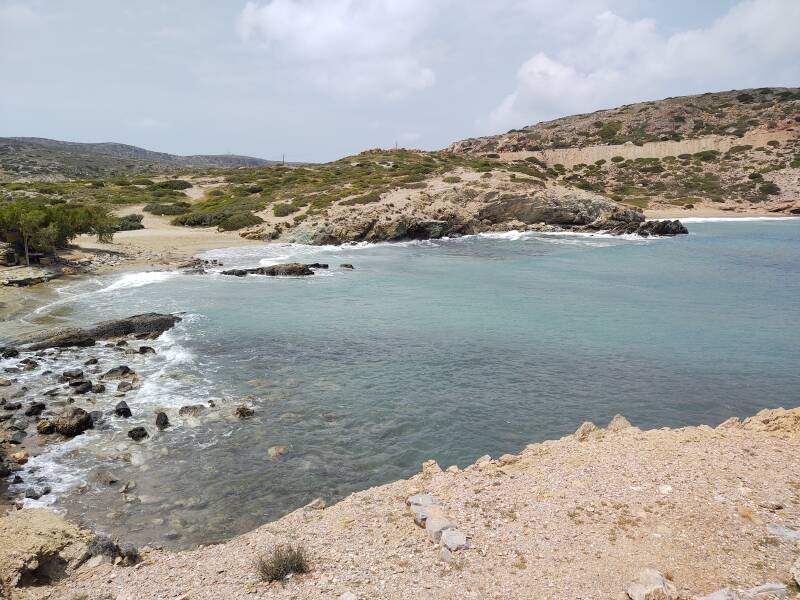
Palm trees stand around the nearby beach to the south of the basilica.
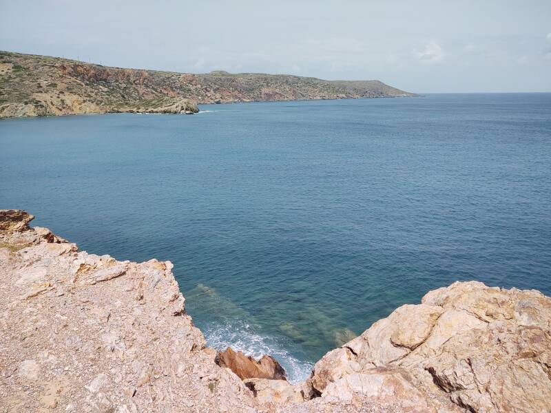
Herodotus reported that an Itanos fisherman led a group from Thera to establish a colony on the coast of Libya. That's about 380 kilometers away to the south, the direction the below picture is looking.
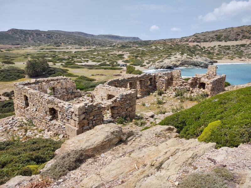
Water handling equipment from recent times still stand nearby. The windmill pumped water up from a well and sent it into the stone channel.
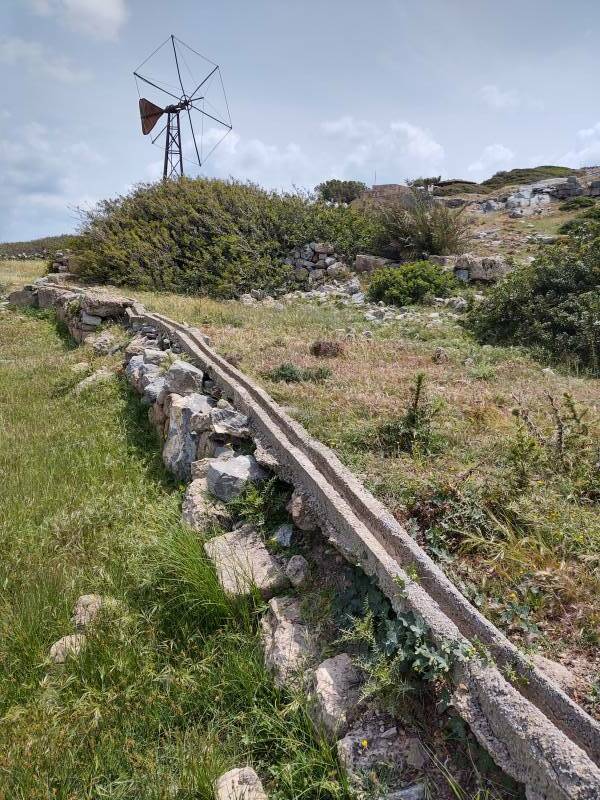
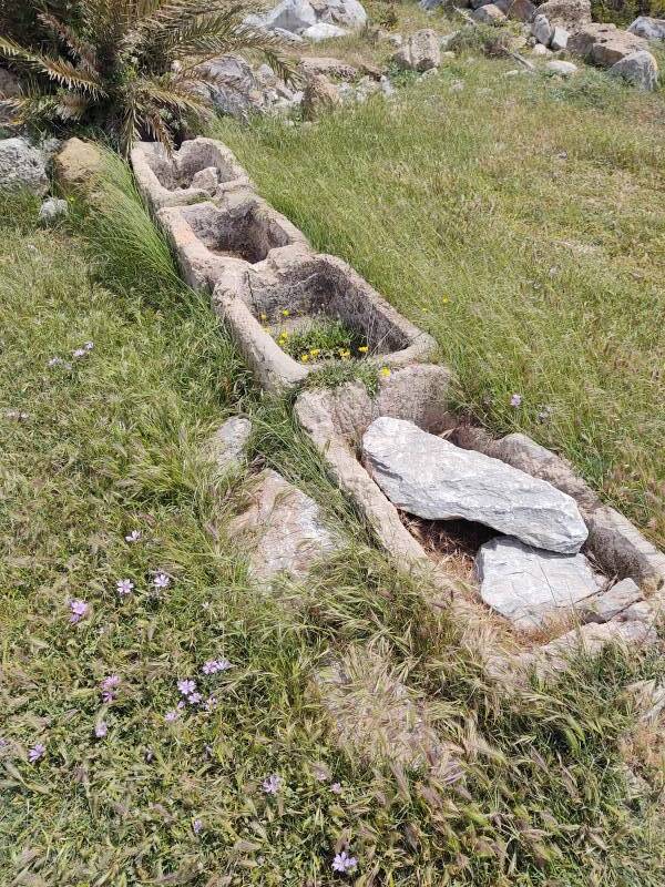
That fed a series of troughs providing water for livestock.
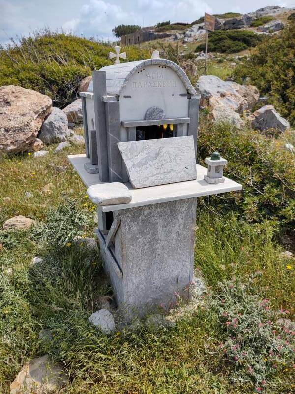
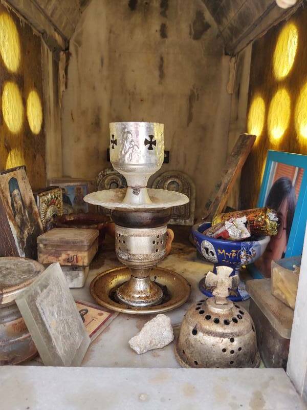
A roadside shrine stands at the edge of the parking lot.
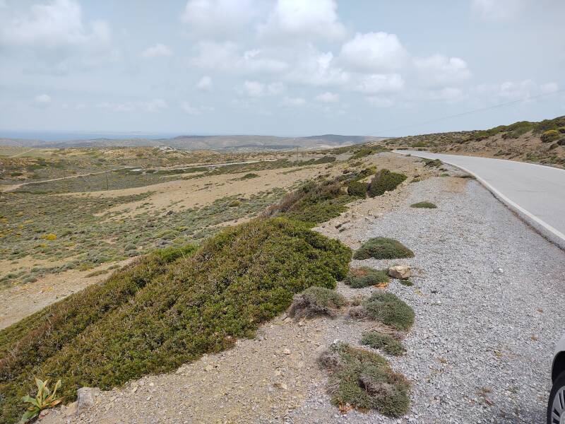
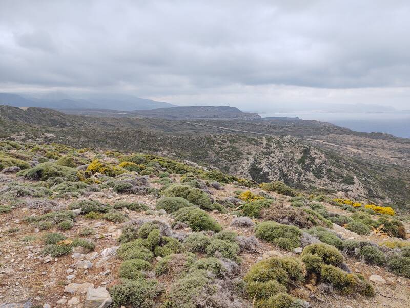
Here I was on my way back, stopping near the highest point overlooking the Sitia bay and looking back over the eastern coast into the southern Aegean sea.
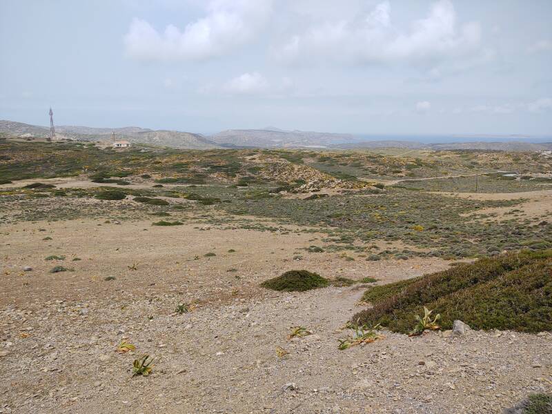
A little north of that last view, I was looking toward Itanos past a VHF/UHF/microwave relay station.
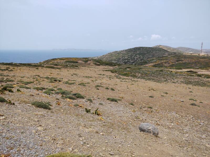
Karpathos is about 90 kilometers away to the east-northeast. Anafi and Thera are 130 and 145 kilometers away, respectively, to the north-northwest.
Further around to the left and toward the northeast, you can see the northeasternmost tip of Crete.
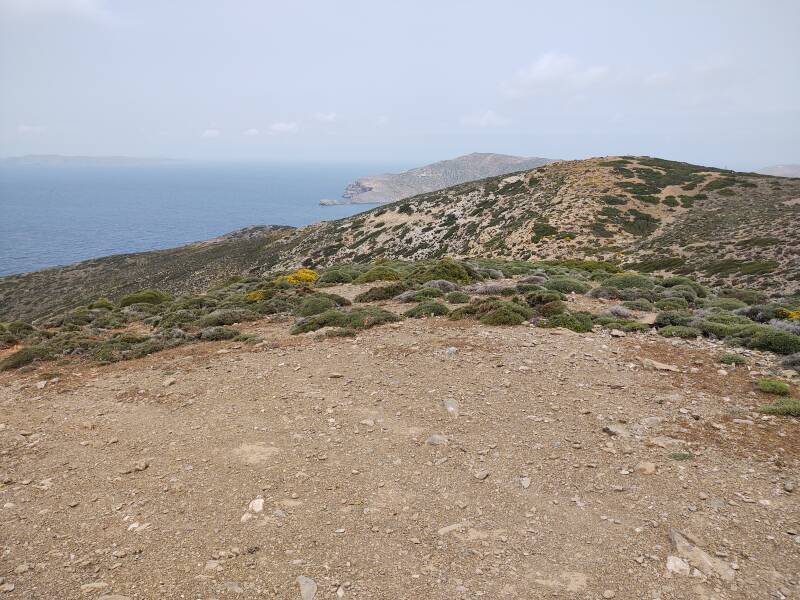
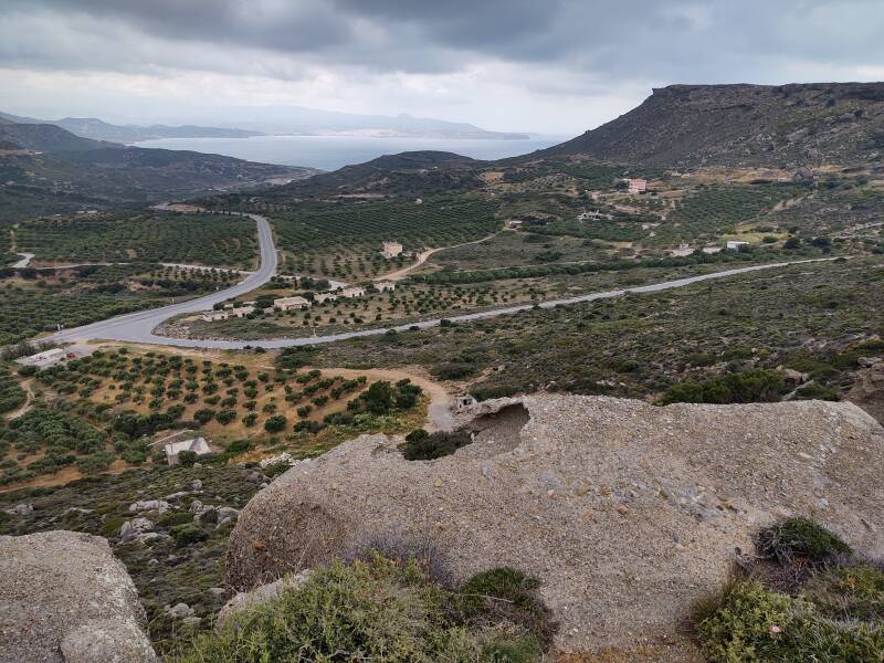
Continuing further west, Sitia came into view in the distance.
From here I followed the road to my right, around and down to join the highway toward Sitia, visible in the distance.
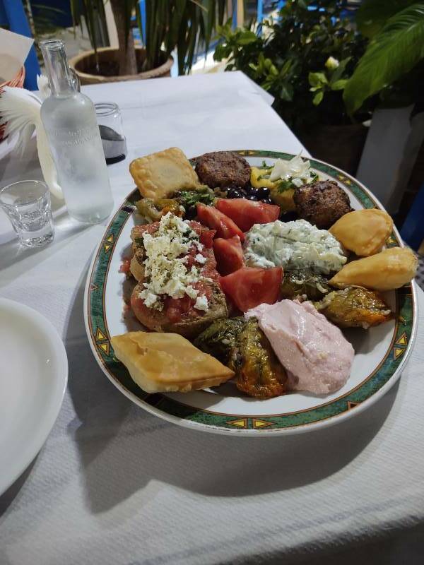
That evening I went down to the waterfront for mezedes or μεζέδες. A local version of the word is found in all the cuisines of the former Ottoman Empire. It originated in the Turkish word meze meaning a snack or appetizer. That, in turn, came from the Persian word مَزّه, mazzeh or mazzah.
It was accompanied by an ampoule of tsikoudia, Cretan raki.
Next❯ Minoan cemetery at Agia Fotia
Or, Continue Through Greece:
Where next?
The Roman Catholic church later began to use the word "basilica" to designate a church, not necessarily built to the basilica design, as ranking higher than others for ceremonial purposes.