Eastern Crete
Exploring Eastern Crete
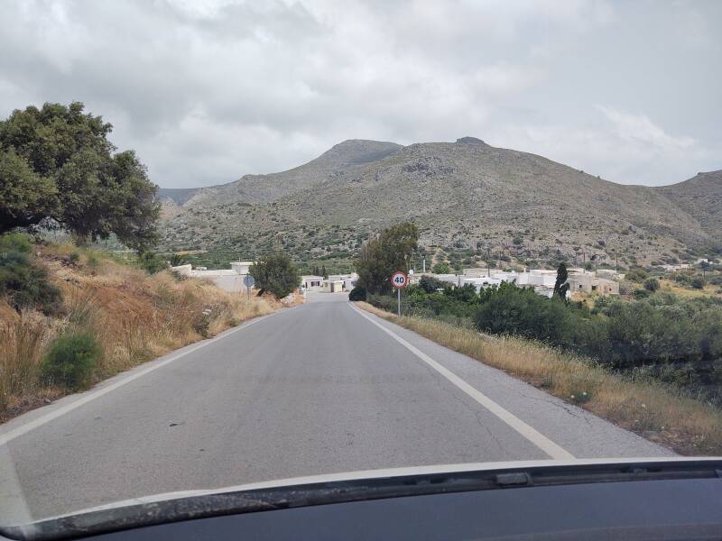
I set out for the Traostalos peak sanctuary
one day.
It's marked "1690" on the below map,
indicating its elevation in feet.
Things didn't go exactly as planned,
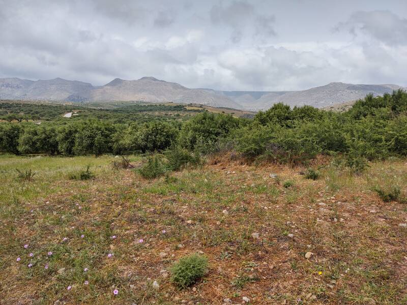
but there were nice surprises along the way.
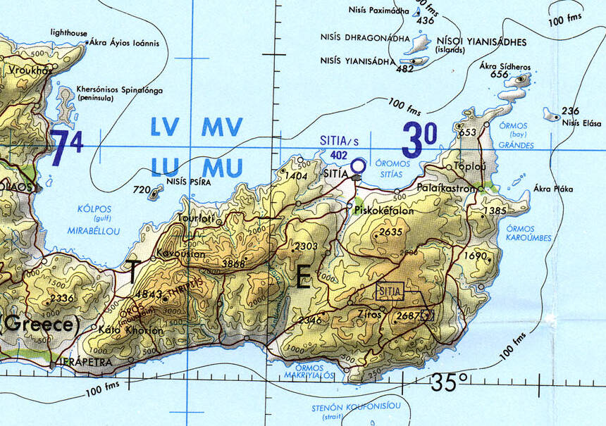
Tactical Pilotage Chart G-3C from the Perry-Castañeda Library Map Collection at the University of Texas at Austin. The peak labeled 1690 for its elevation in feet is the peak with the sanctuary.
Electrical Power
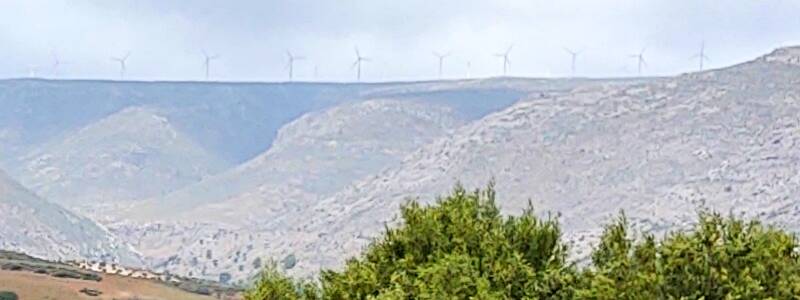
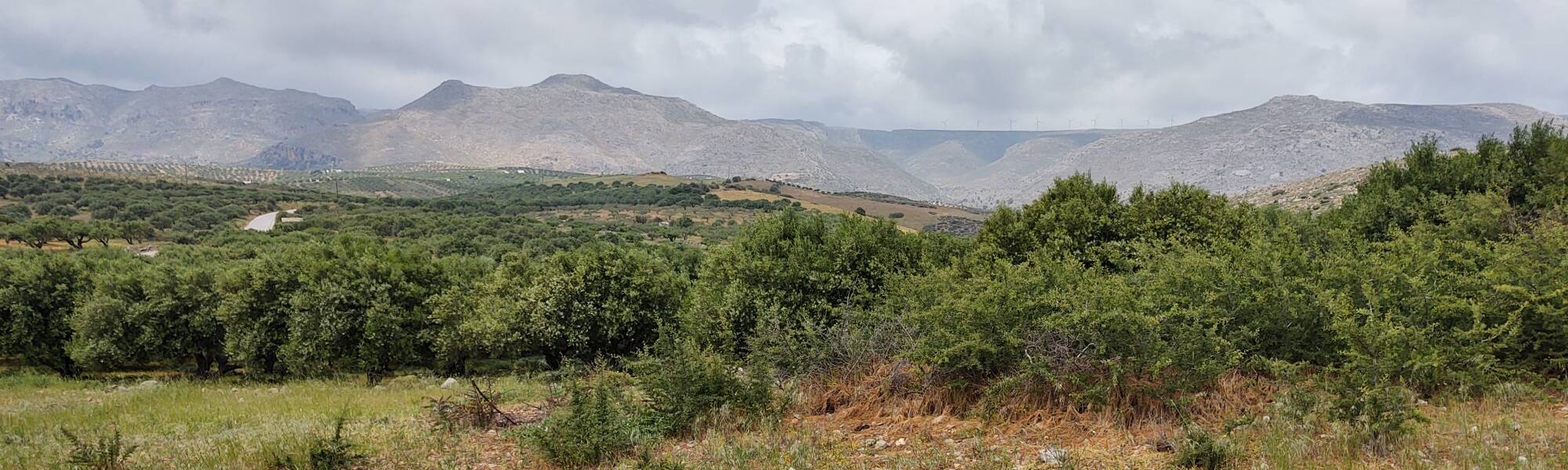
Above is a crop from the below image, showing a wind farm along a ridge. Crete has many wind farms.
Wind generation is impractical in many locations, as you would have to store a great deal of energy to cover the times without wind. Greece seems to have largely solved that problem by being in a location with constant strong winds almost all the time. The meltemia or μελτέμμια are the strong dry winds that blow out of the north and across the Aegean.
Greece was getting 20% of its electrical power from wind by 2020, ranking the country around #22 world-wide. By 2019, Greece was producing 29% of its electrical power from renewable sources — wind, hydroelectric, solar, and geothermal — exceeding the EU's 2020 goal for 20% of electricity from renewable sources. In 2021 Greece had 4,451 MW of wind generation capacity. Solar power supplied around 2,500 MW.
Greece has a few volcanic islands, primarily Thera (or Santorini), Milos, and Nisyros. Milos is thought to have enough geothermal energy potential to supply 120 MW of electricity. A 2 MW pilot plant was commissioned in 1986, and it supplied the island's entire electrical requirements including the water desalination plant for the next two years. However, lack of experience with the technology led to strong hydrogen sulphide odor around the plant, and public outcry ended the project.
VHF DX
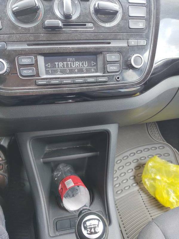
I pushed the scan button on the car radio to move to the next station. This was more than the usual rebetiko, this sounded Turkish.
It was. The radio was displaying TRTTURKU for the signal at 92.6 MHz. It had locked on to TRT Türkü, Turkey's national folkloric music radio channel. According to this fmscan.org page, this was a 30 kW transmission from Datça, on the long narrow peninsula extending west from Marmaris toward the Greek islands of Kos and Nisiros. That's a little over 200 kilometers away, excellent over-water VHF propagation!
It wasn't a one-time fluke. Over the next two days, I noticed that the scan mode would stop on it as long as I was outside Sitia to the east. The town of Datça is on the southern coast of its peninsula, there are peaks over 600 meters nearby.
Traostalos and Peak Sanctuaries
Google Scholar on Minoan peak sanctuariesThe Minoans established many peak sanctuaries, mostly in east-central and eastern Crete. Human and animal clay figurines have been found at all of them. Votive human body parts have also been found at most of them, including the one at Traostalos.
There has been significant scholarly interest in the peak sanctuaries. Blue Guide Crete provides a little information on them. But for the most part, no one expects much interest from tourists.
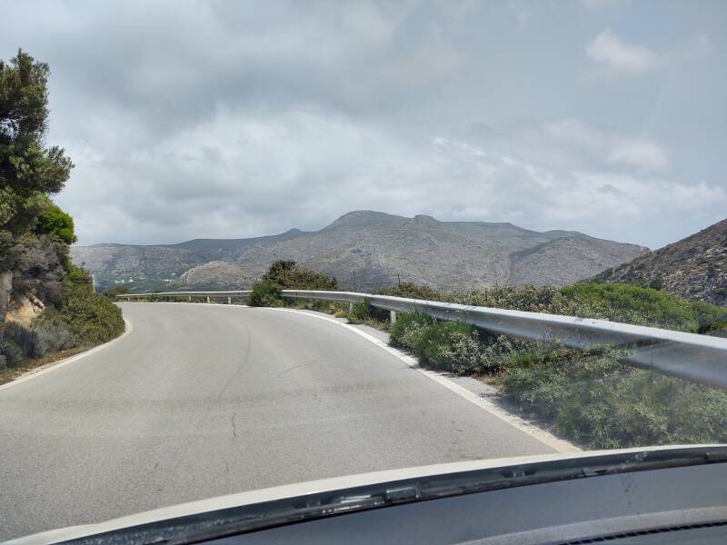
The road up to the Traostalos peak sanctuary is blocked off less than a hundred meters off the road. The road near the bottom looked to be in pretty bad shape. It would be 4.7 kilometers to the peak, with an ascent of 280 meters from the main road to the 506-meter peak.
The site was first excavated in 1963–1964, then again in 1978, and again in 1995. They found stone altars and the standard clay human and animal figurines. One of the human figurines depicted a woman with a swollen leg.
The paper "Minoan Peak Sanctuaries of East Crete: A Walking Perspective" reports that votive objects of legs and feet "have been found at the majority of the East Cretan peak sanctuaries and they often have a suspension hole" so they could be worn as amulets. Unfortunately, it goes on to report "Since the majority of East Cretan peak sanctuaries remain unpublished yet, it is not easy to present the exact numbers of them." That's all too common in archaeology.
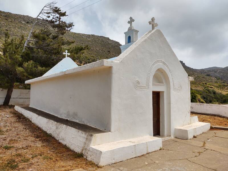
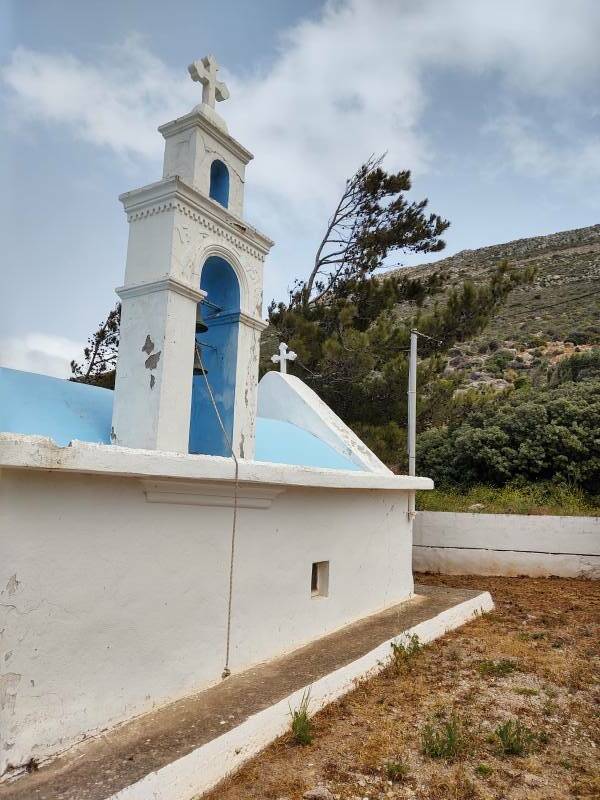
Peak sanctuaries are still built, now they're Orthodox chapels dedicated to the Prophet Elijah, who is associated with mountain peaks.
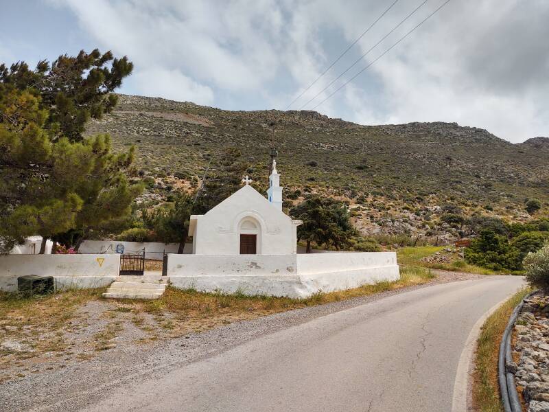
The church at the base is dedicated to Άγίος Ιωάννος Θεολόγος, Agios Ioannos Theologos, Saint John the Theologian. This refers to John the disciple, the author of the Gospel of John, the author of the "Johannine letters" of the New Testament, and the author of the Αποκάλυψη του Ιωάννη or the Revelation of John. Which weren't all the same guy. See my visit to Patmos for an explanation of the multiple Johns.
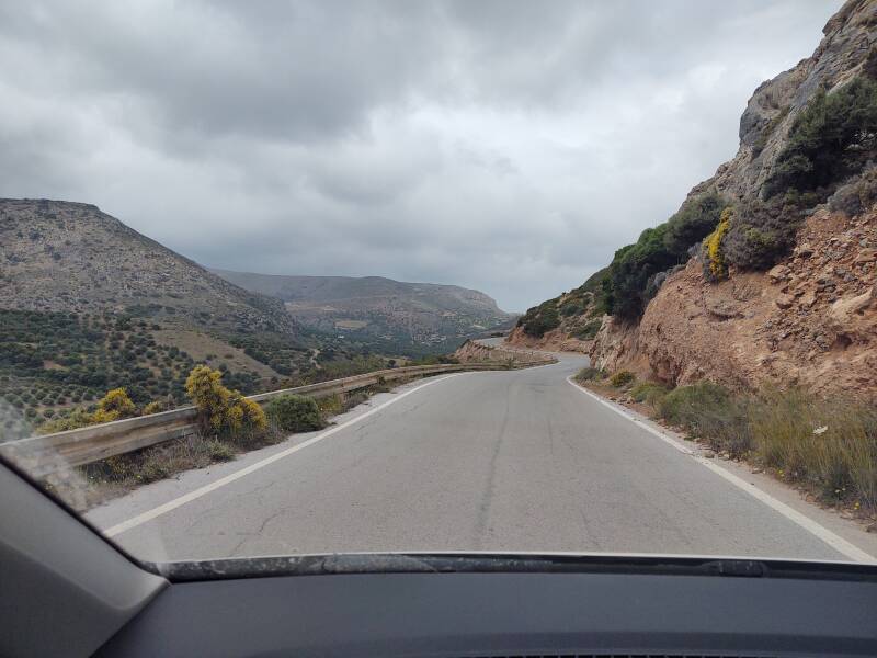
Returning to Sitia
I returned to Sitia with TRT Türkü blasting on the car stereo.
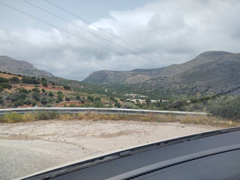
I passed through the village of Lagkada or Λαγκαδά.
Back in Sitia
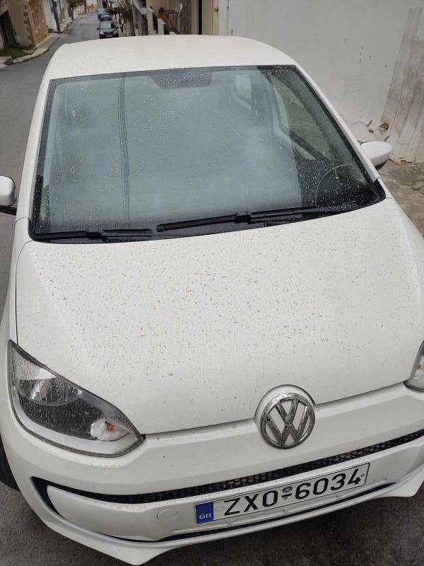
Rain moved in as I returned to Sitia. I went into the apartment for a while, then came back out to walk down the hill to harbor to get dinner. Along the way I noticed that my car was splattered with mud. It had been muddy rain!
I took the picture in case the rental car company suspected that I had been off-road following construction vehicles or something. But in Crete this was normal, no big deal. "It's dust from Libya. It's always blowing in with rain clouds."
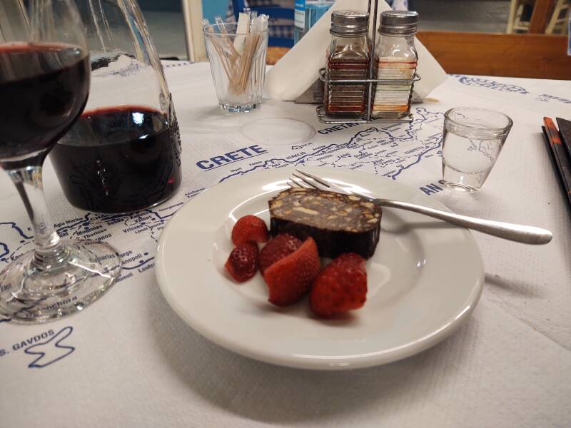
I had grilled shrimp with rice and salad that evening with ένα μισό λίτρο κόκκινο κρασί. A half-liter of red wine out of the barrel.
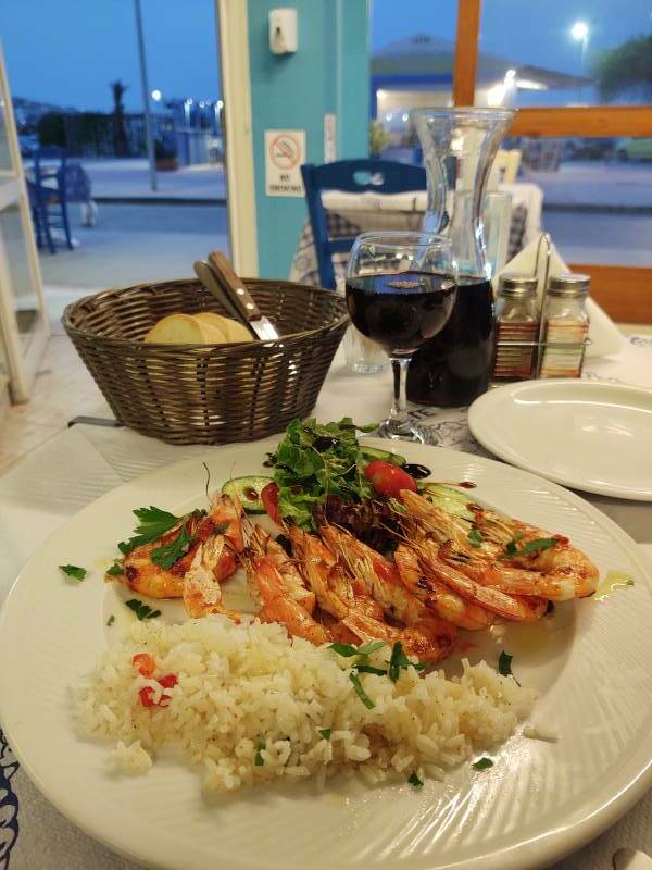
Afterward they brought a chocolate dessert with raspberries and strawberries, and a shot of Cretan raki, tsikoudia or τσικουδιά.
Next❯ Palaikastro and Rousolako
Or, Continue Through Greece:
Where next?