Milos / Μήλος
By Ferry from Folegandros to Milos
Με
Πλοίο
από
τη
Φολέγανδρο
στη
Μήλο
I was traveling through the Cycladic islands in the
central Aegean sea by ferry.
I had been on
Ios
and
Folegandros,
and I was leaving Folegandros for Milos.
I was there during "shoulder season", the ideal time
to visit the islands, so there was a ferry from
Folegandros to Milos on most days.
A small one left Folegandros at 1600 daily for Milos.
A larger one ran on Sundays, Tuesdays, and Thursdays,
making a circuit from Thira or Santorini all the way through
the western Aegean to Piraeus, the port of Athens,
then the reverse on Monday, Wednesday, and Saturday.
Along the way traveling north it called at
Ios at 0900,
Sikinos at 0940,
Folegandros at 1030,
Kimolos at 1200,
and Milos at 1305.
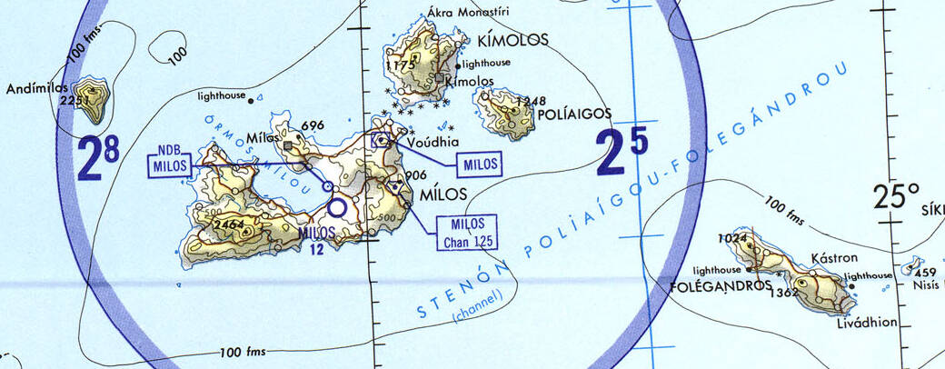
Portion of Tactical Pilotage Chart G-3A from the Perry-Castañeda Library Map Collection at the University of Texas at Austin.
The port on Folegandros is formally named Καραβοστάσης or Karavostasis, but everyone simply calls it "The Port". It's at the southeast end of the island, not shown on the above chart but near the marked Livádhion. Kástron marks the main town, better known now as Hora. 316 of the 765 people on the island live there.
Milos mostly surrounds a collapsed volcanic caldera which forms a central bay. Its port of Αδάμαντας or Αδάμας or Adamantas or Adamas is on the north shore of the center of that bay.
Leaving Folegandros
A bus would leave Hora for the port at 0830, and the next would leave at 1030. But my ferry was scheduled to arrive at 1030. Schedules can shift a little one way or another, as a port call takes more or less time than expected due to how many vehicles had to be unloaded or loaded. So, you should be there a half an hour ahead of time.
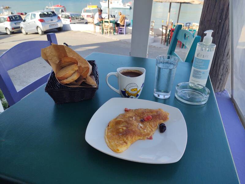
I needed to start early. Take the 0830 bus down to the port, get breakfast followed by more coffee at one of the tavernas there, and have plenty of time to catch my ferry.
So, I had breakfast at the port. An omelette with tomato, pepper, and onion, with an olive and toast.
The Marine Radar ship-tracking smart phone app can be helpful. The ferries have AIS or Automatic Identification System transceivers broadcasting their positions. It can be used for collision avoidance, fishing fleet monitoring, maritime security, search and rescue, and for scheduling your breakfast and additional coffee. However, a ferry isn't always in range of a receiver.1 Carefully check how recent the data is if you plan to use the tracking data to anticipate ferry arrival times.
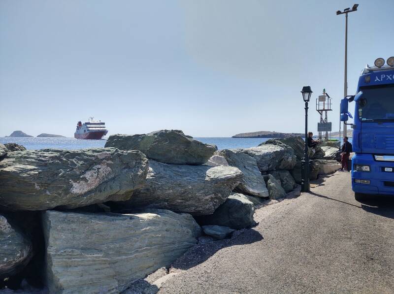
I saw that my ferry would arrive on schedule, so I made sure to pay for breakfast with plenty of time to stroll to the nearby pier well before the ferry was pulling into the bay.
It was the F/B Διονύσιος Σολωμός or Dionisios Solomos, named for the man considered the national poet of Greece. This was the same ferry that I had taken from Ios to Folegandros a few days before.
deck = floor
bulkhead = wall
hatch = door
overhead = ceiling
ladder = staircase
Once the ramp touches the pier, the crew work quickly to unload any vehicles coming ashore, then load any vehicles leaving the port, and get back underway quickly.
Buy your ticket in advance! It was just €8.00 for the ride from Folegandros to Milos. I bought mine the day before at the travel office in Hora. You show your ticket to a crew member just inside the ramp, then proceed up the ladder from the vehicle deck.
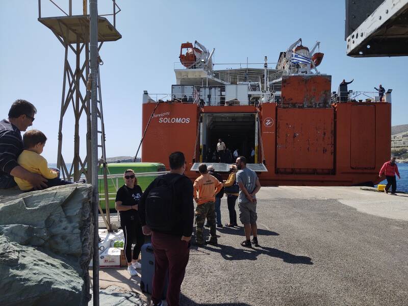
By the time I climbed up through two vehicle decks to an all-passenger deck, a large truck had already been loaded off the pier and into the ferry.
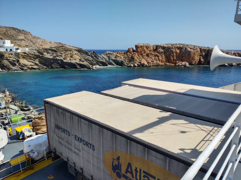
A ramp leads up from the lower vehicle deck to the upper one, where these trailers are parked.
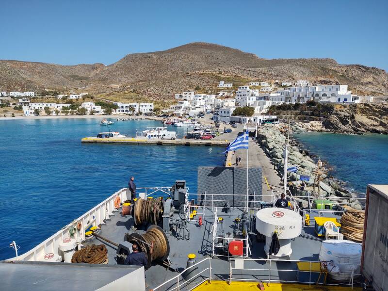
By the time I moved through the large interior lounge to the forward passenger deck, we were moving.
Along Folegandros
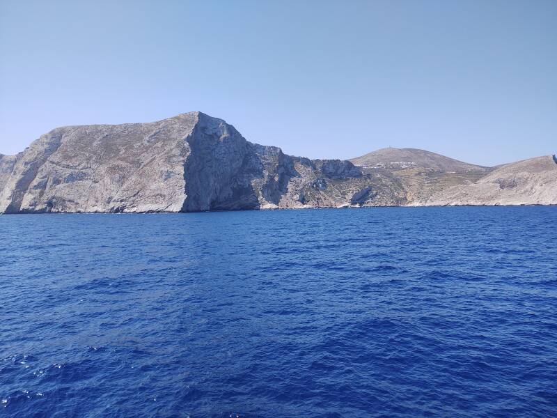
We turned to port then sailed to the northwest along the northern shore of Folegandros.
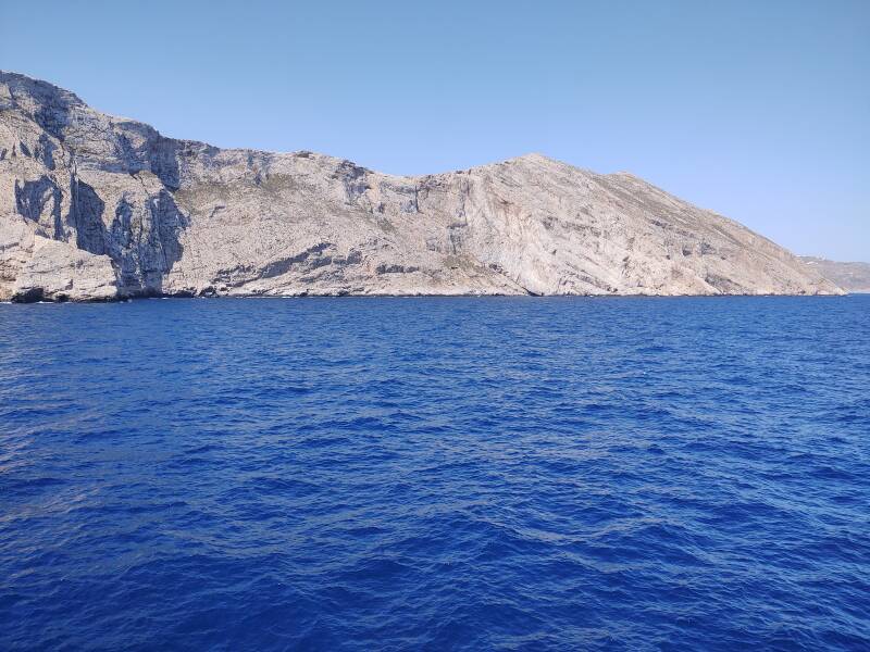
Moving at 32–34 kph, the forward deck is quite breezy.
It can be hard to tell the scale of what we're looking at here. The peak, just right of center below, is at 353 meters above the water. The shadowed vertical cleft to its left is huge.
There's a large cave, Chrysospilia, close to the waterline. You can only get there in a boat, and in calm weather. It seems to have been used as some sort of cult temple during Hellenistic and Roman times. Further into the cave there are inscriptions from the 4th century BCE, many of an erotic nature.
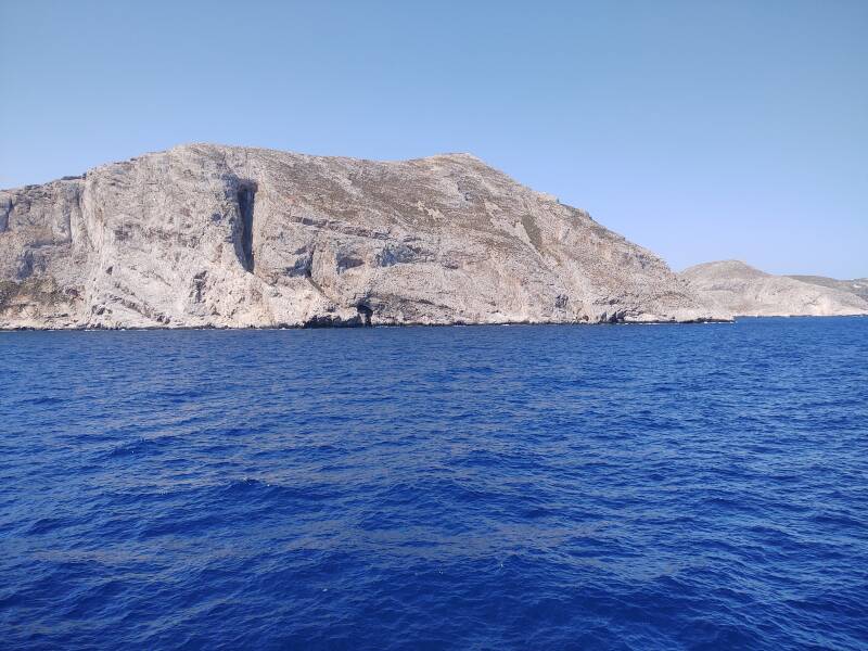
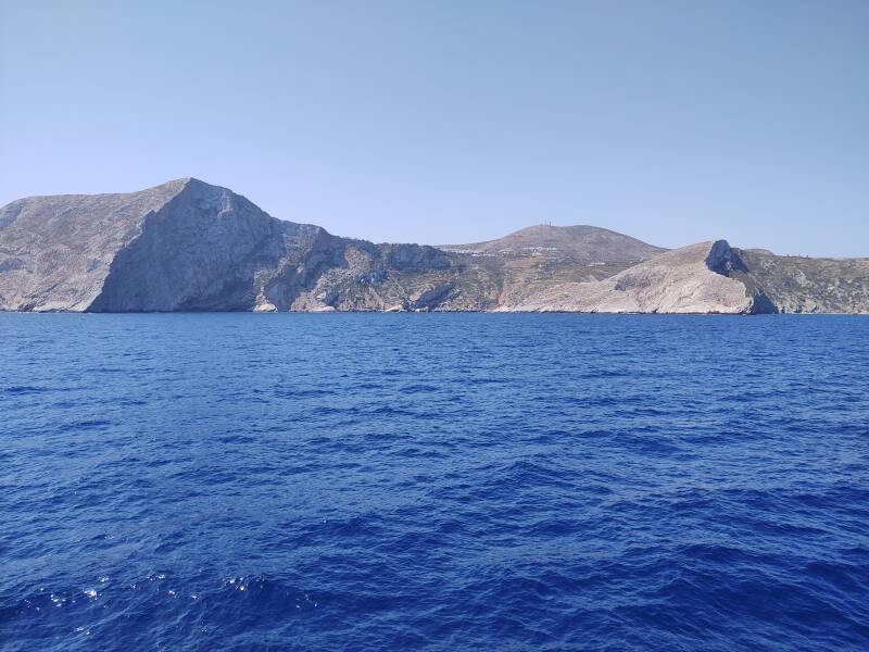
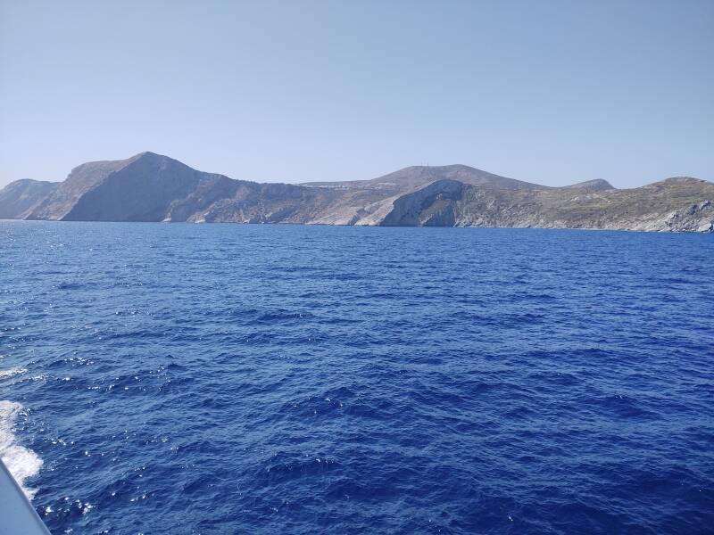
Moving a little further, Hora comes into view. The highest point of that steep slope along the shore is the peak above the Panagia, the large church overlooking Hora. Then down and to its right, Hora is the thin line of white buildings at the top of a shadowed cliff.
The high point of the island is in the distance. At about 405 meters, it hosts a telecommunications relay station and a nearby chapel.
Hora is at 200 to 220 meters elevation, built at the edge of a sheer drop that transitions from vertical cliff to a very steep slope on the way down to the water.
The location was chosen to keep the pirates away.
In addition, the town was built as a kastro or fort, with houses with blank outer walls facing an internal courtyard. During pirate days, the stone buildings were left in natural colors and not painted white. The settlement would have blended in to the cliff face.
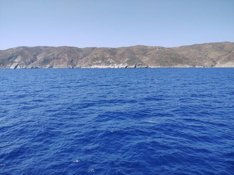
316 of the 765 people on Folegandros live in Hora. The next largest settlement is Ano Meria, which is spread all along the main road leading along the central ridge of the island to its northwest.
Crossing to Poliaigos, Kimolos, and Milos
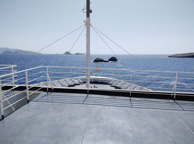
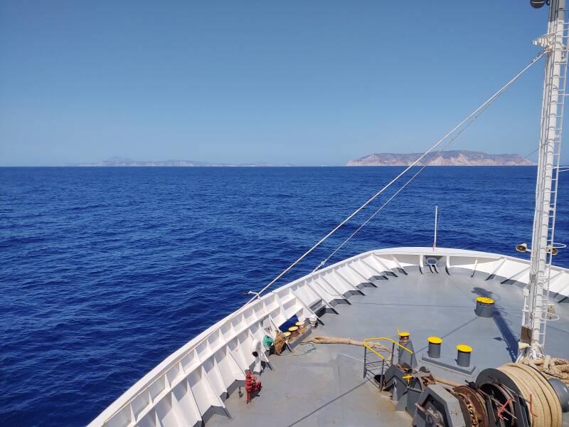
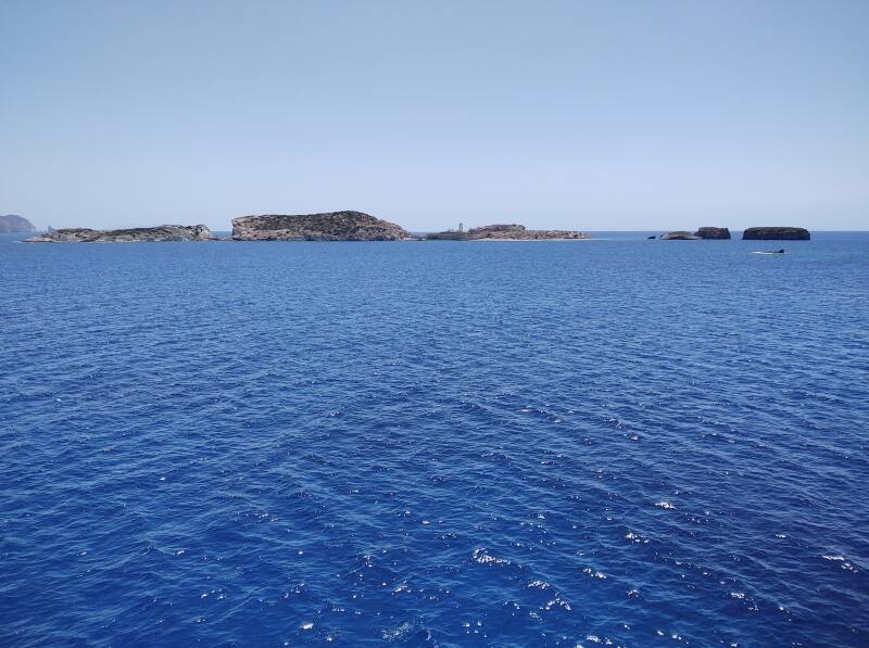
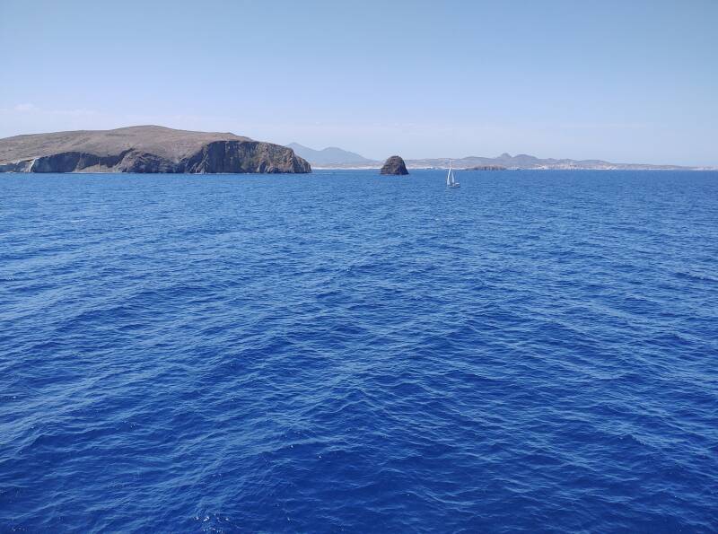
By the time we reached the northwestern tip of Folegandros, Πολύαιγος or Poliaigos was clearly visible.
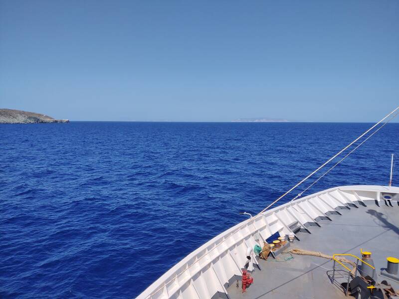
As we approached, Milos, further away and to the left, became more visible.
Poliaigos has a lighthouse and another structure, but there's no settlement there.
A Short Stop at Kimolos
The island of Κίμωλος or Kimolos is a little larger than Poliaigos, but much smaller than Milos.
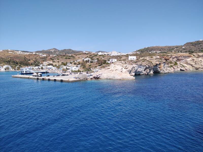
We made a quick call here at the port below its main town.
Then we were quickly back in motion.
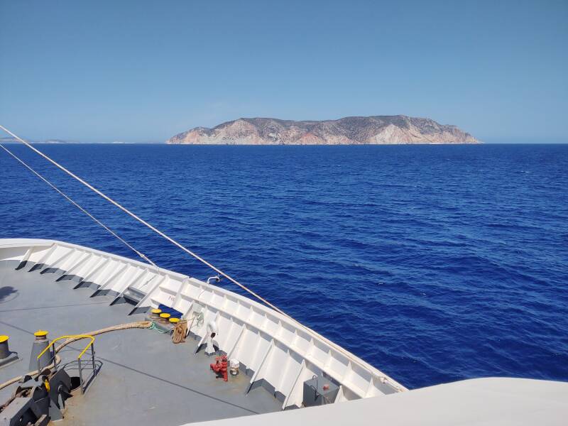
Άγιος Γεώργιος or Agios Georgios is a small island about 840 meters long between Poliaigos, Kimolos, and Milos.
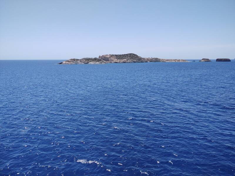
I read that now it's privately owned by a family from Kimolos. There's a church on the island, surrounded by the remains of a monastery built before 1700.
Around the North Side of Milos to its Harbor
We made our way toward the port of Pollonia at the northeast tip of Milos.
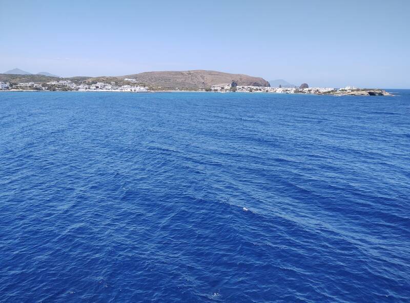
We weren't going to make a port call at Pollonia but we must get pretty close as the strait between Milos and Kimolos is just 1,060 meters wide.
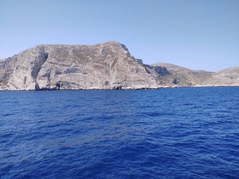
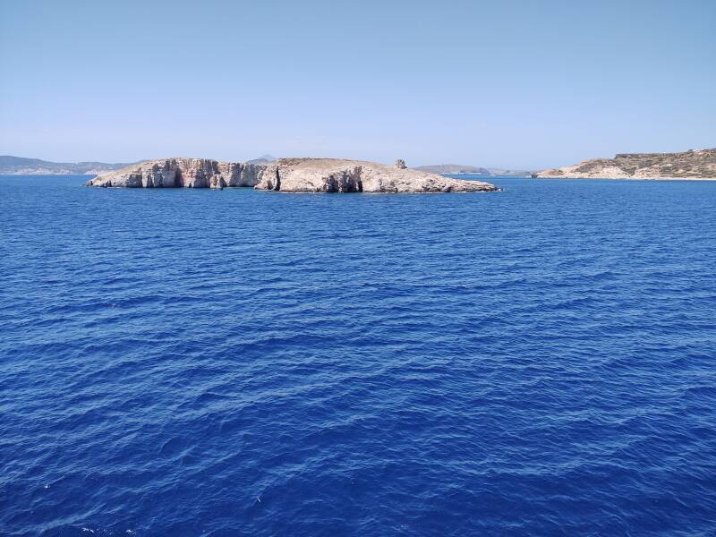
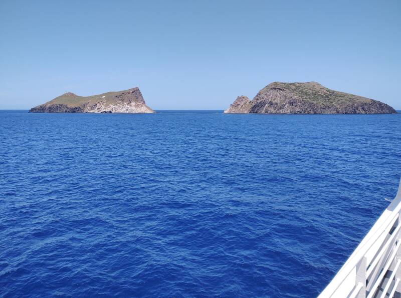
Before long we were rounding the northern tip of Milos and turning into its large bay. We passed two small steep-sided islands.
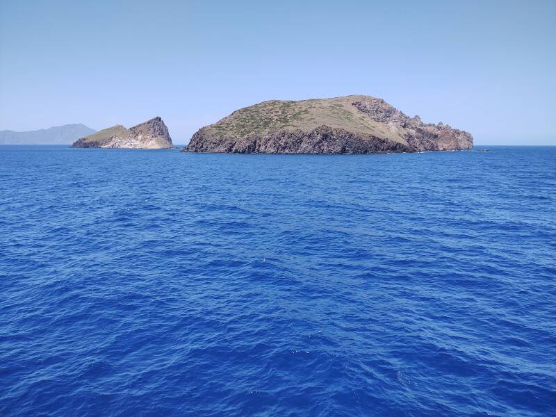
That's Ακράθι or Akrathi at left, and Αρκάδι or Arkadi at right.
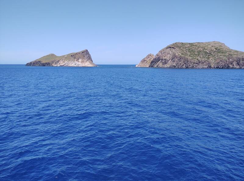
Akrathi has a lighthouse on its slightly lower peak at left, and a chapel on the grassy slope.
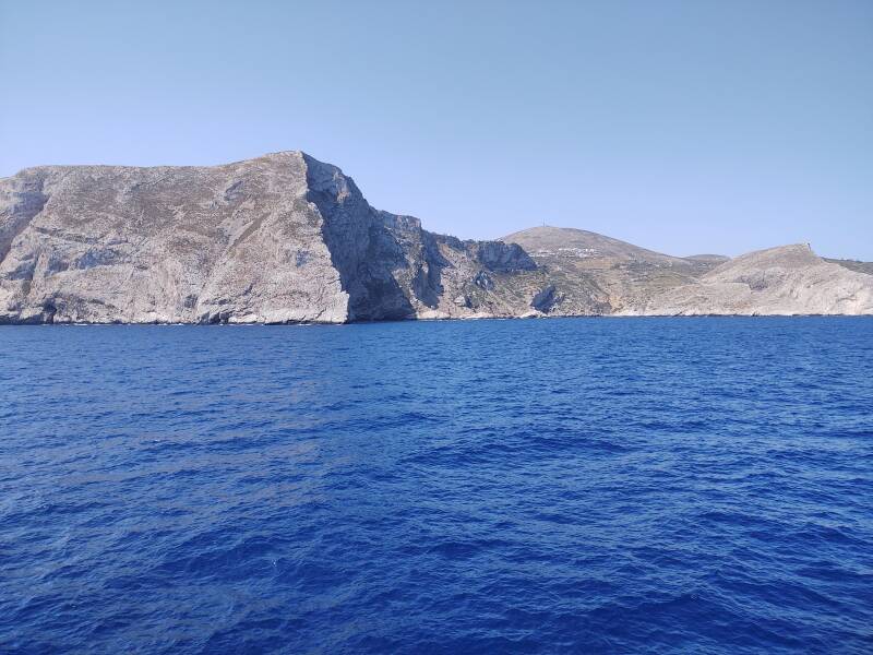
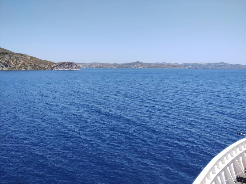
Into the Caldera of Milos
Once past Arkadi and Akrathi we entered the large bay of Milos. It's the flooded caldera of a large volcano.
Milos is a volcanic island about 23 kilometers east-west and 13 kilometers north-south, overall. The volcanic eruptions and mountain-building began 2 to 3 million years ago. It last erupted 90,000 years ago, and is now considered to be dormant. But thermal activity continues with several sulfurous hot springs around the island.
The flooded caldera forms a wonderful natural harbor about 7 kilometers east-west and 4 kilometers north-south, and up to 130 meters deep.
People came from the mainland as early as 15,000 years ago to collect obsidian, volcanic glass useful for making extremely sharp tools. They crossed 120 kilometers from the coast on Laconia on the Peloponnese.
They didn't settle here, they just made short visits to collect obsidian for a little over 10,000 years. The first settlement on Milos dates back to the middle of the third millennium BCE, in the Bronze Age.
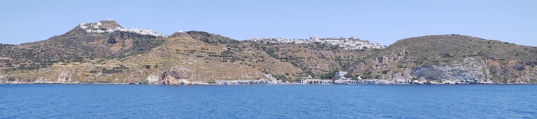
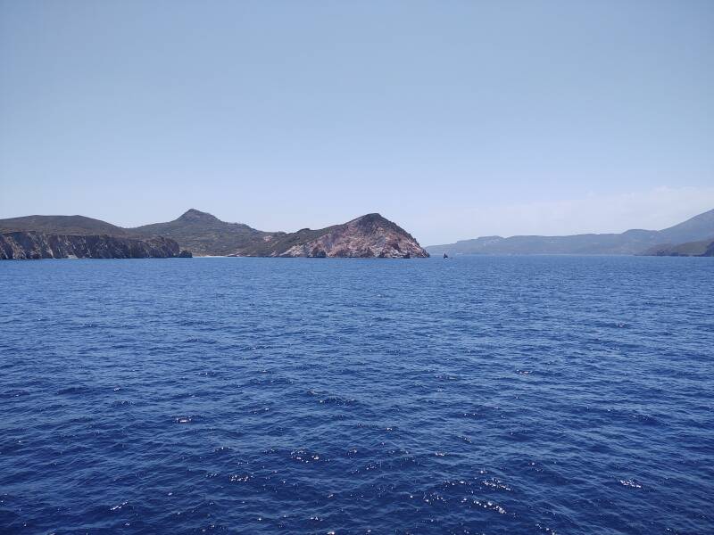
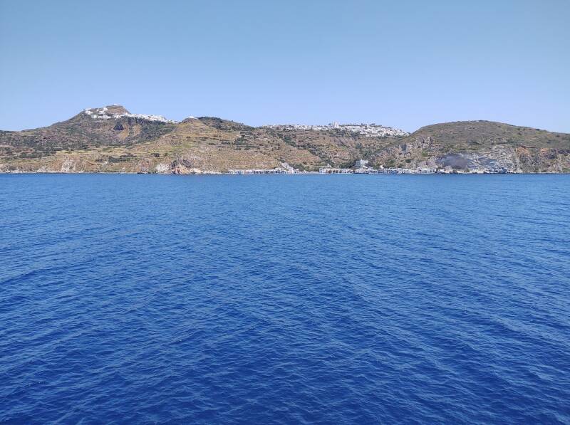
For most of the past two millennia the settlements were all on the high ground. We're starting to see one of them.
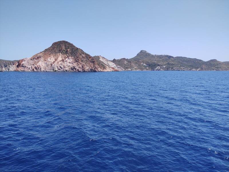
Above and below we see Πλάκα or Plaka on and immediately below the peak at left, Τρυπητή or Trypiti along the ridge to its right, and Κλήμα or Klima along the shore.
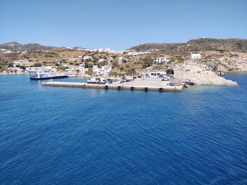
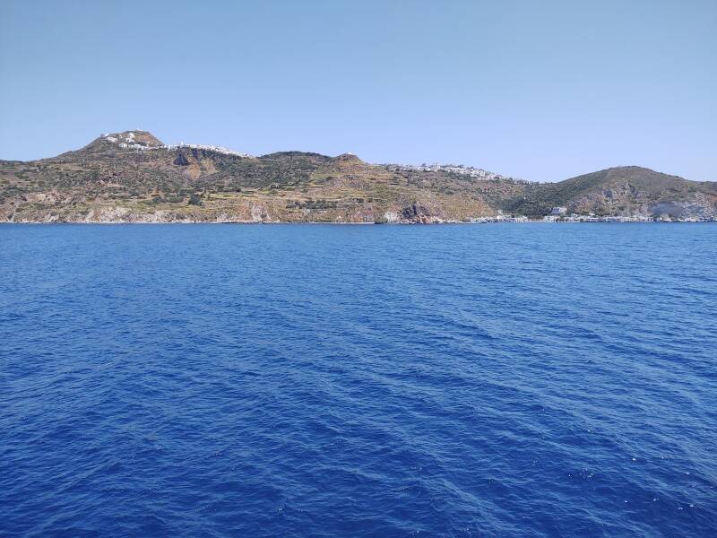
The port came into view.
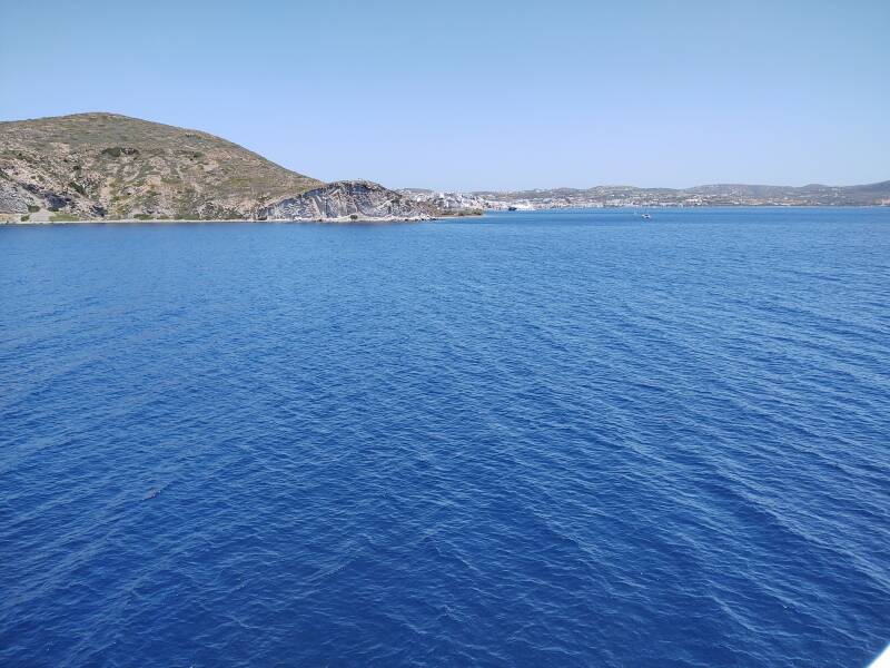
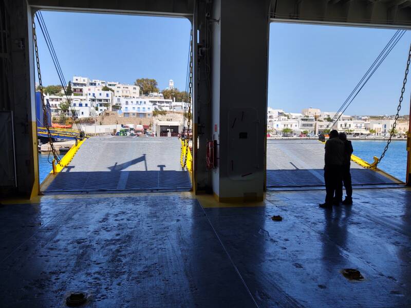
Landing on Milos
The port goes by two names, Αδάμαντας or Αδάμας, or Adamantas or Adamas.
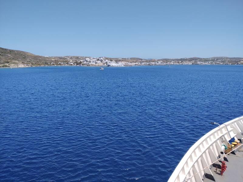
A large high-speed Sea Jets ferry was tied up at the pier, we would dock alongside it.
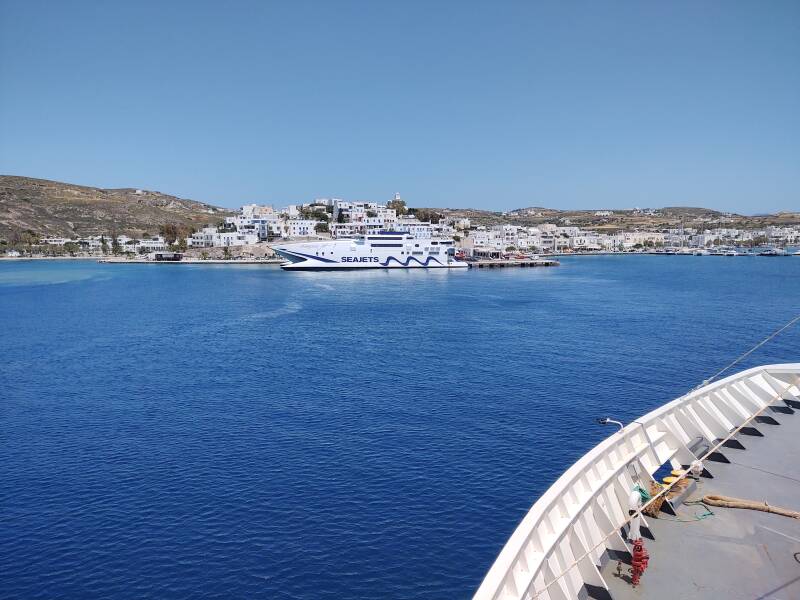
It was time to get below to be ready to go ashore.
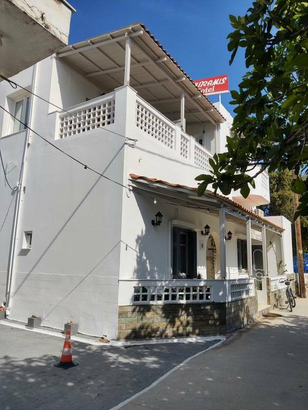
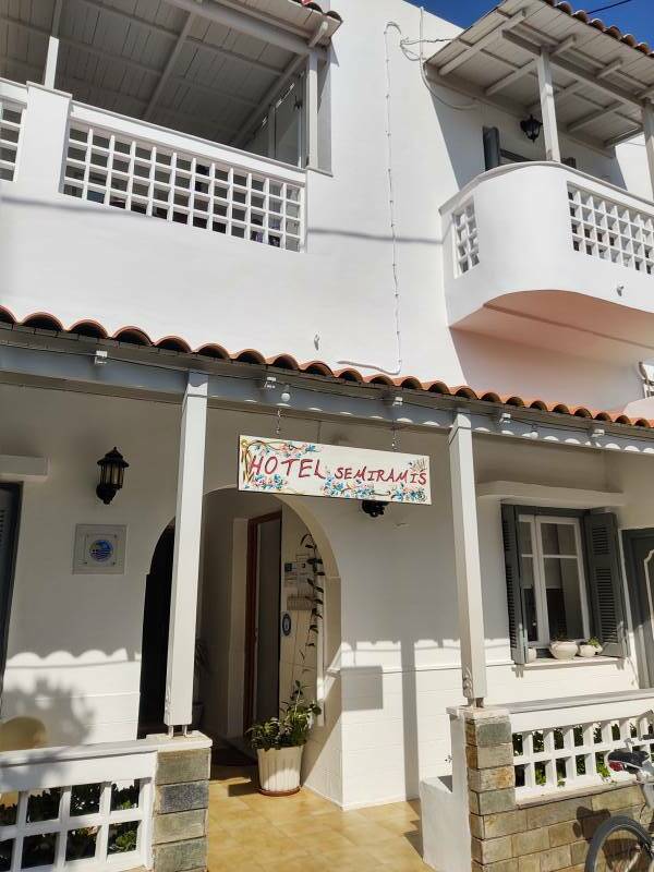
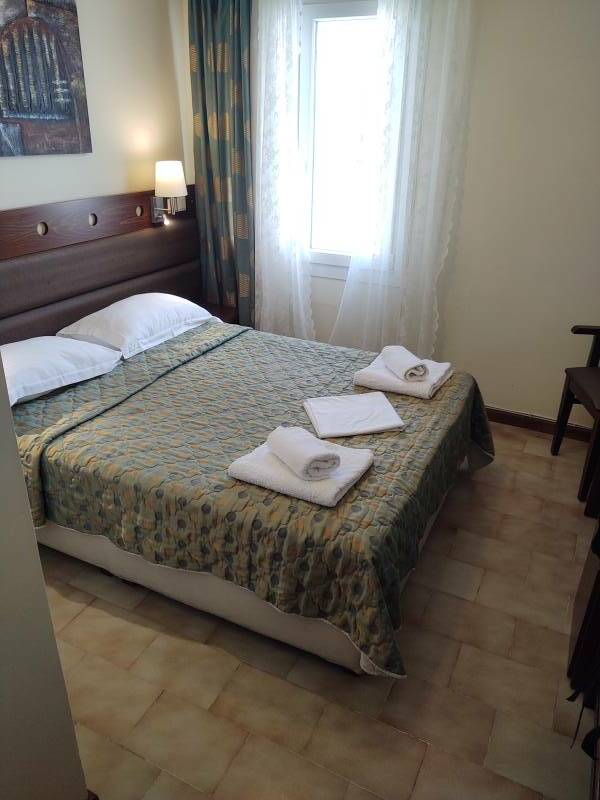
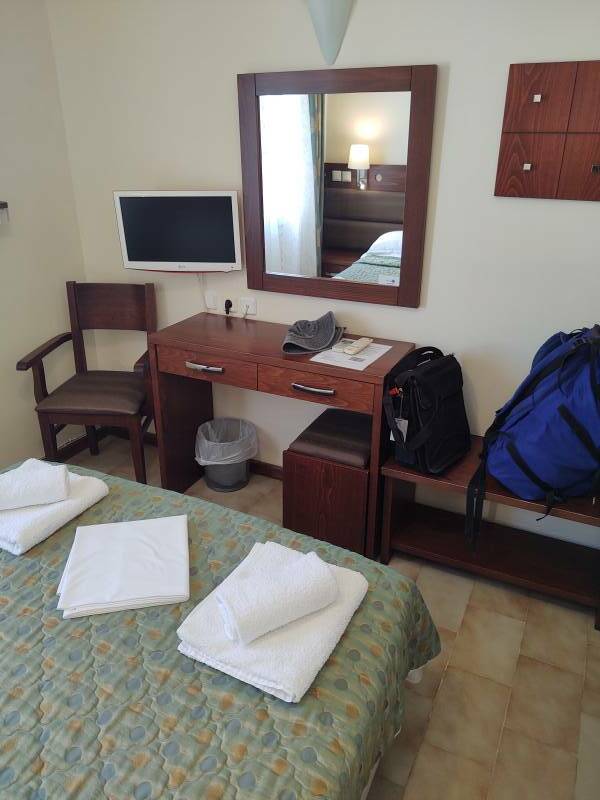
Finding my Accommodations
Guesthouses at Booking.comI stayed at the Semiramis Hotel, which is just three short blocks inland from the line of cafes along the waterfront.
Or, Continue Through Greece: